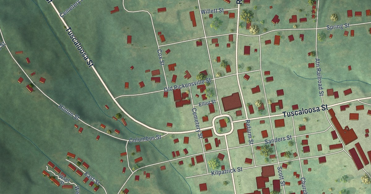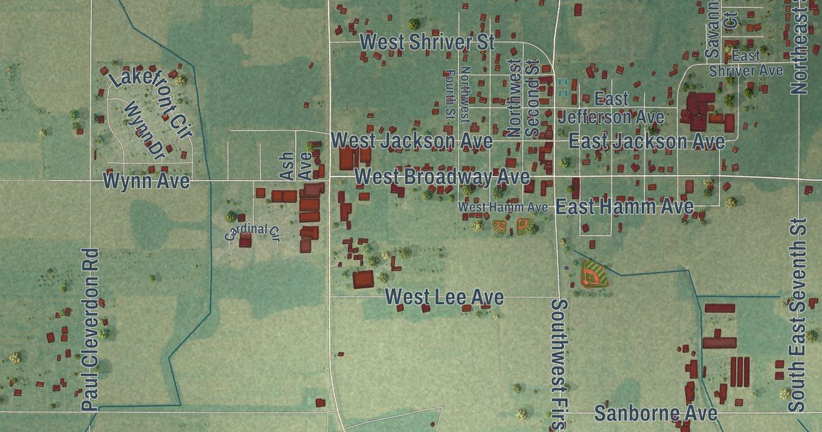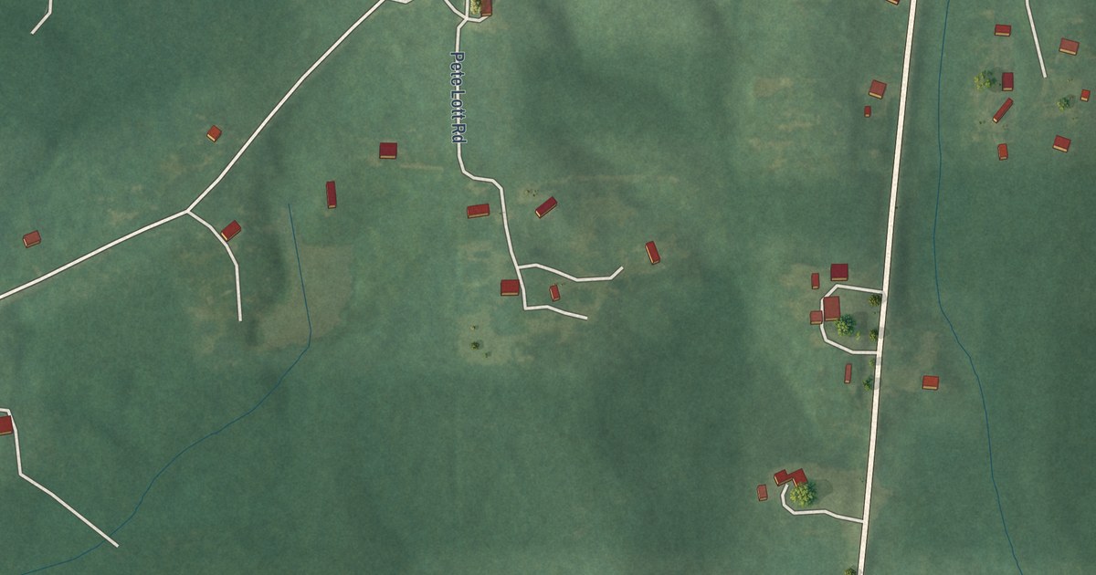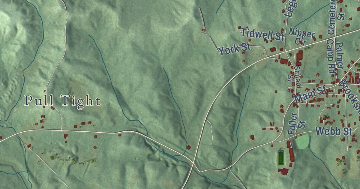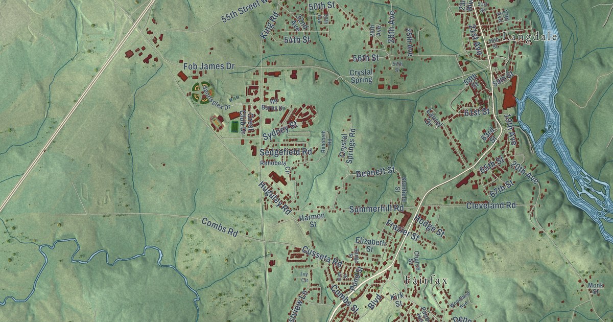
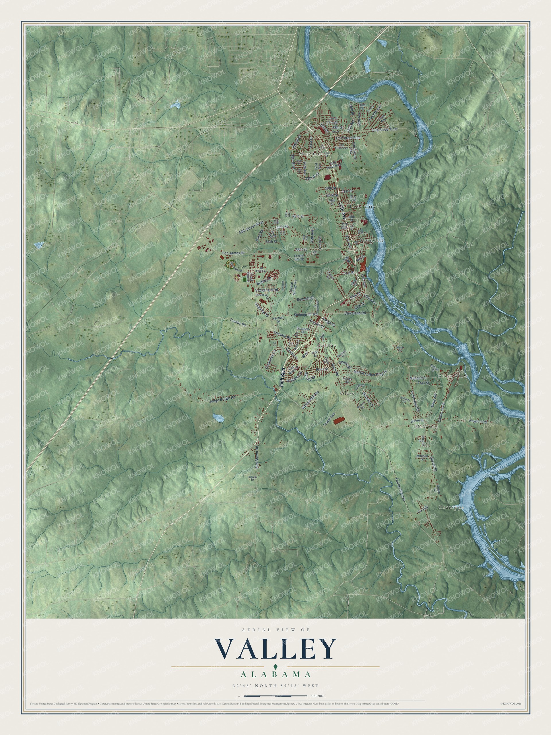
This beautifully detailed map of Valley, Alabama was created in 2026 using aerial imagery combined with modern topographical, census, street and landmark data. It’s a one-of-a-kind view of Valley that combines accurate data with a vintage aesthetic. The map shows every building in its true location, many of the roads carry their names, and the shaded topographic relief shows the shape of the land.
Explore an aerial view of Valley, Alabama
On the map you’ll find Osanippa, Eady City, Fairfax, Glass, Langdale, McGinty, River View, and Shawmut, along with 64th Boulevard, 20th Avenue, River Road, 30th Street East, and more. If you look closely you can even find your house accurately drawn in its correct location. Zoom in on the preview to look for yours.
Did you know this piece of Valley, Alabama history?
From Encyclopediaofalabama.org: "The city of Valley officially dates to 1980, but the area has long been settled, first by the Creeks and then by whites after the Creeks were forced from their land in 1836."
Take a closer look at the Valley map
Street and place names on the Valley, Alabama map
These names are printed on the map of Valley, Alabama.
Places: Osanippa, Eady City, Fairfax, Glass, Langdale, McGinty, River View and Shawmut.
Streets and roads: 64th Boulevard, 20th Avenue, River Road, 30th Street East, Fob James Drive, Cusseta Road, Columbus Road, Fairfax Bypass, Boulevard, 55th Street West, Judge Brown Road, 24th Avenue.
More street names, A to Z
14th Avenue, 15th Avenue East, 16th Avenue, 16th Place, 17th Avenue, 18th Avenue, 19th Avenue, 19th Place, 21st Avenue, 22nd Avenue, 23rd Boulevard, 23rd Drive, 24th Street, 25th Avenue, 25th Boulevard, 25th Street, 26th Avenue, 26th Street, 27th Street, 28th Avenue, 28th Street, 29th Avenue, 29th Boulevard, 29th Street, 30th Avenue, 31st Avenue, 31st Street East, 32nd Avenue, 32nd Street, 33rd Street, 33rd Street East, 34th Street, 35th Street East, 36th Street, 38th Boulevard, 40th Street, 41st Street, 42nd Street, 43rd Street, 48th Street, 49th Street, 50th Street, 51st Street, 54th Street, 55th Street, 56th Street, 57th Street, 58th Street, 59th Street, 61st Street, 63rd Street, 65th Street, 67th Street, Ben Brown Road, Bennett Street, Bland Street, Brown Circle, California Street, Church Street, Cleveland Road, Combs Road, Combs Street, Crest Club Drive, Crestview Lane, Crystal Spring, Crystal Springs Road, Denna Road, East Sears Street, Elizabeth Street, Elm Street, Foster Circle, Frazier Street, Gaylor Street, Gibson Street, Harmon Street, Hodge Street, Huguley Road, Ingram Drive, Ivy Circle, Kilgore Street, King Road, Kirk Street, Laurel Drive, Mapp Road, Martin Luther King Drive, Melody Lane, Mitchell Street, Monarch Avenue, Monk Street, Myhand Street, Newton Road, Patton Hill, Pond Street, Range Street, Rehobeth Circle, Rehobeth Road, School Street, Second Street, Sedgefield Road, Sportsplex Drive, Spring Street, Stanfield Street, Summerhill Road, Sydney Street, Tenth Avenue, Towel Avenue, Trail Street, Twelfth Avenue, Wf Burns Drive, Whites Mill Road, Williams Street, Williams Terrace, Woodland Avenue.
See the Valley, Alabama map on a wall
The Valley map as an 18 x 24 inch print in a black frame.

This beautifully detailed map of Valley makes an attractive addition to your office, library, or den, and it can even be used to teach children the geography and history of the area. It also makes a great gift for someone who left Valley and still calls it home. When you’re done exploring, click here to get your copy of the Valley map.