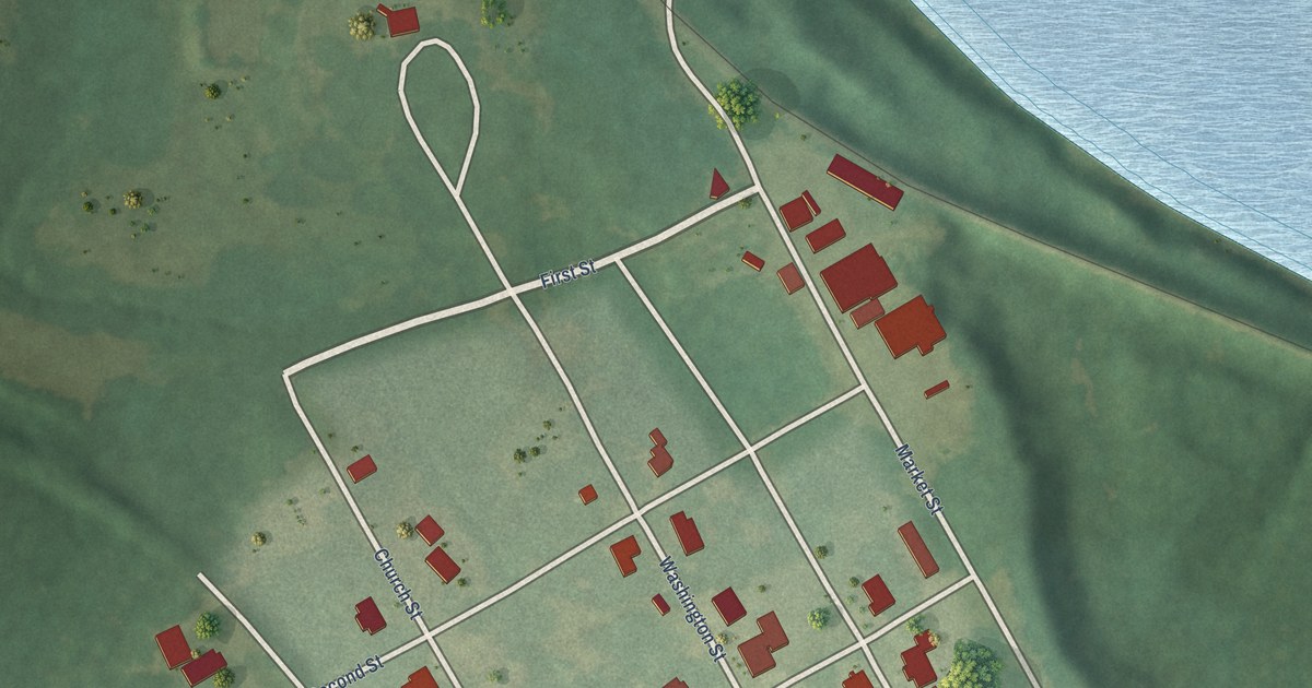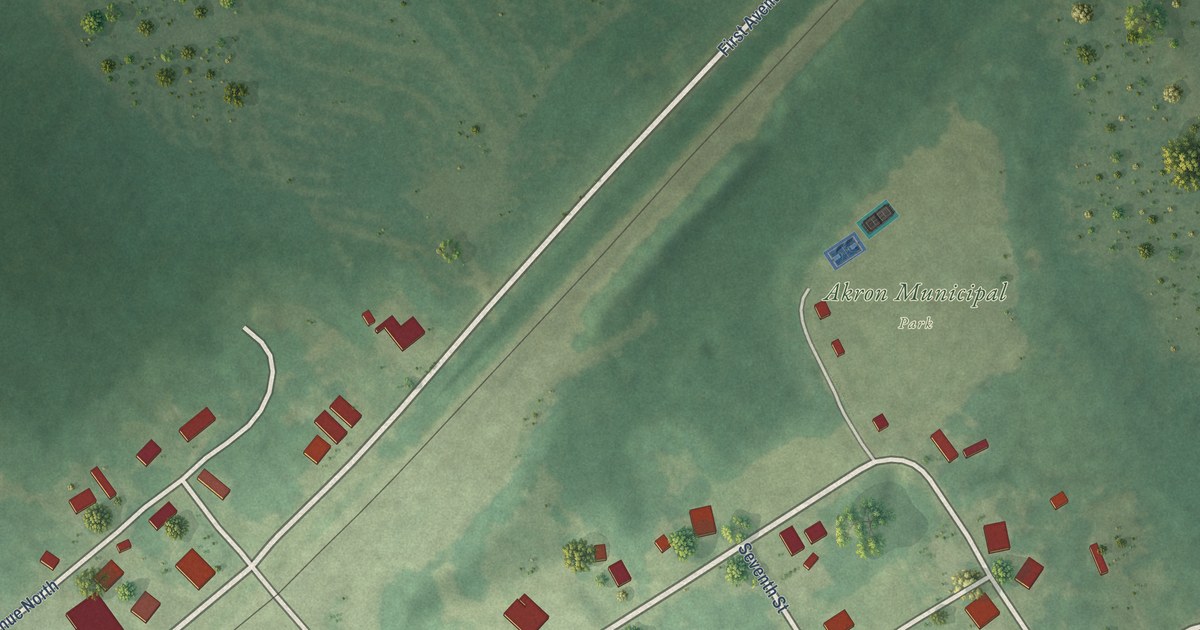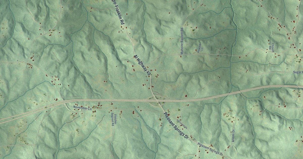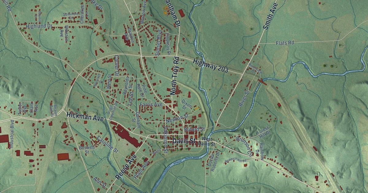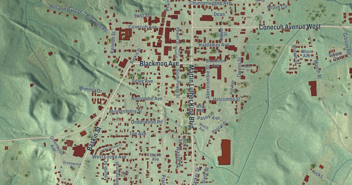
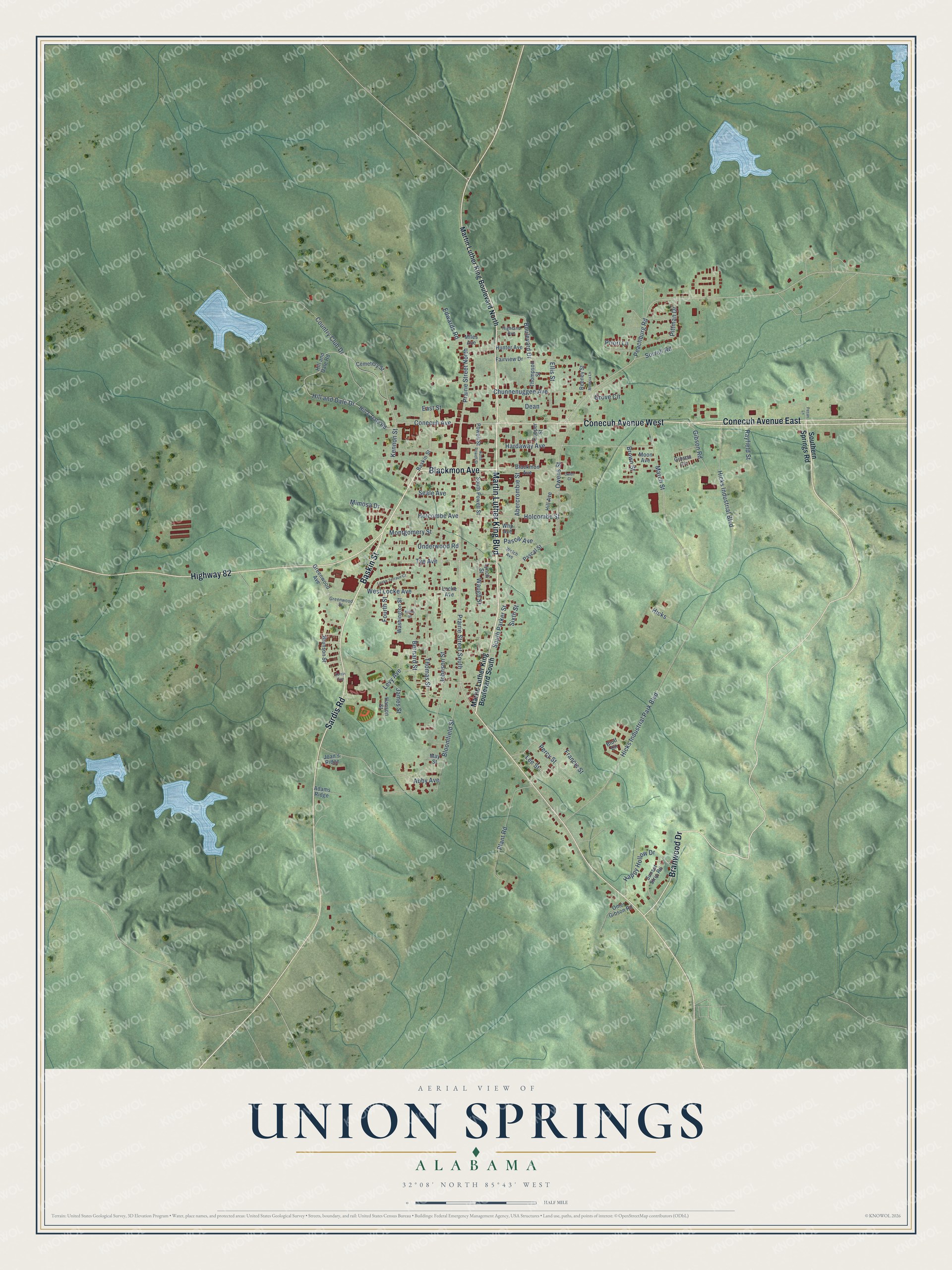
This beautifully detailed map of Union Springs, Alabama was created in 2026 using aerial imagery combined with modern topographical, census, street and landmark data. It's a modern aerial view of Union Springs in Bullock County, Alabama, that combines modern data with a vintage aesthetic. The roads feature printed names, and if you look closely you can find your exact house accurately shown in its correct location.
Explore an aerial view of Union Springs, Alabama
On this map you'll find Martin Luther King Boulevard, Blackmon Avenue, Baskin Street, Conecuh Avenue East, Conecuh Avenue West, Sardis Road, Branwood Drive, Highway 82, Prairie Street South, Prairie Street North, Conecuh Avenue, Grove Circle, and more. Each red shape is a building, so zoom in on the preview and look for yours.
Union Springs has a story worth telling. The record at encyclopediaofalabama.org puts it this way: "Bonnie Plant Farms, the nation's largest grower of container vegetables and herbs, was founded in Union Springs and now has facilities in all 50 states."
Union Springs is a city in Bullock County. The Census Bureau counted 3,358 people here in 2020.
Take a closer look at the Union Springs map
Names on this map
These names are printed on this map.
Streets and roads: Martin Luther King Boulevard, Blackmon Avenue, Baskin Street, Conecuh Avenue East, Conecuh Avenue West, Sardis Road, Branwood Drive, Highway 82, Prairie Street South, Prairie Street North, Conecuh Avenue, Grove Circle.
More street names, A to Z
Abby Avenue, Abercrombie Street, Adams Ridge, Bernard Street, Bloomfield Street, Bluff Circle, Boulevard Drive, Brown Street, Brunson Street, Cemetery Street, Chunnenuggee Avenue, Cooper Street, Country Club Drive, Dean, East Street, Edwards Road, Ellis Street, Fairview Drive, Fourth Street, Francis Street, Gibson Circle, Gibson Road, Greenwood Avenue, Greenwood Street, Hanson Street, Happy Hollow Drive, Hardaway Avenue, Henry Street, Herrin Avenue, Hicks, Hicks Industrial Boulevard, Hicks Industrial Park Boulevard, Highland Avenue, Hill & Dale Road, Hill and Dale Drive, Hill and Dale Road, Hill Avenue, Holcombe Avenue, Holcombe Street, Hunter Avenue, James Street, Joan's Ridge, Johnson Street, Kennon Street, Lee Street, Levy Avenue, Locke Avenue, Locke Terrace Court, Lynch Street, March Street, Martin Luther King Boulevard North, Martin Luther King Boulevard South, May Street, Melissa Lane, Miles Avenue, Mimosa Drive, Montgomery Street, Moon Avenue, North Powell Street, Omer Gibson Road, Owen Court, Owens Street, Pascal Avenue, Pascal Street, Peachburg Road, Pecan Lane, Percy Street, Pittman Drive, Plant Road, Powell Street, Priori Lane, Rayfield Street, Reeney Street, Seale Avenue, Sixth Street, Sorrell Road, Southern Springs Road, South Parker Street, South Powell Street, Sunset Strip Road, Thomas Street, Thompson Street, Tye Avenue, Underwood Road, Washington Street, Waugh Street, Welch Avenue, West Locke Avenue, Whp Avenue.
Created by KNOWOL in 2026. The buildings are small red shapes, the roads carry their printed names, and shaded relief shows the shape of the land. The title panel reads "AERIAL VIEW OF UNION SPRINGS ALABAMA" with 32°08' NORTH 85°43' WEST.
It looks right in a kitchen, an office or a den, and it's a gift for anyone who grew up in Union Springs or moved away. Open the preview and find your street. See sizes and frames for the Union Springs map.