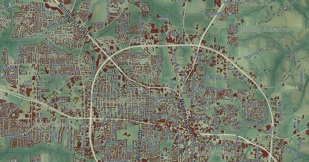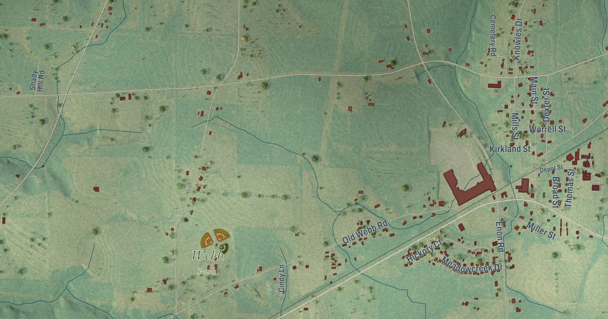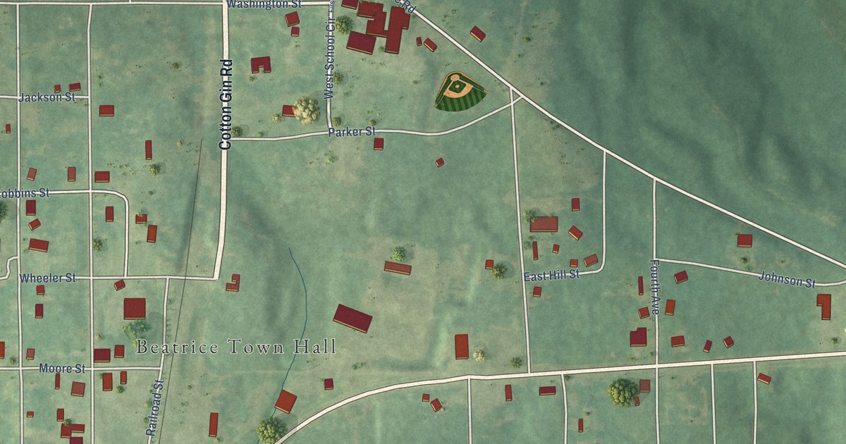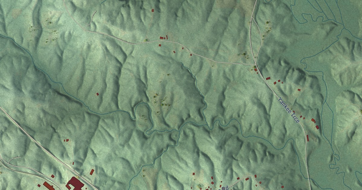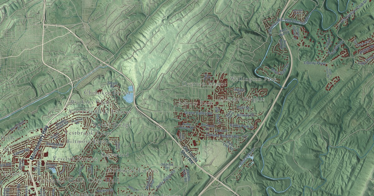
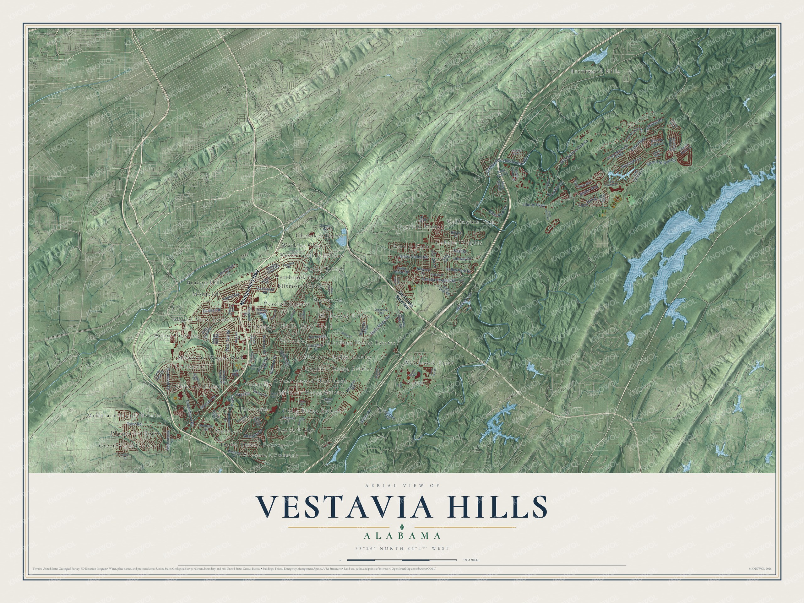
This beautifully detailed map of Vestavia Hills, Alabama was created in 2026 using aerial imagery combined with modern topographical, census, street and landmark data. It's a modern aerial view of Vestavia Hills in Jefferson County, Alabama, that combines modern data with a vintage aesthetic. The roads feature printed names, and if you look closely you can find your exact house accurately shown in its correct location.
Explore an aerial view of Vestavia Hills, Alabama
On this map you'll find Vestavia Hills City Hall, Acton, Altadena Forest Estates, Altadena Ridge Estates, Arbor Crossing, Asbury Park, Beacon Hills, Biltmore Estates, Brentwood Hills, Cahaba Heights, Cherokee Forest, Chimney Hills, and more. Each red shape is a building, so zoom in on the preview and look for yours.
Every town has a first chapter, and Vestavia Hills is no exception. The record at encyclopediaofalabama.org puts it this way: "The sites for both the junior high school and the high school were donated by members of the Pizitz family, founders of Birmingham's Pizitz Department Store and residents of Vestavia Hills."
Vestavia Hills is a city in Jefferson County. The Census Bureau counted 39,102 people here in 2020.
Take a closer look at the Vestavia Hills map
Names on this map
These names are printed on this map.
Places: Vestavia Hills City Hall, Acton, Altadena Forest Estates, Altadena Ridge Estates, Arbor Crossing, Asbury Park, Beacon Hills, Biltmore Estates, Brentwood Hills, Cahaba Heights, Cherokee Forest, Chimney Hills, Country Ridge Estates, Countrywood Highlands, Coventry, Crossgate, Derby Downs Estates, Dolly Ridge Estates, Green View Estates, Hickory Ridge Estates, Millbrook Estates, Montclair, Montreat, Mountain Branch Estates, Mountain Woods Park, Overton Manor, Panorama, Plantation Point, Rocky Bridge, Rocky Ridge, Sagewood, Shades View Estates, Vesclub Estates, Vestavia Hills Estates, Vestbrook Trace, Vestridge, Watkins Glen, Wellington Park, Westbrook Trace and Wisteria Commons.
Streets and roads: Montgomery Highway, Columbiana Road, Blue Lake Drive, Ternview Road, Dolly Ridge Road, Liberty Parkway, Old Overton Club Drive, Sicard Hollow Road, Lake Parkway, Cahaba Heights Road, Tyler Road, River View Drive.
More street names, A to Z
Acton Drive, Acton Road, Alston Way, Altadena Road, Altaloma Drive, Altaridge Drive, Ashland Lane, Badham Drive, Belwood Drive, Boulder Lake Circle, Brent Drive, Cahaba River Road, Caledonian Way, Canyon Creek Lane, Catala Road, Chestnut Road, Chestnut Street, Colony Park Drive, Comer Drive, Coventry Drive, Dolly Ridge Drive, East Street, Fargo Drive, First Avenue, Forest View Lane, Founders Drive, Galen Way, Garland Drive, Green Valley Road, Hays Circle, Healthy Way, Hickory Road, Hillard Drive, Hillway Drive, Ida Lane, Indian Creek Drive, Indian Hill Road, Jacobs Road, Jones Drive, Kenvil Circle, Kings Mountain Ridge, Kings Mountain Road, Lake Colony Drive, Lake Colony Lane, Lakeland Trail, Lake Run Drive, Laurel Road, Lee Alley, Liberty Park Lane, Linda Vista Drive, Magnolia Ridge, Massey Road, Mayland Lane, Montreat Drive, Mountain View Lane, Norwich Drive, Old Brook Trail, Old Florida Short Route, Old Overton Road, Overton Road, Panorama Lane, Park Hill Drive, Pine Crest Drive, Pipe Line Road, Pizitz Drive, Poe Drive, Post Oak Road, Pump House Road, Reynolds Lane, Ridgely Drive, River Run Drive, River Run Lane, Rosemary Lane, Roundhill Road, Shades Crest Road, Smyer Road, South Cove Drive, South Liberty Road, Southwood Road, Squire Lane, Staffordshire Lane, Taralane Drive, Third Avenue, Urban Center Drive, Valley Circle, Valley Park Drive, Vesclub Circle, Vesclub Lane, Vestavia Forest Place, Vestavia Lake Drive, Vestavia Parkway, Vestlake Cove Drive, Vestlake Ridge Drive, Viking Circle, Wall Street, White Oak Drive, Wickford Road, Willoughby Road, Wisteria Drive, Woodridge Place, Yorkmont Drive.
Created by KNOWOL in 2026. The buildings are small red shapes, the roads carry their printed names, and shaded relief shows the shape of the land. The title panel reads "AERIAL VIEW OF VESTAVIA HILLS ALABAMA" with 33°26' NORTH 86°47' WEST.
Hang it in the hallway, the office or the cabin, or give it to someone who left Vestavia Hills and still calls it home. Open the preview and look for a street you know. See sizes and frames for the Vestavia Hills map.