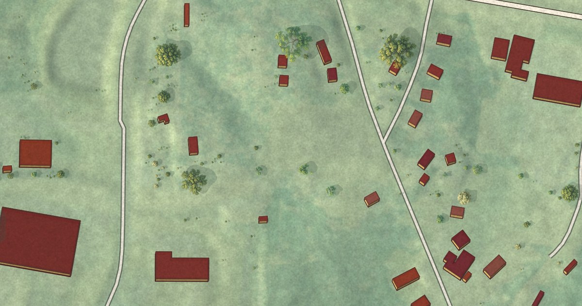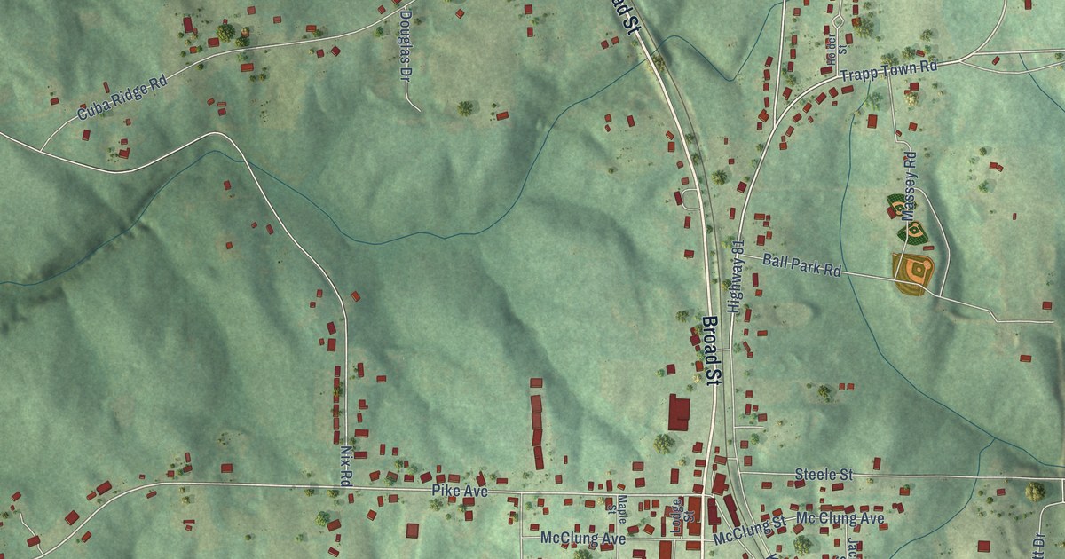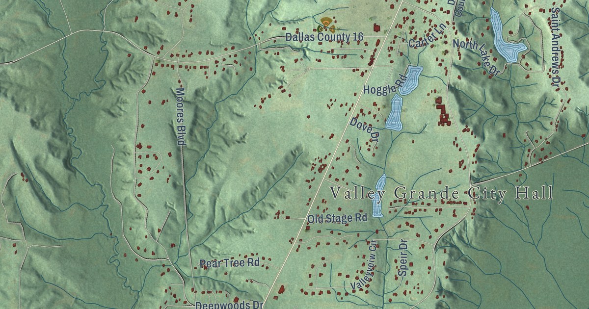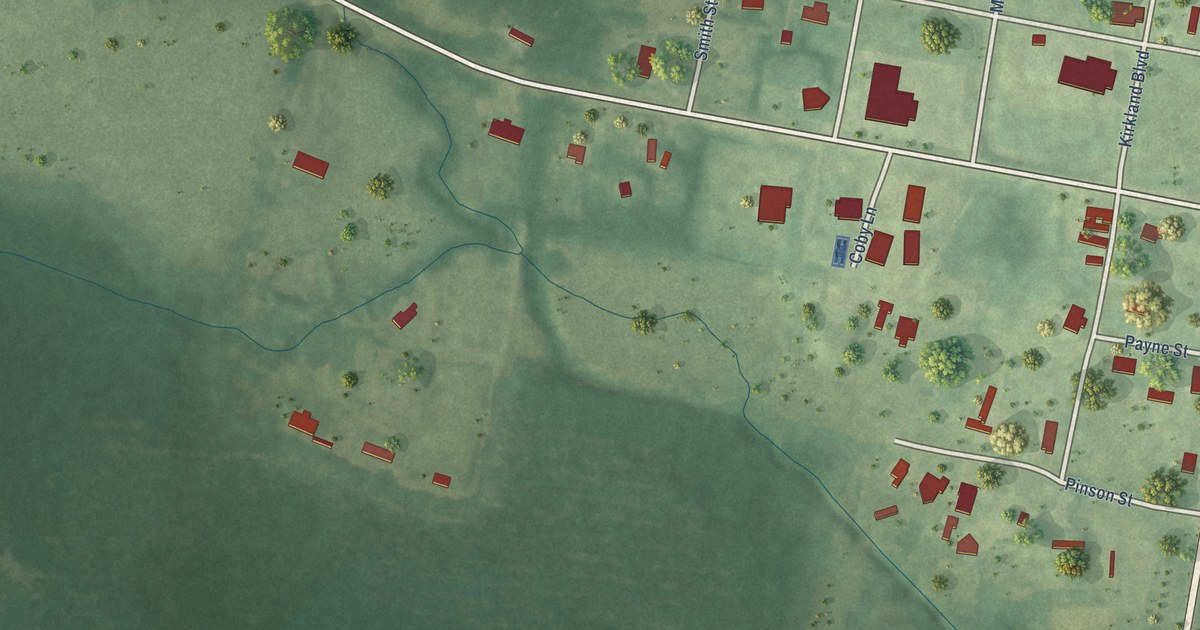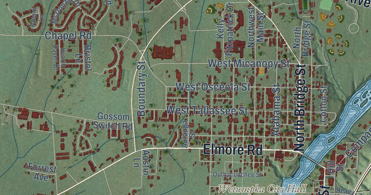
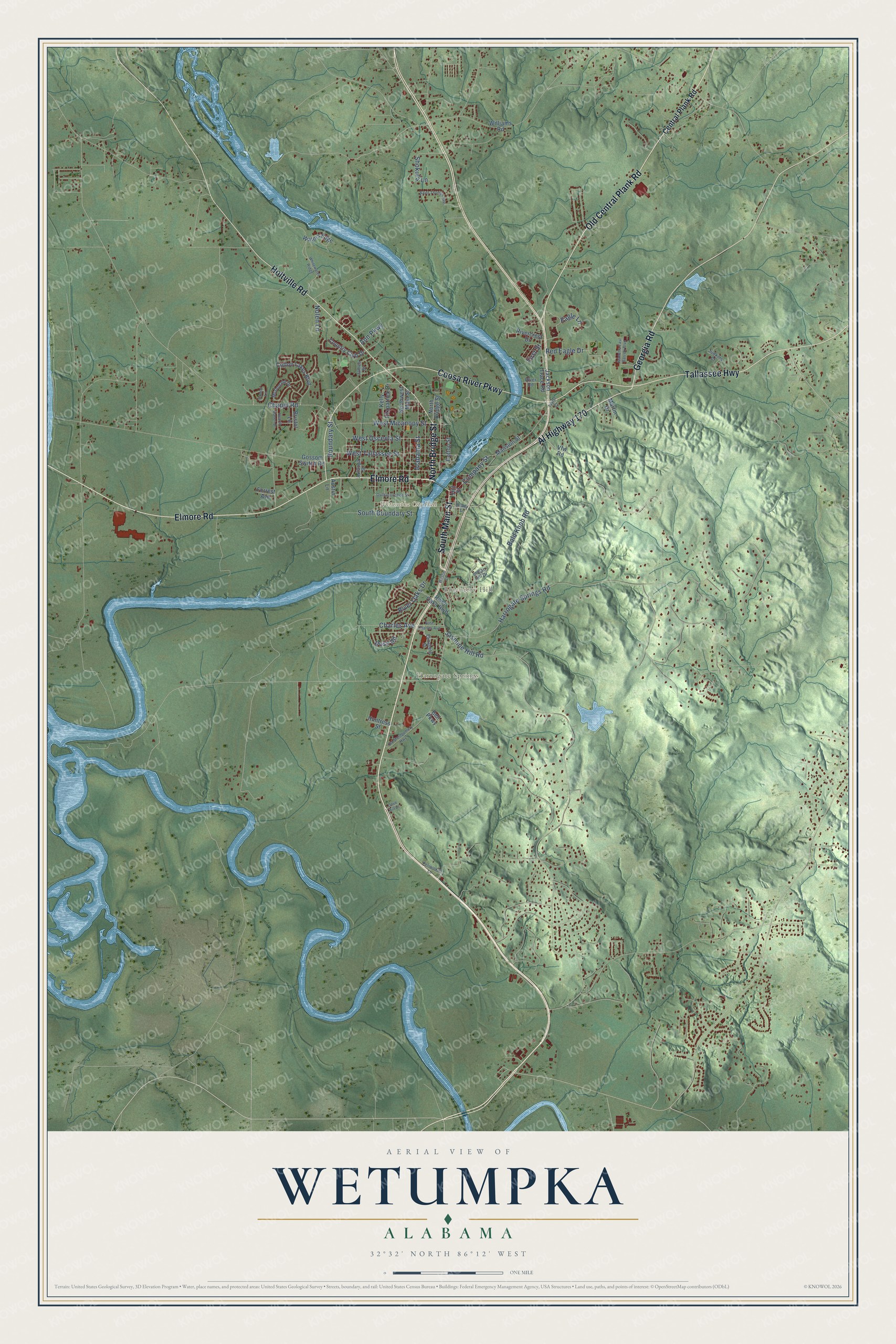
This beautifully detailed map of Wetumpka, Alabama was created in 2026 using aerial imagery combined with modern topographical, census, street and landmark data. It’s a one-of-a-kind view of Wetumpka that combines accurate data with a vintage aesthetic. The map shows every building in its true location, many of the roads carry their names, and the shaded topographic relief shows the shape of the land.
Explore an aerial view of Wetumpka, Alabama
On the map you’ll find Wetumpka City Hall, Wallsboro, Willow Springs, Blueberry Hill, Harrogate Springs, Saint Clair, and Tarwater, along with Elmore Road, South Main Street, North Bridge Street, Old Central Plank Road, Tallassee Highway, and more. If you look closely you can even find your house accurately drawn in its correct location. Zoom in on the preview to look for yours.
Did you know this piece of Wetumpka, Alabama history?
From Encyclopediaofalabama.org: "Originally divided into eastern Wetumpka, in Coosa County, and western Wetumpka, in Autauga County, the city was incorporated in February 1834 (the east side in January 1834, the west side in February 1834)."
Take a closer look at the Wetumpka map
Street and place names on the Wetumpka, Alabama map
These names are printed on the map of Wetumpka, Alabama.
Places: Wetumpka City Hall, Harrogate Springs and Blueberry Hill.
Streets and roads: Elmore Road, North Bridge Street, South Main Street, Old Central Plank Road, Tallassee Highway, Holtville Road, Coosa River Parkway, Al Highway 170, Georgia Road, West Micanopy Street, West Osceola Street, Alabama Street.
More street names, A to Z
Ann Parkway, Austin Lane, Autauga Street, Bald Knob Road, Bell Parkway, Boundary Street, Bristol Lane, Central Plank Road, Chapel Road, Charles Avenue, Company Street, Cotton Lakes Boulevard, Cotton Street, Country Club Drive, Dove Hill Drive, Eagle Lane, East Charles Avenue, Elizabeth Street, Fanoni Lane, First Street, Forrest Avenue, Gossom Switch Road, Harrogate Springs Road, Hearth Haven Drive, Hill Street, Huntress Street, Indian Hill Drive, Jackson Trace Road, James Street, Jasmine Hill Road, Jeanette East Barrett Boulevard, Judkins Court, Kelly Fitzpatrick Drive, Mansion Street, Martin Drive, McDonald Drive, Nolen Lane, Northwest Main Street, Old Montgomery Highway, Outhacoochee Street, Periwinkle Lane, Ready Street, Red Eagle Drive, Rivercrest Drive, River Oaks Boulevard, River Oaks Drive, River Road, Ross Road, Saint Thomas Avenue, Shokula Lane, South Boundary Street, Taylor Court, Vfw Road, Waters Edge, West Tallassee Street, Whitewater Ridge, Williams Road, Wilson Street.
See the Wetumpka, Alabama map on a wall
The Wetumpka map as an 18 x 24 inch print in a black frame.

This beautifully detailed map of Wetumpka makes an attractive addition to your office, library, or den, and it can even be used to teach children the geography and history of the area. It also makes a great gift for someone who left Wetumpka and still calls it home. When you’re done exploring, click here to get your copy of the Wetumpka map.