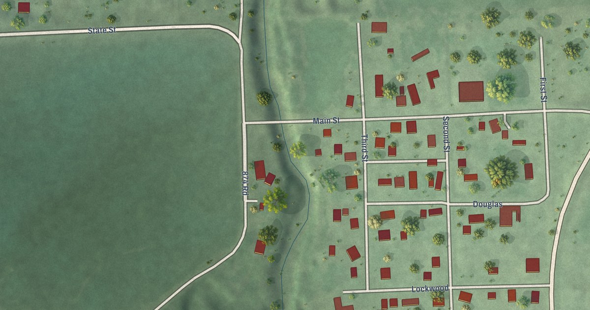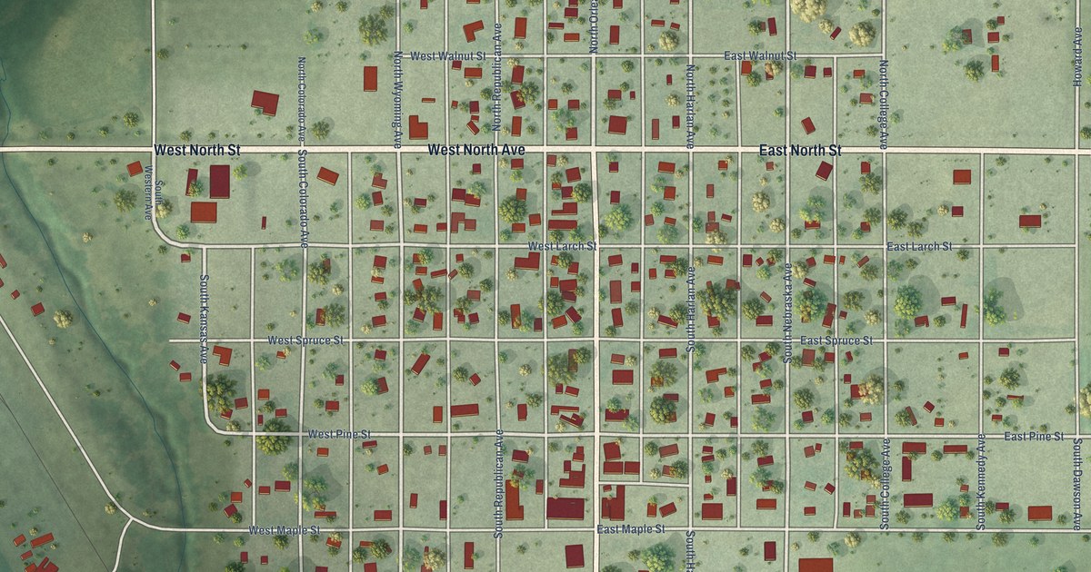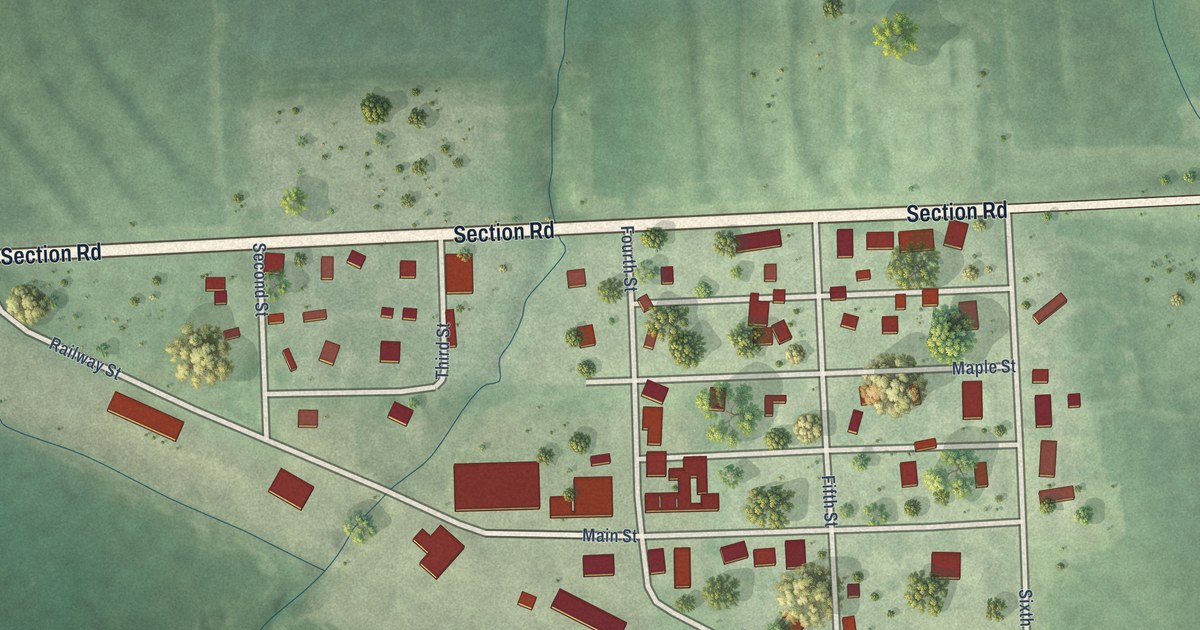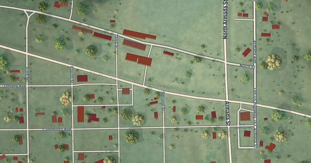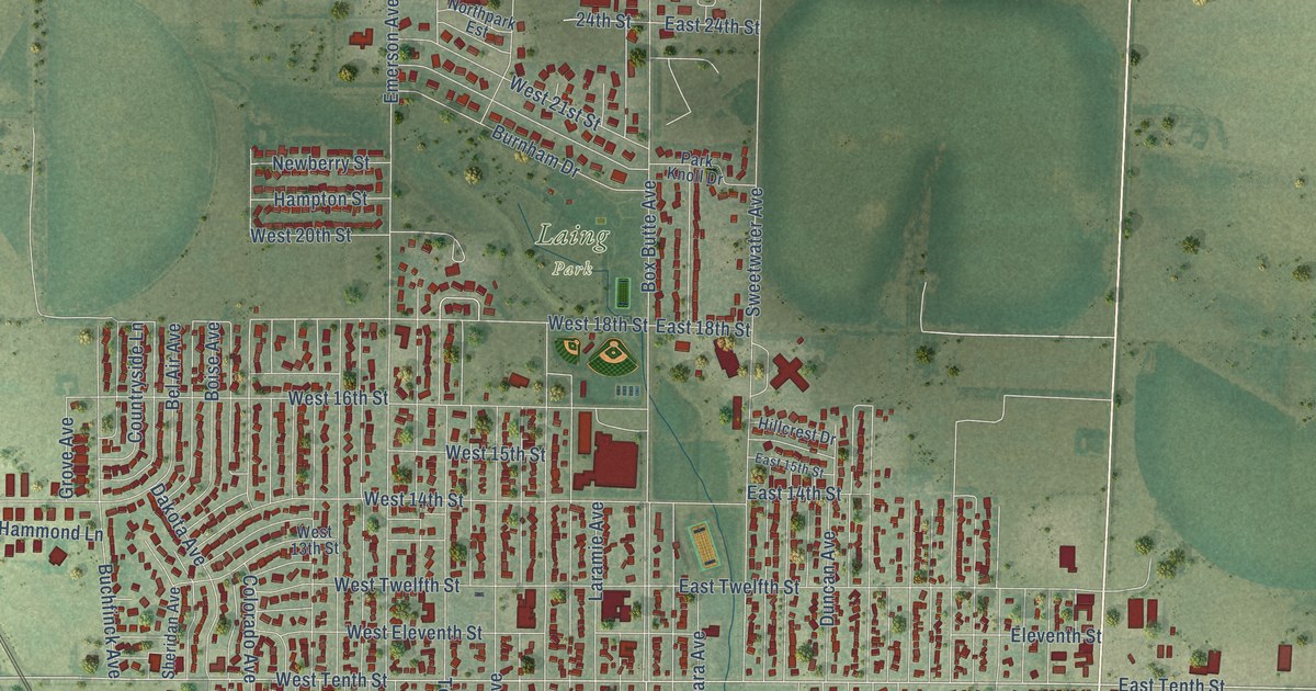
This beautifully detailed map of Alliance, Nebraska was created in 2026 using aerial imagery combined with modern topographical, census, street and landmark data. It’s a one-of-a-kind view of Alliance that combines accurate data with a vintage aesthetic. The map shows every building in its true location, many of the roads carry their names, and the shaded topographic relief shows the shape of the land.
Explore an aerial view of Alliance, Nebraska
On the map you’ll find Alliance City Hall and Laing Park, along with West Third Street, Flack Avenue, East Third Street, West First Street, East First Street, Hills Street, Box Butte Avenue, East Second Street, West Tenth Street, East Tenth Street, and more. If you look closely you can even find your house accurately drawn in its correct location. Zoom in on the preview to look for yours.
Did you know this piece of Alliance, Nebraska history?
From the University of Nebraska: "The name Alliance was given to the town by Superintendent G. W. Holdrege. He affirmed that Alliance was chosen for the reason that it was a single word, was different from the name of any other town in the state, was short, and would be near the top of the alphabetical list of the towns of the state."
Take a closer look at the Alliance map
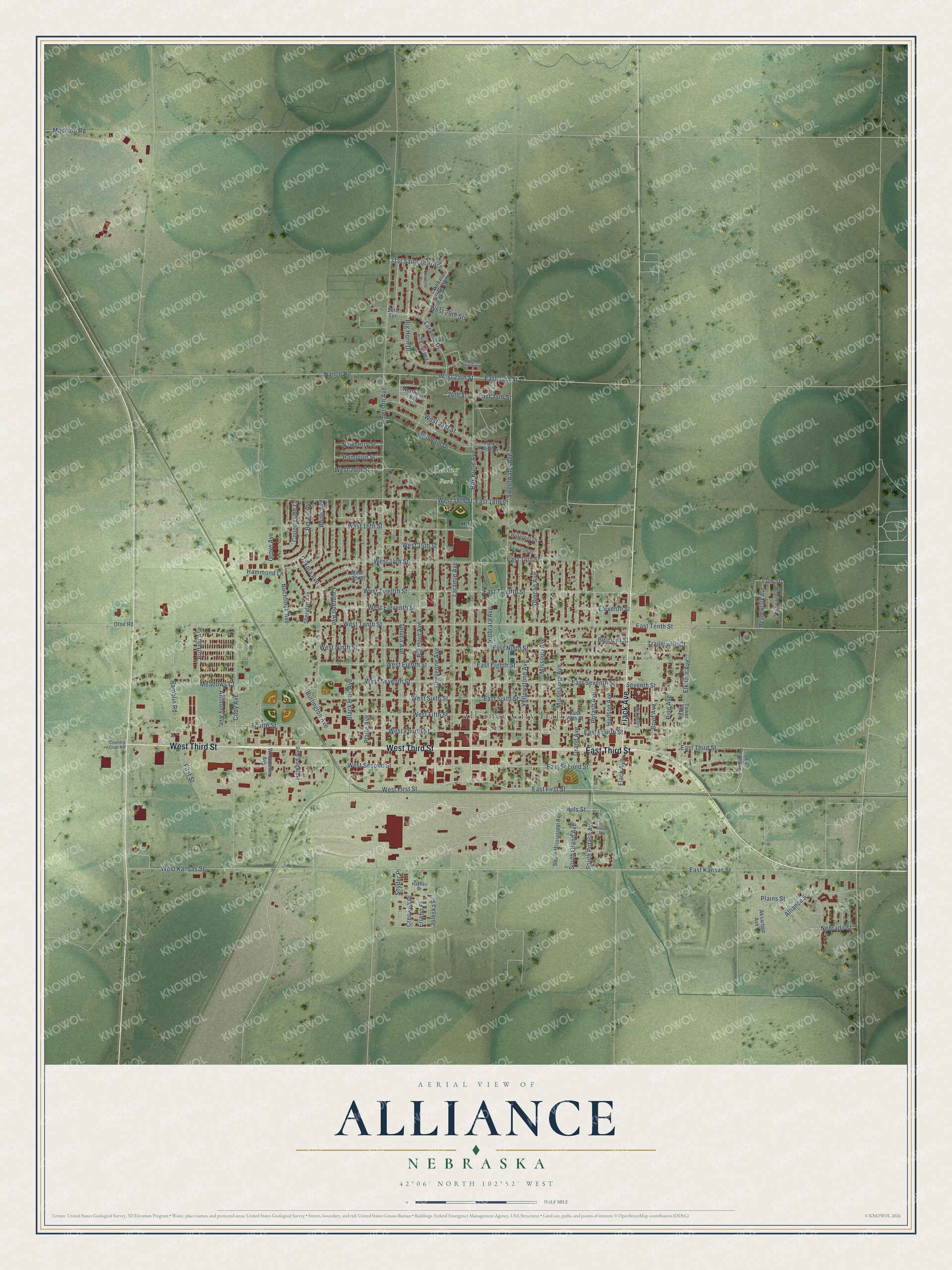
Street and place names on the Alliance, Nebraska map
These names are printed on the map of Alliance, Nebraska.
Places: Alliance City Hall and Laing Park.
Streets and roads: West Third Street, Flack Avenue, East Third Street, West First Street, East First Street, Hills Street, Box Butte Avenue, East Second Street, West Tenth Street, East Tenth Street, West Second Street, West Ninth Street.
More street names, A to Z
13th Street, 24th Street, 28th Terrace, 31st Saint Terrrace, Aksarben Avenue, Alliance Street, Anthony Avenue, Bel Air Avenue, Belmont Street, Big Horn Avenue, Big Horn Drive, Black Hills Avenue, Boise Avenue, Boyd Avenue, Buchfinck Avenue, Buffalo Avenue, Burlington Avenue, Burnham Drive, Cheyenne Avenue, Cheyenne Drive, Cheyenne Lane, Cody Avenue, Colorado Avenue, Country Club Road, Countryside Lane, Creswell Place, Dakota Avenue, Duncan Avenue, East 14th Street, East 15th Street, East 18th Street, East 24th Street, East 25th Street, East Eighth Street, East Fifth Street, East Fourth Street, East Kansas Street, East Ninth Street, East Seventh Street, East Sixth Street, East Twelfth Street, Eleventh Street, Elkhorn Avenue, Emerson Avenue, Errebo Place, First Street, Fourth Street, Grand Avenue, Grove Avenue, Hammond Lane, Hampton Street, Haynes Drive, Hillcrest Drive, Howard Avenue, Hudson Avenue, Iowa Street, Joleska Place, Lakefield Drive West, Lane 1 Street, Laramie Avenue, Laramie Drive, Madison Road, Meadowlark Avenue, Meadows Court, Mississippi Avenue, Missouri Avenue, Nance Road, Nebrado Street, Newberry Street, Niobrara Avenue, Northpark Est, Otoe Road, Park Knoll Drive, Pine Avenue, Plains Street, Platte Avenue, Potash Avenue, Ramblin Road, Robin Avenue, Seventh Street, Sheridan Avenue, Snyder Place, South Grand Avenue, South Mississippi Avenue, South Potash Avenue, Sunshine Avenue, Sweetwater Avenue, Toedtli Drive South, Toluca Avenue, Tower Plaza, Trailerville Court, West 13th Street, West 14th Street, West 15th Street, West 16th Street, West 18th Street, West 20th Street, West 21st Street, West 25th Street, West 29th Str, West Eighth Street, West Eleventh Street, West Fifth Street, West Fourth Street, West Kansas Street, West Seventh Street, West Sixth Street, West Twelfth Street, Willamette Avenue, Yellowstone Avenue.
See the Alliance, Nebraska map on a wall
The Alliance map as an 18 x 24 inch print in a black frame.

This beautifully detailed map of Alliance makes an attractive addition to your office, library, or den, and it can even be used to teach children the geography and history of the area. It also makes a great gift for anyone who grew up in Alliance or moved away. When you’re done exploring, click here to get your copy of the Alliance map.