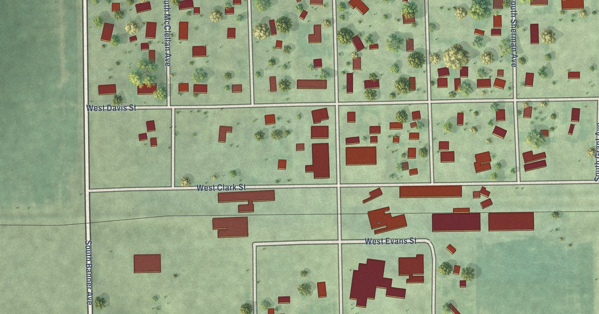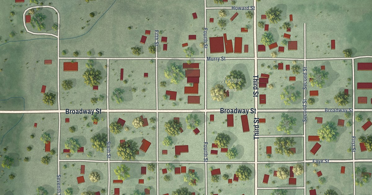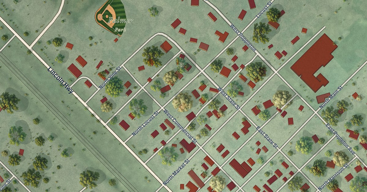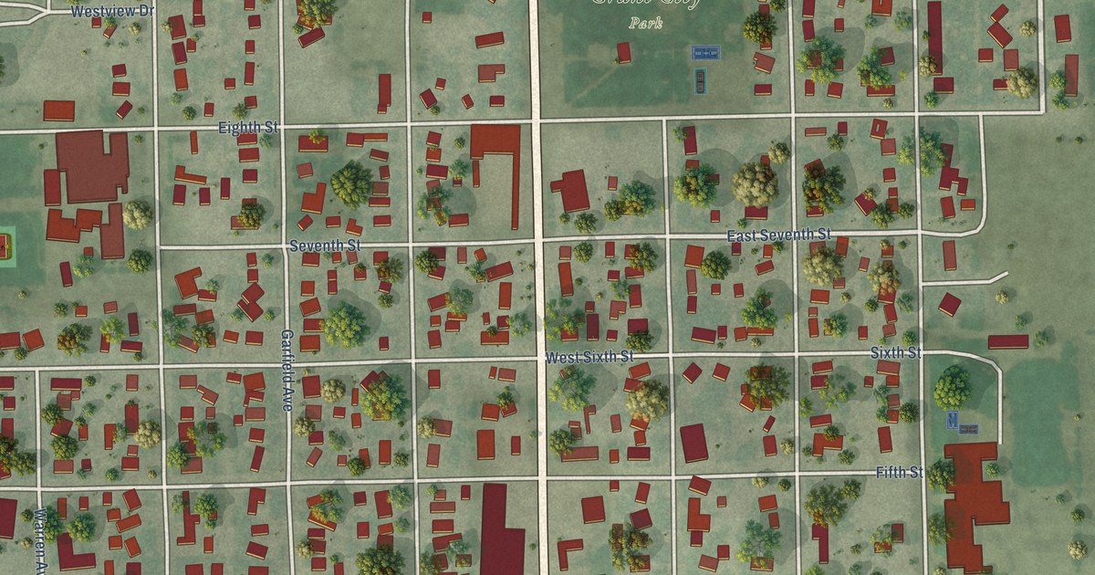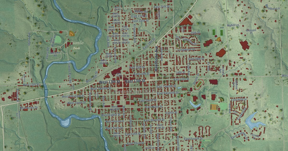
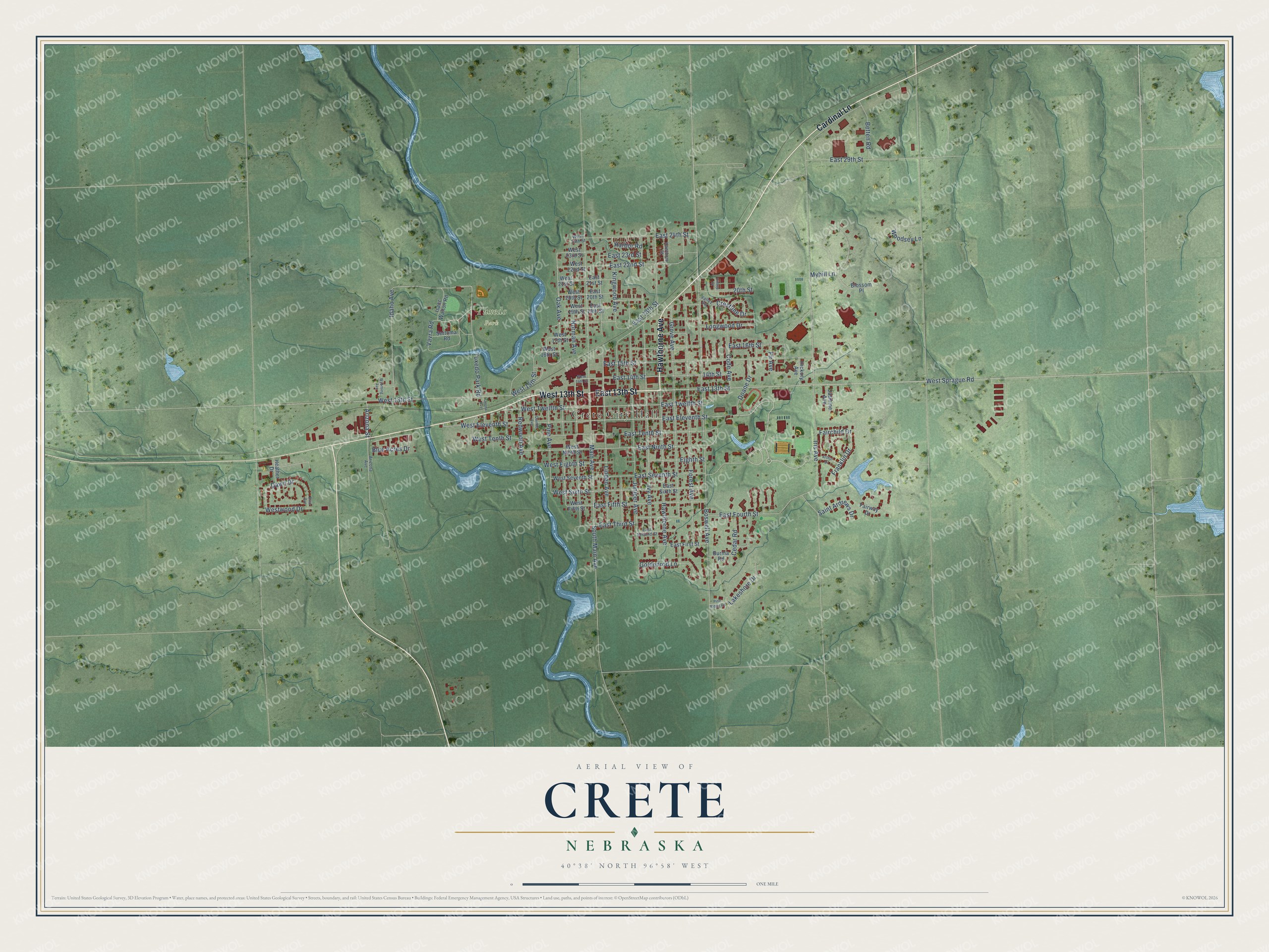
This beautifully detailed map of Crete, Nebraska was created in 2026 using aerial imagery combined with modern topographical, census, street and landmark data. It's a modern aerial view of Crete in Saline County, Nebraska, that combines modern data with a vintage aesthetic. The roads feature printed names, and if you look closely you can find your exact house accurately shown in its correct location.
Explore an aerial view of Crete, Nebraska
On this map you'll find Crete City Hall, Tuxedo Park, East 13th Street, Hawthorne Avenue, Cardinal Lane, West 13th Street, East Eleventh Street, West Sprague Road, West Twelfth Street, West 15th Street, Lakeshore Drive, East Twelfth Street, and more. Each red shape is a building, so zoom in on the preview and look for yours.
Every town has a first chapter, and Crete is no exception. The University of Nebraska Press puts it this way: "Mr. Bickle lived in a log house north of this plat and kept the post office, which he called Crete post office because he and his wife had come from Crete, Illinois."
Crete is a city in Saline County. The Census Bureau counted 7,099 people here in 2020.
Take a closer look at the Crete map
Names on this map
These names are printed on this map.
Places: Crete City Hall and Tuxedo Park.
Streets and roads: East 13th Street, Hawthorne Avenue, Cardinal Lane, West 13th Street, East Eleventh Street, West Sprague Road, West Twelfth Street, West 15th Street, Lakeshore Drive, East Twelfth Street, Oak Avenue, Pine Avenue.
More street names, A to Z
14th Street, 20th Street, Arizona Avenue, Arizona Street, Arthur Drive, Betten Road, Blossom Place, Blue Acres Drive, Boswell Avenue, Briar Avenue, Burma Road, Cedar Road, Code Avenue, Crestline Drive, Dawn Drive, Doane Drive, East 14th Street, East 15th Street, East 16th Street, East 18th Street, East 19th Street, East 20th Street, East 21st Street, East 22nd Street, East 23rd Street, East 24th Street, East 29th Street, East Fifth Street, East First Street, East Fourth Street, East Ninth Street, East Second Street, East Seventh Street, East Sixth Street, East Tenth Street, East Third Street, Eighth Street, Fairchild Drive, Fairway Drive, Fir Avenue, Forest Avenue, Franklin Drive, Goldenrod Lane, Grove Avenue, Harbor Road, Hawthorn Street, Heather Drive, Hickory Avenue, Hilltop Court, Idaho Avenue, Iris Avenue, Isacc Walton Road, Ivy Avenue, Jasmine Avenue, Juniper Avenue, Kingwood Avenue, Linden Avenue, Longwood Drive, Main Avenue, Myhill Lane, Norman Avenue, Pine Ridge Road, Quince Avenue, Redwood Avenue, Saint Ardrews Drive, Sertoma Road, South Main Avenue, Tuxedo Park Road, Unona Avenue, Valley Vw, Vavra Road, West 14th Street, West 16th Street, West 17th Street, West 19th Street, West 20th Street, West 21st Street, West 22nd Street, West 23rd Street, West 24th Street, West Eighth Street, West Eleventh Street, West Fifth Street, West Ninth Street, West Seventh Street, West Sixth Street, West Tenth Street, Westwood Drive, Woodsey Lane, Wyoming Avenue.
Created by KNOWOL in 2026. The buildings are small red shapes, the roads carry their printed names, and shaded relief shows the shape of the land. The title panel reads "AERIAL VIEW OF CRETE NEBRASKA" with 40°38' NORTH 96°58' WEST.
Hang it in the hallway, the office or the cabin, or give it to someone who left Crete and still calls it home. Open the preview and look for a street you know. See sizes and frames for the Crete map.