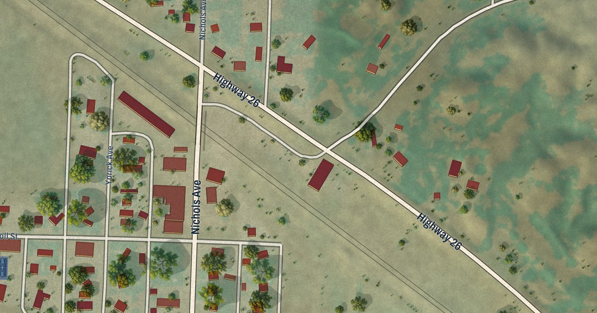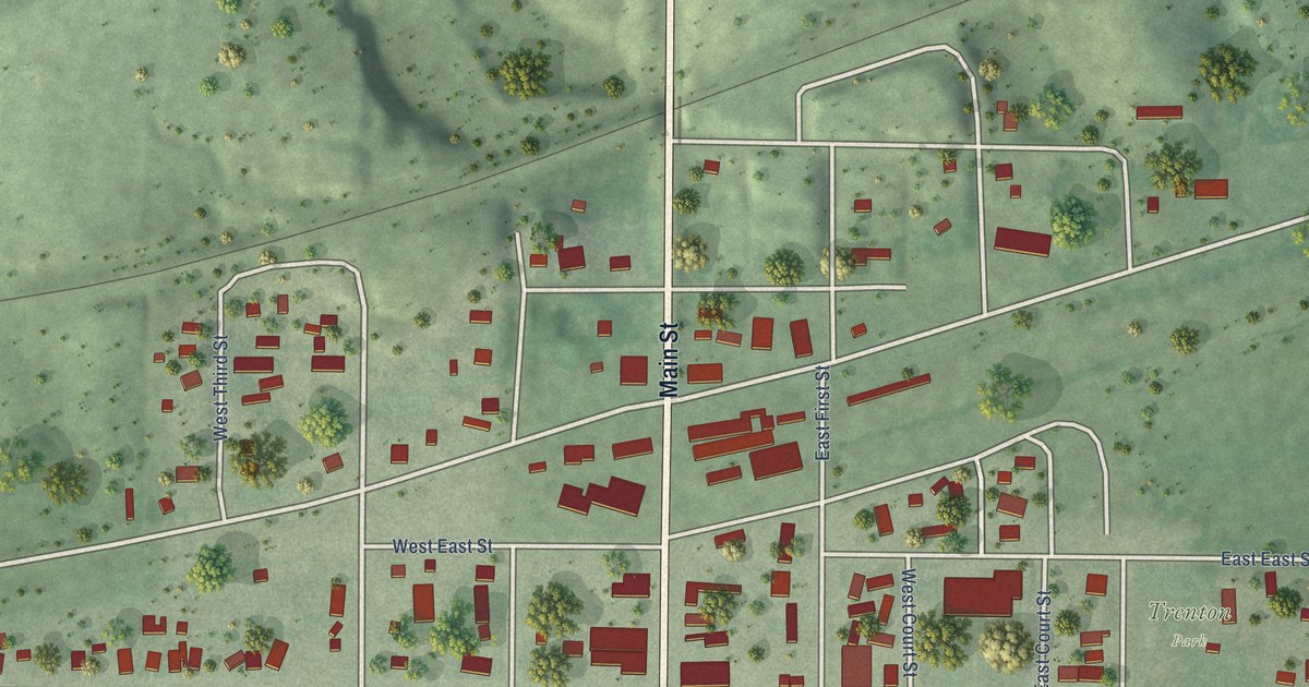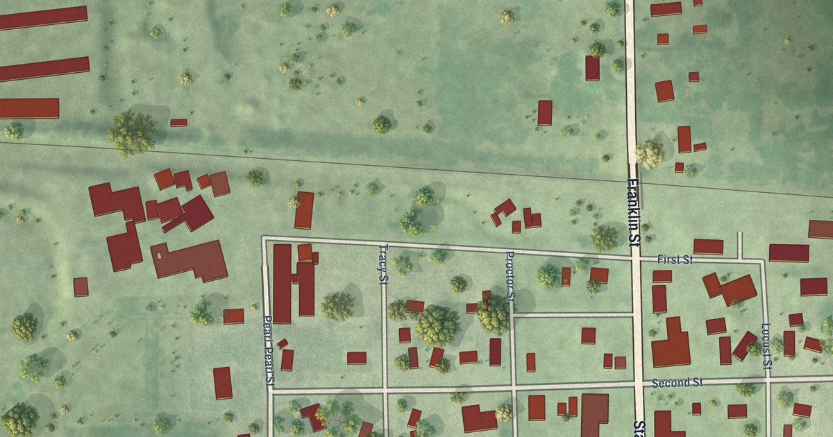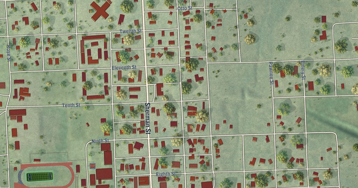
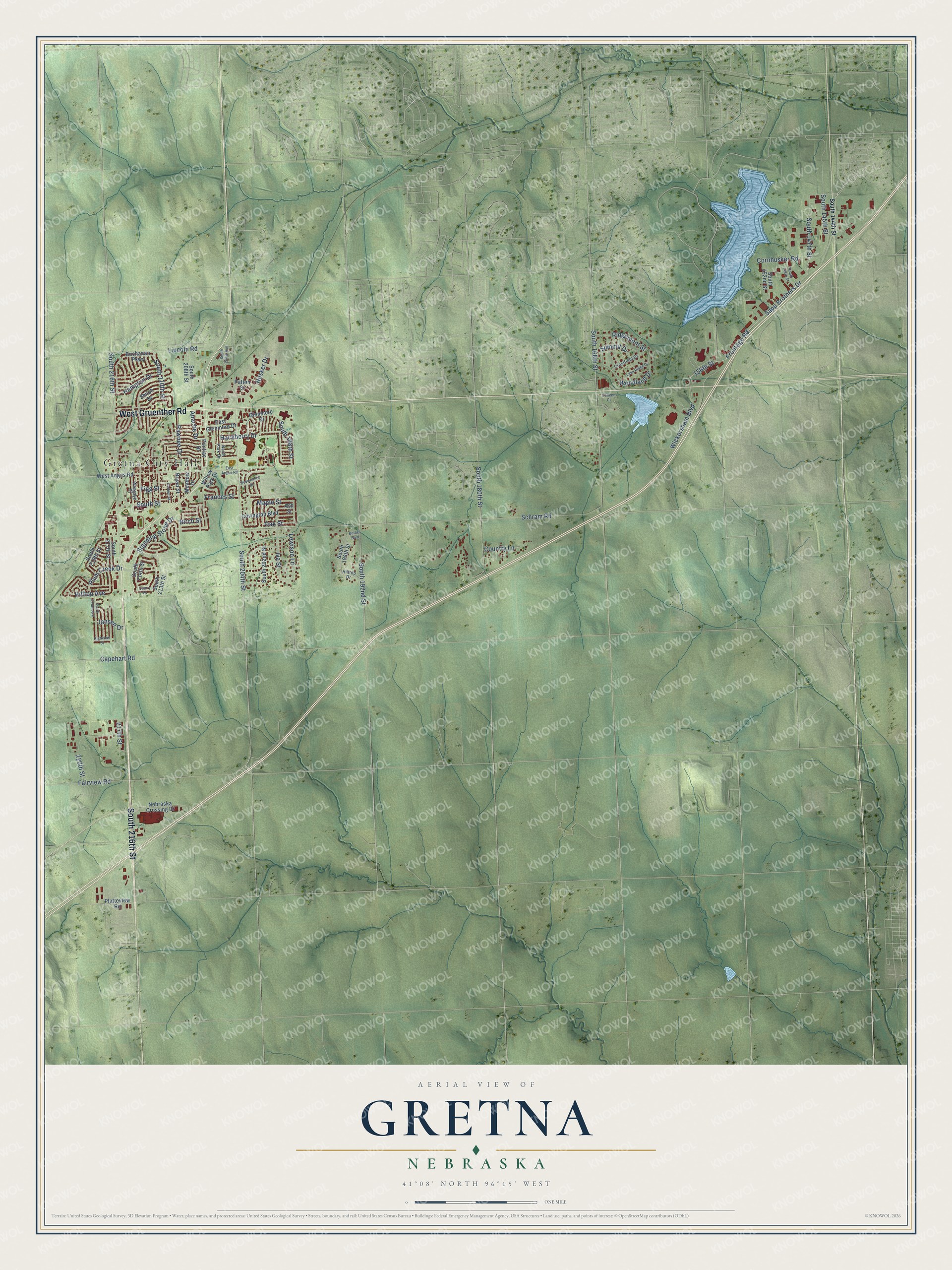
This beautifully detailed map of Gretna, Nebraska was created in 2026 using aerial imagery combined with modern topographical, census, street and landmark data. It's a modern aerial view of Gretna in Sarpy County, Nebraska, that combines modern data with a vintage aesthetic. The roads feature printed names, and if you look closely you can find your exact house accurately shown in its correct location.
Explore an aerial view of Gretna, Nebraska
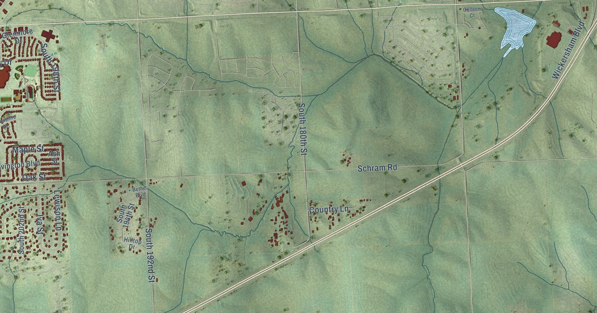
On this map you'll find Gretna City Hall, West Gruenther Road, South 216th Street, Hampton Drive, Sapp Brothers Drive, Iva Street, South 198th Street, Hilltop Avenue, Schram Road, South 204th Street, South 168th Street, Frontage Road, and more. Each red shape is a building, so zoom in on the preview and look for yours.
Gretna has a story worth telling. The Nebraska Our Towns puts it this way: "The first school was located across the road from the LaBorde Cemetery just outside town. Between 1887-89, this one-room building was moved to a lot in Gretna."
Gretna is a city in Sarpy County. The Census Bureau counted 5,083 people here in 2020.
Take a closer look at the Gretna map
Names on this map
These names are printed on this map.
Places: Gretna City Hall.
Streets and roads: West Gruenther Road, South 216th Street, Hampton Drive, Sapp Brothers Drive, Iva Street, South 198th Street, Hilltop Avenue, Schram Road, South 204th Street, South 168th Street, Frontage Road, South 180th Street.
More street names, A to Z
156th Street, 217th Street, 220th Street, Apache Drive, Ash Street, Bethel Boulevard, Birch Street, Bryan Street, Buchanan Parkway, Capehart Road, Colleen Court, Connor Street, Cornhusker Road, Country Lane, Covington Boulevard, Crestfield Drive, Devonshire Drive, East Angus Road, East Glenmore Drive, Fairview Road, Figg Street, Frances Street, Glenmore Drive, Hackberry Drive, Highview Street, Hilltop Drive, Husker Drive, Jansen Drive, Lake Ridge Drive, Lewison Lane, Lincoln Road, Maple Street, Meadow Drive, Nebraska Crossing Drive, North Park Drive, Oak Street, Patton Street, Pawnee Drive, Platteview Road, Plum Creek Drive, Pontiac Drive, Quarry Lane, Ridgemont Street, Shiloh Drive, South 144th Street, South 145th Street, South 147th Street, South 148th Street, South 152nd Street, South 192nd Street, South 194th Street, South 202nd Street, South 204th Avenue, South 208th Street, South 210th Street, South 213th Street, South 214th Street, South 217th Street, South 218th Avenue, South 219th Street, South Street, Standing Stone Drive, Summit Drive, Wesgaye Street, West Angus Road, Wickersham Boulevard, Willow Park Drive, Woodland Drive.
Created by KNOWOL in 2026. The buildings are small red shapes, the roads carry their printed names, and shaded relief shows the shape of the land. The title panel reads "AERIAL VIEW OF GRETNA NEBRASKA" with 41°08' NORTH 96°15' WEST.
It looks right in a kitchen, an office or a den, and it's a gift for anyone who grew up in Gretna or moved away. Open the preview and find your street. See sizes and frames for the Gretna map.