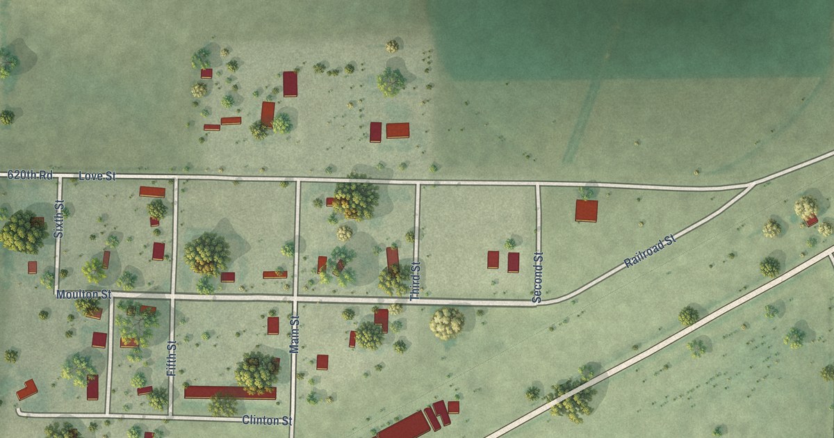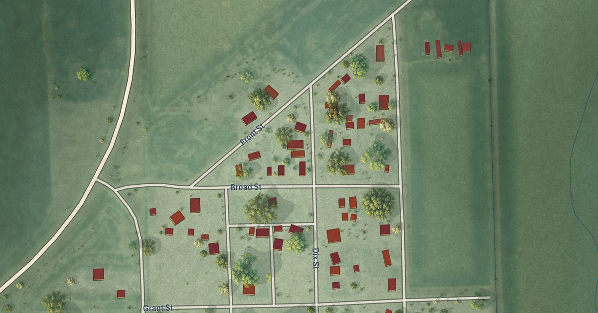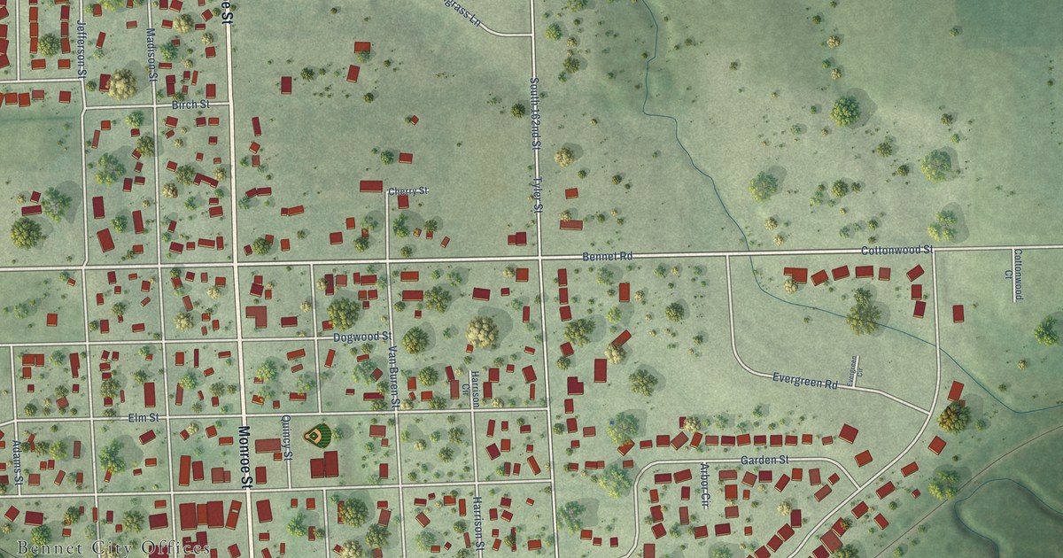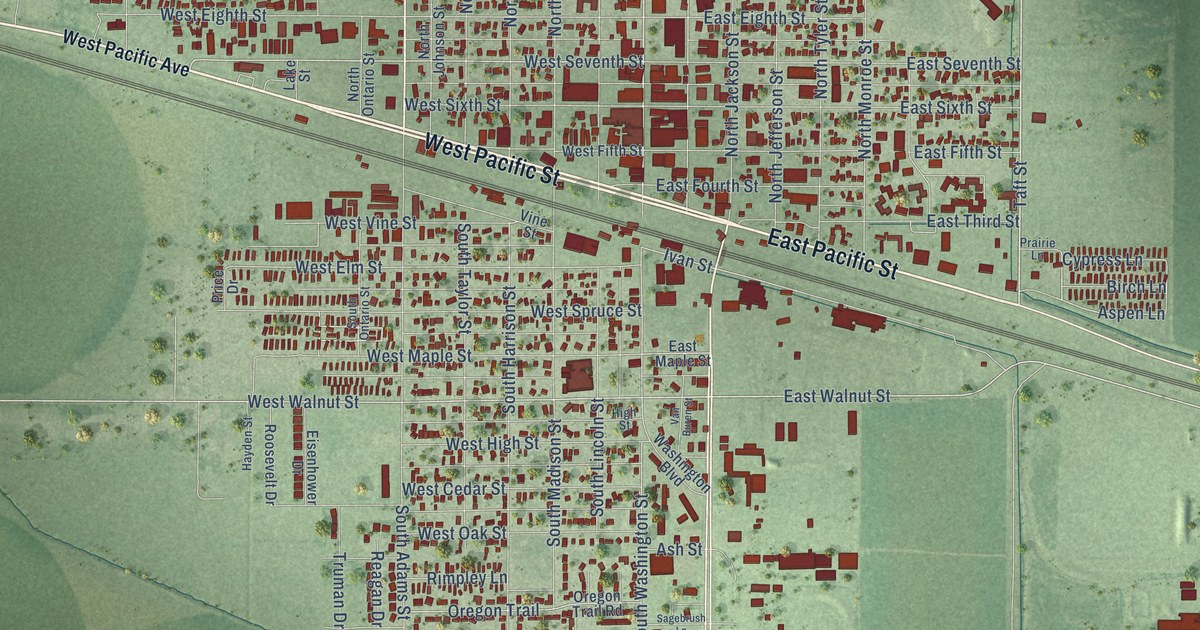
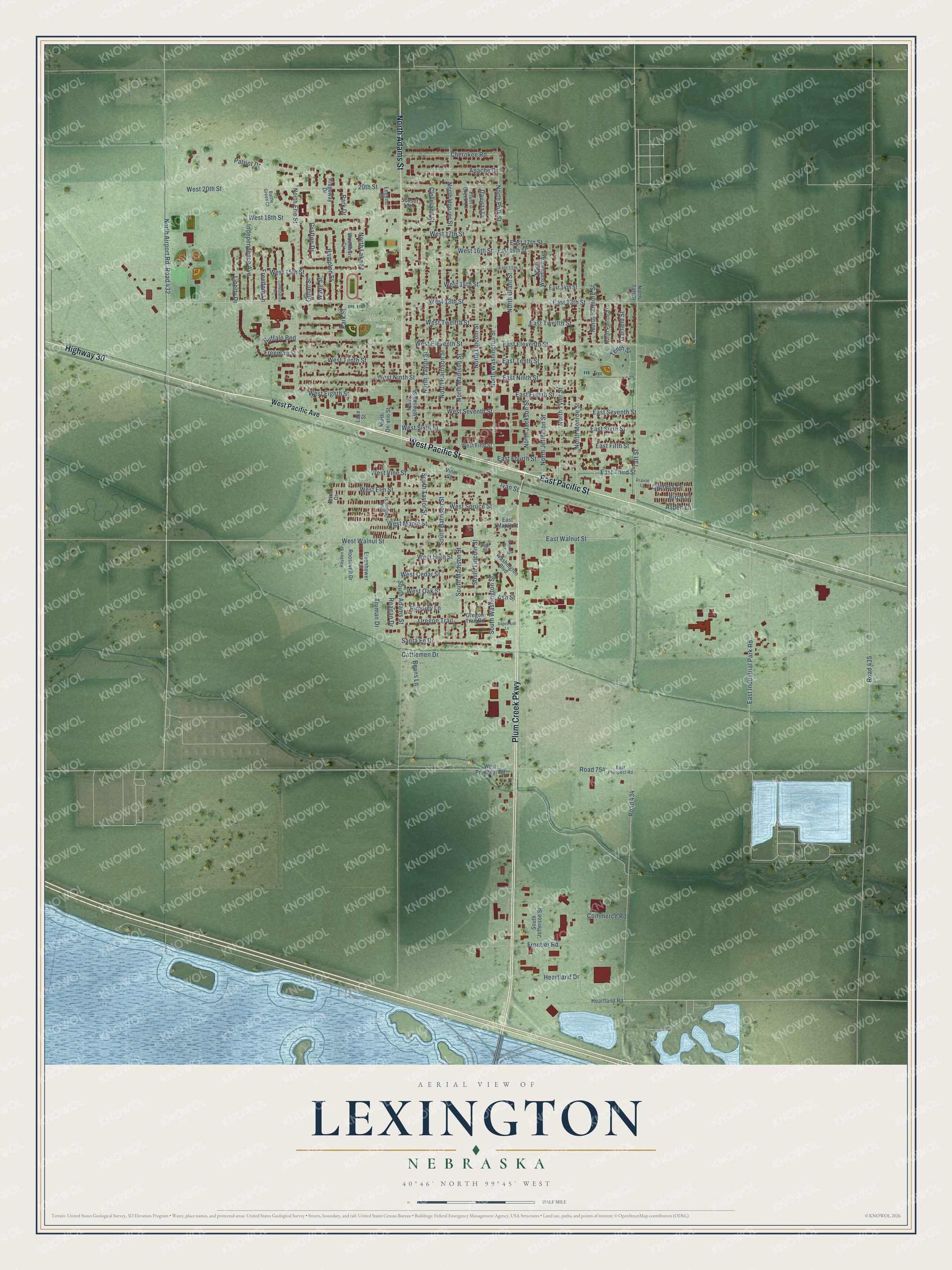
This beautifully detailed map of Lexington, Nebraska was created in 2026 using aerial imagery combined with modern topographical, census, street and landmark data. It's a modern aerial view of Lexington in Dawson County, Nebraska, that combines modern data with a vintage aesthetic. The roads feature printed names, and if you look closely you can find your exact house accurately shown in its correct location.
Explore an aerial view of Lexington, Nebraska
On this map you'll find Plum Creek Park, West Pacific Street, East Pacific Street, Plum Creek Parkway, North Adams Street, Highway 30, Taft Street, North Grant Street, North Washington Street, East Walnut Street, West Walnut Street, West Seventh Street, and more. Each red shape is a building, so zoom in on the preview and look for yours.
Every town has a first chapter, and Lexington is no exception. The University of Nebraska puts it this way: "The town was organized in 1878 as Plum Creek and was situated on the south side of the Platte river on the overland trail. In 1886 the city was incorporated and in 1889, at a meeting of the citizens, the name was changed from Plum Creek to Lexington in commemoration of the battle of Lexington of the War of the Revolution."
Lexington is a city in Dawson County. The Census Bureau counted 10,348 people here in 2020.
Take a closer look at the Lexington map
Names on this map
These names are printed on this map.
Places: Plum Creek Park.
Streets and roads: West Pacific Street, East Pacific Street, Plum Creek Parkway, North Adams Street, Highway 30, Taft Street, North Grant Street, North Washington Street, East Walnut Street, West Walnut Street, West Seventh Street, East 13th Street.
More street names, A to Z
20th Street, Apache Drive, Ash Street, Aspen Lane, Battle Green Court, Beans Lane, Birch Lane, Buffalo Bnd, Cattlemen Drive, Cherokee Road, Cleveland Street, Commerce Road, Constitution Drive, Cypress Lane, Davista Lane, East 14th Street, East 15th Street, East 16th Street, East 17th Street, East Eighth Street, East Eleventh Street, East Fifth Street, East Fourth Street, East Industrial Park Road, East Maple Street, East Ninth Street, East Prospect Road, East Seventh Street, East Sixth Street, East Tenth Street, East Third Street, East Twelfth Street, Eisenhower Drive, Freedom Lane, Freeman Street, Frontier Road, Garfield Street, Gillan Street, Grafton Drive, Hampton Street, Hayden Street, Heartland Drive, Heartland Road, High Street, Independence Avenue, Ivan Street, Lake Street, Legend Drive, Liberty Drive, North Airport Road, North Erie Street, North Fillmore Street, North Harrison Street, North Hoover Street, North Jackson Street, North Jefferson Street, North Johnson Street, North Lake Street, North Lincoln Street, North Madison Street, North Monroe Street, North Ontario Street, North Pierce Street, North Polk Street, North Taft Street, North Taylor Street, North Tyler Street, North Woodlawn Avenue, Oregon Trail, Oregon Trail Road, Park Drive, Park Street, Patriot Drive, Plum Creek Lane, Prairie Lane, Price Drive, Reagan Drive, Ridgeway Drive, Rimpley Lane, Road 432, Road 434, Road 435, Road 754, Roosevelt Drive, Sagebrush Lane, Santa Fe Drive, South Adams Street, South Harrison Street, South Jefferson Street, South Lincoln Street, South Madison Street, South Ontario Street, South Taylor Street, South Washington Street, Sunset Drive, Tenth Street, Truman Drive, Van Buren Street, Vine Street, Wade Street, Washington Boulevard, West 13th Street, West 14th Street, West 15th Street, West 16th Street, West 17th Street, West 18th Street, West 20th Street, West Cedar Street, West Eighth Street, West Eleventh Street, West Elm Street, West Fifth Street, West High Street, West Maple Street, West Ninth Street, West Oak Street, West Pacific Avenue, West Prospect Road, West Sixth Street, West Spruce Street, West Tenth Street, West Twelfth Street, West Vine Street, Woodward Circle.
Created by KNOWOL in 2026. The buildings are small red shapes, the roads carry their printed names, and shaded relief shows the shape of the land. The title panel reads "AERIAL VIEW OF LEXINGTON NEBRASKA" with 40°46' NORTH 99°45' WEST.
Hang it in the hallway, the office or the cabin, or give it to someone who left Lexington and still calls it home. Open the preview and look for a street you know. See sizes and frames for the Lexington map.