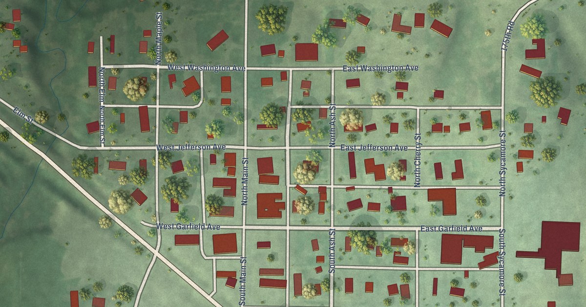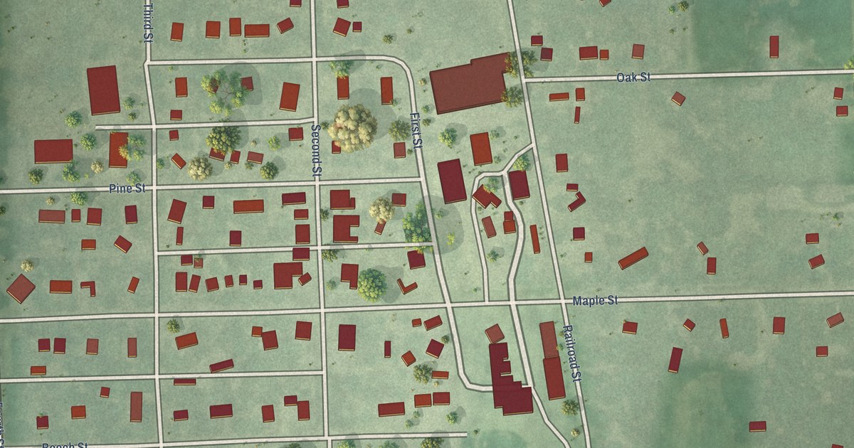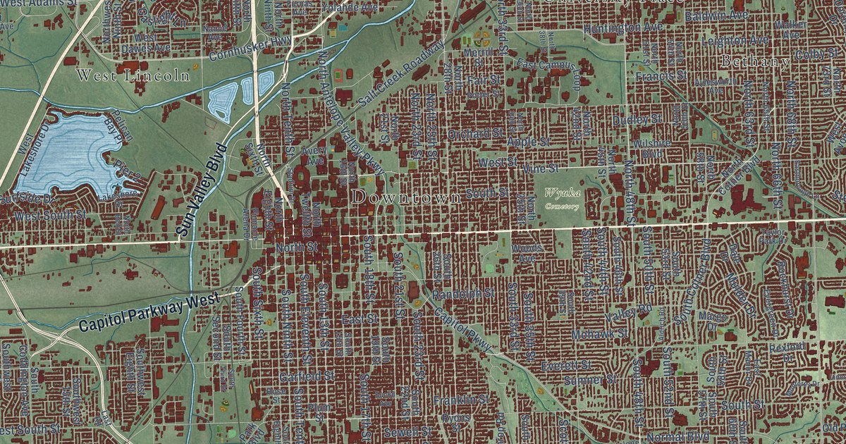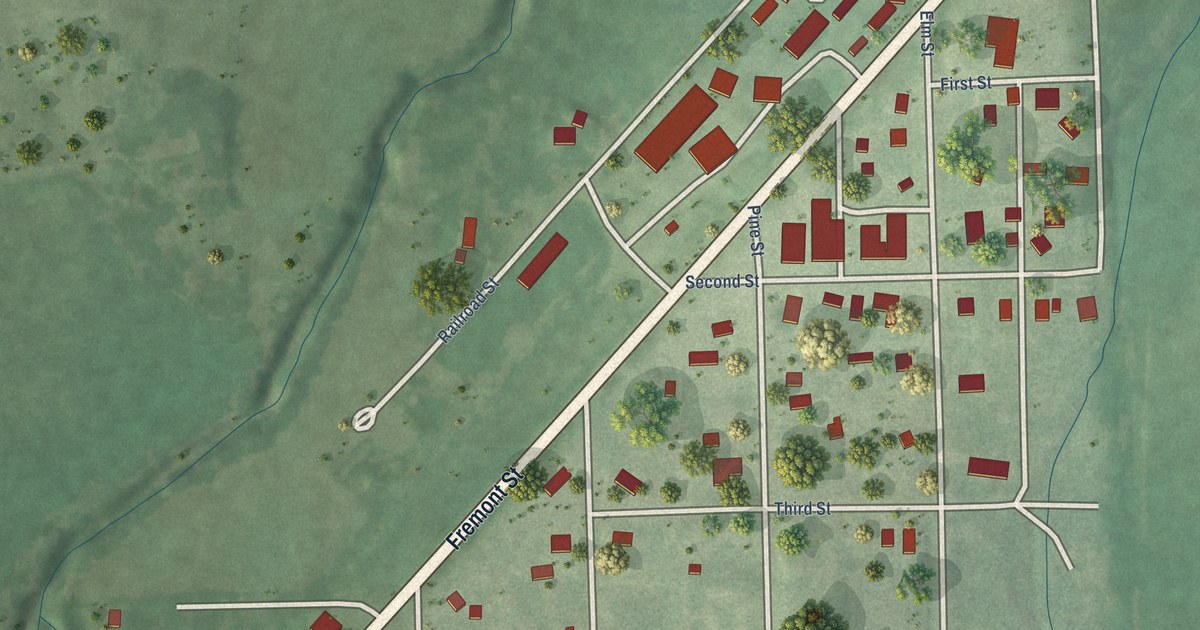
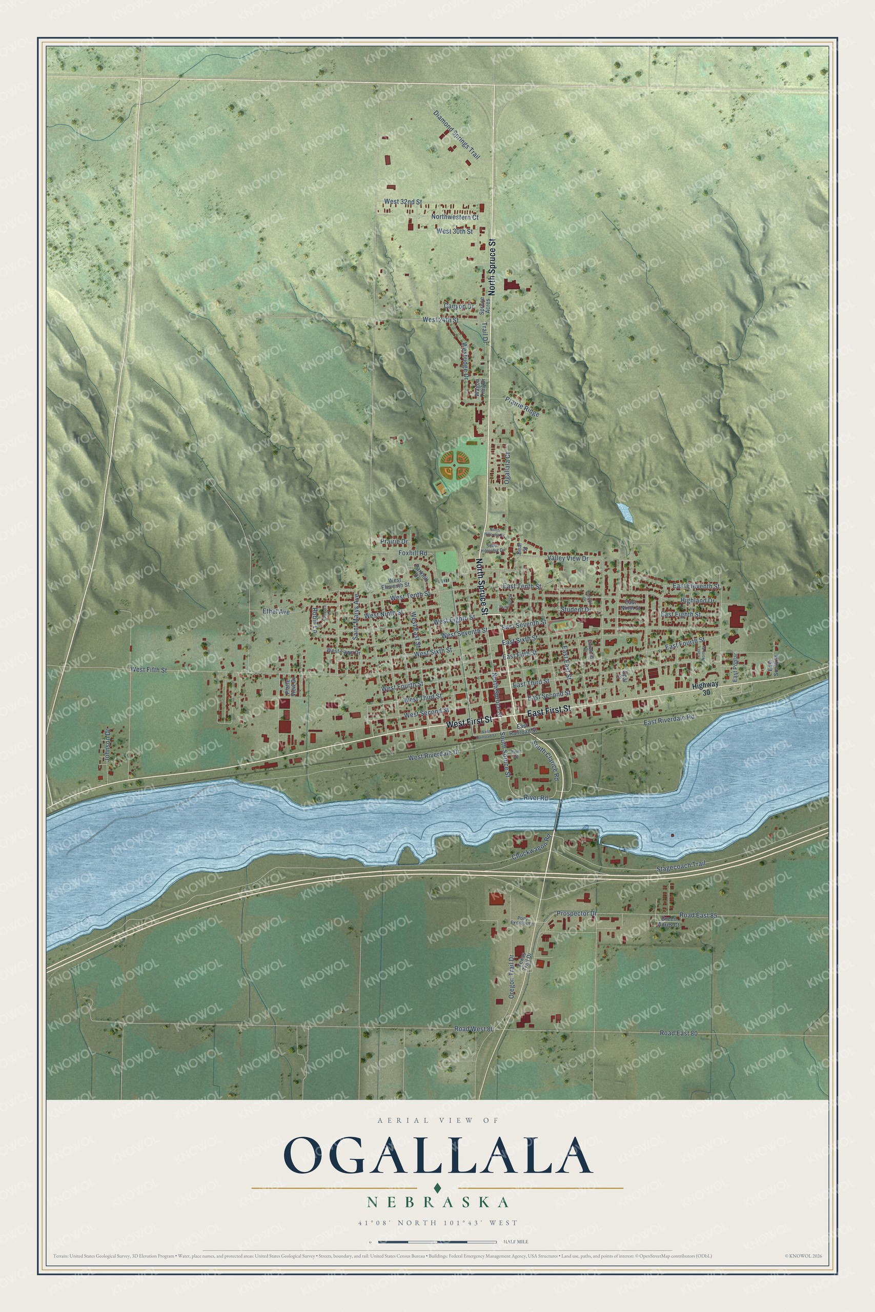
This beautifully detailed map of Ogallala, Nebraska was created in 2026 using aerial imagery combined with modern topographical, census, street and landmark data. It’s a one-of-a-kind view of Ogallala that combines accurate data with a vintage aesthetic. The map shows every building in its true location, many of the roads carry their names, and the shaded topographic relief shows the shape of the land.
Explore an aerial view of Ogallala, Nebraska
On the map you’ll find North Spruce Street, West First Street, East First Street, South Spruce Street, River Road, West Third Street, Ogallala Court, East Tenth Street, East Third Street, Chuckwagon Road, Stagecoach Trail, Prospector Drive, and more. If you look closely you can even find your house accurately drawn in its correct location. Zoom in on the preview to look for yours.
Did you know this piece of Ogallala, Nebraska history?
From the Historical Marker Database: "Boot Hill was the final resting place for many early westerners who helped make Ogallala a booming cowtown in the 1870's and 1880's. These people, the cowboys, settlers, and drifters, came to Ogallala when the railroad and the Texas Trail opened a new market for the Texas Longhorn."
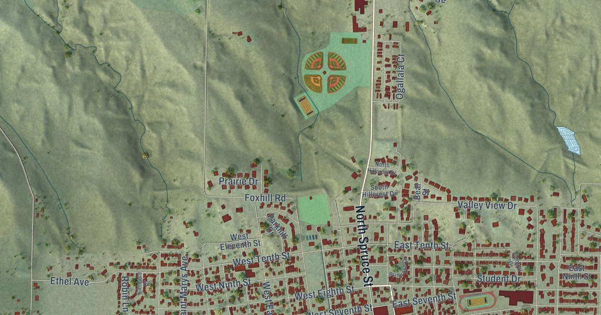
Take a closer look at the Ogallala map
Street names on the Ogallala, Nebraska map
These names are printed on the map of Ogallala, Nebraska.
Streets and roads: North Spruce Street, West First Street, East First Street, South Spruce Street, River Road, West Third Street, Ogallala Court, East Tenth Street, East Third Street, Chuckwagon Road, Stagecoach Trail, Prospector Drive.
More street names, A to Z
Beal Street, Candace Drive, Canyon Drive, Central Drive, Diamond Springs Trail, East East Street, East Eighth Street, East Eleventh Street, East Fifth Street, East Fourth Street, East Ninth Street, East North Street, East Poplar, East Railroad Street, East Riverdale Road, East Second Street, East Seventh Street, East Sixth Street, East South Street, Elmwood Drive, Ethel Avenue, Foxhill Road, Green Acres Court, Highland Drive, Highway 30, Johnson Drive, North Hillcrest Drive, Northwestern Court, Opal Street, Oregon Trail Drive, Parkhill Drive, Platte View Drive, Pony Express Lane, Prairie Drive, Prairie Ridge, Primrose Drive, River Street, Road East 80, Road East 85, Road West 80, Robin Lane, Saint Marys Avenue, South Clarice Road, South Hillcrest Drive, Spruce Acres, Student Drive, Texas Trail Drive, Trail Drive, Valley View Drive, Wagon Trail Drive, West 24th Street, West 30th Street, West 32nd Street, West East Street, West Eighth Street, West Eleventh Street, West Fifth Street, West Fourth Street, West Lawn Drive, West Ninth Street, West Railroad Street, Westridge Drive, West Riverdale Drive, West Second Street, West Seventh Street, West Sixth Street, West Tenth Street.
See the Ogallala, Nebraska map on a wall
The Ogallala map as an 18 x 24 inch print in a black frame.

This beautifully detailed map of Ogallala makes an attractive addition to your office, library, or den, and it can even be used to teach children the geography and history of the area. It also makes a great gift for anyone with Ogallala roots. When you’re done exploring, click here to get your copy of the Ogallala map.