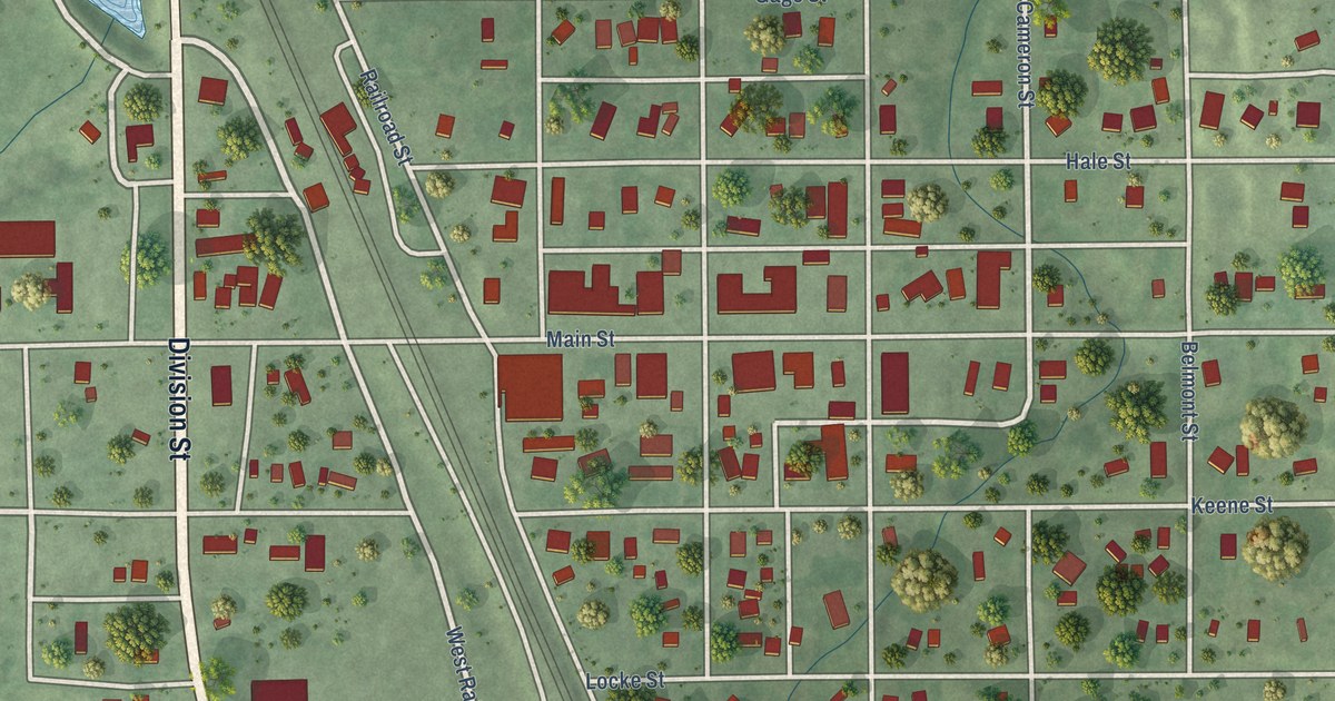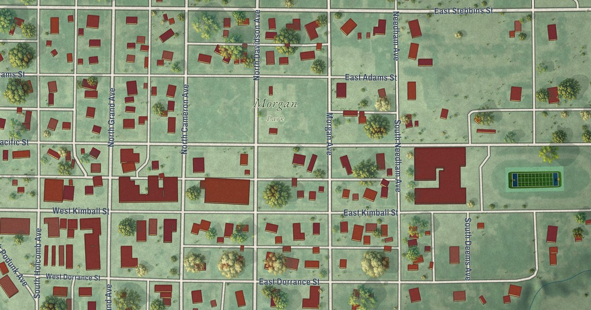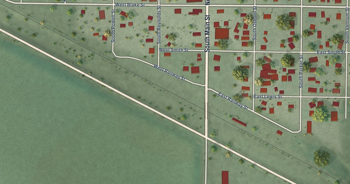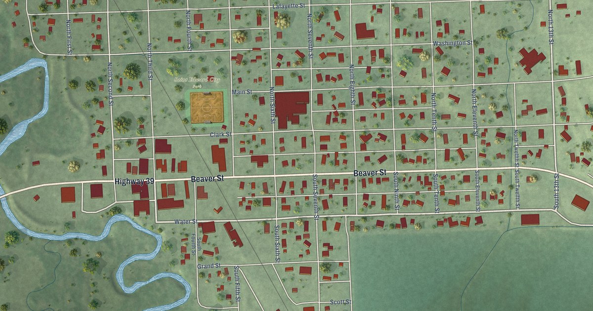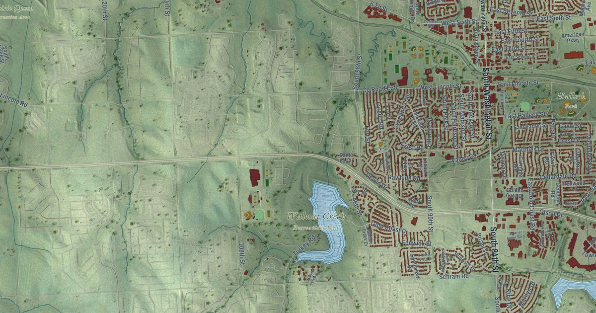
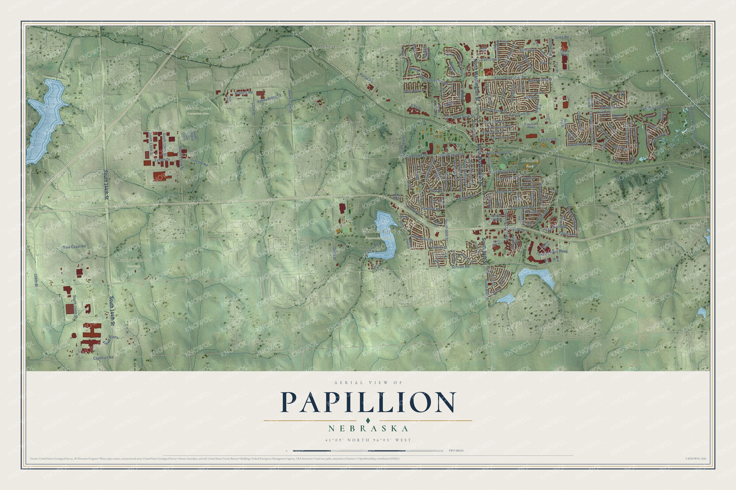
This beautifully detailed map of Papillion, Nebraska was created in 2026 using aerial imagery combined with modern topographical, census, street and landmark data. It's a modern aerial view of Papillion in Sarpy County, Nebraska, that combines modern data with a vintage aesthetic. The roads feature printed names, and if you look closely you can find your exact house accurately shown in its correct location.
Explore an aerial view of Papillion, Nebraska
On this map you'll find Halleck Park, Omaha National Cemetery, Prairie Queen Recreation Area, Walnut Creek Recreation Area, Portal, North Washington Street, South Washington Street, South 144th Street, South 84th Street, Gold Coast Road, Portal Road, East Sixth Street, and more. Each red shape is a building, so zoom in on the preview and look for yours.
Every town has a first chapter, and Papillion is no exception. The Internet Archive puts it this way: "Papillion. This town was named after Papillion creek which
flows through the town. The name Papillion (papillon) is taken
from the French language and means butterfly. According to local
radition the early French explorers named the creek Papillion be-
ause many butterflies were found along its banks. The town was
incorporated by an act of the legislature approved February 18,
1857. It is the county seat of Sarpy county."
Papillion is a city in Sarpy County. The Census Bureau counted 24,159 people here in 2020.
Take a closer look at the Papillion map
Names on this map
These names are printed on this map.
Places: Halleck Park, Omaha National Cemetery, Prairie Queen Recreation Area, Walnut Creek Recreation Area and Portal.
Streets and roads: North Washington Street, South Washington Street, South 144th Street, South 84th Street, Gold Coast Road, Portal Road, East Sixth Street, East Gold Coast Road, West Sixth Street, 6 Th Street, Gold Coast Drive, South 96th Street.
More street names, A to Z
48th Street, 66th Street, 71st Place, 73rd Street, 96th Street, 108th Street, 120th Street, 156th Street, Aberdeen Drive, Allison Avenue, American Parkway, Applewood Drive, Arlene Avenue, Bailey Drive, Barrington Parkway, Bear Creek Road, Beechwood Avenue, Bellevue Berry Farm, Betsy Avenue, Bristol Street, Capehart Road, Carriage Road, Castle Pine Drive, Cedardale Road, Cemetery Road, Chisholm Trail, Coach Road, Cork Drive, Corn Drive, Cornhusker Road, Corral Street, County Road E26, County Road E28, County Road G13, Creighton Road, Crest Drive, Crest Ridge Drive, Crest Road, Dana Lane, Deer Run Lane, Delmar Drive, Devon Drive, Donegal Drive, Eagle Crest Drive, Eagle Hills Drive, Eagle Ridge Drive, East Cary Street, East Centennial Road, East Fifth Street, East First Street, East Fourth Street, East Halleck Street, East Lincoln Street, East Patton Street, East Second Street, East Seventh Street, East Third Street, Edgewood Boulevard, Elk Ridge Drive, Fall Creek Road, Fenwick Street, Fillmore Street, Fort Street, Franklin Drive, Friend Plaza, Frontier Drive, Gayle Street, Giles Road, Golden Gate Drive, Grandview Avenue, Greenwood Avenue, Greyson Drive, Hickory Hill Road, Hogan Drive, Iron Road, Jana Circle, Janes View Street, Jersey Street, Joseph Drive, Joy Street, Juniper Drive, King Drive, Kyla, Lafayette Drive, Lake Vista Drive, Lambert Drive, Laredo Road, Leigh Lane, Limerick Road, Lincoln Road, Locust Avenue, Longwood Drive, Lynam Drive, Magnolia Avenue, Mallard View Circle, Marilyn Drive, Matthies Drive, Michael Drive, Michelle Parkway, Morris Miller Boulevard, North Adams Street, North Beadle Street, North Fillmore Street, North Frontier Drive, North Madison Street, North Polk Street, Northwood Circle, Norton Drive, Oakmont Lane, Oakwood Drive, Olson Drive, Overland Trail, Papillion Drive, Parc Drive, Patricia Drive, Peters Parkway, Pinnacle Drive, Queen Drive, Rawhide Road, Redwood Lane, Reeve Drive, Roberts Road, Rogers Drive, Roland Drive, Royal Drive, Sally Street, Sante Fe Circle, Savannah Drive, Schram Road, Scott Road, Sea Pines Drive, Shadow Lake Drive, Shawnee Road, Skyhawk Avenue, South 66th Street, South 71st Street, South 72nd Street, South 75th Street, South 90th Street, South 114th Street, South 124th Street, South 130th Street, South 131st Street, South 132nd Street, South 134th Street, South 136th Street, South 150th Street, South Harrison Street, South Jackson Street, South Madison Street, South Monroe Street, South Polk Street, Southview Drive, Tara Road, Taylor Street, Timber Drive, Towne Center Parkway, Turkey Road, Valley Ridge Drive, Valley Road, Walnut Creek Drive, Washington Street, West Centennial Road, Western Hills Drive, West Lincoln Street, Wicklow Road, Wilshire Lane, Windcrest Avenue, Windsor Drive.
Created by KNOWOL in 2026. The buildings are small red shapes, the roads carry their printed names, and shaded relief shows the shape of the land. The title panel reads "AERIAL VIEW OF PAPILLION NEBRASKA" with 41°09' NORTH 96°03' WEST.
Hang it in the hallway, the office or the cabin, or give it to someone who left Papillion and still calls it home. Open the preview and look for a street you know. See sizes and frames for the Papillion map.