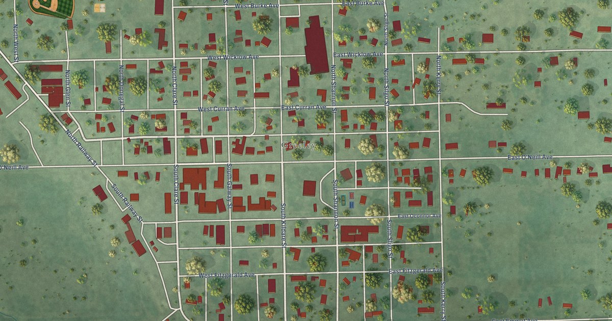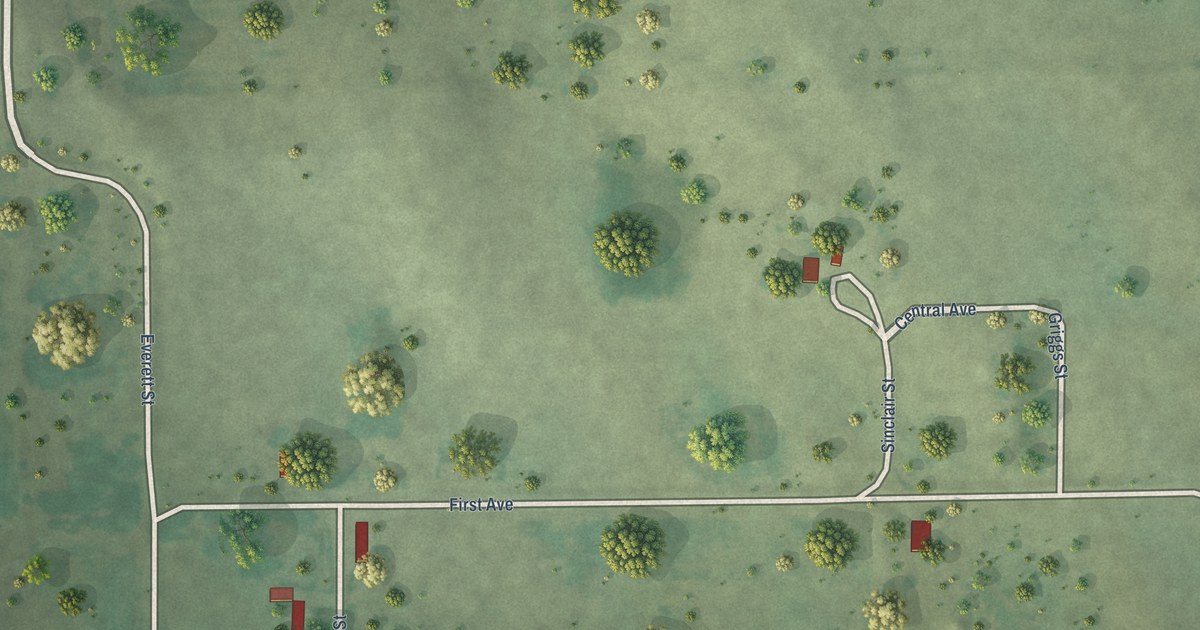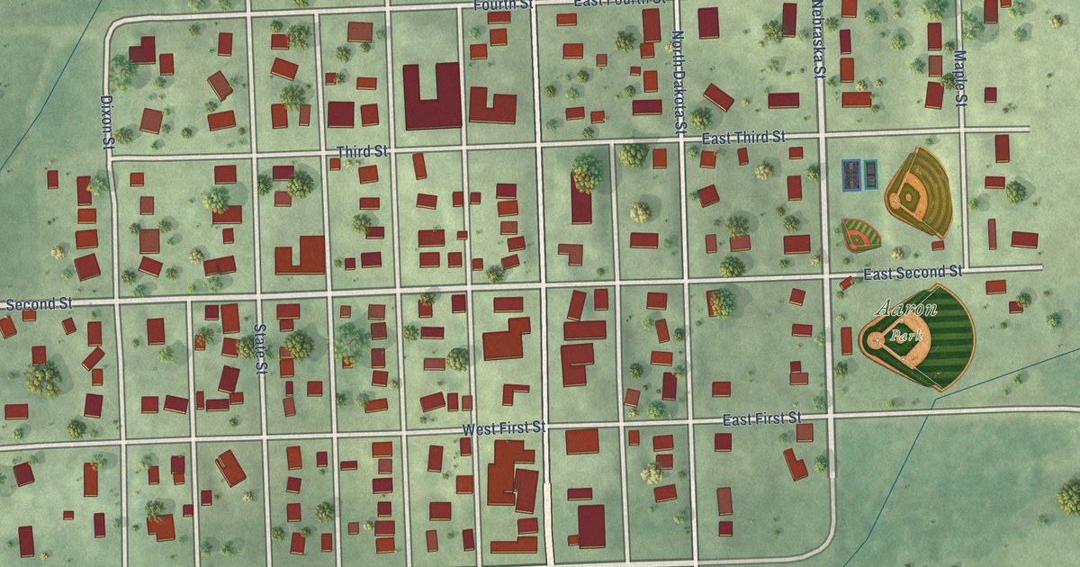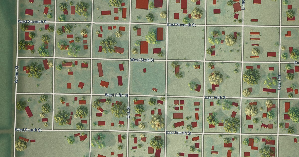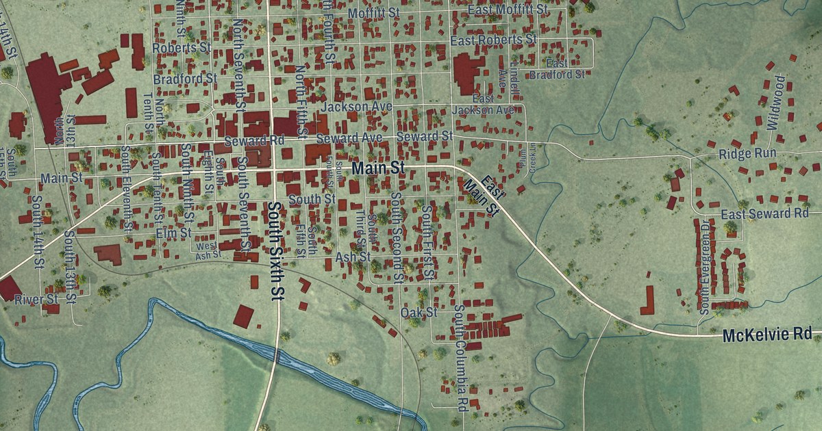
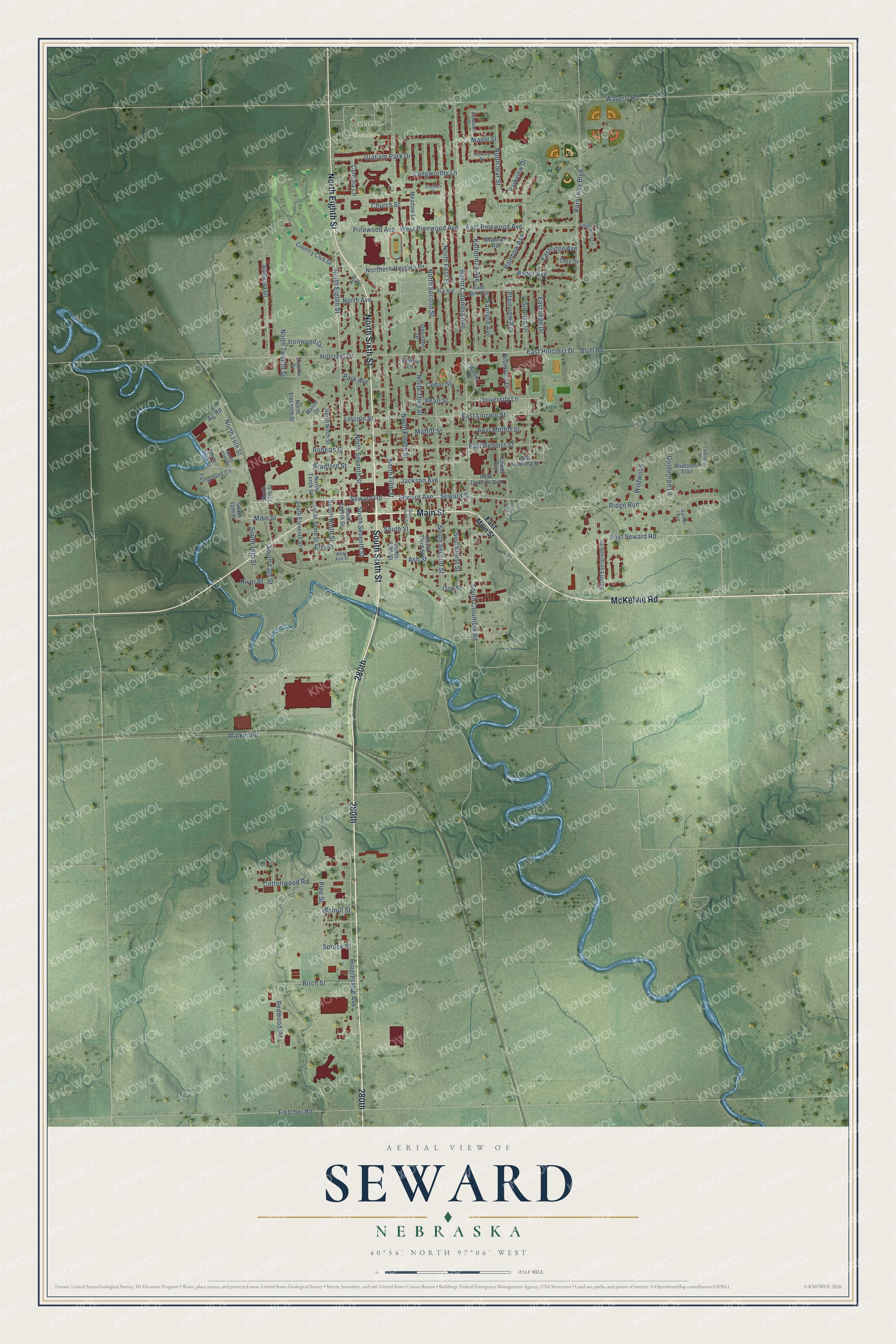
This beautifully detailed map of Seward, Nebraska was created in 2026 using aerial imagery combined with modern topographical, census, street and landmark data. It's a modern aerial view of Seward in Seward County, Nebraska, that combines modern data with a vintage aesthetic. The roads feature printed names, and if you look closely you can find your exact house accurately shown in its correct location.
Explore an aerial view of Seward, Nebraska
On this map you'll find Seward Cemetery, 280th, McKelvie Road, Main Street, South Sixth Street, North Eighth Street, North Sixth Street, Seward Avenue, Seward Street, Seward Road, Jackson Avenue, North Second Street, and more. Each red shape is a building, so zoom in on the preview and look for yours.
Here is a piece of Seward history, in the words of the record. The Internet Archive puts it this way: "Seward. The town of Seward was named after Seward county
of which it is the county seat."
Seward is a city in Seward County. The Census Bureau counted 7,643 people here in 2020.
Take a closer look at the Seward map
Names on this map
These names are printed on this map.
Places: Seward Cemetery.
Streets and roads: 280th, McKelvie Road, Main Street, South Sixth Street, North Eighth Street, North Sixth Street, Seward Avenue, Seward Street, Seward Road, Jackson Avenue, North Second Street, East Seward Road.
More street names, A to Z
Ag Road, Ash Street, Augusta Drive, Bader Avenue, Bek Avenue, Birch Street, Bluestem Trail, Bluff Road, Bradford Street, Brommer Drive, Cedar Street, Cherry Lane, Church Street, Circle Drive, Cory Drive, Cottonwood Road, Country Club Drive, Cynthia Lane, Davisson Drive, East Bek Avenue, East Bradford Street, East Hillcrest Drive, East Jackson Avenue, East Lincoln Street, East Main Street, East Moffitt Street, East Pinewood Avenue, Eastridge Avenue, Eastridge Drive, East Roberts Street, Edgewood Lane, Eleventh Street, Elm Street, Fairground Circle, Fairlane Avenue, Fletcher Road, Garber Avenue, Goldenrod Lane, Graham Park Drive, Hawthorn Street, Hickory Street, Hillcrest Drive, Ironwood Drive, Karol Kay Boulevard, Kolterman Avenue, Langworthy Lane, Larkspur Lane, Lincoln Street, Lindell Avenue, Manor Drive, Maple Street, Meadow Lane, Moffitt Street, North 13th Street, North 14th Street, North 15th Street, North 16th Street, North Avenue, North Columbia Avenue, North Eleventh Street, Northern Heights Drive, North Fifth Street, North First Street, North Fourth Street, North Ninth Street, North Seventh Street, North Star Street, North Tenth Street, North Third Street, North Twelfth Street, Oak Street, Park Avenue, Parkview Drive, Pearl Street, Pine Street, Pinewood Avenue, Plainview Avenue, Plum Creek Lane, Progressive Avenue, Rainbow Avenue, Redwood Road, Ridge Run, River Street, Roberts Street, Shannon Road, South 13th Street, South 14th Street, South 15th Street, South Columbia Road, South Eighth Street, South Eleventh Street, South Evergreen Drive, South Fifth Street, South First Street, South Fourth Street, South Ninth Street, South Second Street, South Seventh Street, South Street, South Tenth Street, South Third Street, Spruce Street, Struthers Place, Sunrise Drive, University Lane, Walker Road, Walnut Street, Waverly Road, Weller Drive, West Ash Street, West Pinewood Avenue, Wildwood.
Created by KNOWOL in 2026. The buildings are small red shapes, the roads carry their printed names, and shaded relief shows the shape of the land. The title panel reads "AERIAL VIEW OF SEWARD NEBRASKA" with 40°54' NORTH 97°06' WEST.
It suits a den, a classroom or a front hall, and it makes a gift for anyone with Seward roots. Open the preview and find the block you know. See sizes and frames for the Seward map.