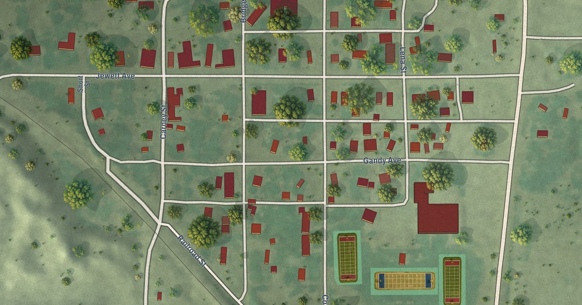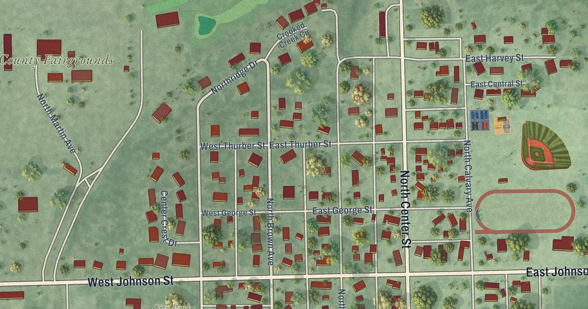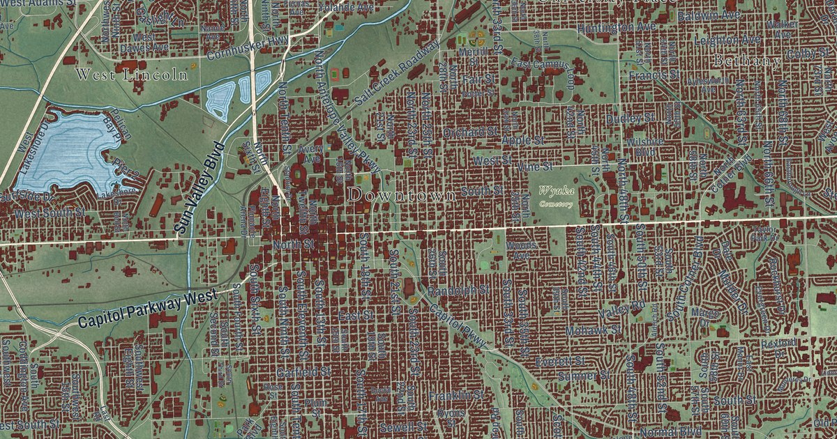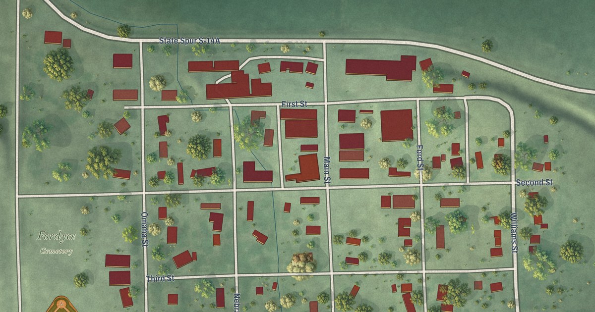
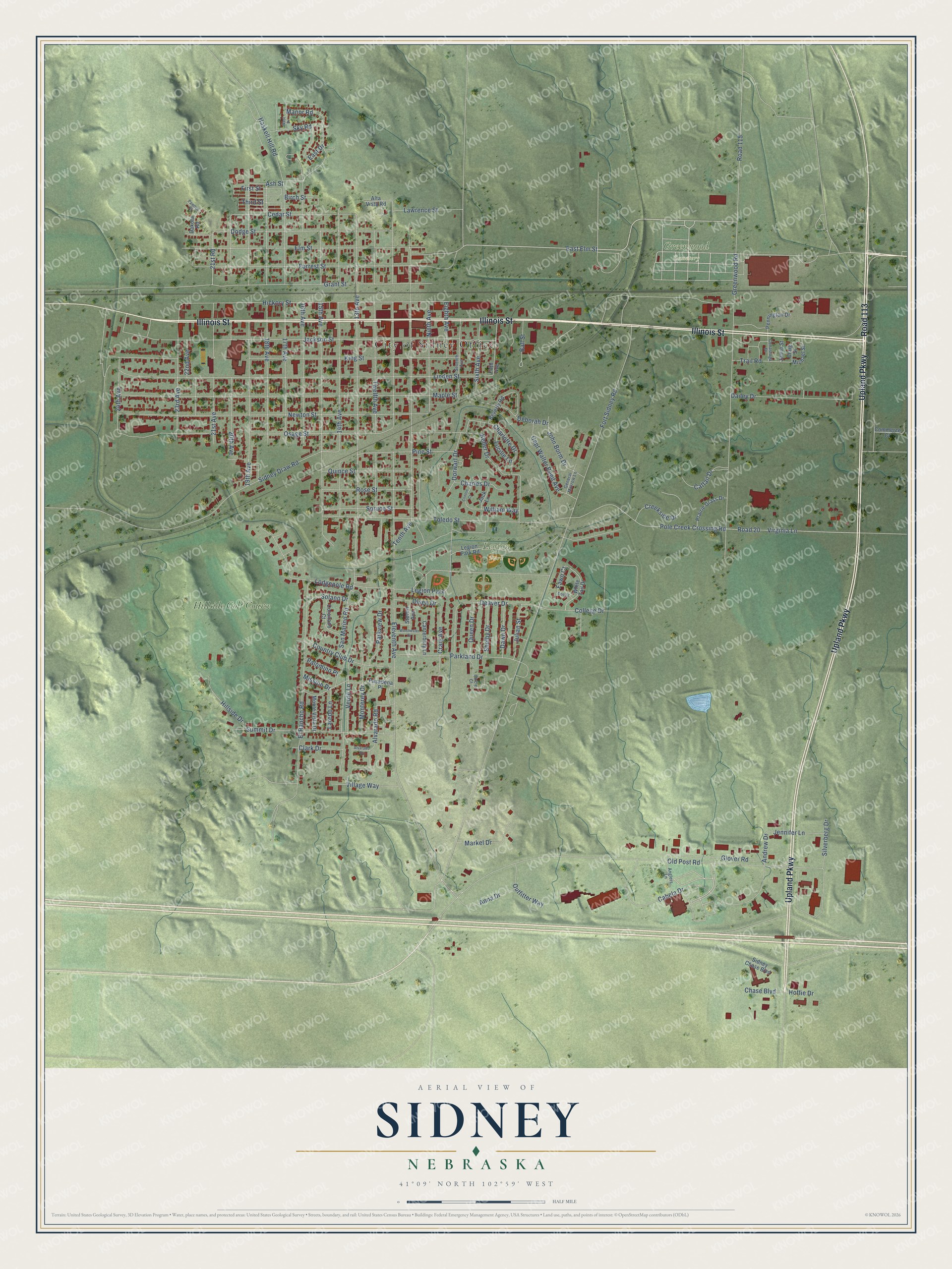
This beautifully detailed map of Sidney, Nebraska was created in 2026 using aerial imagery combined with modern topographical, census, street and landmark data. It's a modern aerial view of Sidney in Cheyenne County, Nebraska, that combines modern data with a vintage aesthetic. The roads feature printed names, and if you look closely you can find your exact house accurately shown in its correct location.
Explore an aerial view of Sidney, Nebraska
On this map you'll find City of Sidney Offices, Greenwood Cemetery, Legion Park, Hillside Golf Course, Illinois Street, Upland Parkway, Road 113, East Elm Street, Trail Road, 13th Avenue, 21st Avenue, Cedar Street, and more. Each red shape is a building, so zoom in on the preview and look for yours.
Every town has a first chapter, and Sidney is no exception. The University of Nebraska puts it this way: "The town of Sidney was named in honor of Sidney Dillon, a New York attorney, who was general solicitor in New York for the Union Pacific Railroad Company."
Sidney is a city in Cheyenne County. The Census Bureau counted 6,410 people here in 2020.
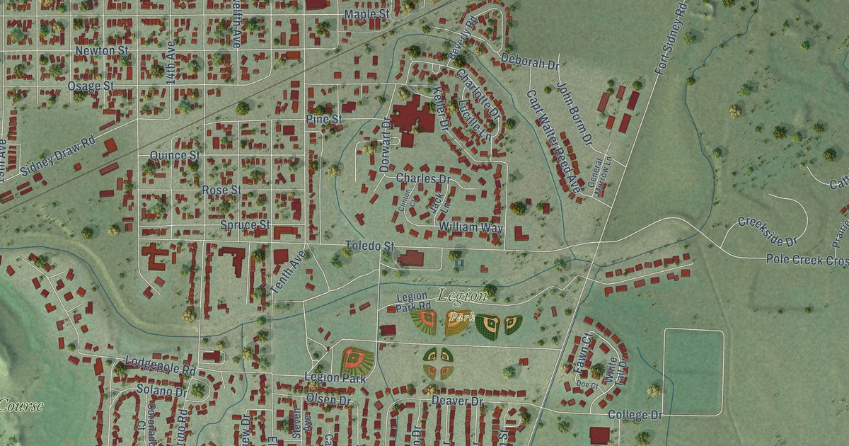
Take a closer look at the Sidney map
Names on this map
These names are printed on this map.
Places: City of Sidney Offices, Greenwood Cemetery, Legion Park and Hillside Golf Course.
Streets and roads: Illinois Street, Upland Parkway, Road 113, East Elm Street, Trail Road, 13th Avenue, 21st Avenue, Cedar Street, 24th Avenue, Third Street, Pole Creek Crossing Road, Ash Street.
More street names, A to Z
14th Avenue, 15th Avenue, 16th Avenue, 17th Avenue, 18th Avenue, 19th Avenue, 20th Avenue, 21st Road, 22nd Avenue, 23rd Avenue, Alta Vista Road, Alvarado Court, Alvarado Road, Andrew Drive, Anglers Lane, Anna Drive, Ball Street, Beverly Road, Birch Street, Cabela Drive, Canterbury Lane, Capt Walter Reed Avenue, Cattail Drive, Charles Drive, Charlotte Drive, Chase Boulevard, Circle Court, Clark Drive, Clinton Court, College Drive, Commerce Court, Conastoga Drive, Coronado Court, Country Club Drive, Craig Avenue, Craig Street, Creekside Drive, Dailey Drive, Dakota Road, Dawn Drive, Deaver Drive, Deborah Drive, Dodge Street, Doe Court, Dorwart Drive, East Drive, Eighth Avenue, Eleventh Avenue, Elm Street, El Rancho Road, Fawn Court, Fifth Avenue, First Street, Forrest Street, Fort Sidney Road, General Morrow Lane, Glover Road, Grant Street, Greenwood Road, Haskell Hill Road, Hickory Street, Hillside Drive, Hoffie Drive, Jack Lane, Jackson Street, Jamie Street, Jennifer Lane, John Borm Drive, Julian Street, Keller Drive, King Street, Laredo Lane, Lawrence Street, Legion Park Road, Linden Street, Lodgepole Road, Lucille Lane, Manor Road, Maple Street, Markel Drive, Michael Street, Mission Drive, Monterey Drive, Monte Vista Drive, Newton Street, Ninth Avenue, Old Post Road, Olsen Drive, Osage Street, Outfitter Way, Palomino Place, Parkland Drive, Parkview Drive, Pasadena Place, Pawnee Place, Pennington Drive, Pine Street, Prairie Grass Drive, Queen Drive, Quince Street, Road 20, Road 115, Rose Street, San Marino Road, Seventh Avenue, Shelby Drive, Sidney Chase Boulevard, Sidney Draw Road, Silverberg Drive, Sixth Avenue, Sky Road, Solano Drive, Spruce Street, Steven Avenue, Summit Drive, Tenth Avenue, Toledo Street, Twelfth Avenue, Verde Lane, Village Way, Virginia Lane, West Drive, White Tail Drive, William Way, Winchester Drive.
Created by KNOWOL in 2026. The buildings are small red shapes, the roads carry their printed names, and shaded relief shows the shape of the land. The title panel reads "AERIAL VIEW OF SIDNEY NEBRASKA" with 41°09' NORTH 102°59' WEST.
Hang it in the hallway, the office or the cabin, or give it to someone who left Sidney and still calls it home. Open the preview and look for a street you know. See sizes and frames for the Sidney map.