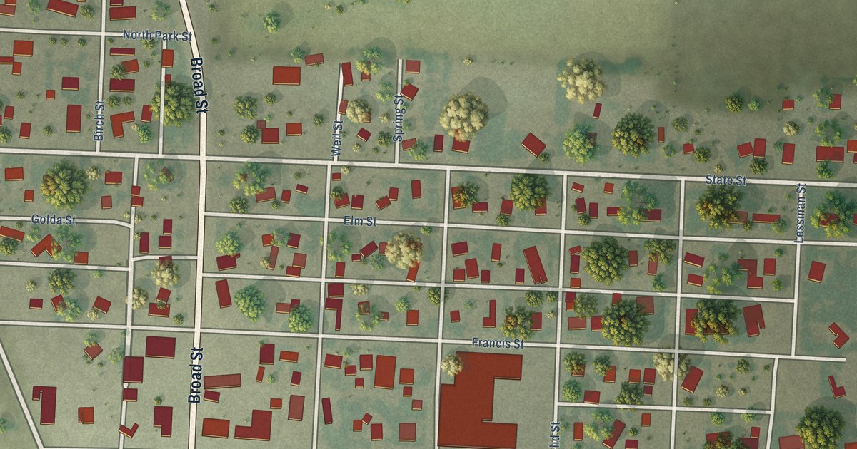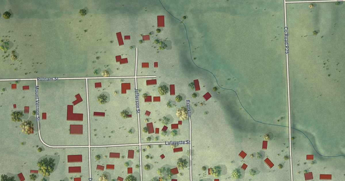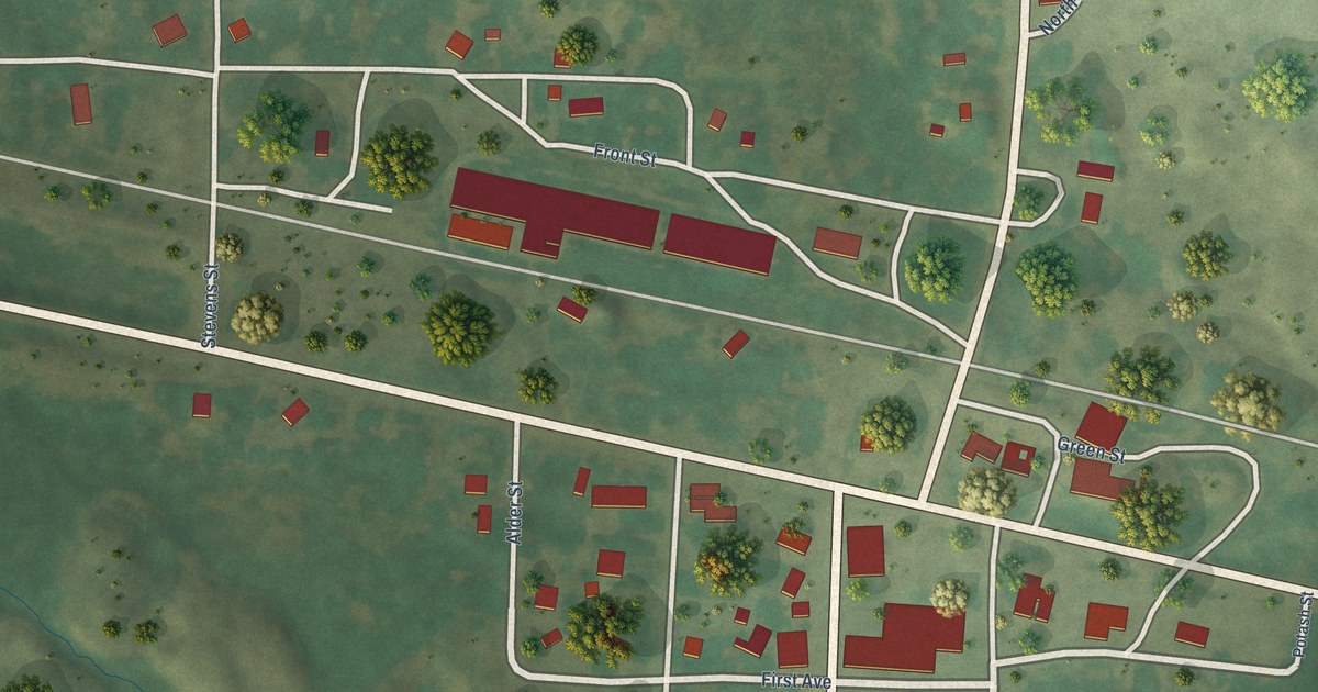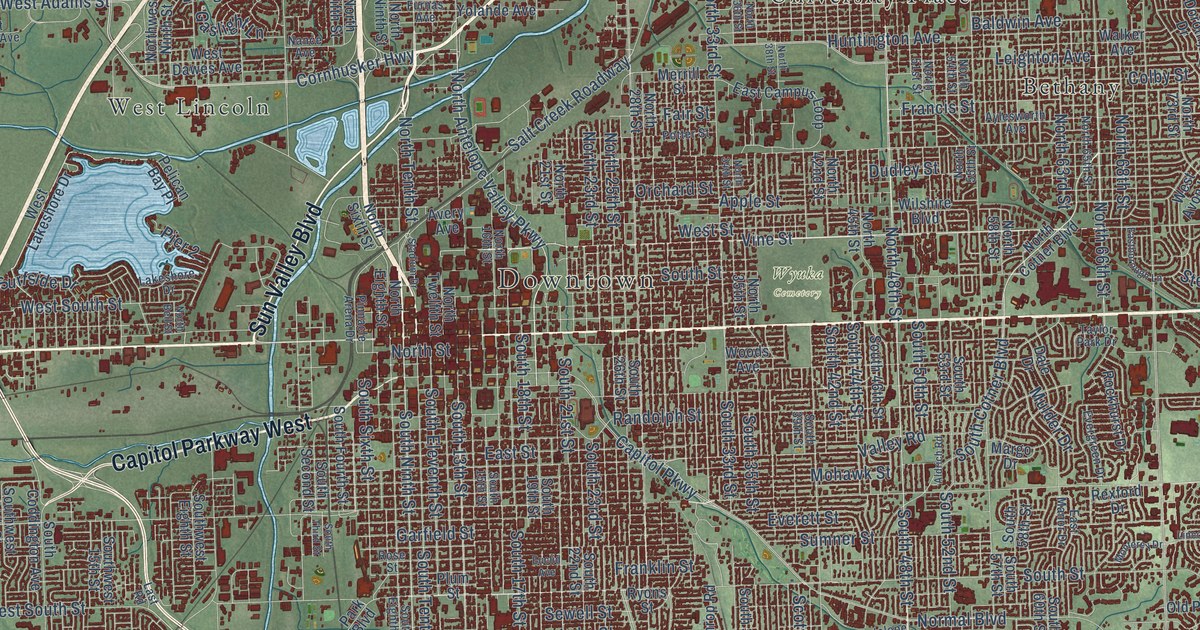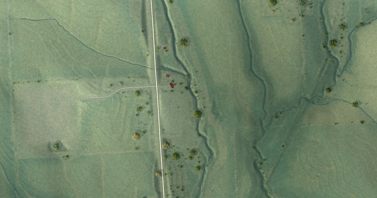
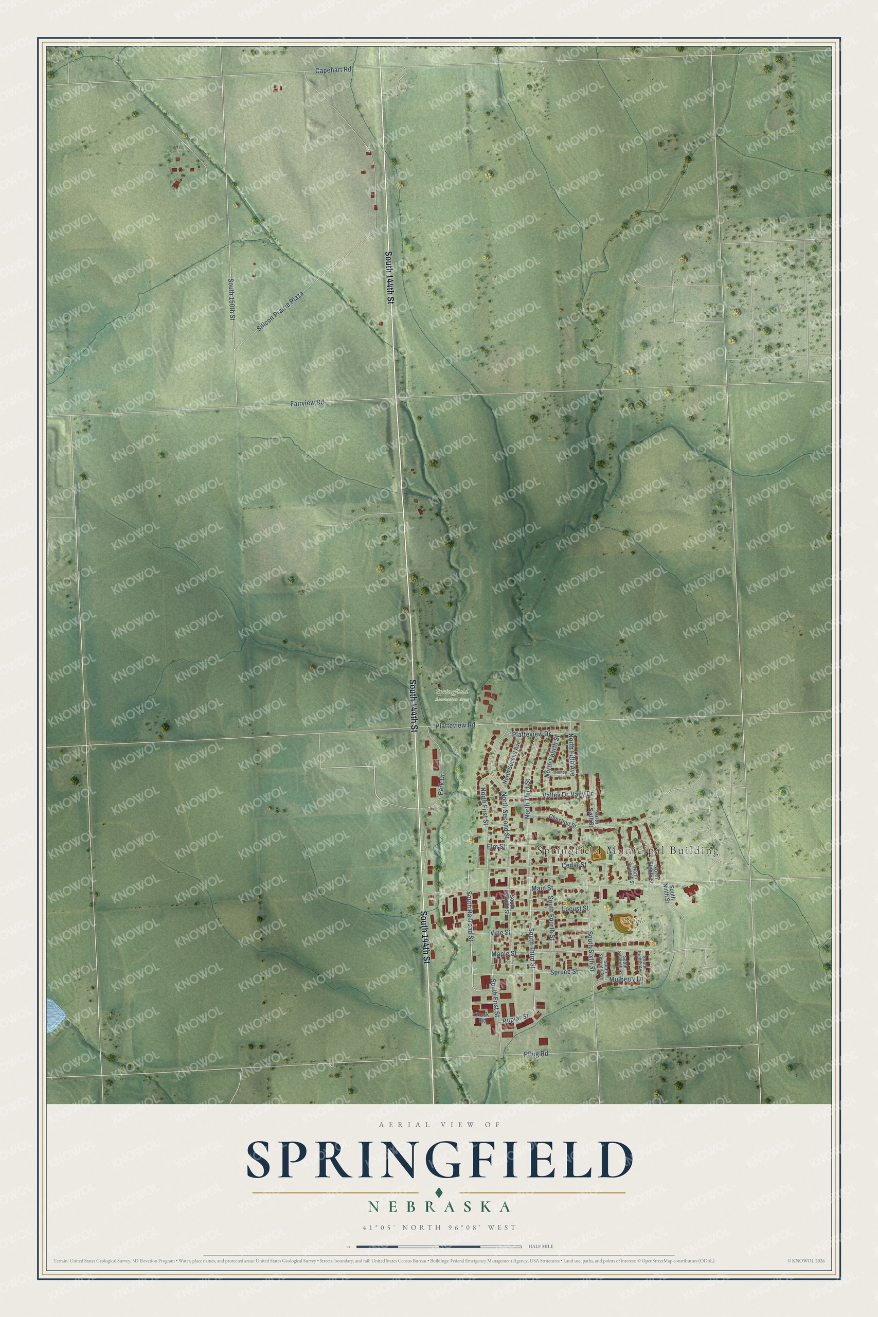
This beautifully detailed map of Springfield, Nebraska was created in 2026 using aerial imagery combined with modern topographical, census, street and landmark data. It's a modern aerial view of Springfield in Sarpy County, Nebraska, that combines modern data with a vintage aesthetic. The roads feature printed names, and if you look closely you can find your exact house accurately shown in its correct location.
Explore an aerial view of Springfield, Nebraska
On this map you'll find Springfield Municipal Building, Springfield Recreation Area, Buffalo Park, South 144th Street, South Railroad Street, South Third Street, Silicon Prairie Plaza, South 150th Street, Capehart Road, Main Street, Fairview Road, Elm Street, and more. Each red shape is a building, so zoom in on the preview and look for yours.
Springfield has a story worth telling. The University of Nebraska puts it this way: "The Missouri Pacific Railroad Company surveyed and platted the town in November, 1881. Mr. J. D. Spearman who owned the land on which the town was platted, named it Springfield because of the abundance of large springs in the vicinity."
Springfield is a city in Sarpy County. The Census Bureau counted 1,501 people here in 2020.
Take a closer look at the Springfield map
Names on this map
These names are printed on this map.
Places: Springfield Municipal Building, Springfield Recreation Area and Buffalo Park.
Streets and roads: South 144th Street, South Railroad Street, South Third Street, Silicon Prairie Plaza, South 150th Street, Capehart Road, Main Street, Fairview Road, Elm Street, North Second Street, Platteview Road, South First Street.
More street names, A to Z
Cedar Street, Chestnut Street, Hilltop Avenue, Locust Street, Maple Street, Mulberry Lane, North Eighth Street, North Fifth Avenue, North First Street, North Fourth Street, North Second Avenue, North Seventh Street, North Sixth Street, North Third Street, Park Drive, Pflug Road, Platteview Drive, Poplar Street, Rock Road, South Eighth Avenue, South Fourth Street, South Ninth Street, South Second Street, South Seventh Avenue, South Seventh Street, South Sixth Street, Spruce Street, Valley Drive, Vally Drive, Vine Street.
Created by KNOWOL in 2026. The buildings are small red shapes, the roads carry their printed names, and shaded relief shows the shape of the land. The title panel reads "AERIAL VIEW OF SPRINGFIELD NEBRASKA" with 41°05' NORTH 96°08' WEST.
It looks right in a kitchen, an office or a den, and it's a gift for anyone who grew up in Springfield or moved away. Open the preview and find your street. See sizes and frames for the Springfield map.