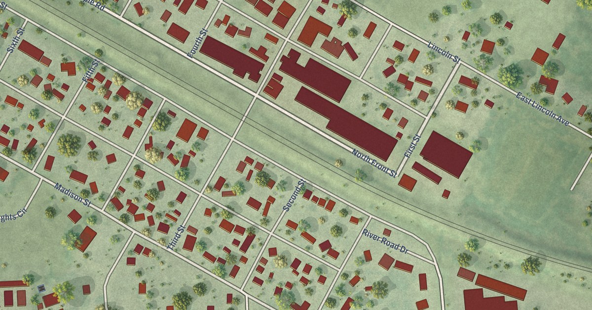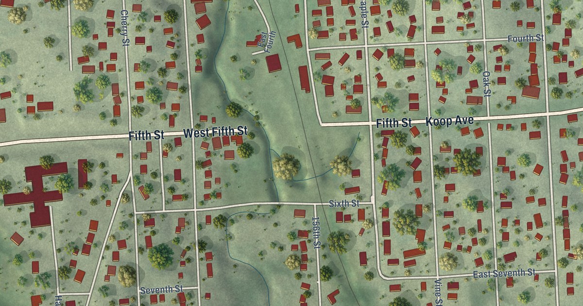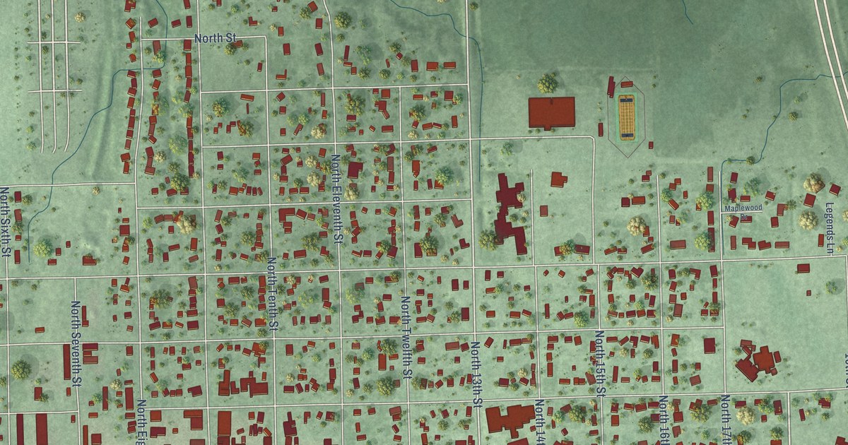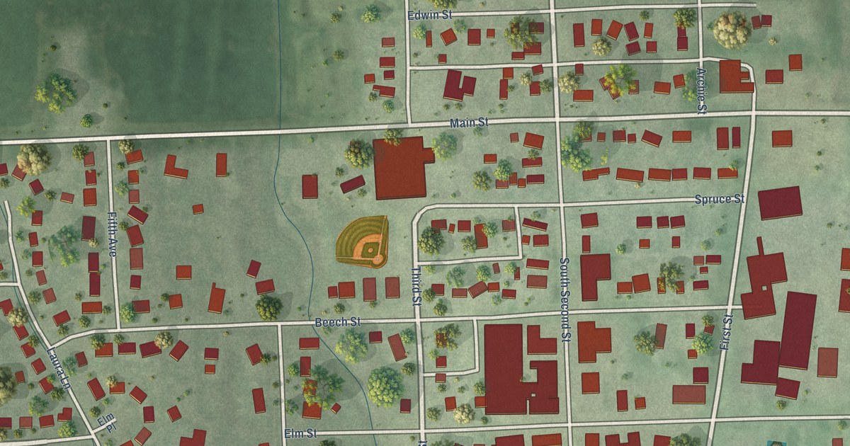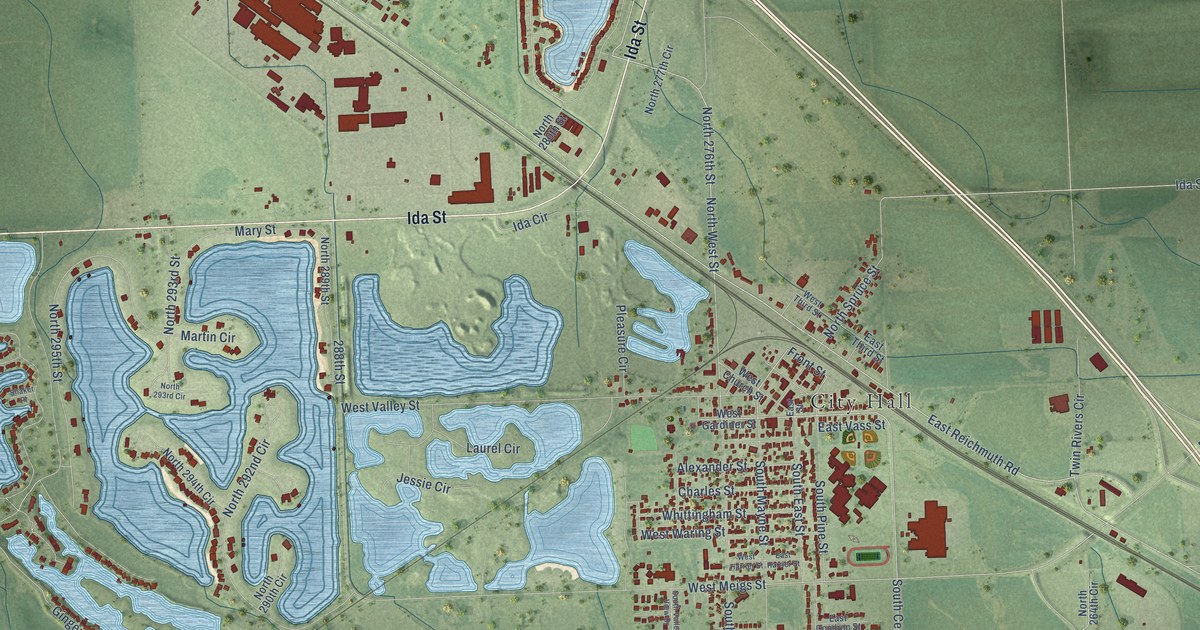
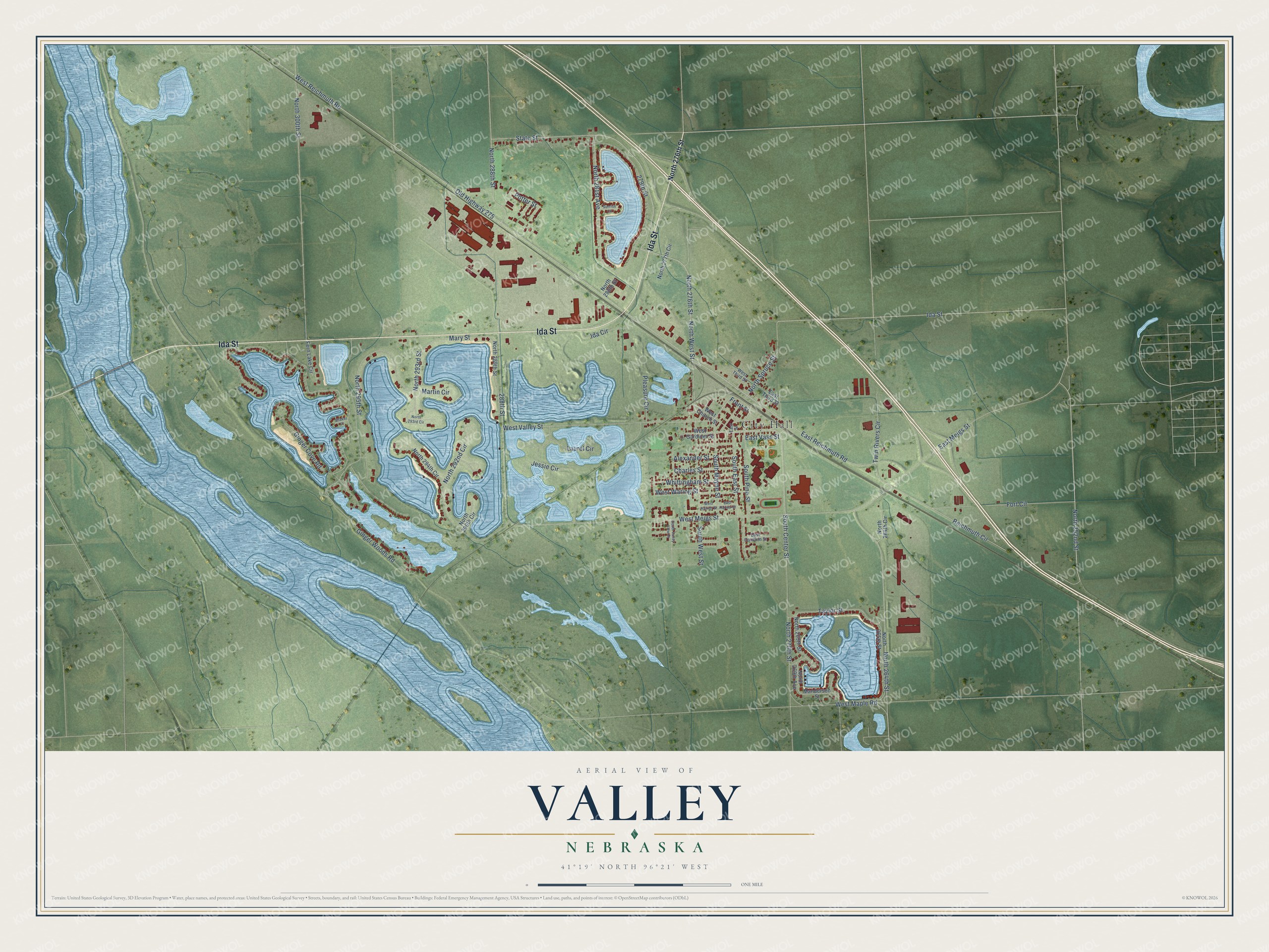
This beautifully detailed map of Valley, Nebraska was created in 2026 using aerial imagery combined with modern topographical, census, street and landmark data. It's a modern aerial view of Valley in Douglas County, Nebraska, that combines modern data with a vintage aesthetic. The roads feature printed names, and if you look closely you can find your exact house accurately shown in its correct location.
Explore an aerial view of Valley, Nebraska
On this map you'll find City Hall, Ida Street, Front Street, North West Street, South East Street, North 281st Avenue, Ginger Woods Road, Old Highway 275, North 252nd Street, North 264th Street, West Reichmuth Road, East Meigs Street, and more. Each red shape is a building, so zoom in on the preview and look for yours.
Valley has a story worth telling. The University of Nebraska puts it this way: "When the town was incorporated, the first part of the name, Platte, was accidently omitted and only Valley was inserted. Hence the town became Valley, but the precinct in which it is located is still known as Platte Valley precinct."
Valley is a city in Douglas County. The Census Bureau counted 3,037 people here in 2020.
Take a closer look at the Valley map
Names on this map
These names are printed on this map.
Places: City Hall.
Streets and roads: Ida Street, Front Street, North West Street, South East Street, North 281st Avenue, Ginger Woods Road, Old Highway 275, North 252nd Street, North 264th Street, West Reichmuth Road, East Meigs Street, State Street.
More street names, A to Z
279th Street, 288th Street, Alexander Street, Charles Street, East Condron Street, East Harrier Street, East Reichmuth Road, East Street, East Third Street, East Vass Street, Fern Lake Circle, Fort Circle, Ginger Cove Road, Ida Circle, Jessie Circle, Laurel Circle, Manderson Street, Martin Circle, Mary Street, North 264th Circle, North 265th Street, North 269th Avenue, North 269th Street, North 270th Street, North 276th Street, North 277th Circle, North 280th Street, North 288th Street, North 289th Street, North 290th Circle, North 292nd Circle, North 293rd Circle, North 293rd Street, North 294th Circle, North 295th Street, North 300th Street, North Spruce Street, Pleasure Circle, Potter Street, Reichmuth Circle, Shaker Place, South Center Street, South Mayne Street, South Pine Street, South Valley View Drive, South West Street, Sunrise Circle, Taylor Street, Twin Rivers Circle, West Church Street, West Gardiner Street, West Harrier Street, West Maple Road, West Meigs Street, West Third Street, West Valley Street, West Waring Street, Whittingham Street.
Created by KNOWOL in 2026. The buildings are small red shapes, the roads carry their printed names, and shaded relief shows the shape of the land. The title panel reads "AERIAL VIEW OF VALLEY NEBRASKA" with 41°19' NORTH 96°21' WEST.
It looks right in a kitchen, an office or a den, and it's a gift for anyone who grew up in Valley or moved away. Open the preview and find your street. See sizes and frames for the Valley map.