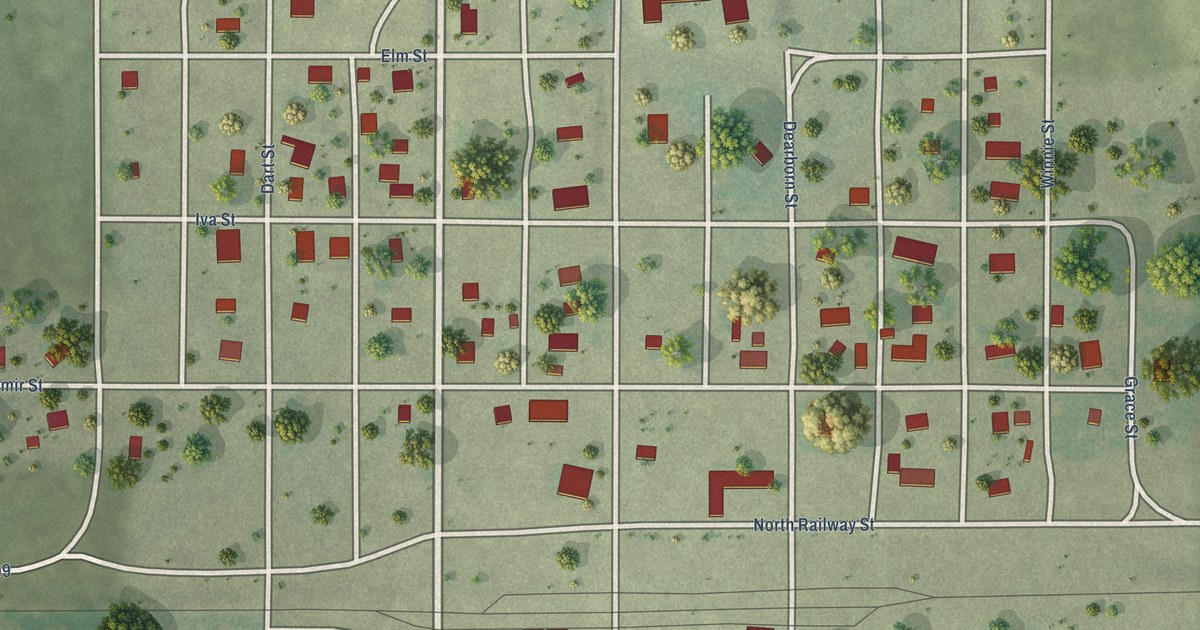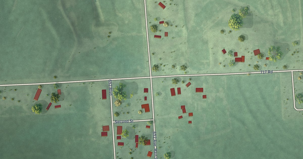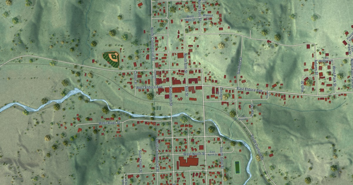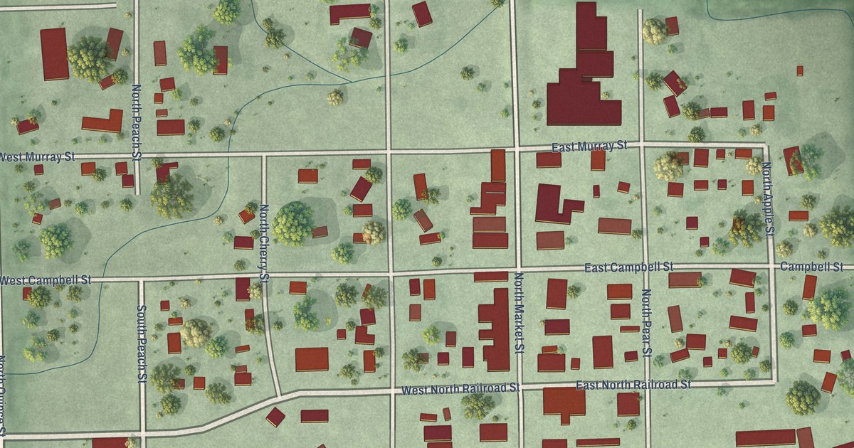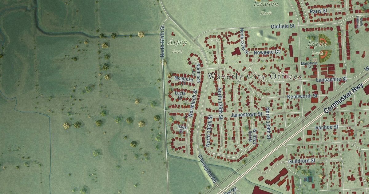
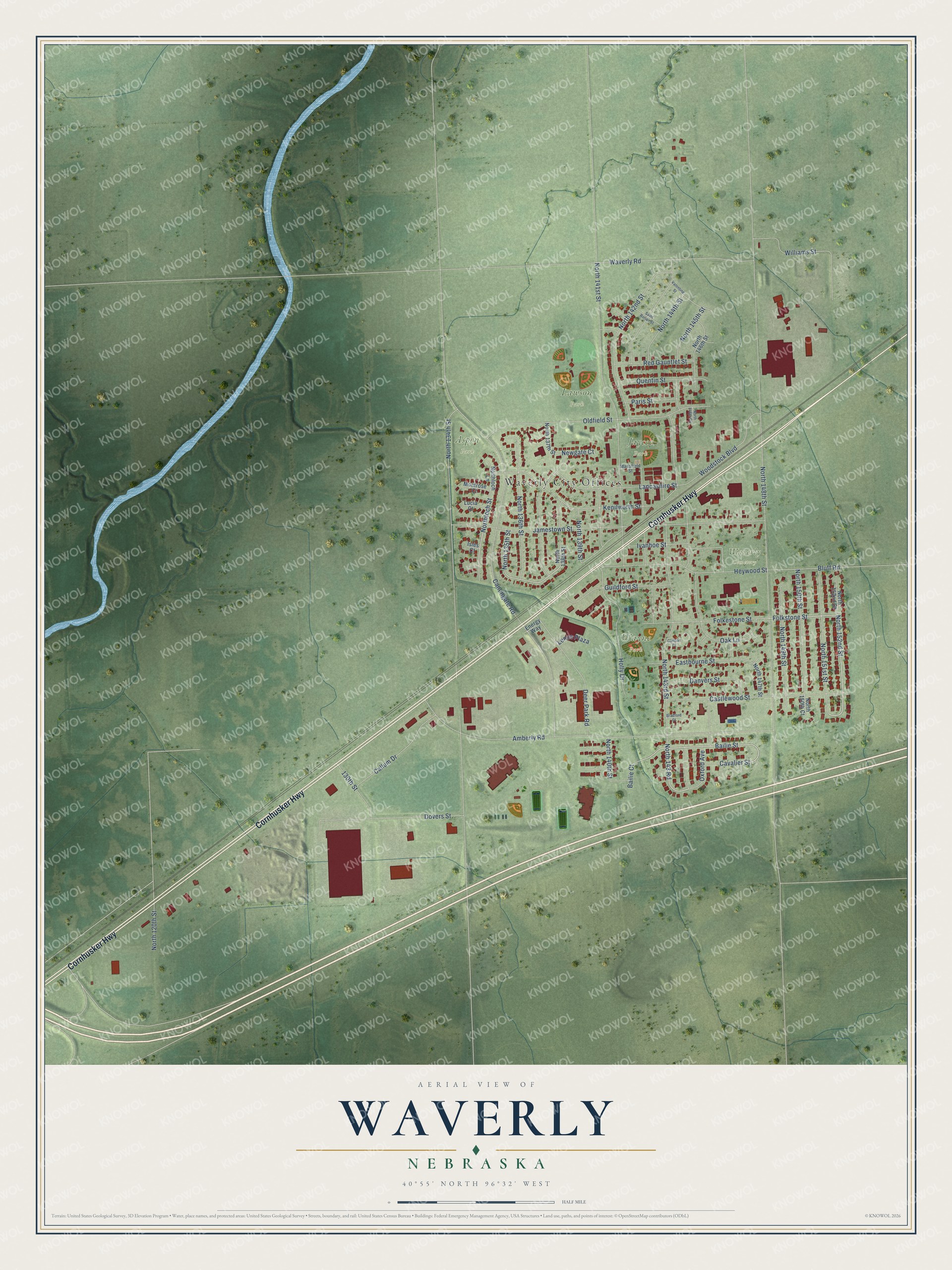
This beautifully detailed map of Waverly, Nebraska was created in 2026 using aerial imagery combined with modern topographical, census, street and landmark data. It's a modern aerial view of Waverly in Lancaster County, Nebraska, that combines modern data with a vintage aesthetic. The roads feature printed names, and if you look closely you can find your exact house accurately shown in its correct location.
Explore an aerial view of Waverly, Nebraska
On this map you'll find Waverly City Offices, Aspen Park, Lawson Park, Wayne Park, Jaycee Park, Waverly Cemetery, Cornhusker Highway, North 143rd Street, North 152nd Street, Folkstone Street, Bailie Street, North 143 Road, and more. Each red shape is a building, so zoom in on the preview and look for yours.
Every town has a first chapter, and Waverly is no exception. The Internet Archive puts it this way: "Waverly. The settlement of Waverly dates back to about 1868.
The town was named for Sir Walter Scott’s historical novel,
Waverley, and the streets are also named from the same work. The
precinct has the same name."
Waverly is a city in Lancaster County. The Census Bureau counted 4,279 people here in 2020.
Take a closer look at the Waverly map
Names on this map
These names are printed on this map.
Places: Waverly City Offices, Aspen Park, Lawson Park, Wayne Park, Jaycee Park and Waverly Cemetery.
Streets and roads: Cornhusker Highway, North 143rd Street, North 152nd Street, Folkstone Street, Bailie Street, North 143 Road, Northloch Street, Guildford Street, North 148th Street, Amberly Road, North 134th Street, Canongate Road.
More street names, A to Z
130th Street, Bailie Court, Bluff Road, Bradford Court, Callum Drive, Carlson Court, Castlewood Street, Cavalier Street, Danvers Street, Deer Park Road, Dovers Street, Eastbourne Street, Energy Way, Folkestone Street, Heywood Street, Holly Drive, Isles Court, Ivanhoe Street, Jamestown Street, Kenilworth Street, Lancashire Street, Lenco Plaza, Lucia Court, Mansfield Street, Montrose Court, Newgate Court, North 120th Street, North 135th Street, North 136th Street, North 137th Street, North 138th Street, North 139th Street, North 140th Street, North 141st Street, North 142nd Street, North 144th Street, North 145th Street, North 146th Circle, North 146th Street, North 147th Street, North 149th Street, North 150th Court, North 150th Street, North 151st Street, North 152nd Court, Northloch Lane, Oak Lane, Oldfield Street, Oxford Avenue, Paris Street, Quentin Street, Red Gauntlet Street, Saint Ronan Street, Valentine Street, Waverly Road, Williams Street, Woodstock Boulevard.
Created by KNOWOL in 2026. The buildings are small red shapes, the roads carry their printed names, and shaded relief shows the shape of the land. The title panel reads "AERIAL VIEW OF WAVERLY NEBRASKA" with 40°55' NORTH 96°32' WEST.
Hang it in the hallway, the office or the cabin, or give it to someone who left Waverly and still calls it home. Open the preview and look for a street you know. See sizes and frames for the Waverly map.