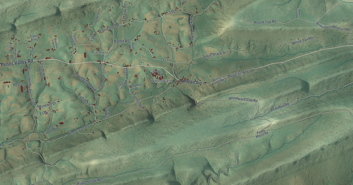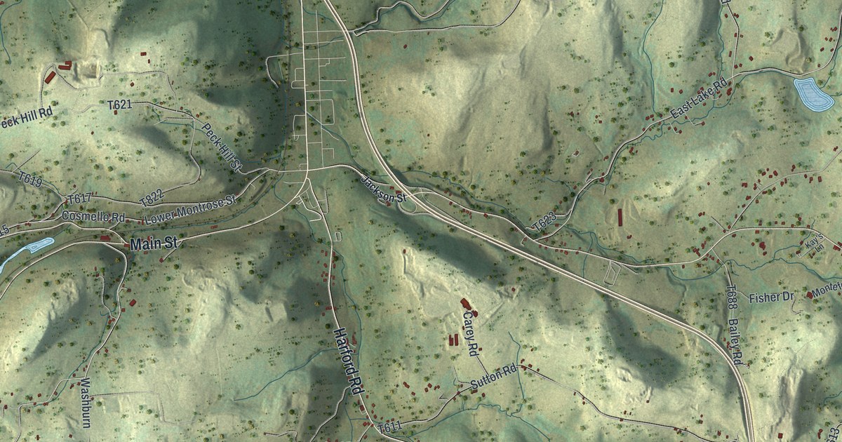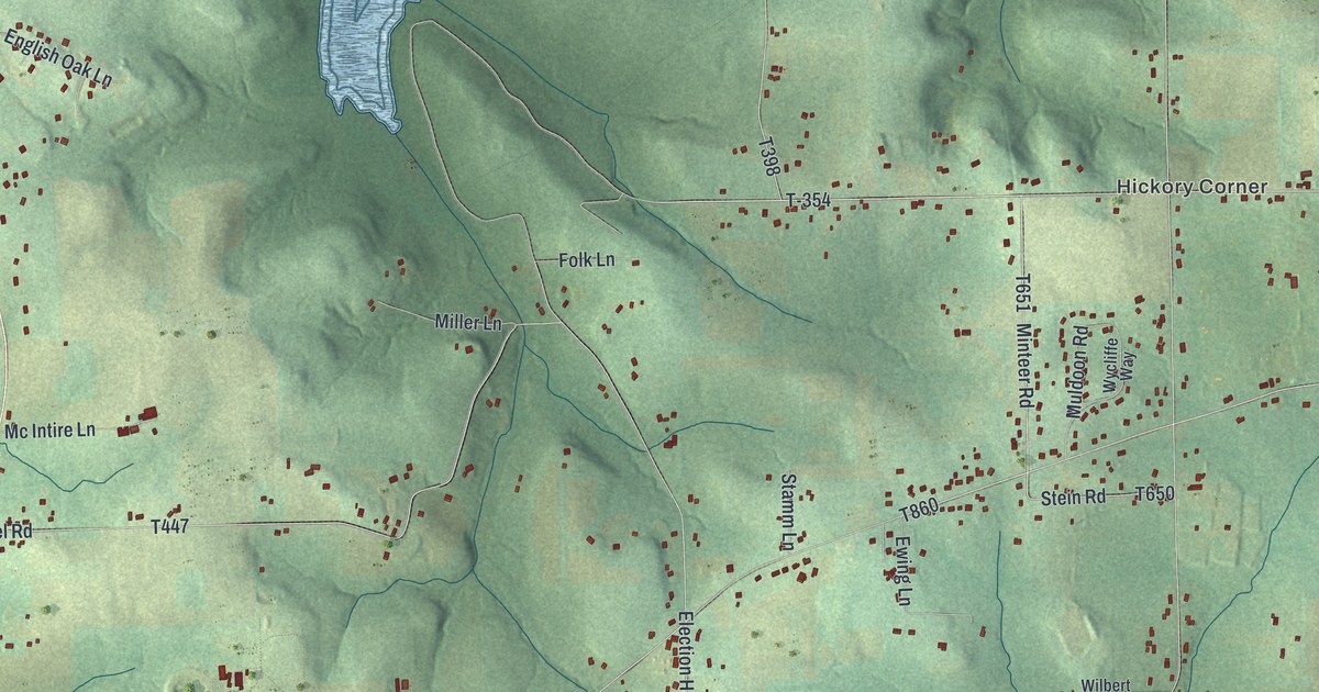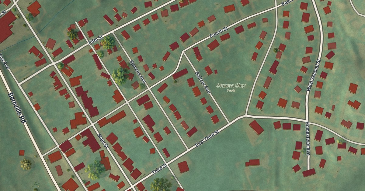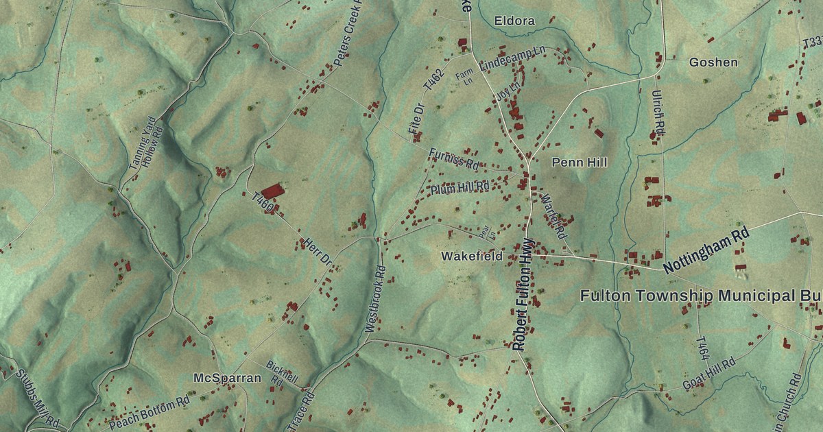
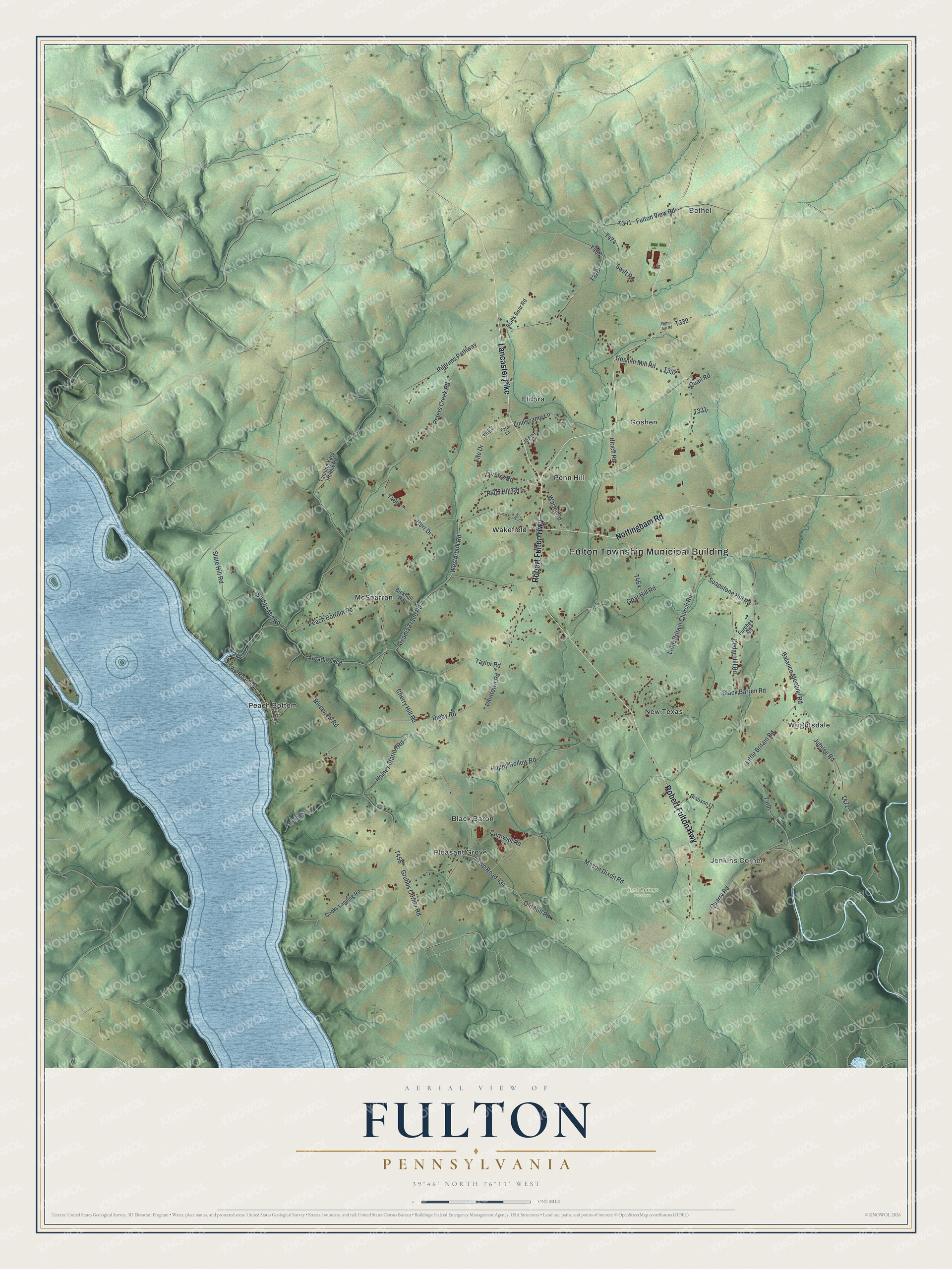
This beautifully detailed map of Fulton, Pennsylvania was created in 2026 using aerial imagery combined with modern topographical, census, street and landmark data. It's a modern aerial view of Fulton in Lancaster County, Pennsylvania, that combines modern data with a vintage aesthetic. The roads feature printed names, and if you look closely you can find your exact house accurately shown in its correct location.
Explore an aerial view of Fulton, Pennsylvania
On this map you'll find Fulton Township Municipal Building, Jenkins Corner, Rock Springs Preserve, Bethel, Black Baron, Eldora, Goshen, McSparran, New Texas, Peach Bottom, Penn Hill, Pleasant Grove, and more. Each red shape is a building, so zoom in on the preview and look for yours.
Here is a piece of Fulton history, in the words of the record. The Fulton Township puts it this way: "In 1844 a new township was formed from a portion of Little Britain Township. The Fulton homstead was included & the new township was named Fulton Township."
Fulton is a place in Lancaster County. The Census Bureau counted 3,214 people here in 2020.
Take a closer look at the Fulton map
Names on this map
These names are printed on this map.
Places: Fulton Township Municipal Building, Jenkins Corner, Rock Springs Preserve, Bethel, Black Baron, Eldora, Goshen, McSparran, New Texas, Peach Bottom, Penn Hill, Pleasant Grove, Wakefield and Wrightsdale.
Streets and roads: Nottingham Road, Robert Fulton Highway, Lancaster Pike, Peach Bottom Road, Quarry Road, Twp Road 444, Cherry Hill Road, Twp Road 434, Old Mill Road, Grubbs Corner Road, Soapstone Hill Road, Little Britain Church Road.
More street names, A to Z
Arcadia Trace Road, Arcadia Trce, Balance Meeting Road, Bicknell Road, Black Barren Road, Black Bear Road, Brabson Lane, Cedar Hill Road, Cooks Landing Road, Cornwall Road, Farm Lane, Fite Drive, Fulton Inn Road, Fulton View Road, Furches Road, Furniss Road, Goat Hill Road, Goshen Mill Road, Haines, Haines Station Road, Happy Hollow Road, Herr Drive, Joy Lane, Jubilee Road, Lindecamp Lane, Little Britain Road, Mason Dixon Road, Pear Lane, Peters Creek Road, Pilgrims Pathway, Pilottown Road, Plum Hill Road, Quail Road, Rigby Road, Riverview Road, Slate Hill Road, Spring Lane, Stubbs Mill Road, Swift Road, Tanning Yard Hollow Road, Taylor Road, Ulrich Road, Warfel Road, Westbrook Road.
Created by KNOWOL in 2026. The buildings are small red shapes, the roads carry their printed names, and shaded relief shows the shape of the land. The title panel reads "AERIAL VIEW OF FULTON PENNSYLVANIA" with 3, 9, °, 4, 6, ', , N, O, R, T, H, , 7, 6, °, 1, 1, ', , W, E, S, T.
It suits a den, a classroom or a front hall, and it makes a gift for anyone with Fulton roots. Open the preview and find the block you know. See sizes and frames for the Fulton map.