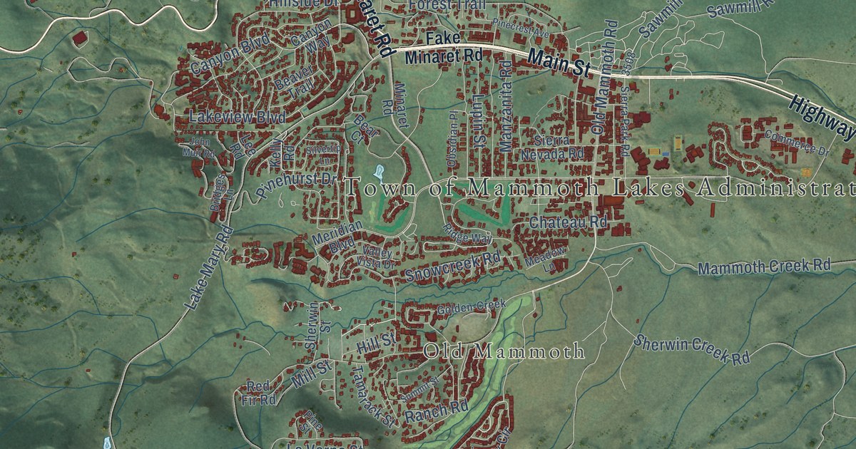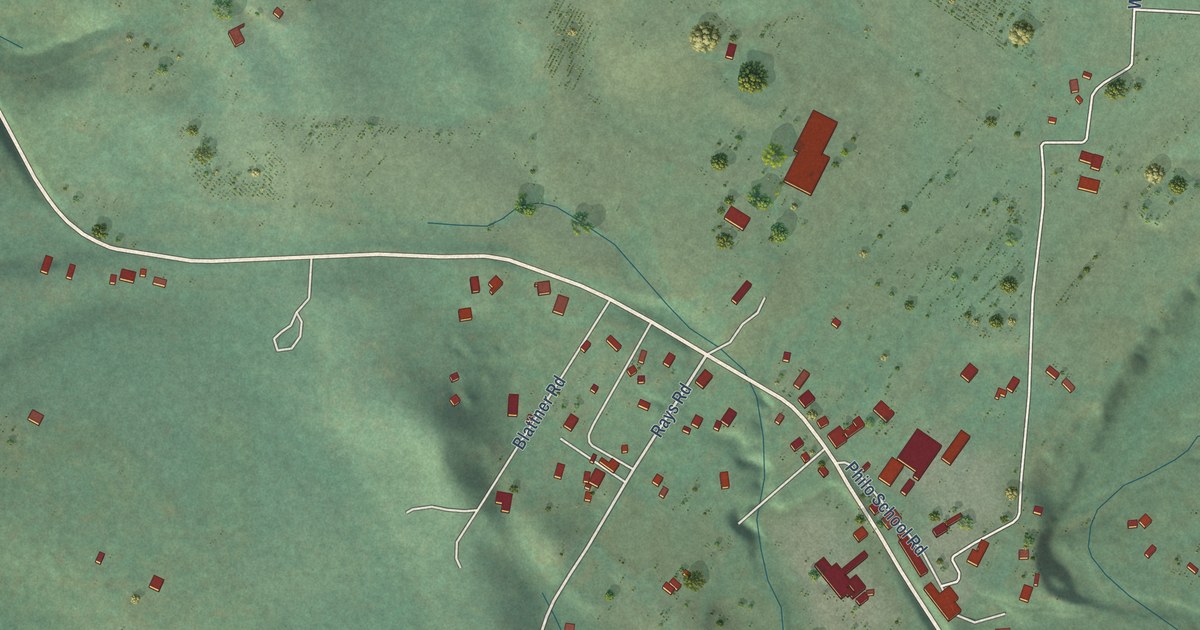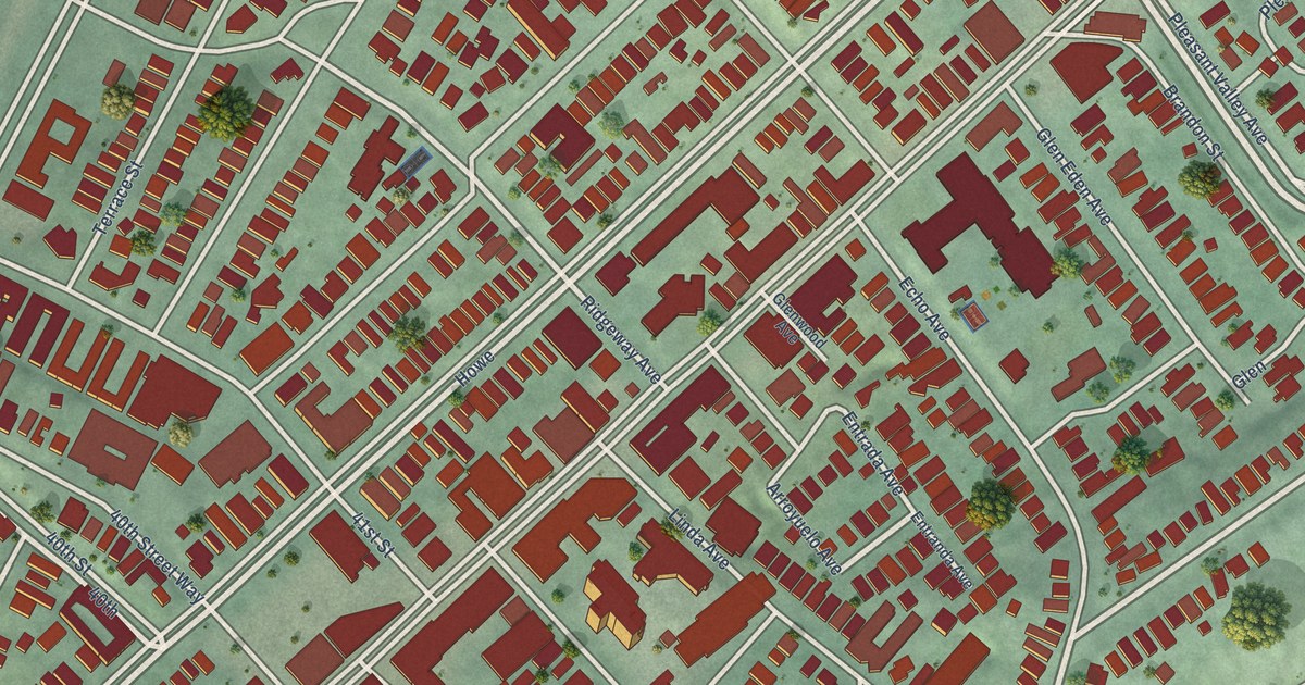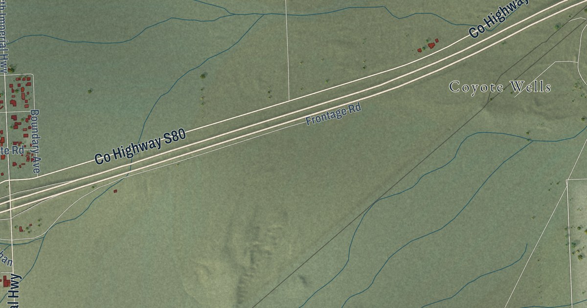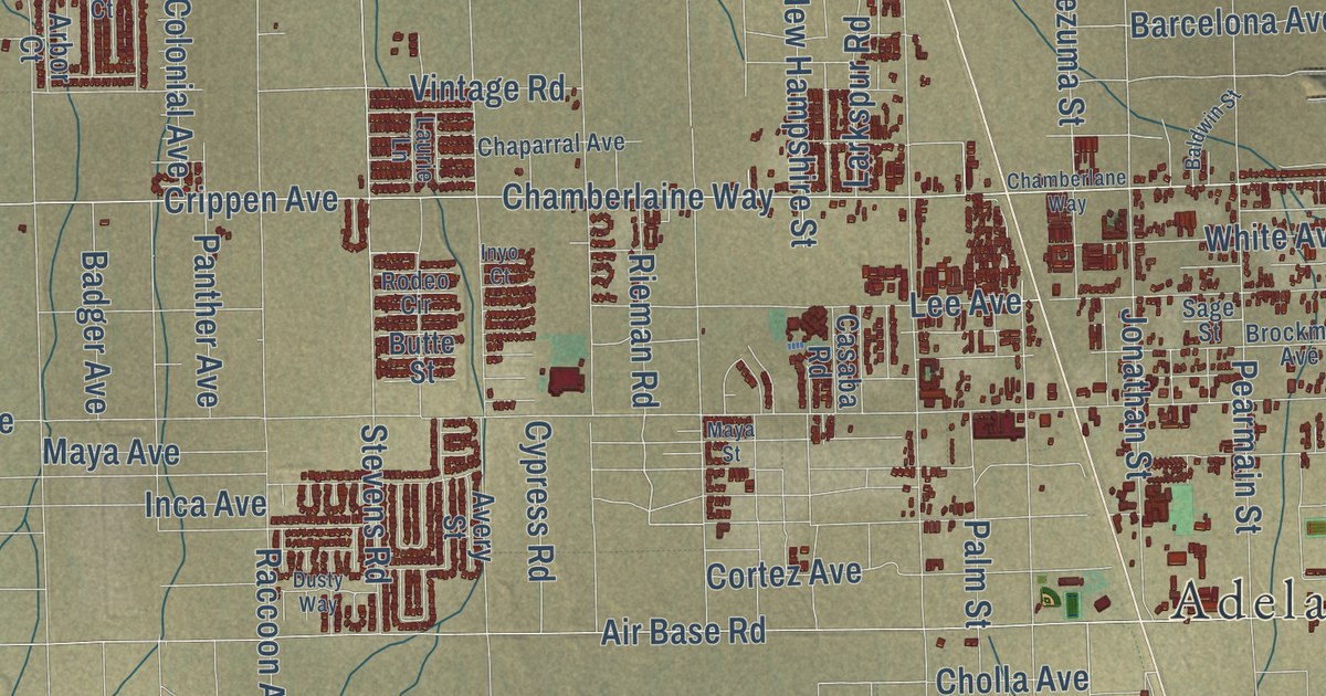
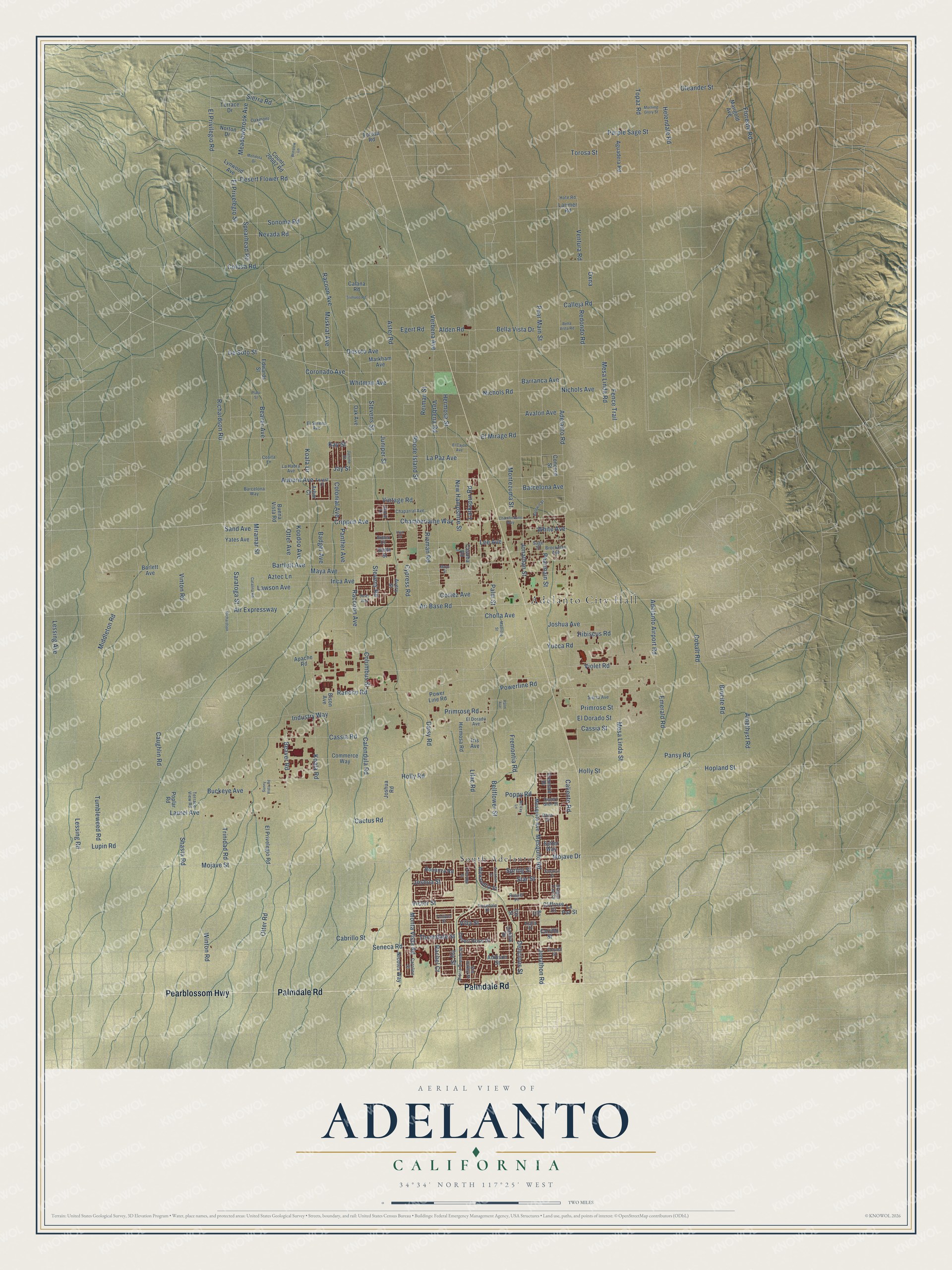
This beautifully detailed map of Adelanto, California was created in 2026 using aerial imagery combined with modern topographical, census, street and landmark data. It’s a one-of-a-kind view of Adelanto that combines accurate data with a vintage aesthetic. The map shows every building in its true location, many of the roads carry their names, and the shaded topographic relief shows the shape of the land.
Explore an aerial view of Adelanto, California
On the map you’ll find Adelanto City Hall and South Adelanto, along with Palmdale Road, Pearblossom Highway, Seneca Road, Violet Road, El Privilegio Road, Mesa Linda Street, Hopland Street, Chamberlaine Way, Holly Street, Delicious Street, and more. If you look closely you can even find your house accurately drawn in its correct location. Zoom in on the preview to look for yours.
Did you know this piece of Adelanto, California history?
From San Bernardino County: "In 1915, Richardson purchased land near Victorville and began developing what would become Adelanto."
Take a closer look at the Adelanto map
Street and place names on the Adelanto, California map
These names are printed on the map of Adelanto, California.
Places: Adelanto City Hall and South Adelanto.
Streets and roads: Palmdale Road, Pearblossom Highway, Richardson Road, Chamberlaine Way, Violet Road, Joshua Avenue, Cactus Road, El Privelegio Street, El Privilegio Road, Hopland Street, Beaver Avenue, Mesa Linda Street.
More street names, A to Z
Addison Street, Adelanto Airport Road, Adelanto Road, Aguadera Road, Air Base Road, Air Expressway, Alden Road, Alexandria Street, Amethyst Road, Apache Road, Arbor Court, Arcadian Street, Aster Road, Auburn Avenue, Avalon Avenue, Avery Street, Azalia Drive, Aztec Lane, Badger Avenue, Baldwin Street, Barcelona Avenue, Barcelona Way, Barlett Avenue, Barranca Avenue, Bartlett Avenue, Beaver Road, Bella Vista Drive, Bella Vista Road, Bellflower Street, Bison Avenue, Bo Court, Bonanza Road, Brockman Avenue, Brucite Road, Buckeye Avenue, Buena Vista Road, Butte Street, Cabrillo Street, Calana Road, Calendula Road, Caliente Road, Calleja Road, Caroline Street, Carrillo Street, Casaba Road, Cassia Road, Cassia Street, Catalina Road, Caughlin Road, Chamberlane Way, Chaparral Avenue, Cholla Avenue, Cliffrose Court, Cobalt Road, Coleridge Street, Colonial Avenue, Columbus Street, Colusa Road, Commerce Way, Concord Street, Cornell Street, Coronado Avenue, Cortez Avenue, Cosita Lane, County 20982 Road, Crippen Avenue, Cypress Road, Dahlia Drive, Daisy Road, Dana Drive, Delicious Street, Desert Flower Road, Desert Glen Street, Desert Rose Drive, Desoto Avenue, De Soto Street, Dragon Tree Drive, Dusty Way, Edwards Street, Egert Road, El Cajon Avenue, El Dorado Avenue, El Dorado Street, El Mirage Road, El Privelegio Road, El Sereno Avenue, Emerald Road, Fence Trail, Floreate Road, Forest Court, Fremont Drive, Fremontia Road, Helendale Road, Hermosa Road, Hermosa Street, Hibiscus Road, Holly Road, Holly Street, Hote Road, Inca Avenue, Industry Way, Inyo Court, Iris Avenue, Iris Street, Ivy Street, Janine Street, Jay Street, Jonathan Street, Jonathon Road, Joshua Road, Joshua Street, Juniper Street, Kay Street, Koala Drive, Koala Road, Koodoo Avenue, La Habra Avenue, La Paz Avenue, La Paz Street, Larimer Road, Larkspur Road, Laurel Avenue, Laurie Lane, Lawson Avenue, Lee Avenue, Lessing Avenue, Lessing Road, Lilac Road, Lupin Road, Lynwood Avenue, Madrone Street, Marigold Avenue, Markham Avenue, Maya Avenue, Maya Street, McVay Lane, Meadowbrook Avenue, Mendota Drive, Mesa Linda Road, Mesquite Avenue, Mesquite Road, Middleton Road, Miramar Street, Mojave Drive, Mojave Street, Monta Vista Road, Montezuma Street, Morning Glory Street, Muskrat Avenue, Nevada Road, New Hampshire Street, Nichols Avenue, Nichols Road, Nicoles Way, Norton Drive, Oak Avenue, Oakmont Drive, Oleander Street, Otter Avenue, Otter Road, Oxna, Palm Avenue, Palm Street, Pansy Road, Panther Avenue, Pearmain Street, Pear Main Street, Plato Street, Poplar Road, Poppy Road, Powerline Road, Power Line Road, Primrose Road, Primrose Street, Purple Sage Street, Raccoon Avenue, Rachel Court, Racoon Avenue, Rancho Road, Redondo Road, Reiman Street, Rhode Island Street, Richardson, Rieman Road, Rodeo Circle, Rosedale Drive, Russet Place, Sage Street, Sand Avenue, Saratoga Street, Seneca Road, Shasta Road, Sierra Avenue, Sierra Grande Street, Sierra Road, Sonoma Road, Spearhead Road, Spring Street, Star Street, Stevens Road, Stevens Street, Stockton Street, Sunny Vista Road, Sun Valley Street, Sutter Way, Terrace Drive, Terrace View Road, Thorndale Street, Tolliver Street, Topaz Road, Torosa Road, Torosa Street, Trimueo Road, Trinidad Road, Tumbleweed Road, Ventura Road, Verbena Avenue, Verbena Road, Victor Street, Villa Street, Vintage Road, Vinton Road, White Avenue, Whitman Avenue, Winslow Lane, Winton Road, Yates Avenue, Yucca Road.
See the Adelanto, California map on a wall
The Adelanto map as an 18 x 24 inch print in a black frame.

This beautifully detailed map of Adelanto makes an attractive addition to your office, library, or den, and it can even be used to teach children the geography and history of the area. It also makes a great gift for anyone with Adelanto roots. When you’re done exploring, click here to get your copy of the Adelanto map.