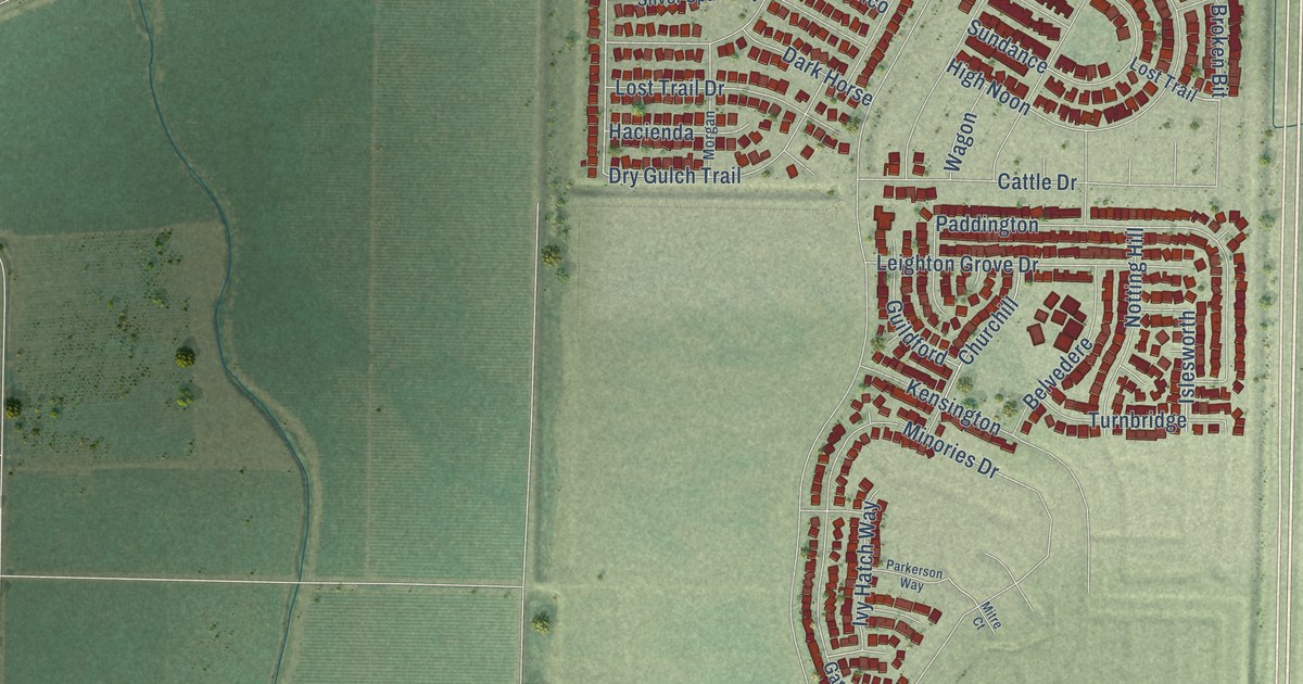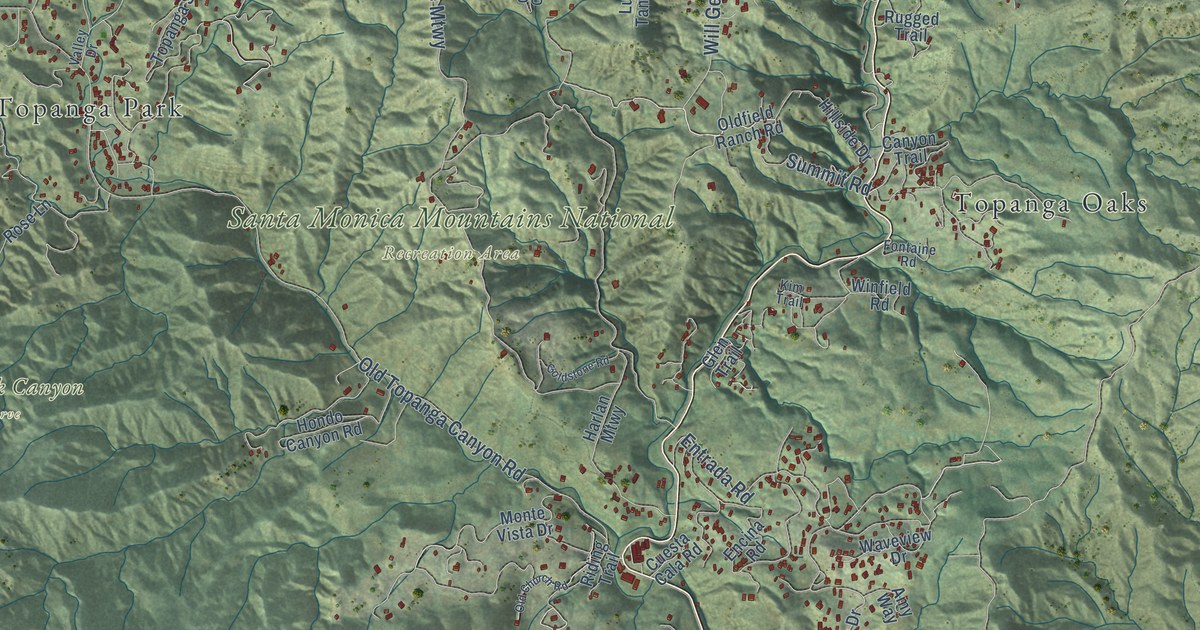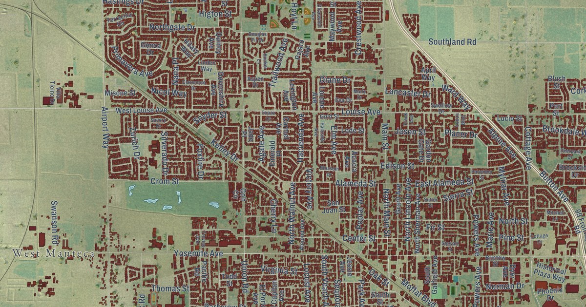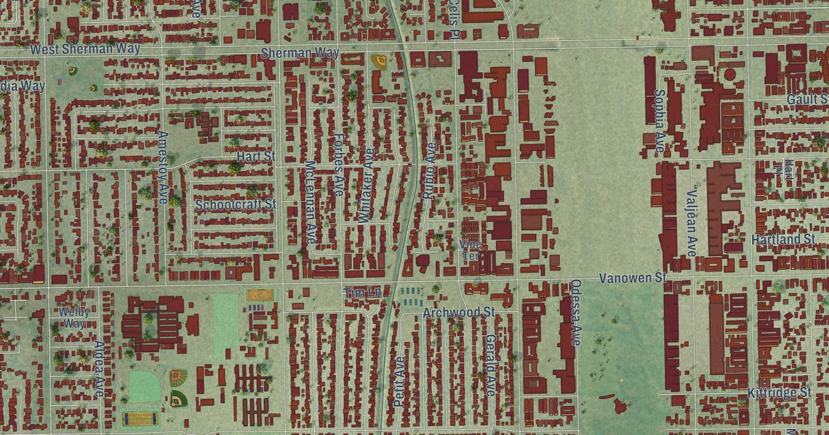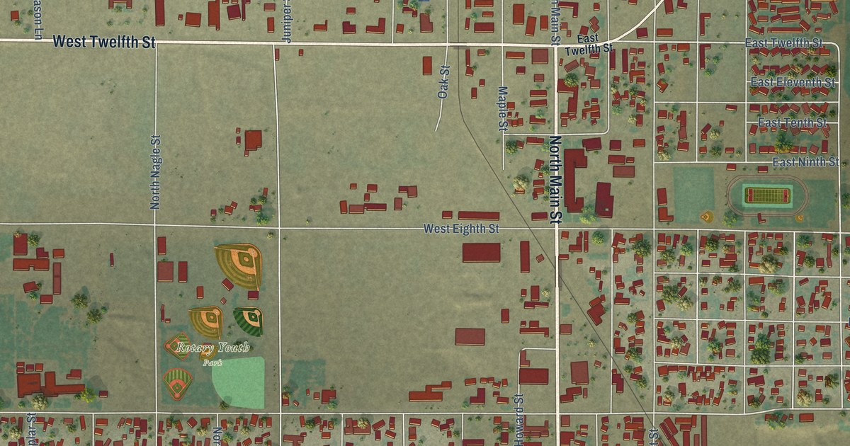
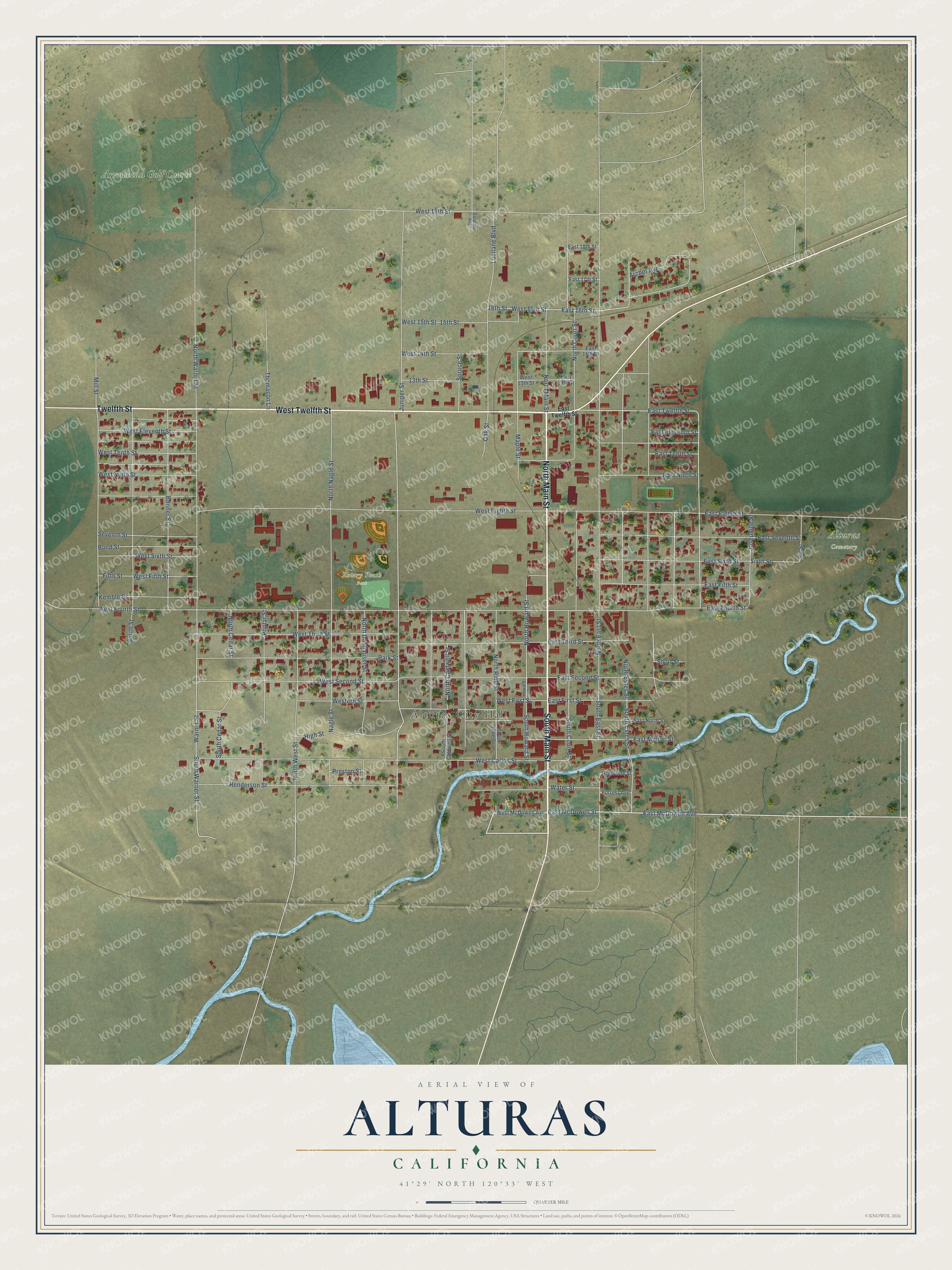
This beautifully detailed map of Alturas, California was created in 2026 using aerial imagery combined with modern topographical, census, street and landmark data. It's a modern aerial view of Alturas in Modoc County, California, that combines modern data with a vintage aesthetic. The roads feature printed names, and if you look closely you can find your exact house accurately shown in its correct location.
Explore an aerial view of Alturas, California
On this map you'll find Alturas City Hall, Rotary Youth Park, Alturas Cemetery, Arrowhead Golf Course, North Main Street, South Main Street, West Twelfth Street, Twelfth Street, East McDowell Avenue, East McDowell Street, East Twelfth Street, West First Street, and more. Each red shape is a building, so zoom in on the preview and look for yours.
Alturas has a story worth telling. The National Register of Historic Places puts it this way: "The construction of Sacred Heart Catholic Church was begun in 1883 when
a Father Patrick Kirley came to Modoc County from Reno, Nevada, and founded the
Roman Catholic parish of Alturas."
Alturas is a city in Modoc County. The Census Bureau counted 2,715 people here in 2020.
Take a closer look at the Alturas map
Names on this map
These names are printed on this map.
Places: Alturas City Hall, Rotary Youth Park, Alturas Cemetery and Arrowhead Golf Course.
Streets and roads: North Main Street, South Main Street, West Twelfth Street, Twelfth Street, East McDowell Avenue, East McDowell Street, East Twelfth Street, West First Street, South Warner Street, North Howard Street, East 16th Street, East Tenth Street.
More street names, A to Z
13th Street, 15th Street, 16th Street, Archer Avenue, Bond Street, Bonner Street, East 13th Street, East 14th Street, East 17th Street, East 18th Street, East Eighth Street, East Eleventh Street, East Fifth Street, East First Street, East Fourth Street, East Modoc Street, East Ninth Street, East North Street, East Second Street, East Seventh Street, East Sixth Street, East Third Street, Fifth Street, Forrest Avenue, Henderson Street, High Street, Howard Street, Josephine Street, Juniper Street, Kemble Street, Lucilane Boulevard, Maple Street, Mill Street, Nagle Street, North Caldwell Street, North Cedar Street, North Court Street, North Danhauser Street, North East Street, North Estes Street, North Nagle Street, North Rine Street, North Warner Street, North West Street, Oak Street, Park Street, Pit Street, Poplar Street, Preston Street, Riverside Street, Saralane Avenue, Seventh Street, Short Street, Sixth Street, Smith Street, South Caldwell Street, South Cedar Street, South Court Street, South East Street, South Estes Street, South Howard Street, South Rine Street, Spruce Street, Thomason Lane, Warner Street, Water Street, West 13th Street, West 14th Street, West 15th Street, West 16th Street, West 19th Street, West Carlos Street, West Eighth Street, West Eleventh Street, Western Street, West Fifth Street, West Fourth Street, West McDowell Avenue, West Ninth Street, West Second Street, West Sixth Street, West Tenth Street, West Third Street.
Created by KNOWOL in 2026. The buildings are small red shapes, the roads carry their printed names, and shaded relief shows the shape of the land. The title panel reads "AERIAL VIEW OF ALTURAS CALIFORNIA" with 41°29' NORTH 120°33' WEST.
It looks right in a kitchen, an office or a den, and it's a gift for anyone who grew up in Alturas or moved away. Open the preview and find your street. See sizes and frames for the Alturas map.