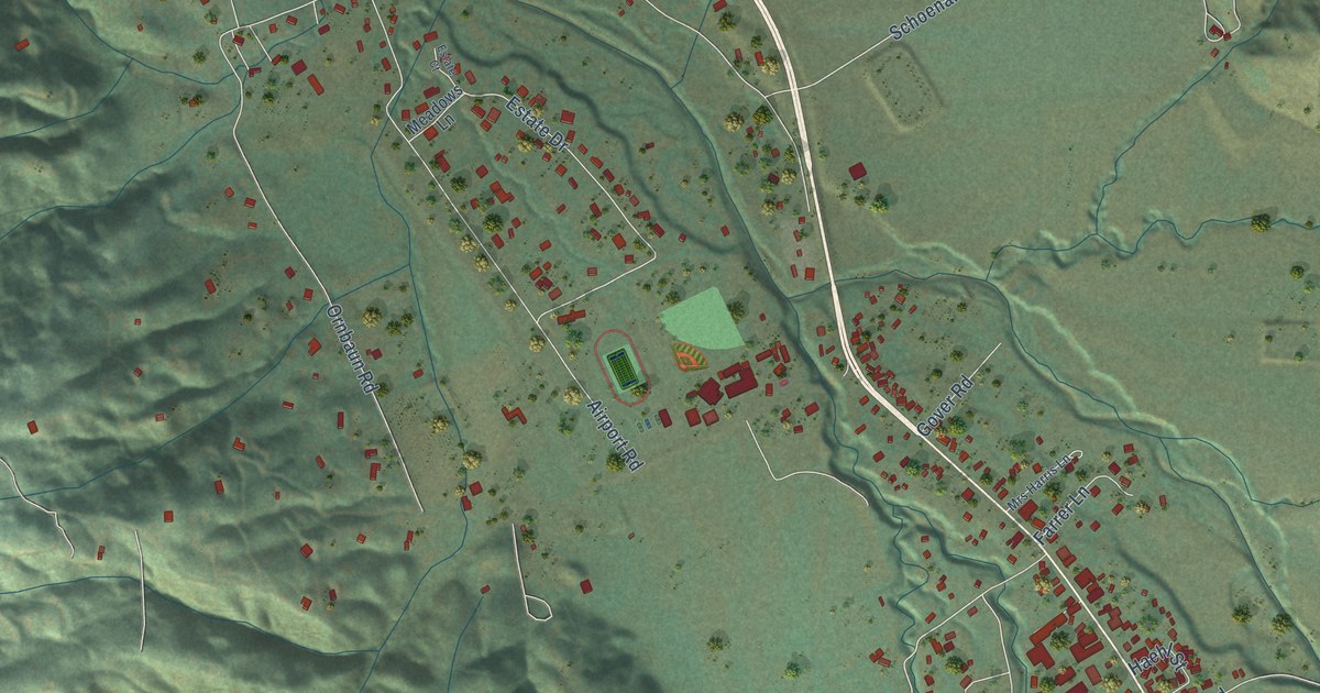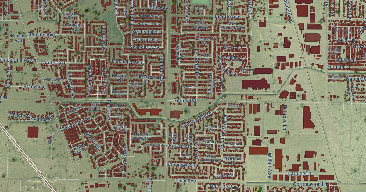
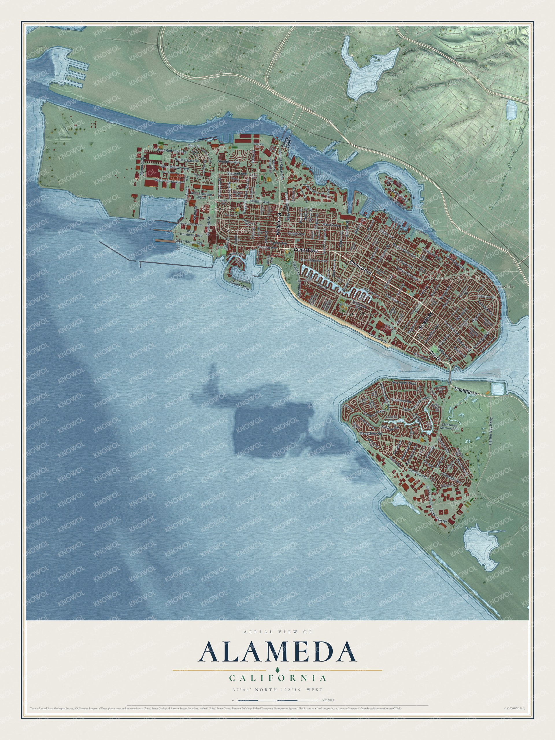
This beautifully detailed map of Alameda, California was created in 2026 using aerial imagery combined with modern topographical, census, street and landmark data. It’s a one-of-a-kind view of Alameda that combines accurate data with a vintage aesthetic. The map shows every building in its true location, many of the roads carry their names, and the shaded topographic relief shows the shape of the land.
Explore an aerial view of Alameda, California
On the map you’ll find Alameda City Hall, Fernside, Woodstock, West End, South Shore, and Broadway, along with Otis Drive, Doolittle Drive, Encinal Avenue, Central Avenue, Webster Street, Harbor Bay Parkway, and more. If you look closely you can even find your house accurately drawn in its correct location. Zoom in on the preview to look for yours.
Did you know this piece of Alameda, California history?
From Ohp.parks.ca.gov: "On September 6, 1869, the first Central Pacific train reached San Francisco Bay at Alameda."
Take a closer look at the Alameda map
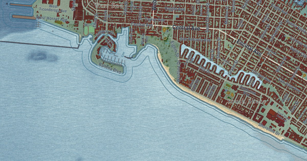
Street and place names on the Alameda, California map
These names are printed on the map of Alameda, California.
Places: Alameda City Hall, Fernside, Woodstock, West End and South Shore.
Streets and roads: Otis Drive, Doolittle Drive, Broadway, Encinal Avenue, Central Avenue, Webster Street, Harbor Bay Parkway, Shoreline Drive, Fernside Boulevard, Constitution Way, Eighth Street, Westline Drive.
More street names, A to Z
Adams Street, Alameda Avenue, Anderson Road, Atlantic Avenue, Aughinbaugh Way, Ballena Boulevard, Barbers Point Road, Bartlett Drive, Bay Street, Bayview Drive, Baywalk Road, Beach Road, Benton Street, Bette Street, Blanding Avenue, Bruzzone Drive, Bryant Avenue, Buena Vista Avenue, Calhoun Street, Cam del Valle, Campbell Boulevard, Catalina Avenue, Cedar Street, Centre Court, Challenger Drive, Channing Way, Chapin Street, Chipman Street, Clay Street, Clement Avenue, Clinton Avenue, Clubhouse Memorial Road, Cola Ballena, Coral Reef Road, Coral Sea Street, Cottage Street, Court Street, Creedon Circle, Crist Street, Crown Drive, Cypress Street, Dayton Avenue, Diller Street, Dublin Way, Eagle Avenue, Eagle Road, Eastshore Drive, Elm Street, Everett Street, Fairview Avenue, Ferry Point, Fifth Street, Fir Avenue, Fontana Drive, Fountain Street, Fourth Street, Garden Road, Garfield Avenue, Gibbons Drive, Glenview Street, Grand Street, Gresham Drive, Grove Street, Haight Avenue, Harvard Drive, Hibbard Street, High Street, Holly Street, Independence Drive, Ironwood Road, Island Drive, Kara Road, Kofman Parkway, Lafayette Street, Lea Court, Lincoln Avenue, Linden Street, Madison Street, Main Street, Maitland Drive, Maple Way, Mariner Square Drive, Mariner Square Lp, Marshall Way, McDonnel Road, McKay Avenue, Mecartney Road, Melrose Avenue, Minturn Street, Mitchell Avenue, Monarch Street, Moreland Drive, Morton Street, Mosley Avenue, Mound Street, Mozart Street, Nason Street, Ninth Street, North Loop Road, North Star Road, Oak Park Drive, Oak Street, Oleander Avenue, Orion Street, Oyster Pond Road, Pacific Avenue, Pan Am Way, Park Avenue, Park Avenue West, Park Street, Paru Street, Pearl Street, Percy Lane, Poggi Street, Pond Isle, Posey Tube, Purcell Drive, Ratto Road, Regent Street, Robert Davey Junior, Saint Charles Street, San Antonio Avenue, Sandcreek Way, Sand Harbor, San Jose Avenue, San Pedro Road, Santa Clara Avenue, Sea Bridge, Sea View Parkway, Sheffield Road, Shell Gate Road, Sherman Street, Silva Lane, Singleton Avenue, Sixth Street, Skyhawk Street, South Loop Road, South Shore Center Road, Spencer Road, Stanton Street, Stardust Place, Stargell Avenue, Sterling Avenue, Sweet Road, Tahiti Lane, Tarryton Isle, Taylor Avenue, Third Street, Tideway Drive, Tonga Lane, Tralee Lane, Triumph Drive, Tucker Avenue, Union Street, Verdemar Drive, Verdi Street, Versailles Avenue, Viking Street, Walnut Street, West Essex Drive, West Hornet Avenue, West Midway Avenue, West Oriskany Avenue, West Ranger Avenue, West Red Line Avenue, West Seaplane Lagoon, West Ticonderoga Avenue, West Tower Avenue, Willow Street, Wood Street.
See the Alameda, California map on a wall
The Alameda map as an 18 x 24 inch print in a black frame.

This beautifully detailed map of Alameda makes an attractive addition to your office, library, or den, and it can even be used to teach children the geography and history of the area. It also makes a great gift for someone who left Alameda and still calls it home. When you’re done exploring, click here to get your copy of the Alameda map.