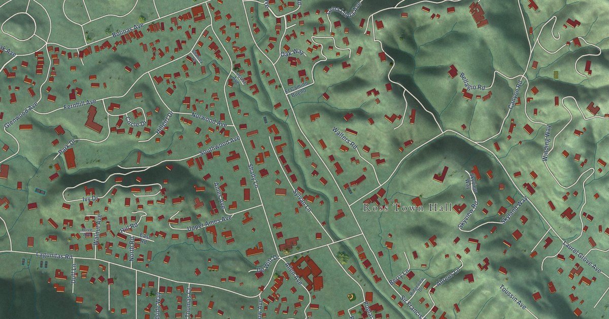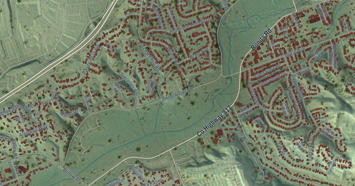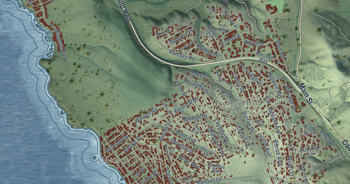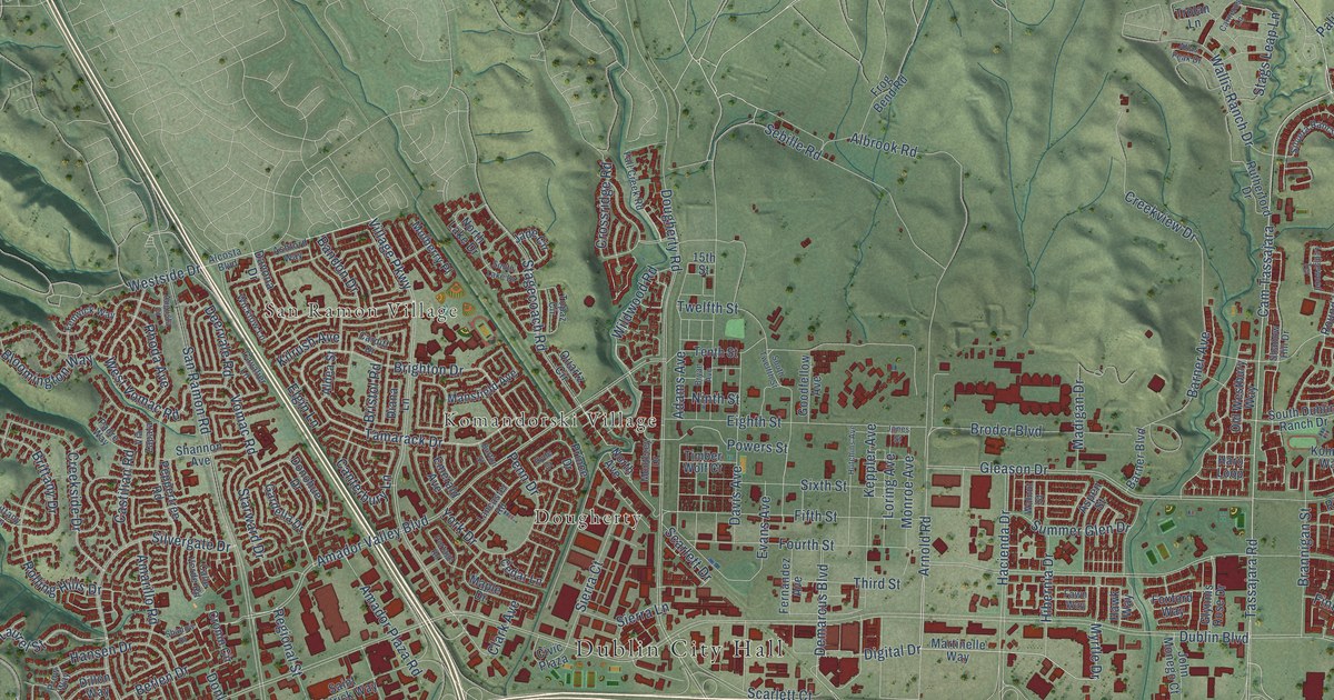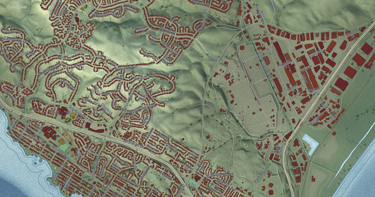
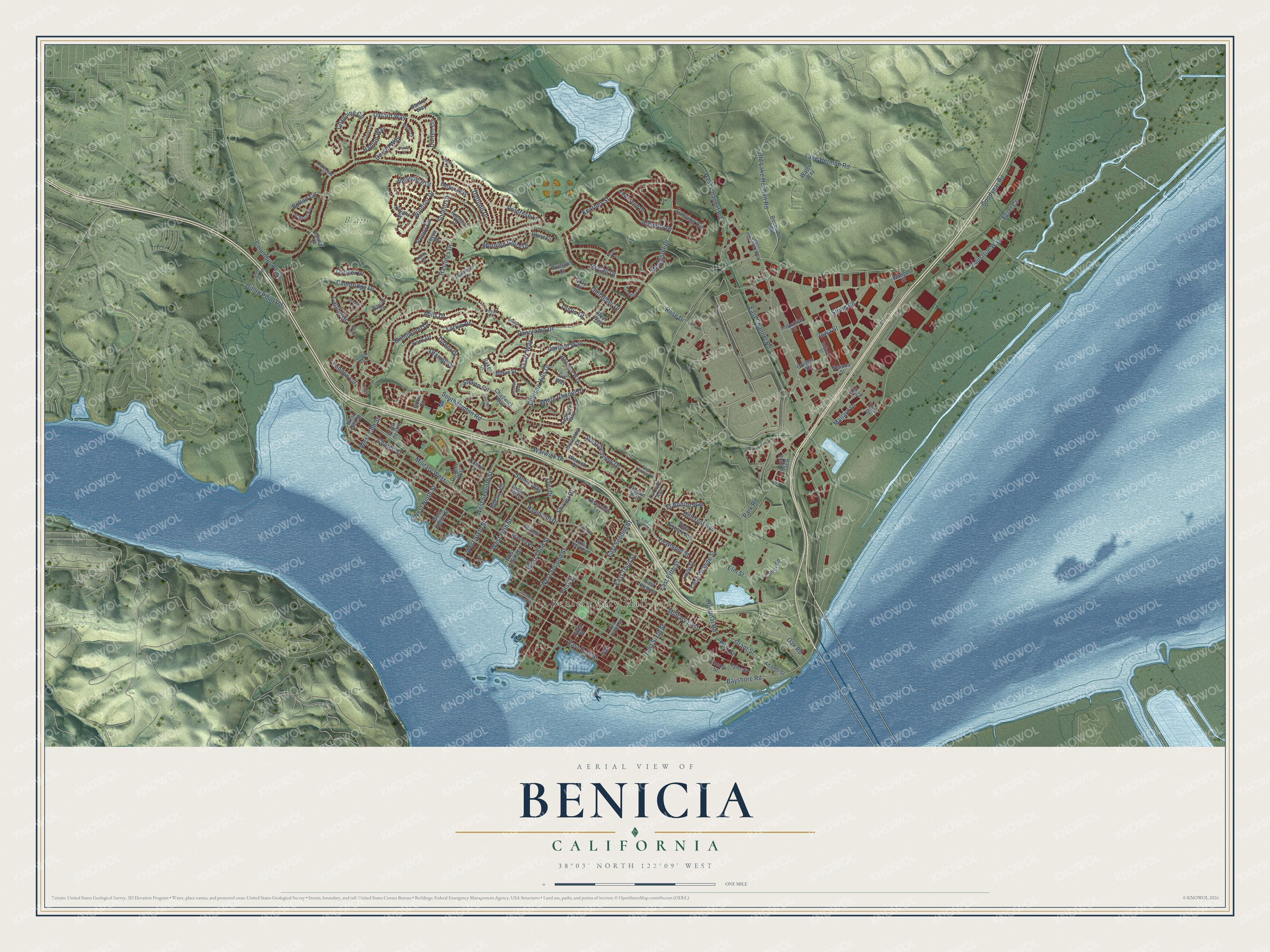
This beautifully detailed map of Benicia, California was created in 2026 using aerial imagery combined with modern topographical, census, street and landmark data. It's a modern aerial view of Benicia in Solano County, California, that combines modern data with a vintage aesthetic. The roads feature printed names, and if you look closely you can find your exact house accurately shown in its correct location.
Explore an aerial view of Benicia, California
On this map you'll find Benicia City Hall, Braito Open Space, Military East, Polk Street, Military West, Grant Street, West Third Street, East Second Street, First Street, Shirley Drive, Industrial Way, Lansing Circle, and more. Each red shape is a building, so zoom in on the preview and look for yours.
Here is a piece of Benicia history, in the words of the record. The record at ohp.parks.ca.gov puts it this way: ", organized the first Presbyterian Church of Benicia, the first Protestant church established in California with an ordained resident pastor."
Benicia is a city in Solano County. The Census Bureau counted 27,131 people here in 2020.
Take a closer look at the Benicia map
Names on this map
These names are printed on this map.
Places: Benicia City Hall and Braito Open Space.
Streets and roads: Military East, Polk Street, Military West, Grant Street, West Third Street, East Second Street, First Street, Shirley Drive, Industrial Way, Lansing Circle, Rose Drive, Lake Herman Road.
More street names, A to Z
Adams Street, Allen Way, Ardmore Way, Arguello Drive, Baker Court, Baker Street, Banbury Way, Bantry Way, Barton Way, Baylor Court, Bayshore Road, Bay Vista Court, Belvedere Drive, Birch Street, Bolton Circle, Bradford Way, Breck Court, Brentwood Drive, Buena Vis, Cambridge Drive, Camel Road, Capitol Drive, Carlisle Way, Carten Circle, Casa Grande Street, Casey Court, Chadwick Way, Channing Circle, Chelsea Hills Drive, Cheryl Drive, Church Street, Clyne Court, Columbia Circle, Columbus Parkway, Cooper Drive, Corcoran Court, Daffodil Drive, Dillon Point Road, Dorset Way, Dover Circle, Drolette Way, Dundee Way, Durham Court, Duvall Court, East Channel Road, East East Street, East Fifth Street, East Fourth Street, East North Street, East Sixth Street, East South Street, East Tennys Drive, East Third Street, Egret Court, El Bonito Way, Elm Street, Essex Way, Fuchsia Drive, Gallagher Drive, Gill Way, Gloria Way, Goodyear Road, Gordon Court, Gray Court, Grove Circle, Hanlon Way, Hastings Drive, Havenhill Drive, Hawthorne Lane, Hillcrest Avenue, Hospital Road, Incline Place, Indiana Street, Industrial Court, Iowa Street, James Court, Kearney Street, Kerry Court, Knight Drive, Labrador Lane, La Cruz Avenue, Larkin Drive, Lincoln Street, Lindo Street, London Circle, London Drive, Lori Drive, Lupine Court, Mallard Drive, Marina Place, Mayo Court, McAllister Drive, McCall Drive, Mills Drive, Morning Glory Drive, Nevada Street, Oak, Oak Road, Ofarrell Drive, Old Lake Herman Road, Oregon Street, Oxford Way, Palace Court, Panorama Drive, Park Road, Plaza de Oro, Poppy Circle, Primrose Lane, Rankin Way, Raymond Drive, Reservoir Road, Riverview Terrace, Sandy Way, Semple Crossing, Solano Drive, Southampton Road, State Park Road, Steven Circle, Stone Road, Stuart Court, Teal Court, Teal Drive, Townsend Drive, Toyon Place, Turner Drive, Tustin Court, Tyler Street, Viewmont Street, Violet Court, Vista Grande Avenue, Wanger Street, Warrick Drive, Warwick Drive, Water Way, Watson Court, West 13th Street, West 14th Street, West Channel Road, West Eighth Street, West Fifth Street, West Fourth Street, West Industrial Way, West Ninth Street, West North Street, West Seaview Drive, West Second Street, West Seventh Street, West Sixth Street, White Chapel Drive, Windsor Drive, York Drive.
Created by KNOWOL in 2026. The buildings are small red shapes, the roads carry their printed names, and shaded relief shows the shape of the land. The title panel reads "AERIAL VIEW OF BENICIA CALIFORNIA" with 38°03' NORTH 122°09' WEST.
It suits a den, a classroom or a front hall, and it makes a gift for anyone with Benicia roots. Open the preview and find the block you know. See sizes and frames for the Benicia map.