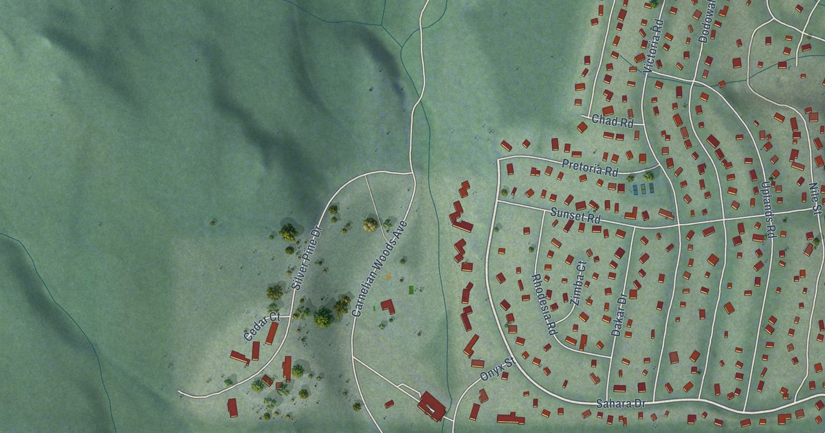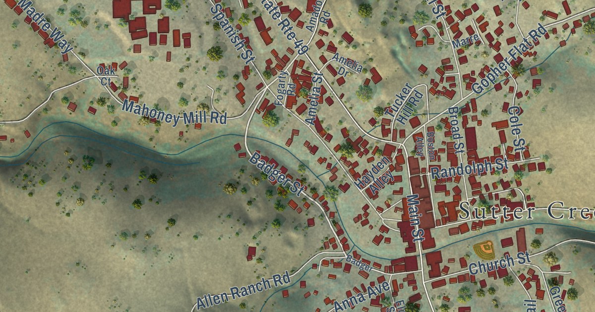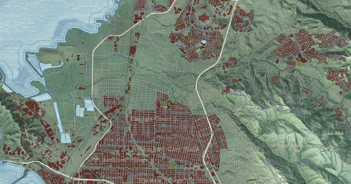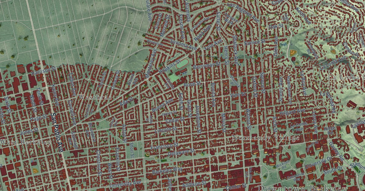
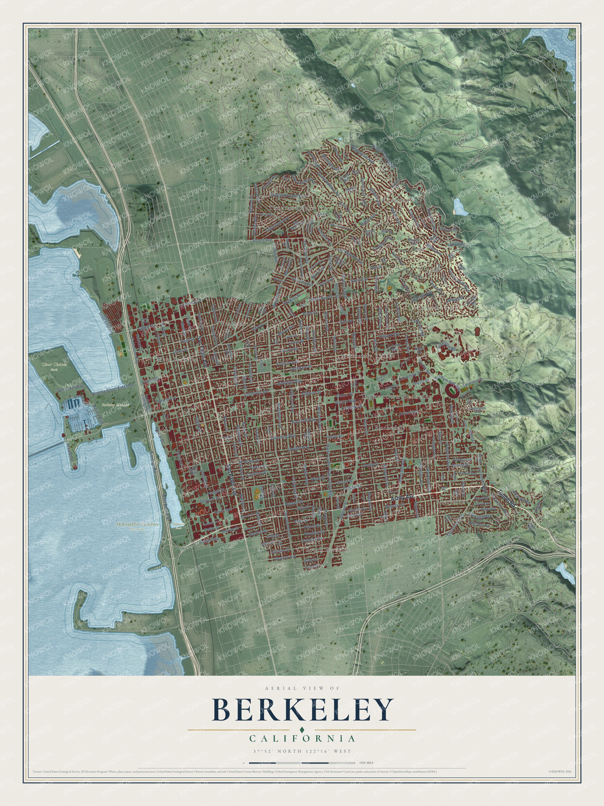
This beautifully detailed map of Berkeley, California was created in 2026 using aerial imagery combined with modern topographical, census, street and landmark data. It’s a one-of-a-kind view of Berkeley that combines accurate data with a vintage aesthetic. The map shows every building in its true location, many of the roads carry their names, and the shaded topographic relief shows the shape of the land.
Explore an aerial view of Berkeley, California
On the map you’ll find Downtown Berkeley, Claremont, Cragmont, La Loma Park, Aquatic Park, Berkeley Meadow, César Chávez Park, McLaughlin Eastshore State Park, Normandy Village, Rochedale Village, South Berkeley, Thousand Oaks, and more. If you look closely you can even find your house accurately drawn in its correct location. Zoom in on the preview to look for yours.
Did you know this piece of Berkeley, California history?
From the California State Parks: "The Berkeley City Club was organized by women in 1927, to contribute to social, civic, and cultural progress. The building, constructed in 1929, is one of the outstanding works of noted California architect Julia Morgan, whose interpretation of Moorish and Gothic elements created a landmark of California design."
Take a closer look at the Berkeley map
Street and place names on the Berkeley, California map
These names are printed on the map of Berkeley, California.
Places: Downtown Berkeley, Claremont, Cragmont, La Loma Park, Aquatic Park, Berkeley Meadow, César Chávez Park, McLaughlin Eastshore State Park, Normandy Village, Rochedale Village, South Berkeley, Thousand Oaks, West Berkeley and Westbrae.
Streets and roads: Ashby Avenue, Tunnel Road, San Pablo Avenue, Euclid Avenue, Grizzly Peak Boulevard, Piedmont Avenue, Gayley Road, Stadium Rim Way, South Drive, Park Hills Road, Wildcat Canyon Road, Claremont Boulevard.
More street names, A to Z
62nd Street, 63rd Street, 66th Street, 67th Street, Acacia Avenue, Acacia Walk, Acton Street, Ada Street, Addison Street, Adeline Street, Ajax Place, Albina Avenue, Alcatraz Avenue, Allston Way, Alta Road, Alvarado Road, Anthony Street, Arch Street, Arden Road, Arlington Avenue, Ashby Place, Avalon Avenue, Avenida Drive, Baker Street, Bancroft Way, Belrose Avenue, Belvedere Avenue, Benvenue Avenue, Berkeley Way, Berryman Street, Beverly Place, Blake Street, Bolivar Drive, Bonar Street, Bonita Avenue, Boynton Avenue, Breakwater Drive, Browning Street, Buchanan Street Extended, Buena Avenue, Burnett Street, Byron Street, California Street, Campanile Way, Campus Drive, Canyon Road, Capistrano Avenue, Carleton Street, Carlotta Avenue, Carrison Street, Cedar Street, Centennial Drive, Center Street, Channing Way, Chaucer Street, Cherry Street, Chestnut Street, Claremont Avenue, College Avenue, Colusa Avenue, Contra Costa Avenue, Cornell Avenue, Cragmont Avenue, Creston Road, Curtis Street, Cutter Way, Cyclotron Road, Dana Street, Deakin Street, Delaware Street, Derby Street, Dohr Street, Durant Avenue, Dwight Way, Easter Way, Eastshore Frontage Road, Eastshore Highway, Edith Street, Edwards Street, Eighth Street, El Camino Real, El Dorado Avenue, Ellis Street, Ellsworth Street, Emerson Street, Essex Street, Essex Way, Etna Street, Eton Avenue, Eunice Street, Fairlawn Drive, Fairview Street, Fifth Street, Folger Avenue, Forest Avenue, Fourth Street, Francisco Street, Franklin Street, Fresno Avenue, Frontage Road, Fulton Street, Garber Street, Gilman Street, Glen Avenue, Grant Street, Grayson Street, Halkin Lane, Harmon Street, Harper Street, Harrison Street, Haskell Street, Haste Street, Haviland Road, Hawthorne Terrace, Hazel Road, Hearst Avenue, Heinz Avenue, Henry Street, High Court, Hilgard Avenue, Hillcrest Road, Hilldale Avenue, Hillegass Avenue, Hill Road, Hillside Avenue, Hillview Road, Holly Street, Hopkins Street, Howe Street, Indian Rock Avenue, Jaynes Street, Jefferson Avenue, Jones Street, Josephine Street, Juanita Way, Julia Street, Kains Avenue, Kala Bagai Way, Keeler Avenue, Keith Avenue, Kelsey Street, King Street, Kittredge Street, La Loma Avenue, La Vereda Road, Le Conte Avenue, Le Roy Avenue, Leroy Avenue, Lincoln Street, Linden Avenue, Lorina Street, Los Angeles Avenue, Mabel Street, Marina Boulevard, Marin Avenue, Martin Luther King Junior Way, Mathews Street, McGee Avenue, McKinley Avenue, Merced Street, Michigan Avenue, Miller Avenue, Milvia Street, Modoc Street, Monterey Avenue, Montrose Road, Muir Way, Murray Street, Napa Avenue, Neilson Street, Newbury Street, Ninth Street, Northside Avenue, Oak Street, Oakvale Avenue, Ordway Street, Oregon Street, Otis Street, Overlook Road, Oxford Street, Page Street, Panoramic Way, Pardee Street, Parker Street, Park Street, Park Way, Peralta Avenue, Pine Avenue, Plaza Drive, Portland Avenue, Potter Street, Prince Street, Prospect Street, Queens Road, Regal Road, Regent Street, Ridge Road, Roble Road, Rock Lane, Roosevelt Avenue, Rose Street, Russell Street, Sacramento Street, San Antonio Avenue, San Benito Road, San Luis Road, San Pedro Avenue, Santa Barbara Road, Scenic Avenue, Seawall Drive, Second Street, Seventh Street, Shasta Road, Shattuck Avenue, Shattuck Place, Short Street, Sierra Street, Sixth Street, Solano Avenue, Somerset Place, Sonoma Avenue, Spaulding Avenue, Spinnaker Way, Sport Lane, Spruce Street, Stannage Avenue, Sterling Avenue, Stuart Street, Summit Road, Sunset Lane, Sutter Street, Talbot Avenue, Tamalpais Road, Telegraph Avenue, Tenth Street, Terrace Walk, Tevlin Street, The Alameda, The Uplands, Thousand Oaks Boulevard, Tulare Avenue, Tyler Street, University Avenue, University Drive, Vallejo Street, Valley Street, Vassar Avenue, Vicente Road, Vincente Avenue, Vine Street, Virginia Street, Virginia Street Extended, Wallace Street, Walnut Street, Ward Street, Warring Street, Webster Street, West Bolivar Drive, West Street, Wheeler Street, Wickson Road, Woodmont Avenue, Woolsey Street, Yolo Avenue.
See the Berkeley, California map on a wall
The Berkeley map as an 18 x 24 inch print in a black frame.

This beautifully detailed map of Berkeley makes an attractive addition to your office, library, or den, and it can even be used to teach children the geography and history of the area. It also makes a great gift for someone who left Berkeley and still calls it home. When you’re done exploring, click here to get your copy of the Berkeley map.