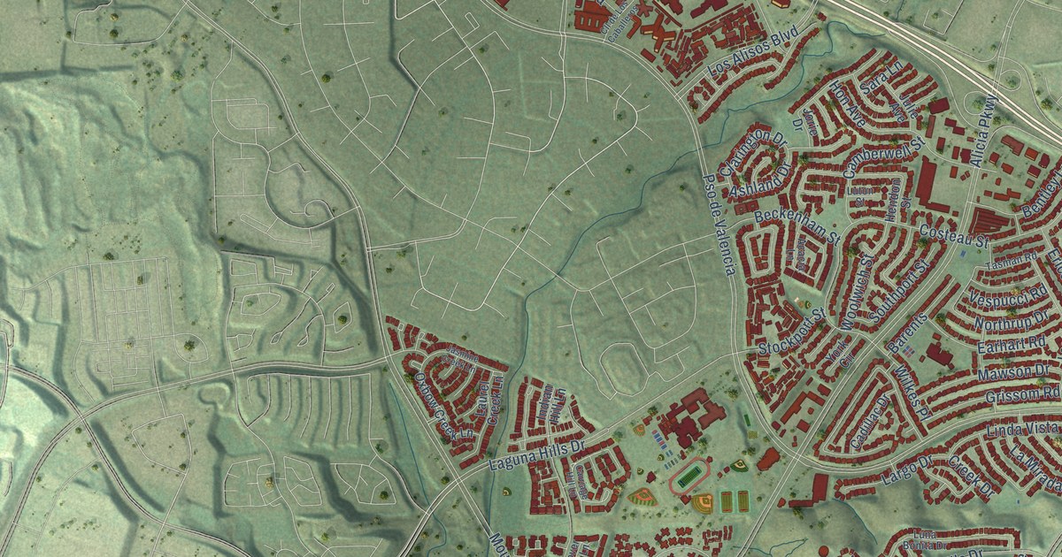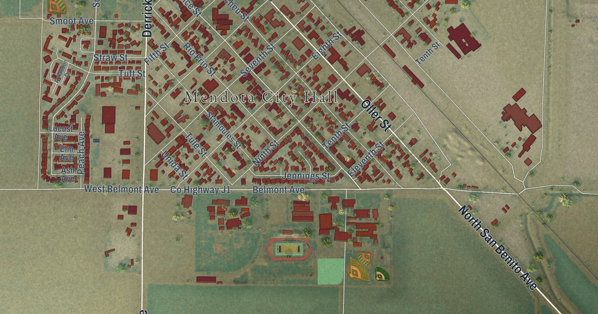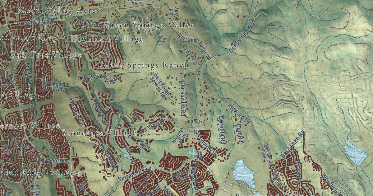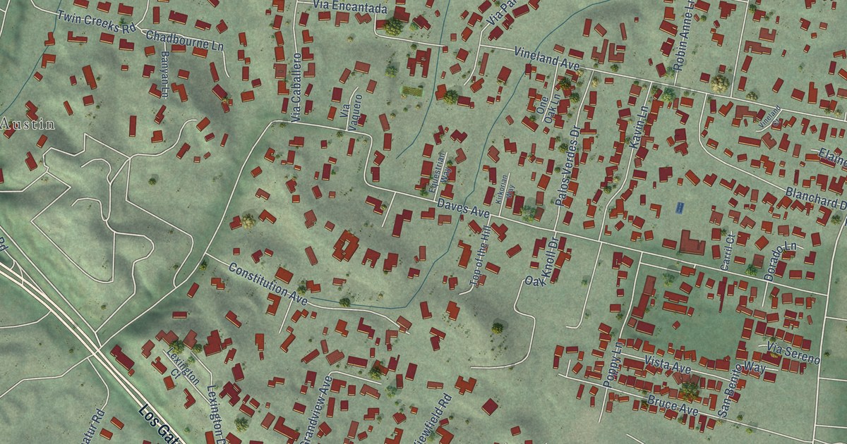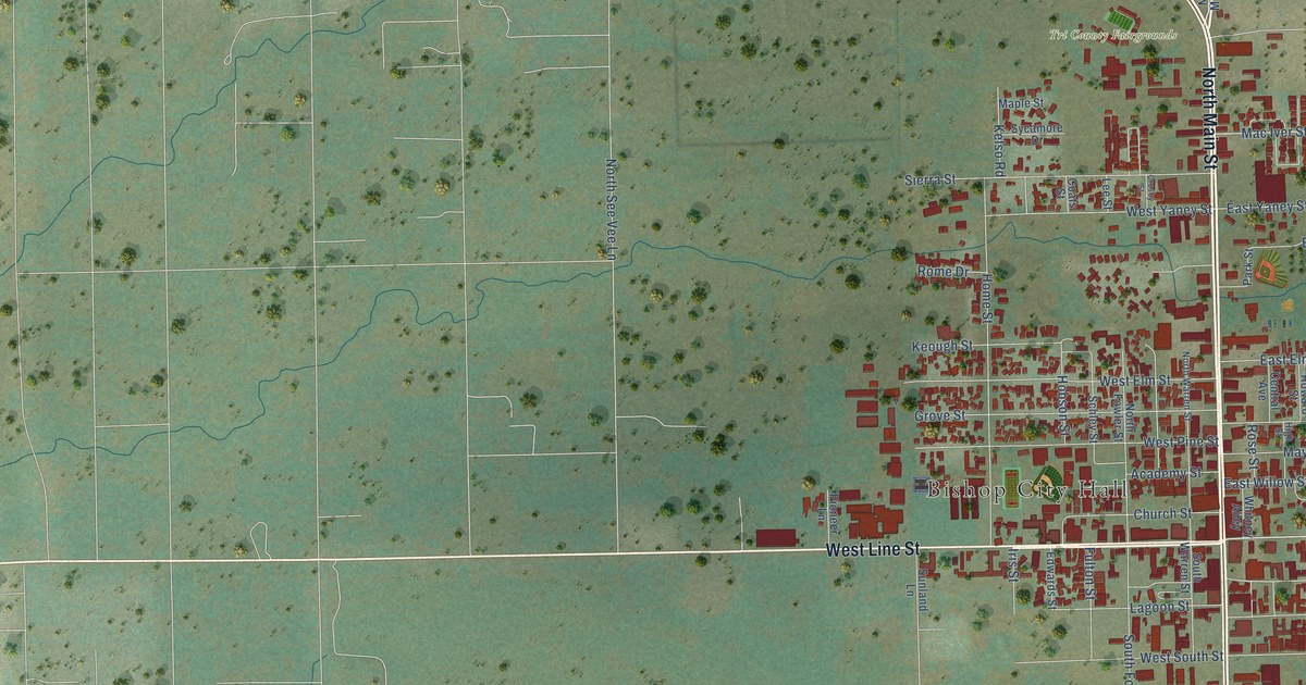
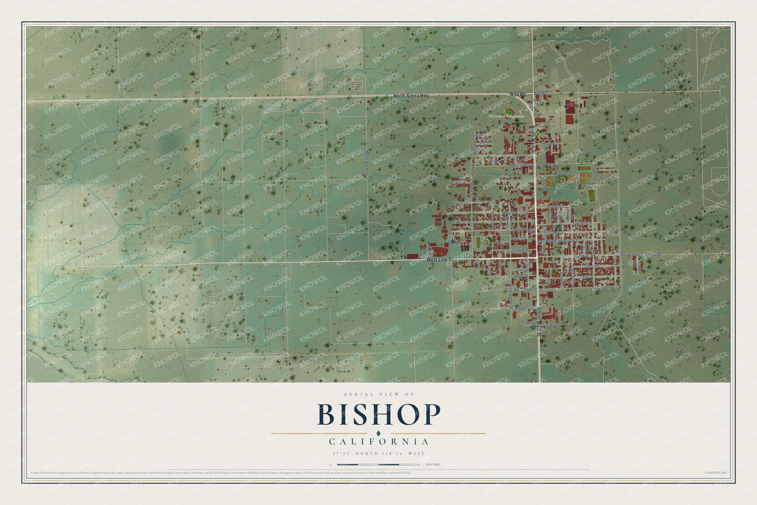
This beautifully detailed map of Bishop, California was created in 2026 using aerial imagery combined with modern topographical, census, street and landmark data. It's a modern aerial view of Bishop in Inyo County, California, that combines modern data with a vintage aesthetic. The roads feature printed names, and if you look closely you can find your exact house accurately shown in its correct location.
Explore an aerial view of Bishop, California
On this map you'll find Bishop City Hall, Bishop Trail Park, Tri County Fairgrounds, North Main Street, North Sierra Highway, West Line Street, Wye Road, South Main Street, Highway 168, South Third Street, East Yaney Street, East Line Street, and more. Each red shape is a building, so zoom in on the preview and look for yours.
Bishop has a story worth telling. The City of Bishop puts it this way: "As mines were established and grew, so did their need for stock and produce. Due to transportation difficulties, farms close to the mines were most desirable and, with its water, Bishop’s value as an agricultural center close to the mines became recognized."
Bishop is a city in Inyo County. The Census Bureau counted 3,819 people here in 2020.
Take a closer look at the Bishop map
Names on this map
These names are printed on this map.
Places: Bishop City Hall, Bishop Trail Park and Tri County Fairgrounds.
Streets and roads: North Main Street, North Sierra Highway, West Line Street, Wye Road, South Main Street, Highway 168, South Third Street, East Yaney Street, East Line Street, Spruce Street, Home Street, Hanby Avenue.
More street names, A to Z
Academy Street, Bruce Street, Bush Street, Central Avenue, Church Street, Clarke Street, Coats Street, Crosby Street, East Elm Street, East Jay Street, East Pine Street, East South Street, East Willow Street, Edwards Street, First Street, Fulton Street, Grove Street, High Street, Hobson Street, Howard Street, Iris Street, Johnston Drive, Kelso Road, Keough Street, Lagoon Street, Lee Street, Mac Iver Street, Mandich Street, Maple Street, May Street, Moffett Drive, North Fowler Street, North Second Street, North See Vee Lane, North Third Street, North Warren Street, Park Street, Pioneer Lane, Poleta Road, Rome Drive, Rose Street, Schley Street, Short Street, Sierra Street, Sneden Street, South Fowler Street, South Warren Street, Sunland Lane, Sycamore Drive, West Elm Street, West Jay Street, West Pine Street, West South Street, West Yaney Street, Whitney Alley, Willow Street.
Created by KNOWOL in 2026. The buildings are small red shapes, the roads carry their printed names, and shaded relief shows the shape of the land. The title panel reads "AERIAL VIEW OF BISHOP CALIFORNIA" with 37°22' NORTH 118°24' WEST.
It looks right in a kitchen, an office or a den, and it's a gift for anyone who grew up in Bishop or moved away. Open the preview and find your street. See sizes and frames for the Bishop map.