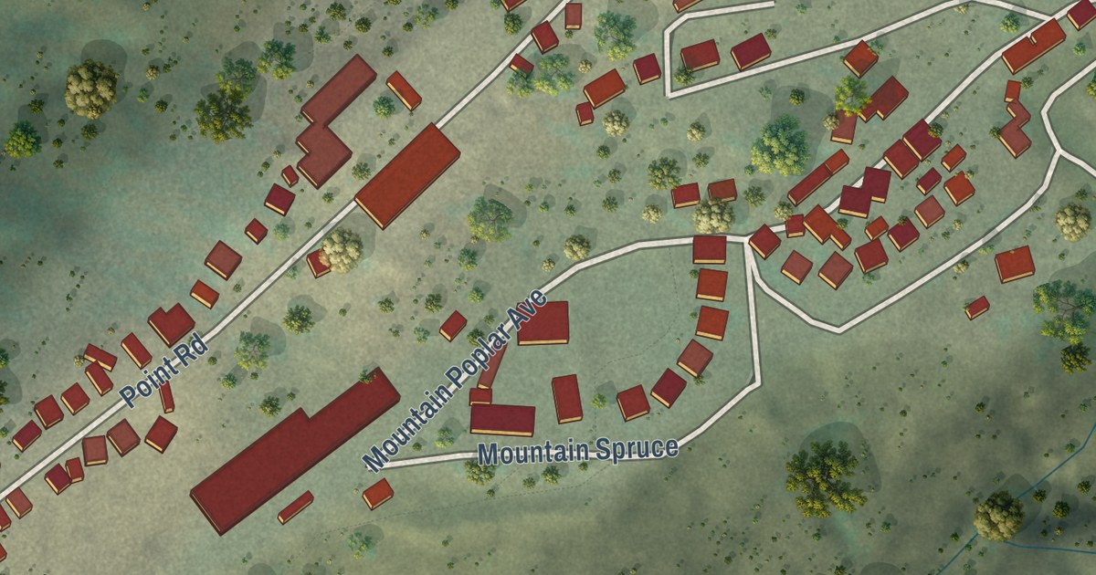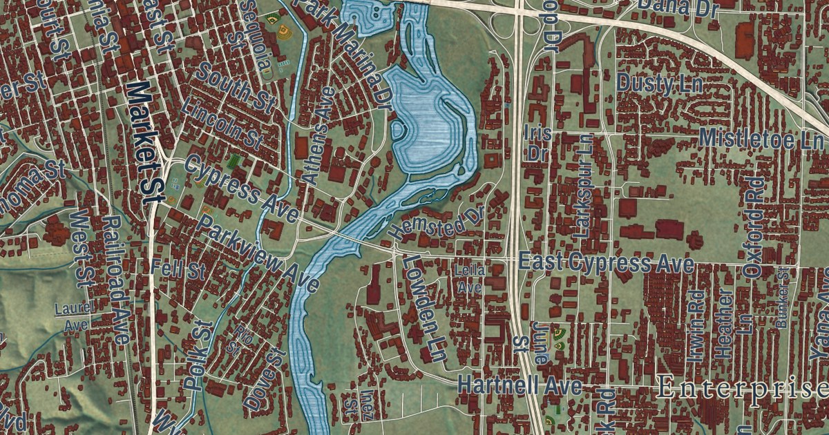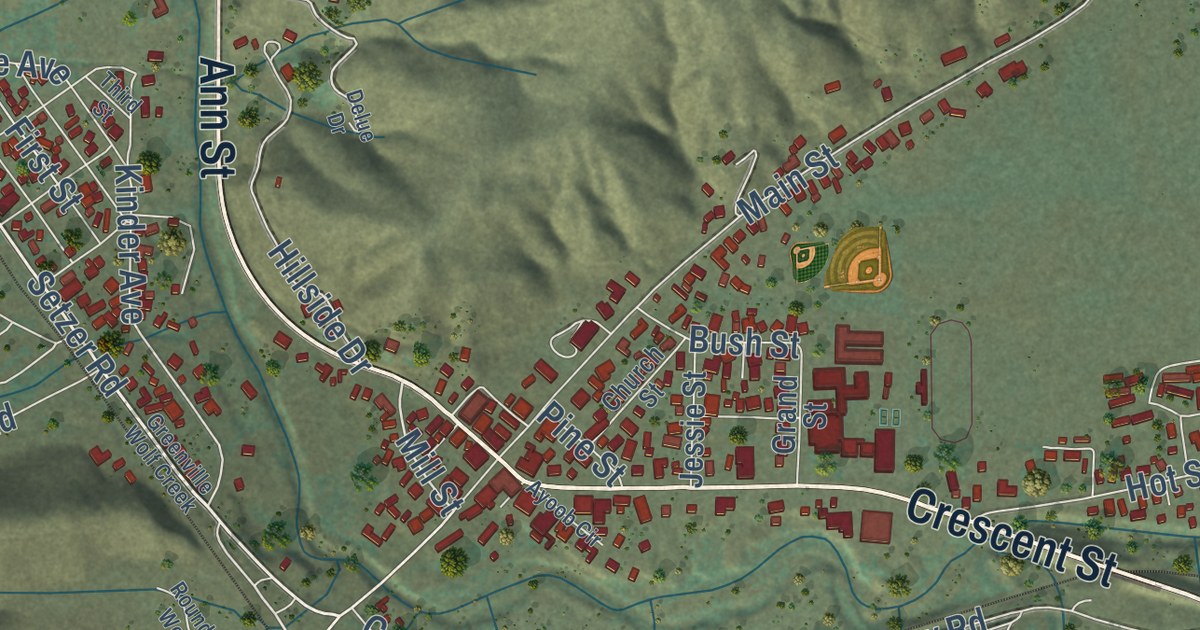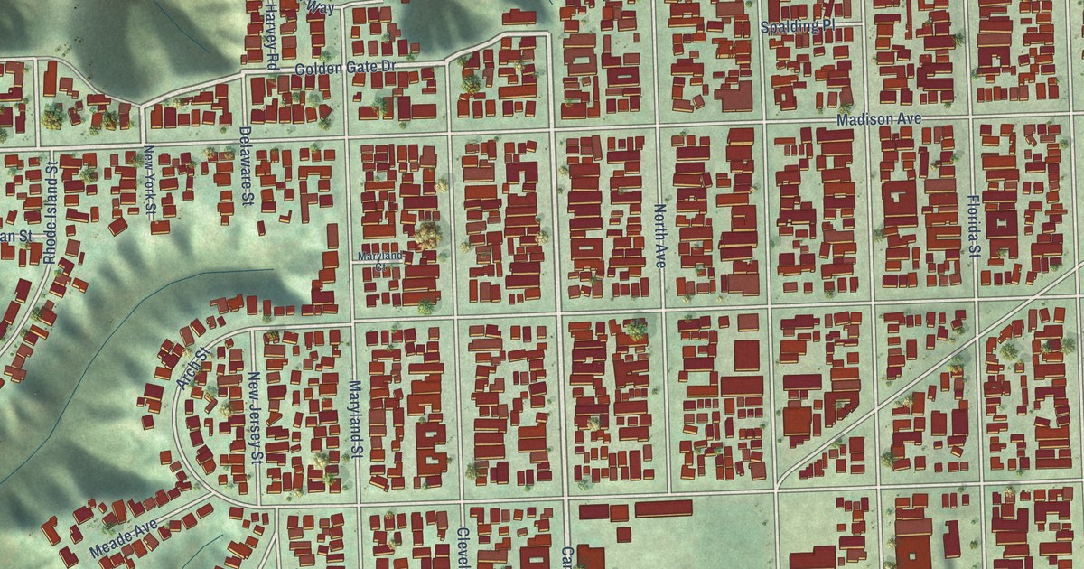
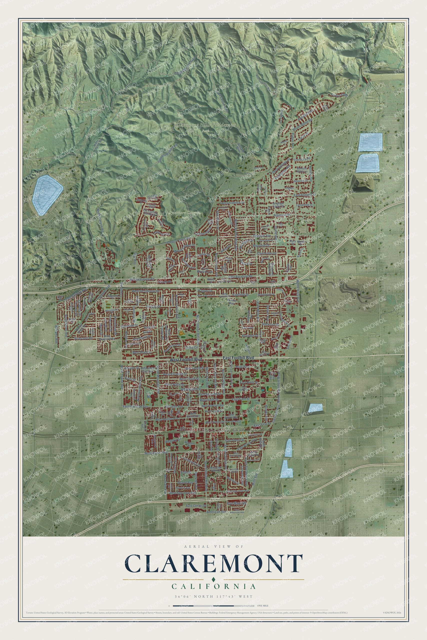
This beautifully detailed map of Claremont, California was created in 2026 using aerial imagery combined with modern topographical, census, street and landmark data. It’s a one-of-a-kind view of Claremont that combines accurate data with a vintage aesthetic. The map shows every building in its true location, many of the roads carry their names, and the shaded topographic relief shows the shape of the land.
Explore an aerial view of Claremont, California
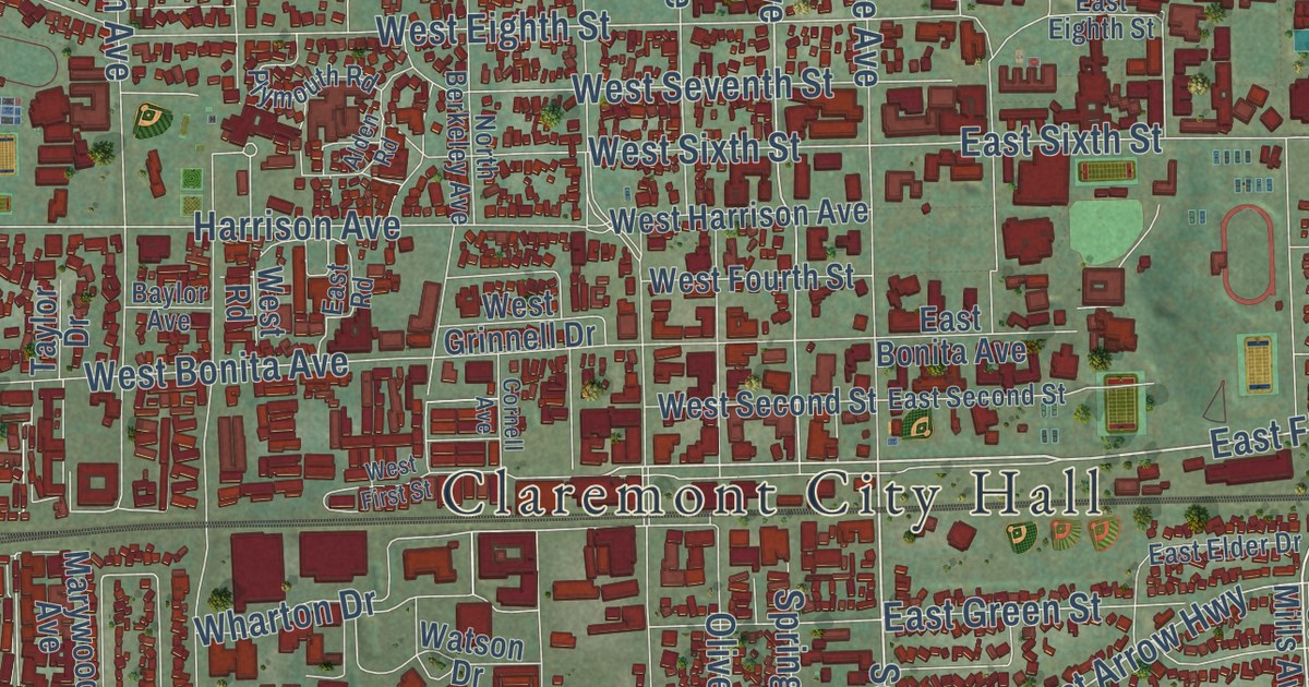
On the map you’ll find Claremont City Hall, Claremont Hills Wilderness Park, and Sycamore Canyon Park, along with East Foothill Boulevard, West Foothill Boulevard, South College Avenue, North Harvard Avenue, Mills Avenue, Claremont Boulevard, North Garey Avenue, American Avenue, East First Street, and more. If you look closely you can even find your house accurately drawn in its correct location. Zoom in on the preview to look for yours.
Did you know this piece of Claremont, California history?
From the Claremont Colleges Archives: "The railroad reached San Bernardino in 1883 and Los Angeles in 1885, and the town site of Claremont was one of several small developments that emerged along this route and new railway connection with the East."
Take a closer look at the Claremont map
Street and place names on the Claremont, California map
These names are printed on the map of Claremont, California.
Places: Claremont City Hall, Claremont Hills Wilderness Park and Sycamore Canyon Park.
Streets and roads: East Foothill Boulevard, West Foothill Boulevard, South College Avenue, East First Street, Mills Avenue, North Garey Avenue, American Avenue, North Harvard Avenue, East College Way, West Arrow Highway, Wharton Drive, East Arrow Highway.
More street names, A to Z
Abilene Way, Adirondack Lane, Alamosa Drive, Alamosa Place, Alden Road, Alfred Drive, Amador Street, Amarillo Drive, Amherst Street, Andrew Drive, Antioch Road, Appalachian, Armstrong Drive, Aurora Drive, Auto Center Drive, Ball Drive, Baylor Avenue, Belmont Abbey Lane, Benedict Avenue, Blaisdell Drive, Bluefield Drive, Blue Mountain Way, Brescia Avenue, Briarcroft Road, Bridgeport Avenue, Brigham Young Drive, Brooks Avenue, Bryn Mawr Road, Bucknell Avenue, Burbank Mtwy, Butte Street, Carleton Avenue, Carnegie Avenue, Cascade Place, Charleston Drive, Cinderella Drive, Claremont Boulevard, Claremont Heights Drive, Clemson Avenue, Cobal Canyon Mtwy, Cobal Cyn Fire Trail, Colby Circle, Colgate Place, Converse Avenue, Cornell Avenue, Danbury Road, Deep Springs Drive, Denver Avenue, Doane Avenue, Drake Avenue, Duke Avenue, East American Avenue, East Baseline Road, East Bonita Avenue, East Eighth Street, East Elder Drive, East Green Street, East Harrison Avenue, East Morelia Drive, East Ninth Street, East Oak Park Drive, East Pomello Drive, East Radcliffe Drive, East Road, East San Jose Avenue, East Second Street, East Sixth Street, East Villanova Drive, Elmira Avenue, Fergus Falls, Ferris Street, Finecroft Drive, Flat River, Fuller Drive, Geneva Avenue, Glen Way, Grand Avenue, Harrison Avenue, Hendrix Avenue, Highpoint Drive, Hollins Avenue, Hood Drive, Huron Place, Independence Drive, Johnson Pasture Road, Julliard Drive, Kemper Avenue, Kent Drive, King Way, La Junta Drive, Lake Forest Drive, Lamar Drive, Lamonette Street, Lander Circle, Las Casas Avenue, Lealma Avenue, Lee Avenue, Limestone Road, Lindenwood Drive, Longwood Avenue, Lowell Avenue, Lynoak Drive, Marjorie Avenue, Martin Way, Maryhurst Drive, Mary Place, Marywood Avenue, Meredith Street, Michigan Drive, Miller Ranch Road, Miramar Avenue, Moab Drive, Montana Lane, Monte Vista Avenue, Monticello Road, Moody Place, Morgan Avenue, Morningside Drive, Morton Circle, Mountain Avenue, Mount Baldy Road, Mount Carmel Drive, Mural Drive, North Berkeley Avenue, North Bonnie Brae Avenue, North Claremont Boulevard, North College Avenue, North Dartmouth Avenue, North Forbes Avenue, North Indian Hill Boulevard, North Lafayette Road, North La Paz Drive, North Mills Avenue, North Mountain Avenue, North Oxford Avenue, North Towne Avenue, North Wells Avenue, Northwestern Avenue, North Yale Avenue, Norwich Drive, Oak Hollow Road, Ohio Drive, Olive Street, Olympic Court, Ottawa Drive, Padua Avenue, Peninsula Avenue, Piedmont Mesa Road, Pitzer Svc Road, Platt Boulevard, Plymouth Road, Radcliffe Drive, Radford Avenue, Redlands Avenue, Rhodelia Avenue, Rider Court, Ridgefield Drive, Rockford Drive, Rosemount Avenue, Sage Street, San Andres Way, San Angelo Drive, Scottsbluff Drive, Scripps Drive, Sebastopol Street, Shelter Grove Drive, Shenandoah Drive, Simmons Court, Smith Drive, South Carleton Avenue, South Indian Hill Boulevard, South Mills Avenue, South Sycamore Avenue, Springfield Street, Spring Street, Sumner Avenue, Sweetbriar Drive, Syracuse Drive, Taylor Drive, Tenango Road, Thompson Creek Road, Towne Avenue, Trevecca Place, Trinity Lane, Tulane Road, Tulsa Avenue, Valparaiso Drive, Vassar Street, Via Padova, Via San Simon, Via Santa Catarina, Via Zurita Street, Victoria Place, Villa Maria Road, Vincennes Court, Virginia Road, Vista Drive, Vía Espirito Santos Street, Wagner Drive, Warner Street, Watson Drive, Webb Canyon Road, Wesley Way, West Baseline Road, West Bonita Avenue, West Briarcroft Road, West Eighth Street, West Eleventh Street, West First Street, West Fork Palmer Mtwy, West Fourth Street, West Grinnell Drive, West Harrison Avenue, West Monterrey Drive, West Ninth Street, West Oak Park Drive, West Occidental Drive, West Point Drive, West Purdue Drive, West Radcliffe Drive, West Reed Drive, West Road, West San Jose Avenue, West Santa Clara Avenue, West Second Street, West Seventh Street, West Silver Tree Road, West Sixth Street, West Tenth Street, West Twelfth Street, Whittier Avenue, Wiley Court, Williams Avenue, Woodbend Drive, Yankton Avenue, Yuba Lane.
See the Claremont, California map on a wall
The Claremont map as an 18 x 24 inch print in a black frame.

This beautifully detailed map of Claremont makes an attractive addition to your office, library, or den, and it can even be used to teach children the geography and history of the area. It also makes a great gift for anyone with Claremont roots. When you’re done exploring, click here to get your copy of the Claremont map.