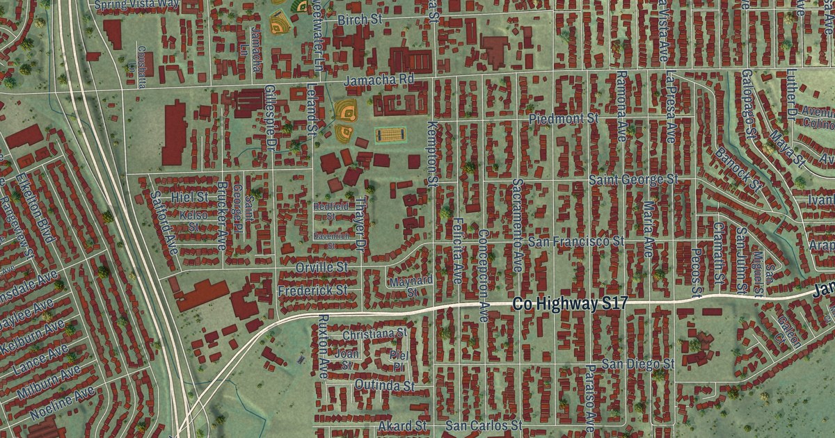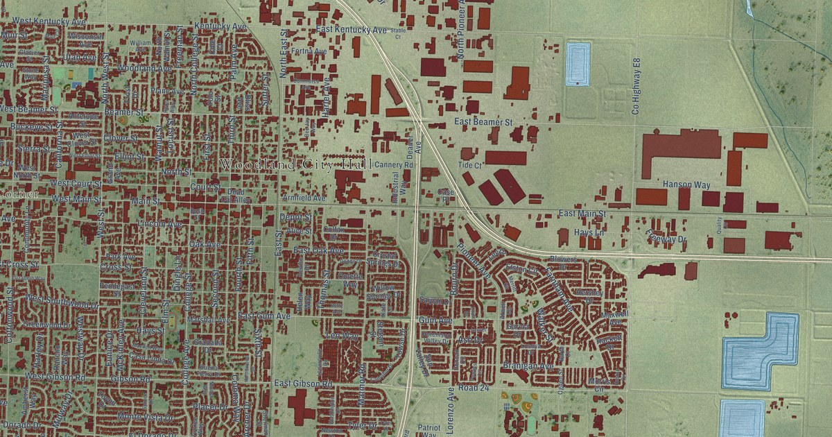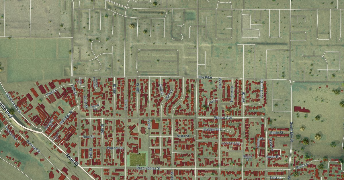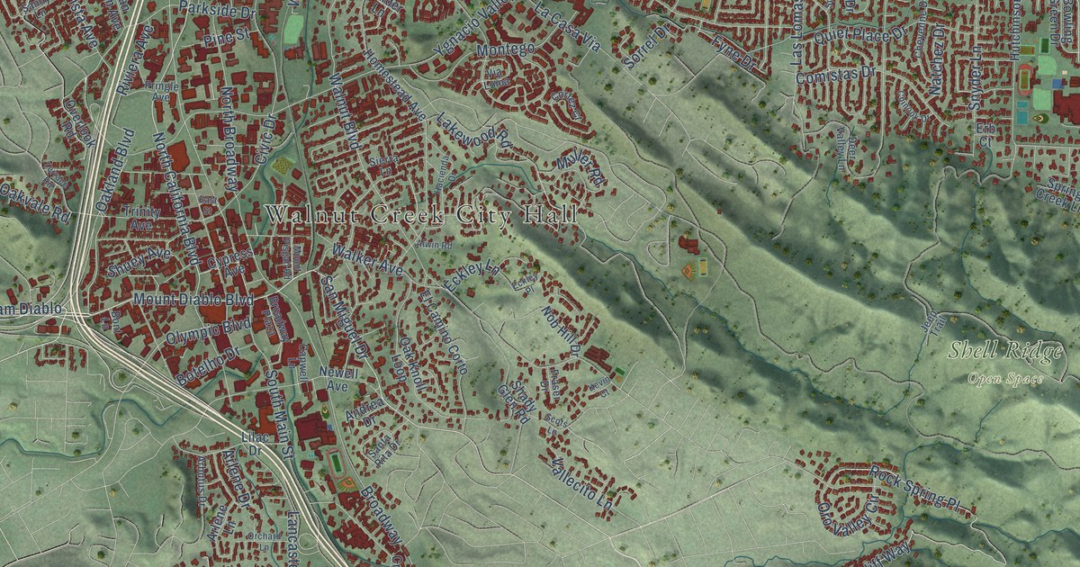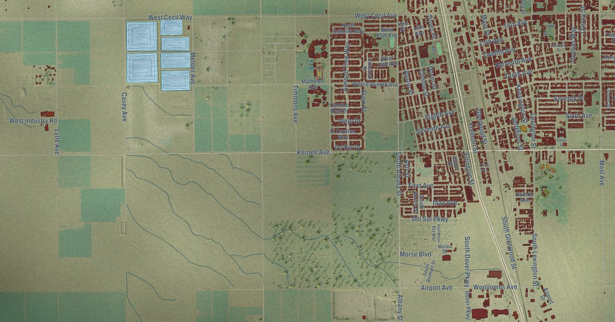
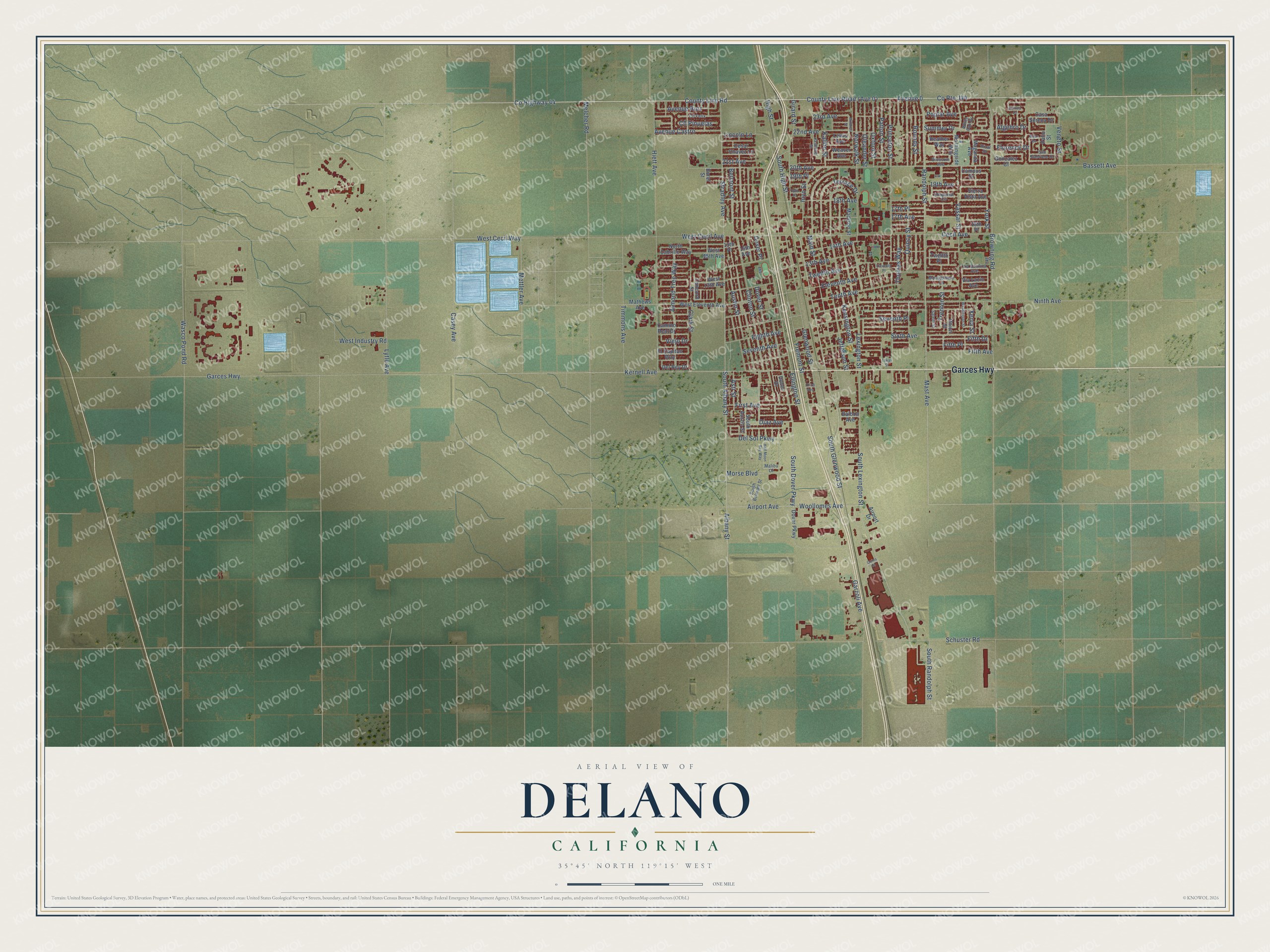
This beautifully detailed map of Delano, California was created in 2026 using aerial imagery combined with modern topographical, census, street and landmark data. It's a modern aerial view of Delano in Kern County, California, that combines modern data with a vintage aesthetic. The roads feature printed names, and if you look closely you can find your exact house accurately shown in its correct location.
Explore an aerial view of Delano, California
On this map you'll find Garces Highway, Co Highway 44, Randolph Street, Diaz Avenue, Mast Avenue, County Line Road (Ave 0), South Dover Parkway, Ellington Street, South Lexington Street, Fifth Place, High Street, Schuster Road, and more. Each red shape is a building, so zoom in on the preview and look for yours.
Every town has a first chapter, and Delano is no exception. The National Register of Historic Places puts it this way: "1
Construction History: The property was built in 1953 by Henry Morales, according to the City
of Delano building permit #4766, intended for commercial use."
Delano is a city in Kern County. The Census Bureau counted 51,428 people here in 2020.
Take a closer look at the Delano map
Names on this map
These names are printed on this map.
Streets and roads: Garces Highway, County Highway 44, Randolph Street, Diaz Avenue, Mast Avenue, County Route J44, South Dover Parkway, Ellington Street, South Lexington Street, Fifth Place, High Street, Schuster Road.
More street names, A to Z
13th Avenue, 14th Avenue, 15th Avenue, 15th Place, 16th Place, 17th Avenue, 17th Place, 18th Avenue, 18th Place, 19th Avenue, 19th Place, 20th Avenue, 21st Avenue, 22nd Avenue, 23rd Avenue, Airport Avenue, Airport Drive, Albany Street, Algehro Drive, Almond Tree Way, Asti Street, Austin Street, Avenue 0, Avenue Castro, Avenue Ruiz, Balboa Avenue, Bassett Avenue, Belmont Street, Blossom Avenue, Borel Street, Browning Road, Camino Real Drive, Campus Drive, Casa Serena Drive, Casey Avenue, Cecil Avenue, Cesar Chavez Lane, Chaparral Circle, Clark Street, Clinton Street, Cll Felix, Cll Pinuelas, Concord Street, County Line Road, Delfina Court, Del Rey Drive, Del Sol Parkway, Dover Drive, Dover Parkway, Dover Place, Dover Street, Eighth Avenue, El Capitan Way, Eleventh Avenue, Eleventh Place, Fifth Avenue, Fifth Drive, First Avenue, Florence Drive, Fremont Street, Garzoli Avenue, Girard Street, Glenwood Street, Gonzalez Court, Half Moon Bay Way, Heather Way, Hiett Avenue, Inyo Street, Jasmine Street, Jefferson Street, Kalibo Street, Kensington Street, Kernell Avenue, Lewis Avenue, Lexington Street, Lincoln Lane, Lytle Avenue, Madison Street, Maganda Avenue, Main Street, Malibu Drive, Mathews Avenue, Melcher Road, Mettler Avenue, Milan Drive, Mitchell Street, Montgomery Lane, Morningside Way, Morse Boulevard, Ninth Avenue, North Cabrillo Way, Norwalk Street, Oleander Street, Oxford Street, Palio Street, Patton Street, Poplar Avenue, Princeton Street, Quincy Street, Quinn Court, Rizal Drive, Rounds Street, Salem Street, San Gabriele Drive, Seventh Avenue, Seventh Place, Sierra Vista Avenue, Sixth Avenue, South Albany Street, South Austin Street, South Belmont Street, South Glenwood Street, South High Street, South Randolph Street, Stradley Avenue, Summer Drive, Tenth Avenue, Terrace Drive, Third Avenue, Thomas Way, Timmons Avenue, Tokay Street, Trenton Street, Twelfth Avenue, Twelfth Place, Union Street, Vassar Street, Veneto Street, Via Basilica Avenue, Via Lazio Avenue, Viejo Drive, Wasco Pond Road, Washington Street, Weaver Avenue, West 13th Avenue, West 15th Avenue, West Cecil Avenue, West Cecil Way, West Eleventh Avenue, West Industry Road, White Oak Drive, Woollomes Avenue, Xenia Street, York Street.
Created by KNOWOL in 2026. The buildings are small red shapes, the roads carry their printed names, and shaded relief shows the shape of the land. The title panel reads "AERIAL VIEW OF DELANO CALIFORNIA" with 35°45' NORTH 119°15' WEST.
Hang it in the hallway, the office or the cabin, or give it to someone who left Delano and still calls it home. Open the preview and look for a street you know. See sizes and frames for the Delano map.