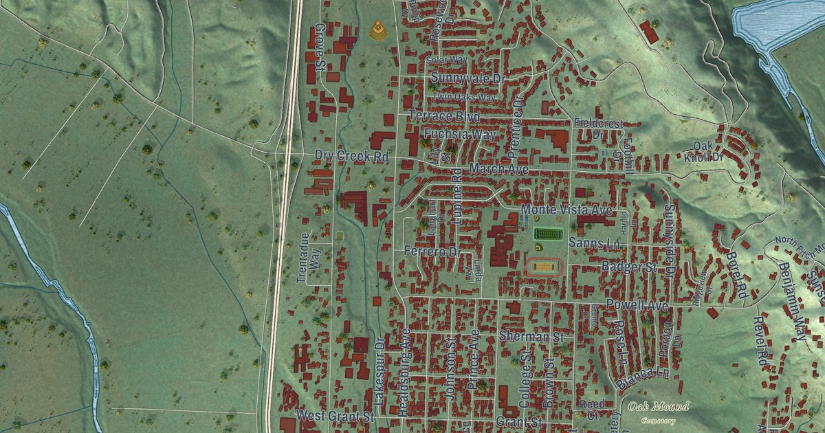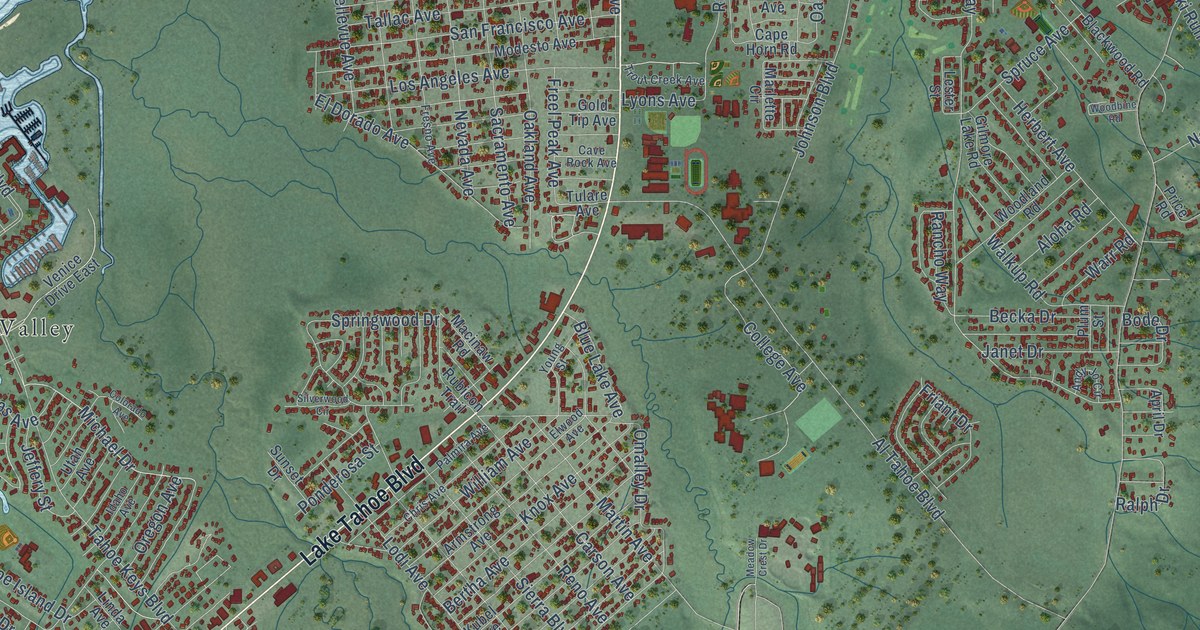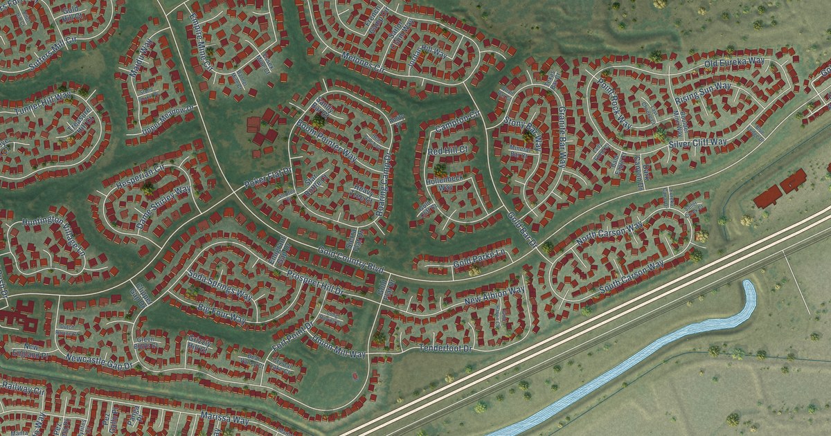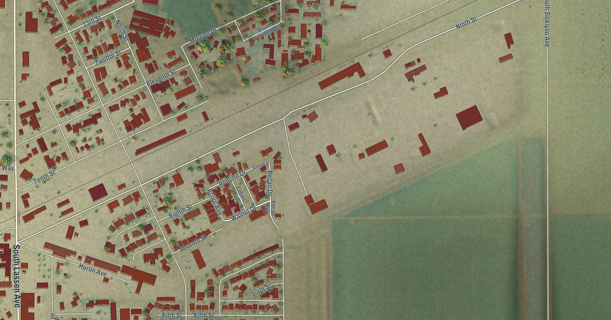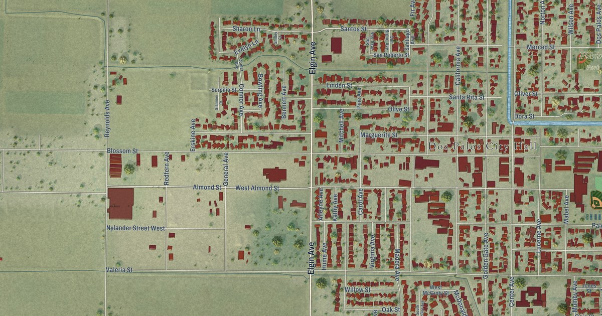
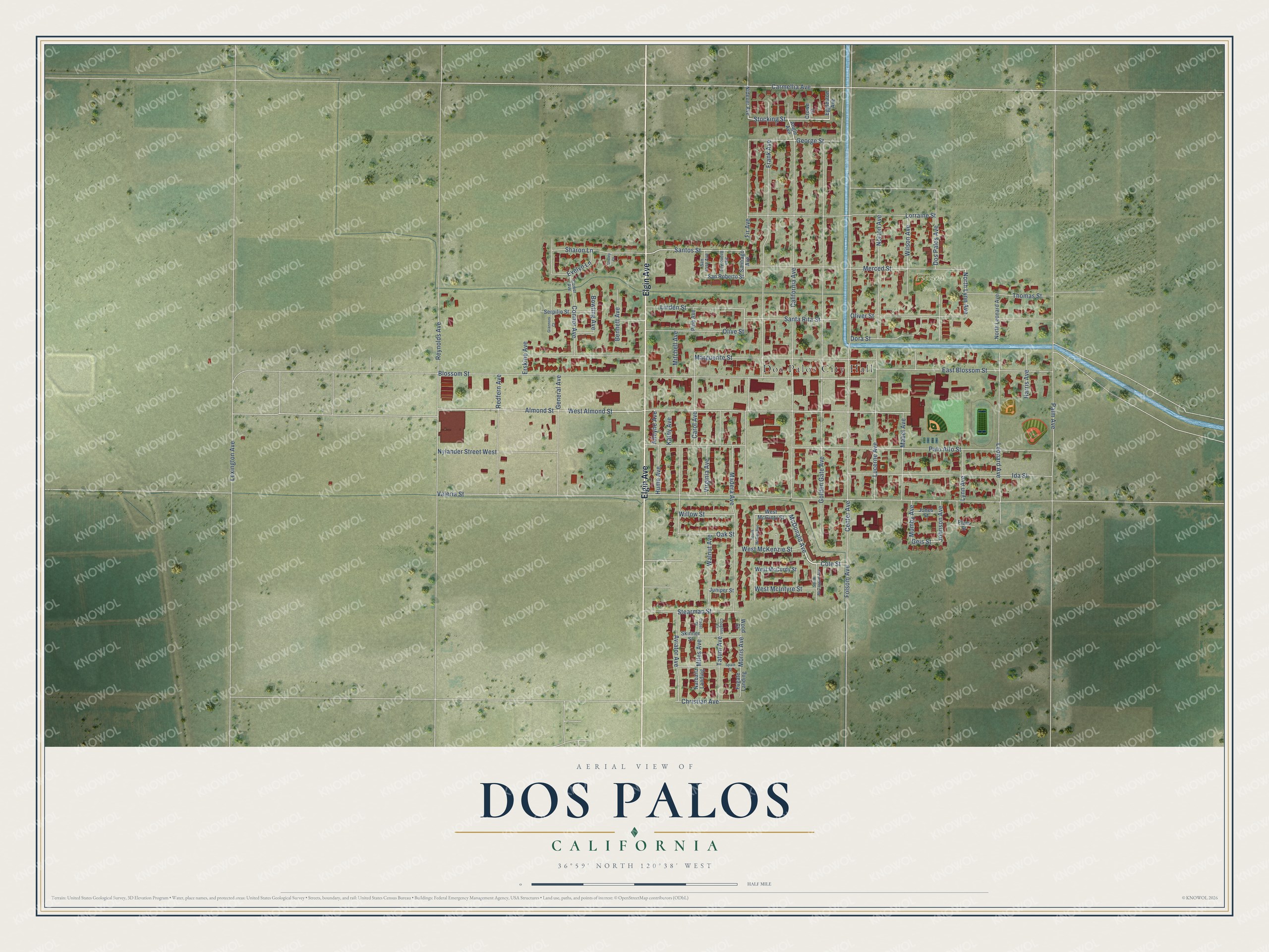
This beautifully detailed map of Dos Palos, California was created in 2026 using aerial imagery combined with modern topographical, census, street and landmark data. It's a modern aerial view of Dos Palos in Merced County, California, that combines modern data with a vintage aesthetic. The roads feature printed names, and if you look closely you can find your exact house accurately shown in its correct location.
Explore an aerial view of Dos Palos, California
On this map you'll find Dos Palos City Hall, Pierini Park, Elgin Avenue, Stocking Street, McDonald Avenue, Cole Street, Morris Avenue, Santos Street, Almond Street, Lynn Avenue, Fir Avenue, George Street, and more. Each red shape is a building, so zoom in on the preview and look for yours.
Dos Palos is a city in Merced County. The Census Bureau counted 5,798 people here in 2020. The map prints the town name in its title panel, with the coordinates below it.
Take a closer look at the Dos Palos map
Names on this map
These names are printed on this map.
Places: Dos Palos City Hall and Pierini Park.
Streets and roads: Elgin Avenue, Stocking Street, McDonald Avenue, Cole Street, Morris Avenue, Santos Street, Almond Street, Lynn Avenue, Fir Avenue, George Street, North Lynn Avenue, Miles Avenue.
More street names, A to Z
Alleyne Avenue, Angle Avenue, Aviator Avenue, Bennett Avenue, Blossom Street, Bowling Avenue, Cadet Street, California Avenue, Carmellia Avenue, Carol Avenue, Center Avenue, Christian Avenue, Comer Avenue, Connor Avenue, Coughlin Court, Crowe Court, Dora Street, Dos Palos Avenue, East Blossom Street, Eggleston Avenue, Erskine Avenue, Evelyn Lane, Folsom Avenue, Frank Avenue, Fugate Landing, Geis Street, General Avenue, Giannoni Court, Golden Gate Avenue, Harris Avenue, Hume Avenue, Ida Street, Johnson Avenue, Jones Street, Juniper Street, Kathy Avenue, Leonard Avenue, Lexington Avenue, Linden Street, Lorraine Street, Lucerne Avenue, Mabel Avenue, Madera Avenue, Marguerite Street, Merced Street, Mitchell Avenue, Mumby Avenue, Narbaitz Landing, Nidever Avenue, North Leonard Avenue, Norton Avenue, Nylander Street West, Oak Street, Oliver Street, Olive Street, Palm Avenue, Palo Alto Street, Pine Avenue, Plum Street, Redfern Avenue, Reynolds Avenue, San Bruno Avenue, San Jose Avenue, San Roberto Street, Santa Rita Street, Santiago Avenue, Serpilio Street, Sharon Lane, Shirley Court, Skinner Street, South McGee Avenue, South McTaggart Avenue, Spain Street, Stearman Street, Tatum Avenue, Thomas Street, Valeria Street, Virginia Avenue, Walnut Avenue, West Almond Street, West McCurdy Street, West McGinty Street, West McIntyre Street, West McKenzie Street, Willow Street, Wilson Avenue, Wood Court.
Created by KNOWOL in 2026. The buildings are small red shapes, the roads carry their printed names, and shaded relief shows the shape of the land. The title panel reads "AERIAL VIEW OF DOS PALOS CALIFORNIA" with 36°59' NORTH 120°38' WEST.
Hang it in the hallway, the office or the cabin, or give it to someone who left Dos Palos and still calls it home. Open the preview and look for a street you know. See sizes and frames for the Dos Palos map.