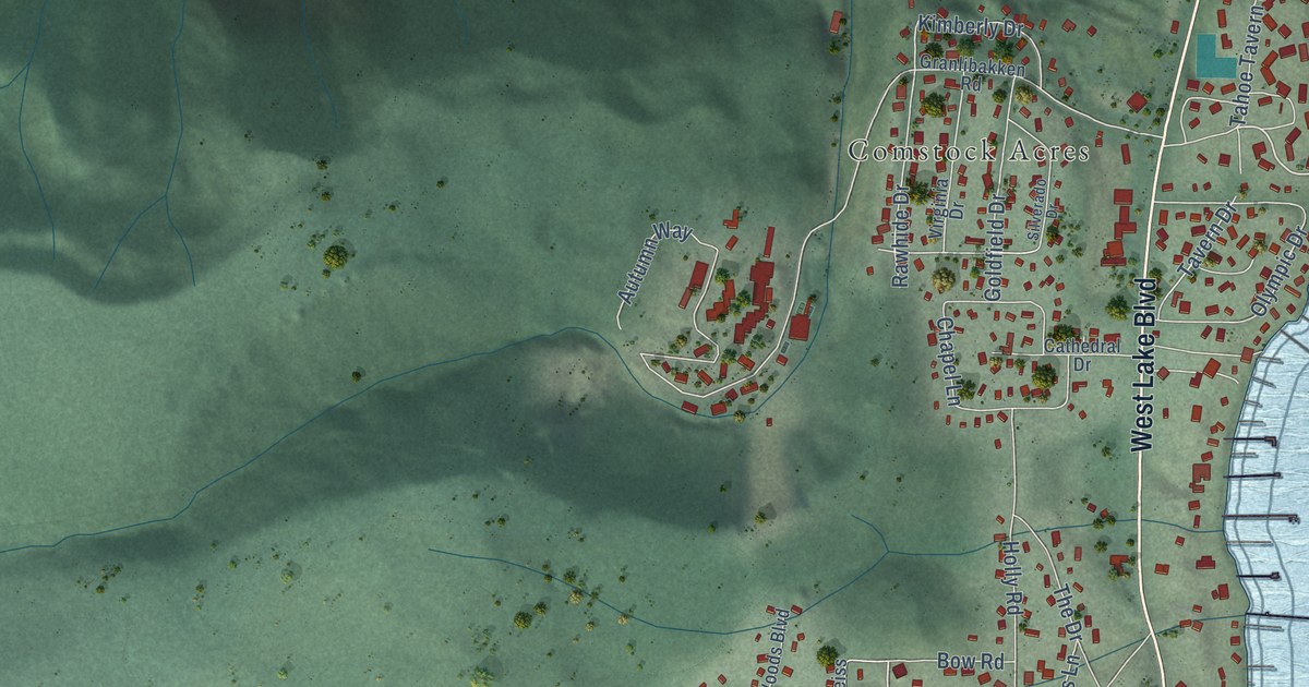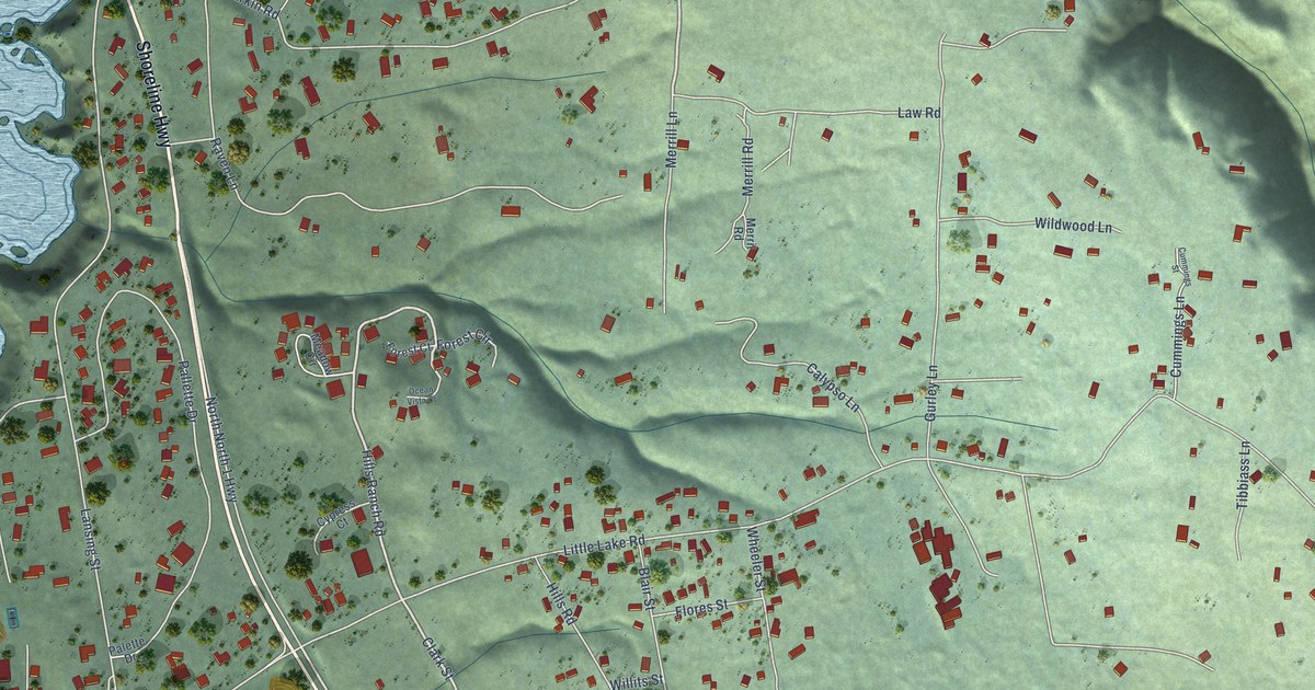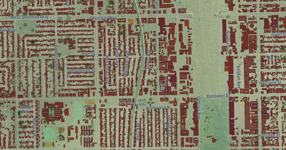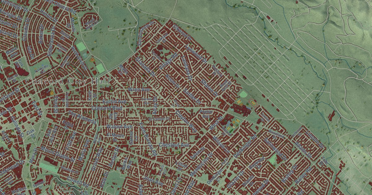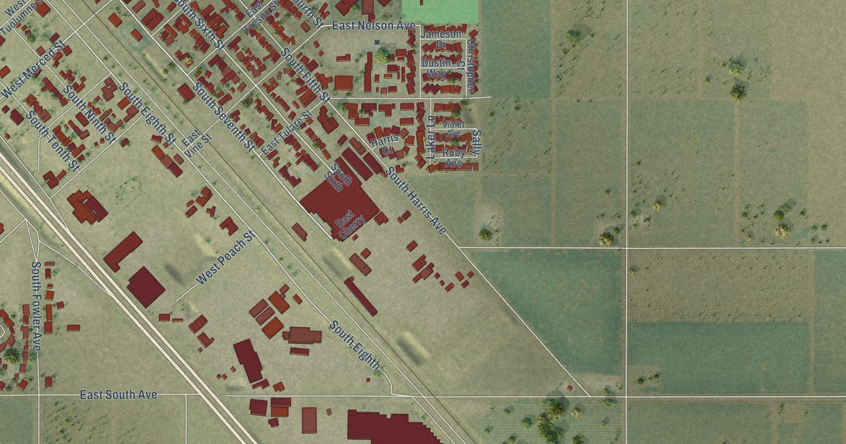
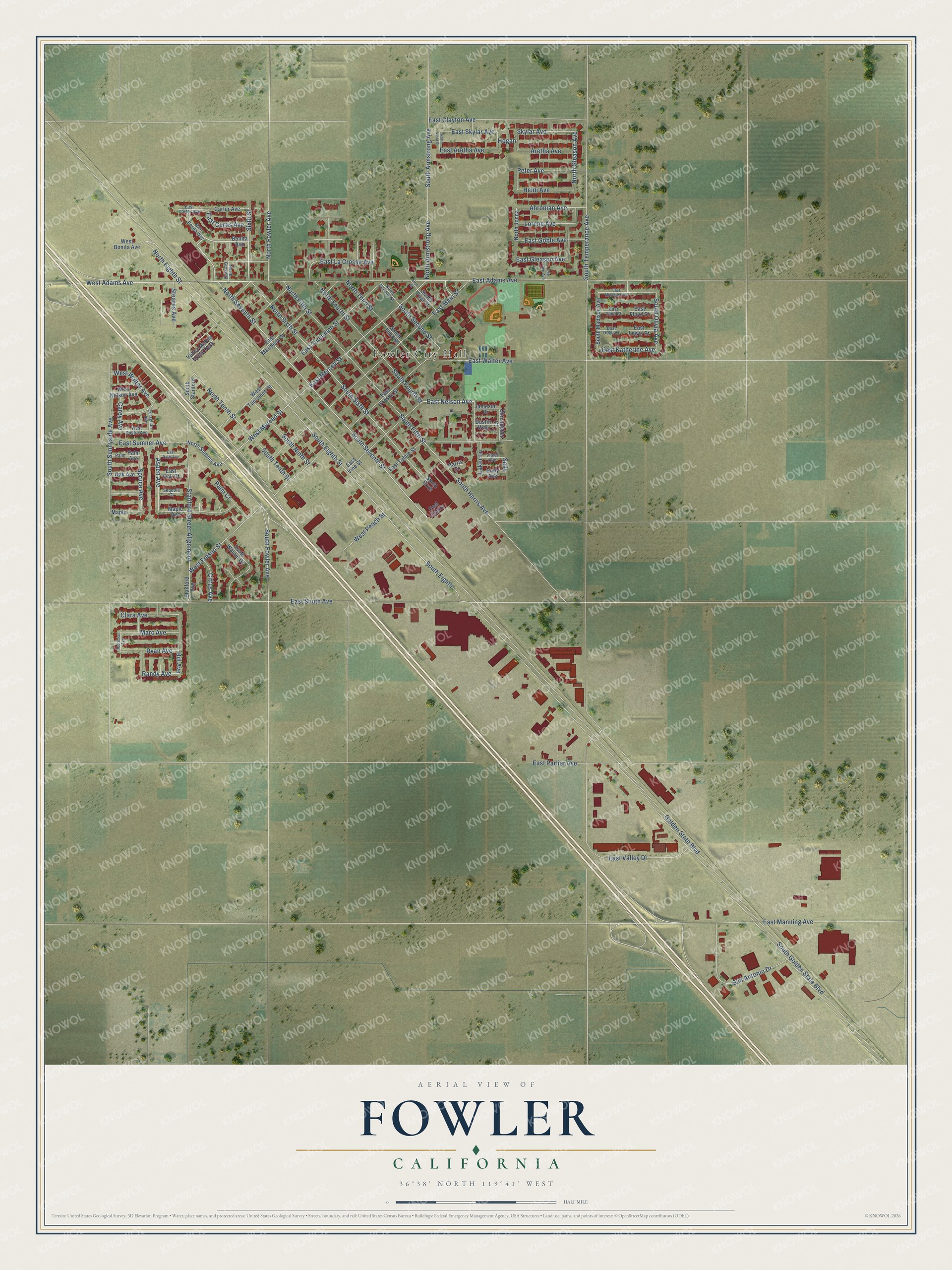
This beautifully detailed map of Fowler, California was created in 2026 using aerial imagery combined with modern topographical, census, street and landmark data. It's a modern aerial view of Fowler in Fresno County, California, that combines modern data with a vintage aesthetic. The roads feature printed names, and if you look closely you can find your exact house accurately shown in its correct location.
Explore an aerial view of Fowler, California
On this map you'll find Fowler City Hall, North Seventh Street, South Seventh Street, East Adams Avenue, North Sixth Street, West Merced Street, Sixth Street, South Sixth Street, South Eighth Street, Stanford Street Alignment, East Merced Street, South Eighth, and more. Each red shape is a building, so zoom in on the preview and look for yours.
Every town has a first chapter, and Fowler is no exception. The Fresno County History puts it this way: "As a friend, writing in tribute to her memory, has pointed out, in the records of this association we find that, twenty-six years ago, Mrs. Harris, with her associates, was planning to purchase Block Nine in the town of Fowler for a city park, and also to build a reading-room."
Fowler is a city in Fresno County. The Census Bureau counted 6,700 people here in 2020.
Take a closer look at the Fowler map
Names on this map
These names are printed on this map.
Places: Fowler City Hall and Valley Mobile Home Park.
Streets and roads: North Seventh Street, South Seventh Street, East Adams Avenue, North Sixth Street, West Merced Street, Sixth Street, South Sixth Street, South Eighth Street, Stanford Street Alignment, East Merced Street, South Eighth, North Gleason Avenue.
More street names, A to Z
Ahronian Avenue, Aretha Avenue, Aspen Avenue, Bedrosian Avenue, Bonita Avenue, Carey Avenue, Carter Avenue, Christopher Court, Citrus Avenue, Clara Avenue, Dee Ann Avenue, Dustin Way, East Aretha Avenue, East Bonita Way, East Carter Avenue, East Cherry, East Clayton Avenue, East Curtis Avenue, East Duke Court, East Floyd Court, East Fresno Street, East Gleason Avenue, East Goble Avenue, East Katherine Avenue, East La Crosse Avenue, East Lewis Court, East Main Street, East Manning Avenue, East Mariposa Street, East Michelle Avenue, East Nelson Avenue, East Oak Court, East Palm Avenue, East Parlier Avenue, East Skylar Avenue, East South Avenue, East Sumner Avenue, East Tami Court, East Tulare Street, East Tuolumne Street, East Valley Drive, East Vine Street, East Walter Avenue, Esraelian Avenue, First Street, Golden State Boulevard, Harris Court, Heidi Avenue, Hill Avenue, Hogan, Jameson Drive, Laker Lane, Lorene Avenue, Maple, Maple Avenue, Marc Avenue, North Armstrong Avenue, North Eighth Street, North Fifth Street, North Fourth Street, North Fowler Avenue, North Grove Street, North Jonna, North Second Street, North Sumner Avenue, North Tenth Street, North Third Street, North Vista Street, Oak Avenue, Palm, Palm Avenue, Palm Court, Peter Avenue, Randy Avenue, Ruby Avenue, Ryan Avenue, Sally, San Antonio Drive, Sequoia Court, Skylar Avenue, South Armstrong Avenue, South Fifth Street, South First Street, South Fourth Street, South Fowler Avenue, South Golden State Boulevard, South Harris Avenue, South Madison Avenue, South Ninth Street, South Olivia Avenue, South Second Street, South Sixth, South Stanford, South Sunnyside Avenue, South Temperance Avenue, South Tenth Street, South Third Street, South Walnut Drive, Spruce Avenue, Stanford Avenue, Stearns Avenue, Violet Avenue, West Adams Avenue, West Bonita Avenue, West Dustin Avenue, West Fresno Street, West Nelson Avenue, West Peach Street, West Tuolumne Street, West Walter Avenue.
Created by KNOWOL in 2026. The buildings are small red shapes, the roads carry their printed names, and shaded relief shows the shape of the land. The title panel reads "AERIAL VIEW OF FOWLER CALIFORNIA" with 36°38' NORTH 119°41' WEST.
Hang it in the hallway, the office or the cabin, or give it to someone who left Fowler and still calls it home. Open the preview and look for a street you know. See sizes and frames for the Fowler map.