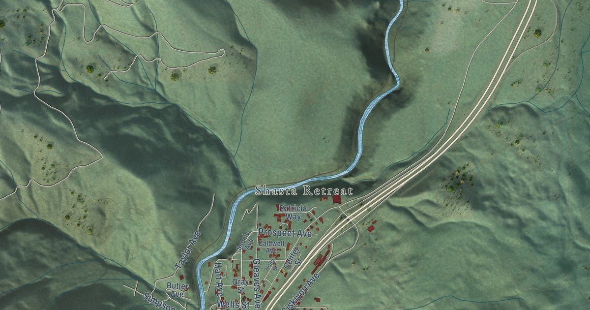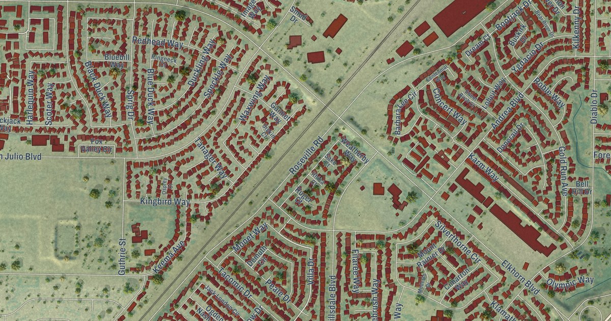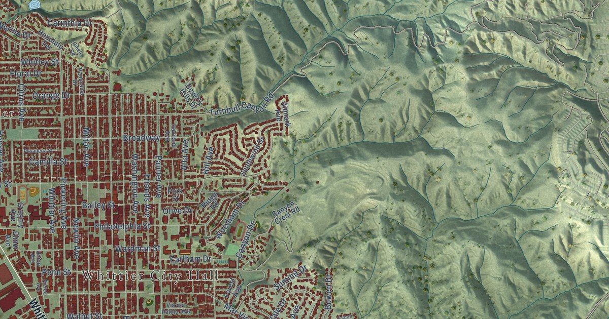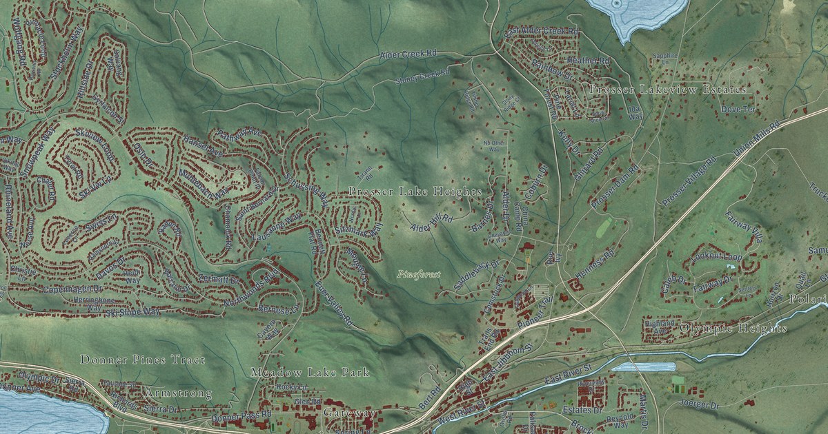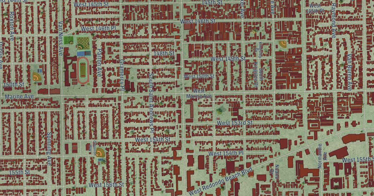
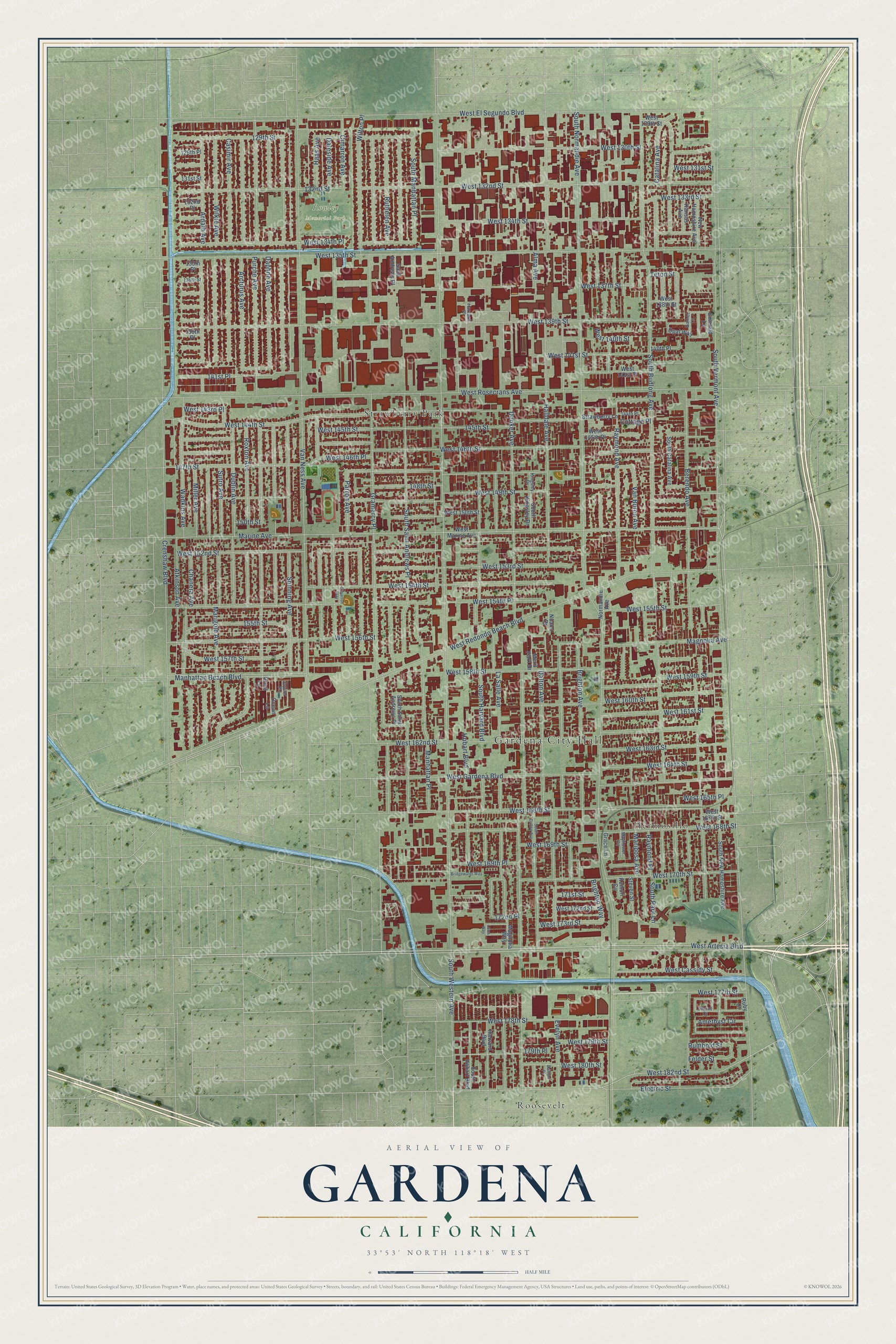
This beautifully detailed map of Gardena, California was created in 2026 using aerial imagery combined with modern topographical, census, street and landmark data. It's a modern aerial view of Gardena in Los Angeles County, California, that combines modern data with a vintage aesthetic. The roads feature printed names, and if you look closely you can find your exact house accurately shown in its correct location.
Explore an aerial view of Gardena, California
On this map you'll find Gardena City Hall, Rowley Memorial Park, Hermosillo, Roosevelt, Strawberry Park, West Artesia Boulevard, South Vermont Avenue, Marine Avenue, West 182nd Street, Halldale Avenue, West 164th Street, West 154th Place, and more. Each red shape is a building, so zoom in on the preview and look for yours.
Gardena is a city in Los Angeles County. The Census Bureau counted 61,027 people here in 2020. The map prints the town name in its title panel, with the coordinates below it.
Take a closer look at the Gardena map
Names on this map
These names are printed on this map.
Places: Gardena City Hall, Rowley Memorial Park, Hermosillo, Roosevelt and Strawberry Park.
Streets and roads: West Artesia Boulevard, South Vermont Avenue, Marine Avenue, West 182nd Street, Halldale Avenue, West 164th Street, West 154th Place, West 154th Street, South Western Avenue, West El Segundo Boulevard, South Harvard Boulevard, West 157th Street.
More street names, A to Z
129th Place, 129th Street, 131st Street, 132nd Place, 132nd Street, 135th Place, 136th Street, 139th Place, 140th Place, 141st Place, 144th Place, 145th Street, 147th Street, 148th Street, 150th Street, 155th Street, 171st Street, 172nd Place, 179th Place, Alma Avenue, Amethyst Circle, Arcturus Avenue, Ardath Avenue, Atkinson Avenue, Berendo Avenue, Bridgewater Way, Brighton Avenue, Brighton Way, Casimir Avenue, Catalina Avenue, Chanera Avenue, Cimarron Avenue, Cimarron Way, Citrine Court, Cottage Place, Crenshaw Boulevard, Crest Lane, Daleside Avenue, Dalton Avenue, Dalton Place, Daphne Avenue, Denker Avenue, Dublin Avenue, Electric Street, Emerald Lane, Evelyn Avenue, Felder Street, Garnet Lane, Grace Lane, Gramercy Place, Haas Avenue, Harvard Boulevard, Harvard Place, Hobart Boulevard, Jupiter Place, Kansas Avenue, Kingsley Drive, Komori Circle, La Salle Avenue, Lotus Way, Magnolia Avenue, Magnolia Way, Manhattan Beach Boulevard, Manhattan Place, Marigold Avenue, Mariposa Avenue, Mayflower Circle, Merit Park Drive, Miller Avenue, New Hampshire Avenue, Normandie Avenue, Nuanu Drive, Ocean Lane, Opal Way, Parron Avenue, Purche Avenue, Raymond Avenue, Raymond Place, Roxton Avenue, Ruby Court, Rumbold Street, Ruthelen Avenue, Saint Andrews Place, South Budlong Avenue, South Catalina Avenue, South Dalton Avenue, South Hobart Boulevard, South Kingsley Drive, South Manhattan Place, South New Hampshire Avenue, South Normandie Avenue, South Park Lane, South Saint Andrews Place, Spinning Avenue, Steven Street, Strawberry Lane, Sutro Avenue, Teton Street, Van Buren Avenue, Van Ness Avenue, Wadkins Avenue, West 129th Street, West 130th Street, West 131st Street, West 132nd Street, West 133rd Street, West 134th Place, West 134th Street, West 135th Street, West 137th Street, West 138th Street, West 139th Street, West 140th Street, West 141st Place, West 141st Street, West 143rd Place, West 144th Street, West 145th Place, West 145th Street, West 146th Place, West 146th Street, West 149th Street, West 150th Street, West 152nd Street, West 153rd Street, West 155th Street, West 156th Street, West 158th Street, West 159th Street, West 160th Street, West 161st Street, West 162nd Street, West 163rd Street, West 165th Place, West 166th Street, West 167th Street, West 168th Street, West 169th Place, West 169th Street, West 170th Street, West 172nd Street, West 173rd Street, West 177th Street, West 178th Street, West 179th Street, West 180th Street, West Cassidy Street, West Gardena Boulevard, West Marine Avenue, West Redondo Beach Boulevard, West Rosecrans Avenue, Wilkie Avenue, Wilton Place.
Created by KNOWOL in 2026. The buildings are small red shapes, the roads carry their printed names, and shaded relief shows the shape of the land. The title panel reads "AERIAL VIEW OF GARDENA CALIFORNIA" with 33°53' NORTH 118°18' WEST.
It suits a den, a classroom or a front hall, and it makes a gift for anyone with Gardena roots. Open the preview and find the block you know. See sizes and frames for the Gardena map.