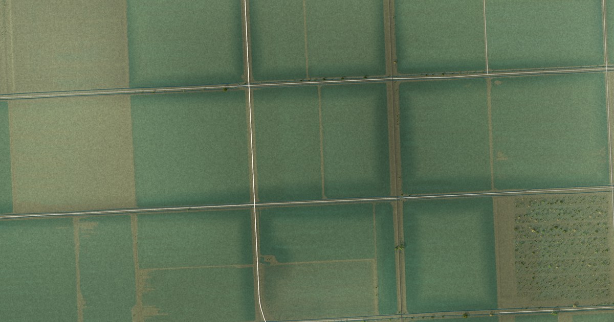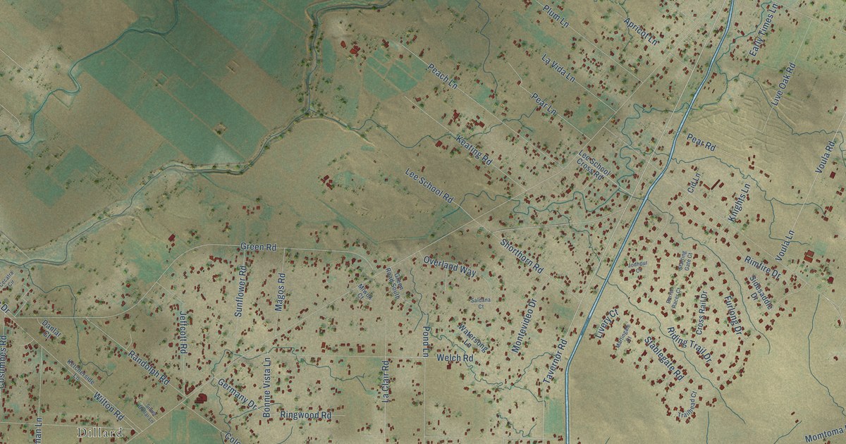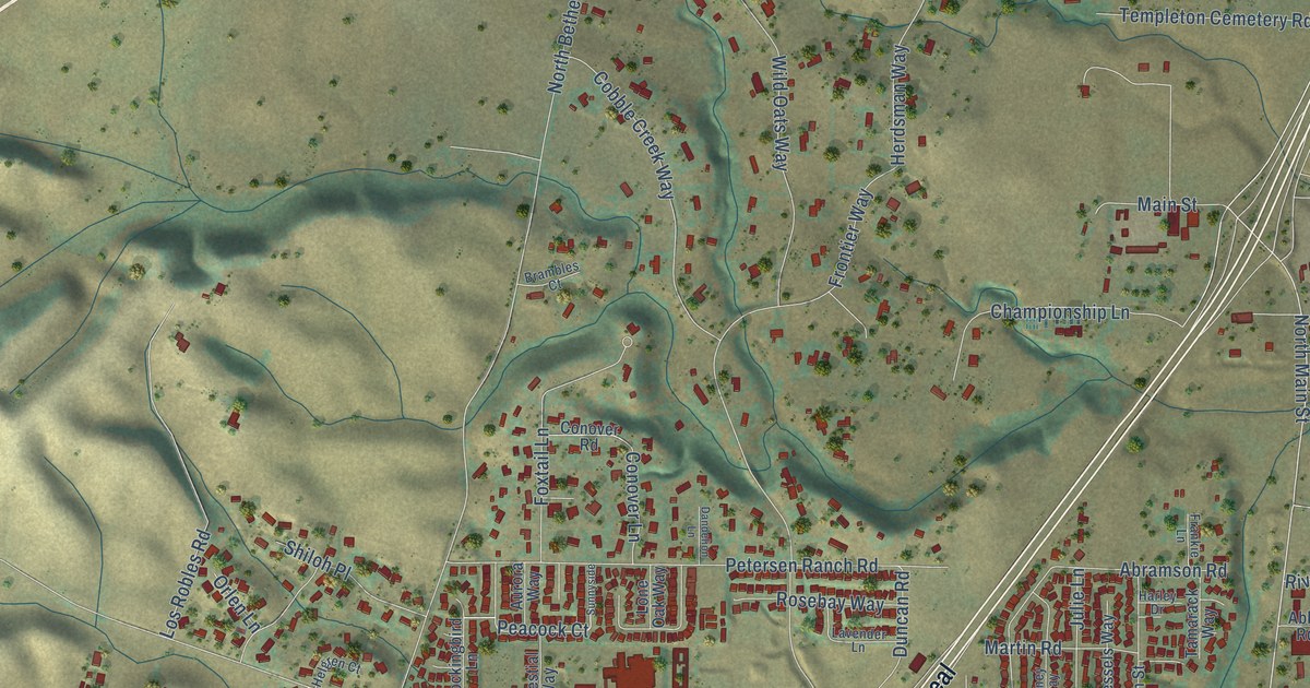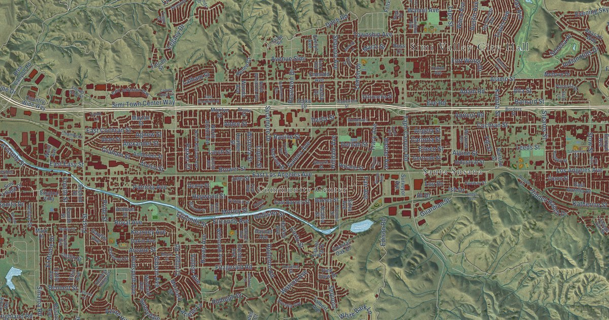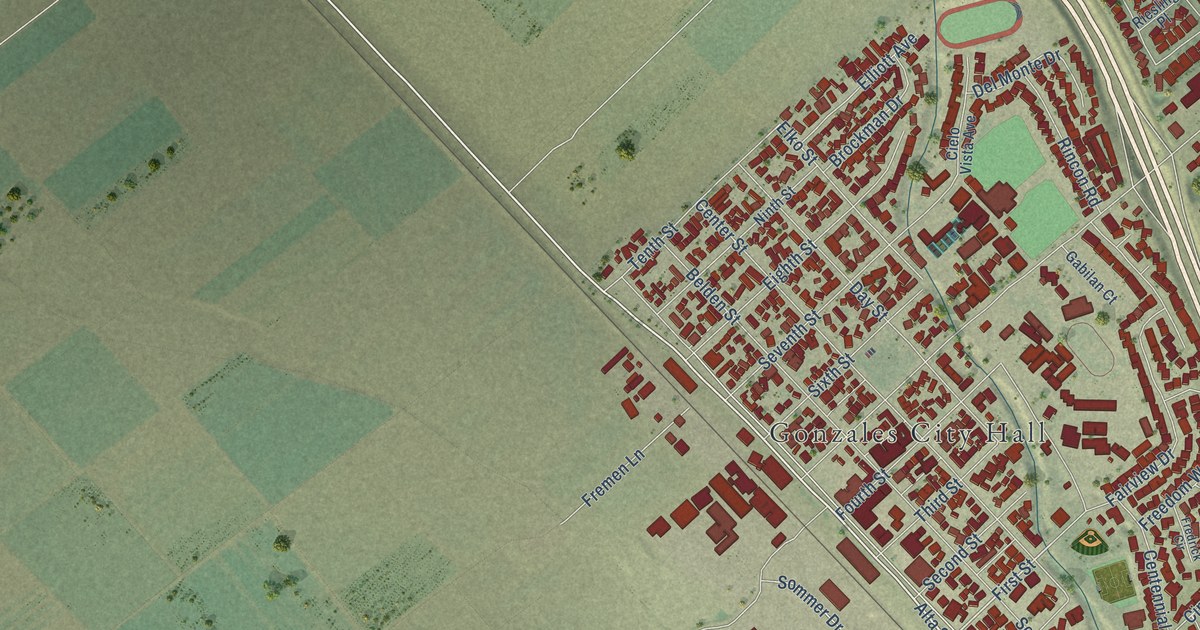
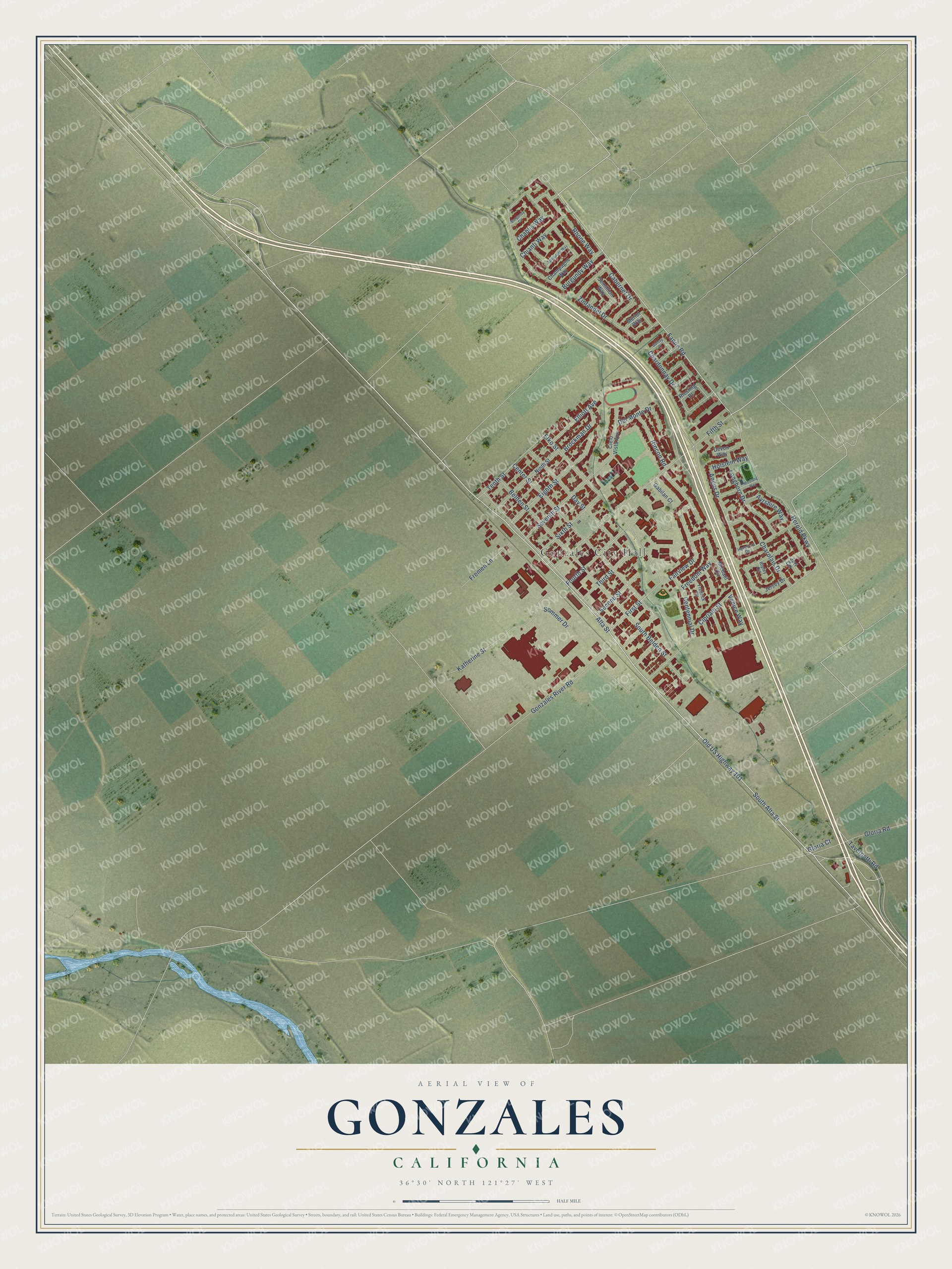
This beautifully detailed map of Gonzales, California was created in 2026 using aerial imagery combined with modern topographical, census, street and landmark data. It's a modern aerial view of Gonzales in Monterey County, California, that combines modern data with a vintage aesthetic. The roads feature printed names, and if you look closely you can find your exact house accurately shown in its correct location.
Explore an aerial view of Gonzales, California
On this map you'll find Gonzales City Hall, Old US Highway 101, Fanoe Road, Alta Street, South Alta Street, First Street, Rhone Way, Angus Drive, Fifth Street, Herold Parkway, Belden Street, Center Street, and more. Each red shape is a building, so zoom in on the preview and look for yours.
Every town has a first chapter, and Gonzales is no exception. The National Register of Historic Places puts it this way: "Name
For NFS use only
received AI IP*iv/w
date entered
historic COMMUNITY CHURCH OF GONZALES
and/or common game
2."
Gonzales is a city in Monterey County. The Census Bureau counted 8,647 people here in 2020.
Take a closer look at the Gonzales map
Names on this map
These names are printed on this map.
Places: Gonzales City Hall.
Streets and roads: Old US Highway 101, Fanoe Road, Alta Street, South Alta Street, First Street, Rhone Way, Angus Drive, Fifth Street, Herold Parkway, Belden Street, Center Street, Burgundy Way.
More street names, A to Z
Ayrshire Way, Brockman Drive, Burgundy Circle, Cabernet Drive, Centennial Drive, Chablis Way, Champagne Way, Chardonnay Drive, Charolais Drive, Chianti Way, Cielo Vista Avenue, Cipriani Street, Day Street, Del Monte Drive, Devon Way, Eighth Street, Elko Street, Elliott Avenue, Fairview Drive, Fourth Street, Fredrick Circle, Freedom Way, Fremen Lane, Gabilan Court, Gamay Place, Gloria Court, Gloria Road, Gonzales River Road, Hereford Drive, Holstein Way, Jersey Drive, Juri Circle, Katherine Street, Longhorn Drive, Merlot Way, Michael Circle, Mustang Way, Ninth Street, Riesling Place, Rincon Road, Ripley Circle, Second Street, Semillion Way, Seventh Street, Sixth Street, Sommer Drive, South Belden Street, Spumante Way, Tavernetti Road, Tenth Street, Third Street, Venice Way, Zinfandel Drive.
Created by KNOWOL in 2026. The buildings are small red shapes, the roads carry their printed names, and shaded relief shows the shape of the land. The title panel reads "AERIAL VIEW OF GONZALES CALIFORNIA" with 36°30' NORTH 121°27' WEST.
Hang it in the hallway, the office or the cabin, or give it to someone who left Gonzales and still calls it home. Open the preview and look for a street you know. See sizes and frames for the Gonzales map.