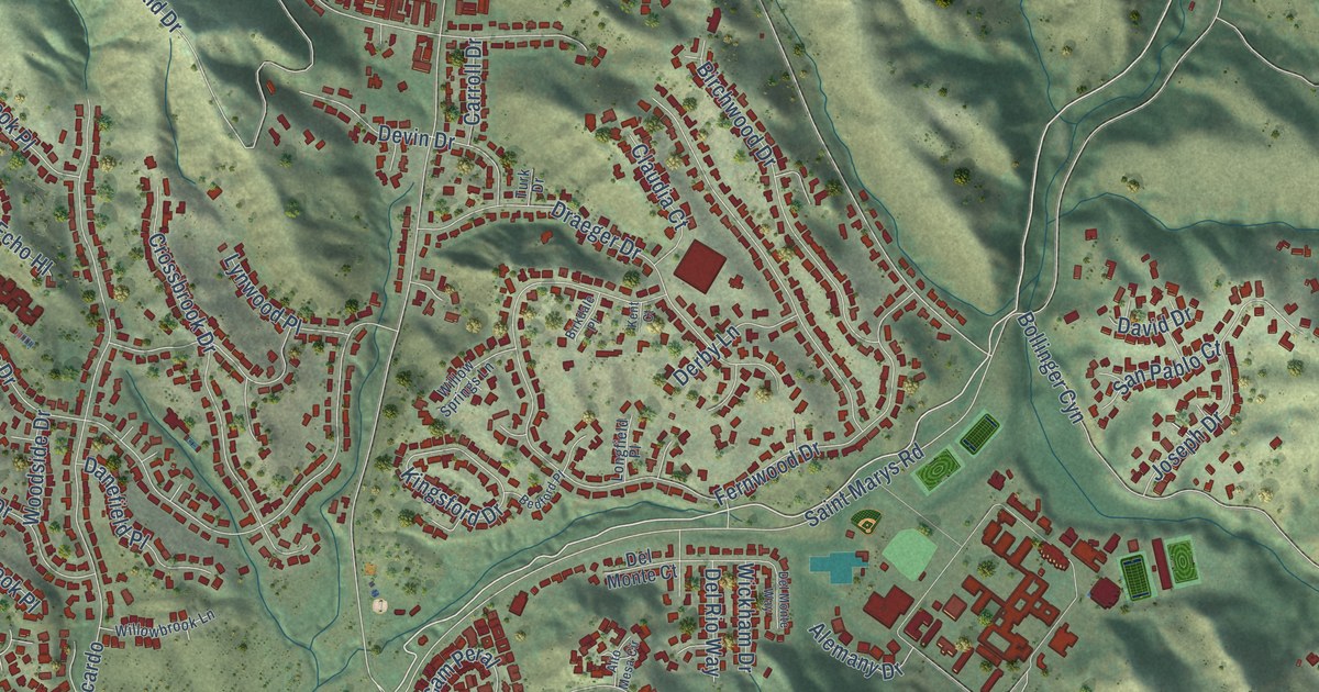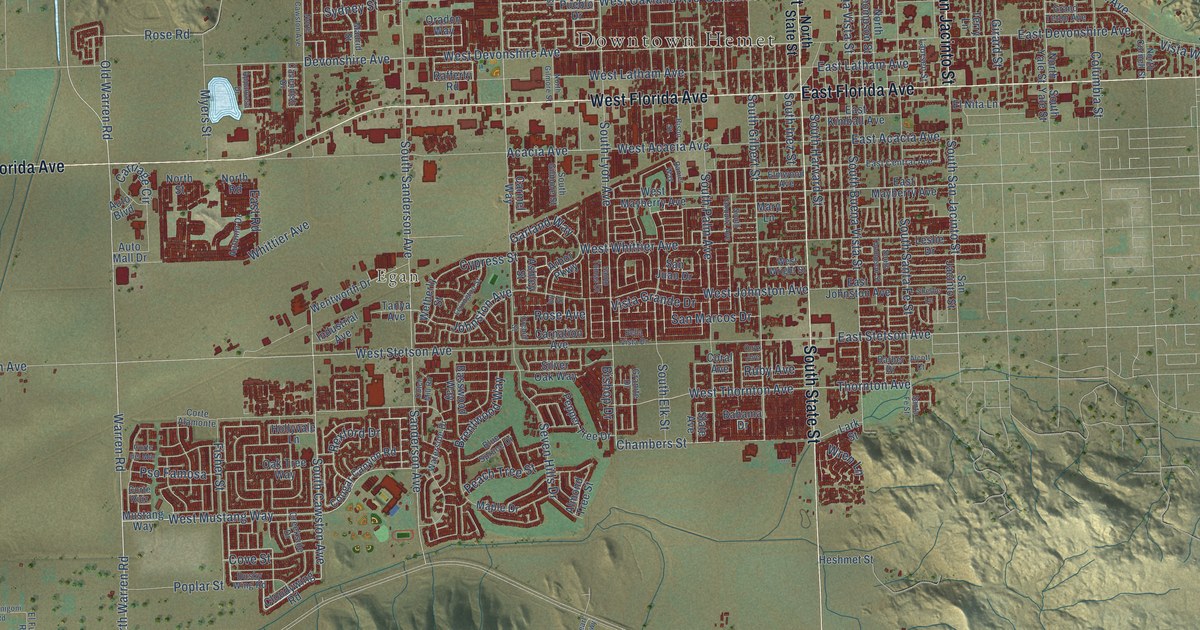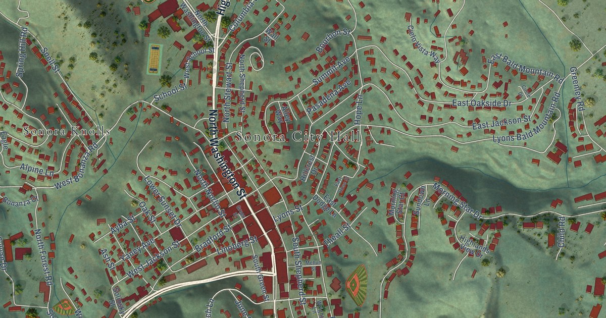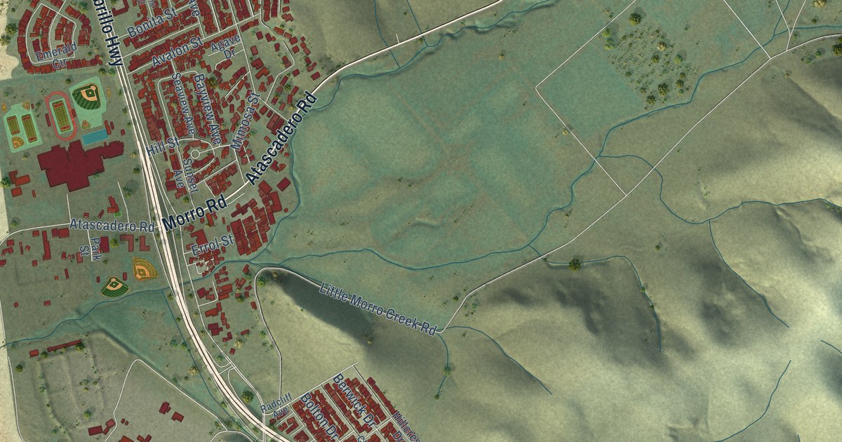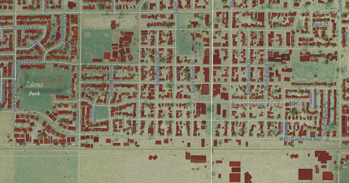
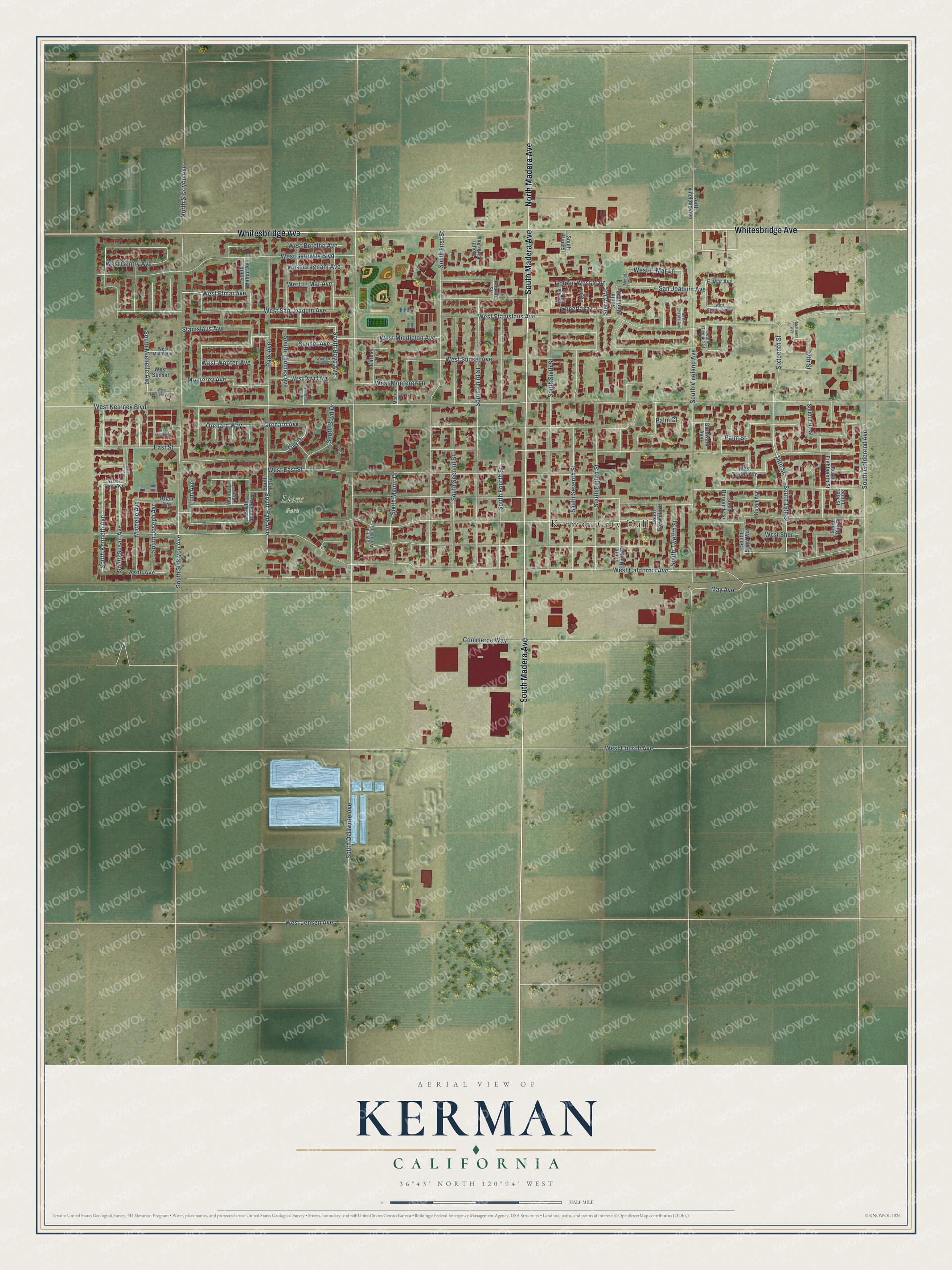
This beautifully detailed map of Kerman, California was created in 2026 using aerial imagery combined with modern topographical, census, street and landmark data. It's a modern aerial view of Kerman in Fresno County, California, that combines modern data with a vintage aesthetic. The roads feature printed names, and if you look closely you can find your exact house accurately shown in its correct location.
Explore an aerial view of Kerman, California
On this map you'll find Kerman City Hall, Lions Park, Whitesbridge Avenue, South Madera Avenue, North Madera Avenue, South 16th Street, West El Mar Avenue, West Elmar Avenue, West San Joaquin Avenue, South Kenneth Avenue, Oak Drive, West Middleton Avenue, and more. Each red shape is a building, so zoom in on the preview and look for yours.
Here is a piece of Kerman history, in the words of the record. The Fresno County History puts it this way: "Hansen was one of the first stockholders of the Kerman Telephone Company that built telephone lines in the farming sections of Empire and Kerman, and he was trustee of the Empire school district for several years."
Kerman is a city in Fresno County. The Census Bureau counted 16,016 people here in 2020.
Take a closer look at the Kerman map
Names on this map
These names are printed on this map.
Places: Kerman City Hall, Lions Park and South Park.
Streets and roads: Whitesbridge Avenue, South Madera Avenue, North Madera Avenue, South 16th Street, West El Mar Avenue, West Elmar Avenue, West San Joaquin Avenue, South Kenneth Avenue, Oak Drive, West Middleton Avenue, West Botelho Avenue, South Boyd Avenue.
More street names, A to Z
16th Street, 17th Street, Almond Court, Ashli Avenue, Boyd Avenue, Brian Avenue, Carmel Drive, Center Street, Commerce Way, East Street, El Mar Avenue, Epperlaza Lane, Fourth Street, Golden West Main, Gurdwara Avenue, Karen Avenue, Lum Avenue, May Avenue, McKenna Avenue, Merlot Avenue, Michelle Avenue, Monroe Drive, Monterey Avenue, North Siskiyou Avenue, North Vineland Avenue, Orchard Avenue, Orchard Way, Palm Court, Palm Street, Park Avenue, Puesta del Sol, San Joaquin Avenue, Sierra Vis, Sixteenth Street, South 17th Street, South 18th Street, South 19th Street, South Almond Avenue, South Boyd Drive, South Burgandy Street, South Chablis Avenue, South Chaffin Avenue, South Del Norte Avenue, South Eighteenth Street, South Eighth Street, South Eleventh Street, South First Street, South Fourth Street, South Goldenrod Avenue, South Joseph Avenue, South Kline Avenue, South Kline Street, South Manor Drive, South Merlot Avenue, South Michelle Avenue, South Ninth Street, South Olympic Street, South Park Avenue, South Second Street, South Seventh Street, South Sheri Way, South Siskiyou Avenue, South Sixth Street, South Susan Avenue, South Third Street, South Thomas Avenue, South Twelfth Street, South Vineland Avenue, South Walnut Avenue, South Wooten Drive, Stanislaus Avenue, Sunset Avenue, Susan Avenue, Walnut Avenue, West California Avenue, West Chardonay Avenue, West Church Avenue, West David Avenue, West East Street, West El Mar Lane, West Gateway Boulevard, West Gentry Avenue, West Gragnani Avenue, West Jensen Avenue, West Kearney Boulevard, West Mallori Lane, West Middleton, West Monterey Avenue, West Monterey Lane, West Sheri, West Stanislaus Avenue, West Sunset, West Sunset Avenue, West Taylor Avenue, West Troy Avenue, West Wooten Avenue, Wooten Crt Court.
Created by KNOWOL in 2026. The buildings are small red shapes, the roads carry their printed names, and shaded relief shows the shape of the land. The title panel reads "AERIAL VIEW OF KERMAN CALIFORNIA" with 36°43' NORTH 120°04' WEST.
It suits a den, a classroom or a front hall, and it makes a gift for anyone with Kerman roots. Open the preview and find the block you know. See sizes and frames for the Kerman map.