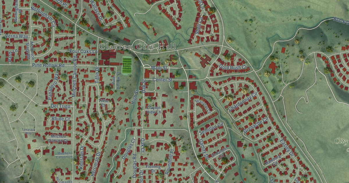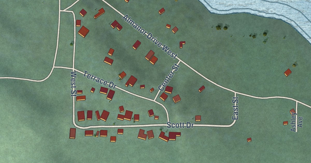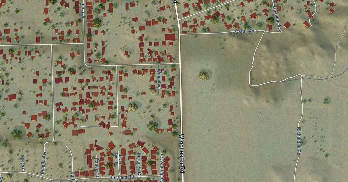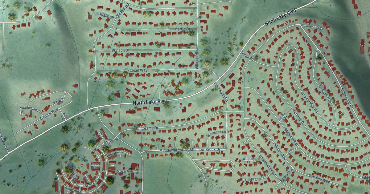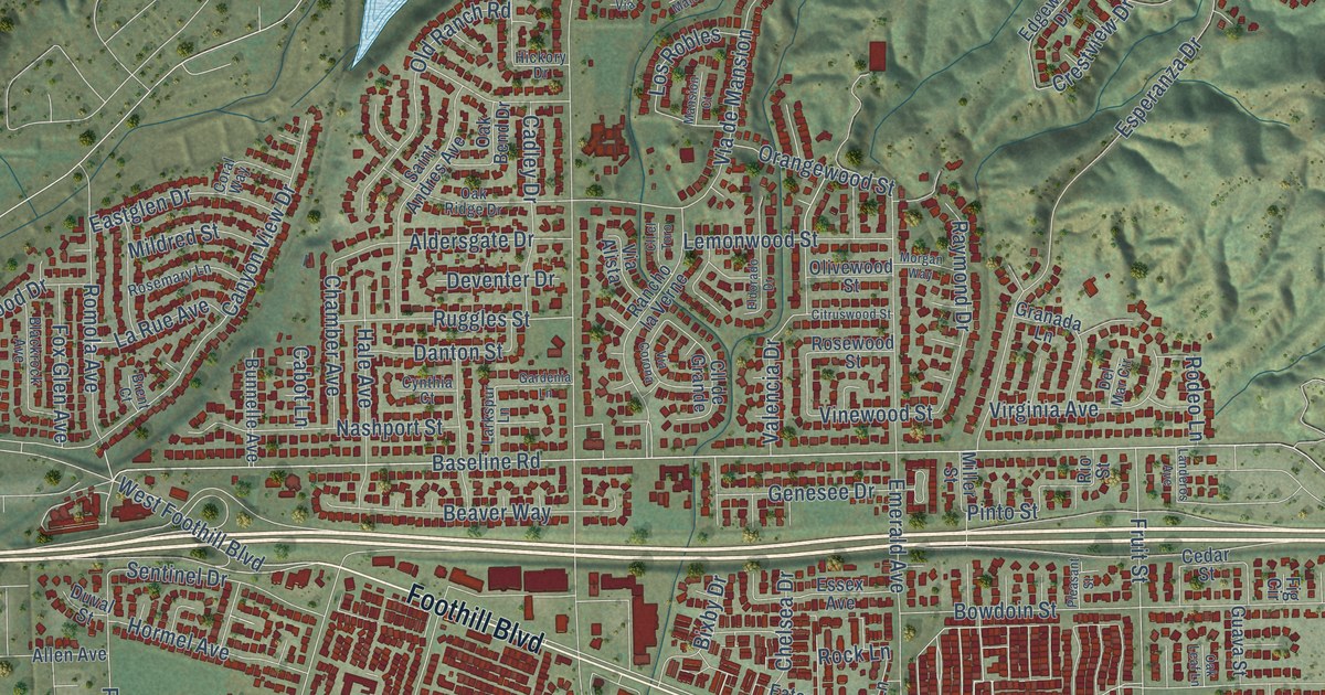
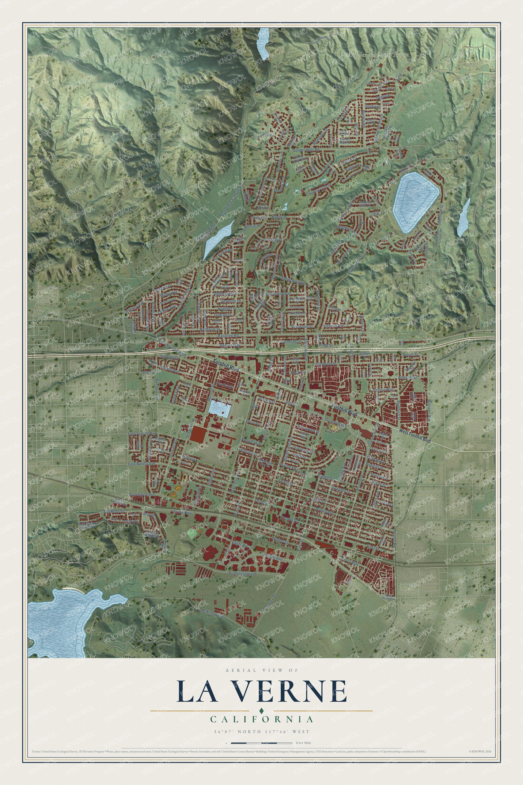
This beautifully detailed map of La Verne, California was created in 2026 using aerial imagery combined with modern topographical, census, street and landmark data. It’s a one-of-a-kind view of La Verne that combines accurate data with a vintage aesthetic. The map shows every building in its true location, many of the roads carry their names, and the shaded topographic relief shows the shape of the land.
Explore an aerial view of La Verne, California
On the map you’ll find La Verne City Hall and Angeles National Forest, along with Foothill Boulevard, Arrow Highway, West Foothill Boulevard, Baseline Road, East Bonita Avenue, Bonita Avenue, White Avenue, Williams Avenue, Fulton Road, Moreno Avenue, and more. If you look closely you can even find your house accurately drawn in its correct location. Zoom in on the preview to look for yours.
Did you know this piece of La Verne, California history?
From the Historical Society of La Verne: "The City of La Verne was founded in 1887 as Lordsburg, after its founder, promoter I.W. Lord."
Take a closer look at the La Verne map
Street and place names on the La Verne, California map
These names are printed on the map of La Verne, California.
Places: La Verne City Hall and Angeles National Forest.
Streets and roads: Foothill Boulevard, Arrow Highway, West Foothill Boulevard, Baseline Road, East Bonita Avenue, Bonita Avenue, White Avenue, Williams Avenue, Fulton Road, Moreno Avenue, Damien Avenue, Ramona Avenue.
More street names, A to Z
Aldersgate Drive, Aldon Avenue, Alessandro Avenue, Allen Avenue, Alta Vis, Amherst Street, Ancona Drive, Angus Drive, Arbor Circle, Avenue del Risco, Avila, Balsa Circle, Beaver Way, Beech Street, Bell Street, Benton Avenue, Bianca Street, Birdie Drive, Bixby Drive, Blackrock Avenue, Blossom Lane, Bluejay Street, Bogie Drive, Bolling Avenue, Bowdoin Street, Bradford Street, Brent Court, Brydon Road, Bunnelle Avenue, Butterfield Avenue, Cabot Lane, Cadley Drive, Calmbank Avenue, Canterwood Drive, Canyon Crest Drive, Canyon Park Lane, Canyon View Drive, Cedar Street, Chamber Avenue, Charmont Road, Chelsea Drive, Citruswood Street, Clear Falls Avenue, Cll Aragon, Cll de Grande, Cll el Toro, Colina de Oro, College Lane, Coral Way, Costa del Sol, Cottage Place, Country Club Drive, Craig Way, Crestview Drive, Curtiss Court, Cynthia Court, Danton Street, Dawn Avenue, De Anza Heights Drive, Del Mar Circle, Deventer Drive, Diane Drive, Dogwood Drive, Doral Street, Driver Lane, Durward Way, Duval Street, Eagle Drive, East Arrow Highway, East De Anza Heights Drive, Eastglen Drive, East Juanita Avenue, East Street, Eaton Place, Edgewood Drive, Eighth Street, Eldorado Drive, Eleventh Street, Elmcrest Street, El Nido, Emerald Avenue, Esperanza Drive, Essex Avenue, Esther Avenue, Evergreen Street, Fairplex Drive, Fifth Street, Fig Circle, Finch Street, First Street, Foxford Road, Fox Glen Avenue, Fruit Street, Galicia, Gambrel Gate, Gardenia Lane, Gem Circle, Genesee Drive, Golden Hills Road, Goleta Street, Granada Lane, Green View Lane, Grove Street, Guava Street, Hale Avenue, Hanawalt Street, Hayes Drive, Hickory Drive, Highland Drive, Holly Oak Street, Hormel Avenue, Hunter Trail, Juniper Street, Kendall Street, Kent Drive, Kimberly Avenue, Knollwood Avenue, Lakeview Drive, La Mesa Drive, Landeros Avenue, Lantana Street, La Paz Street, Larkspur Lane, La Rue Avenue, Laurie Lane, Lavender Place, Lemonwood Street, Live Oak Canyon Road, Logan Street, Lordsburg Court, Los Robles, Lunes, Lyford Drive, Madison Avenue, Magnolia Avenue, Majella Avenue, Mansion Court, Martes, McKinley Avenue, Meadow Glen Drive, Meadow Street, Melinda Lane, Mildred Street, Miller Street, Monterey Street, Morgan Way, Moss Circle, Mountain View Drive, Nashport Street, Ninth Street, North San Dimas Canyon Road, Oak Bend Drive, Oak Leaf Lane, Oak Ridge Drive, Old Ranch Road, Old Wheeler Road, Olivewood Street, Orangewood Street, Oriole Avenue, Oxford Circle, Paloma Avenue, Palomares Avenue, Pampas Circle, Park Avenue, Parkcrest Drive, Parkfield Lane, Paseo Avenue, Pattiglen Avenue, Peyton Road, Pintail Street, Pinto Street, Pleasant Street, Polaris Way, Prairie Falcon Drive, Price Drive, Puddingstone Drive, Quail Court, Rancho la Verne, Raymond Drive, Ridgecrest Drive, Ridgeview Drive, Rio Street, Roble Lane, Rock Lane, Rodeo Lane, Romola Avenue, Rosemary Lane, Rosewood Street, Rotary Drive, Ruggles Street, Saint Andres Avenue, San Dimas Canyon Road, Santiago, Second Street, Sedalia Avenue, Segovia, Sentinel Drive, Seventh Street, Shemiran Street, Sherwood Drive, Sierra Way, Sixth Street, Sloan Drive, Starline Street, Stephens Ranch Road, Stratford Way, Sun Rose Street, Sunset Peak Mtwy, Sycamore Drive, Tenth Street, Third Street, Topaz Lane, Towne Center Drive, Trickling Creek Drive, Valencia Drive, Valley View Place, Van Dusen Road, Vega Circle, Via Alista, Via Arroyo, Via Barcelona, Via Corona, Via del Marino, Via del Sol, Via de Mansion, Via Dicha, Via Marcia, Vinewood Street, Virginia Avenue, Vis del Sol, Vis de Oro, Walnut Street, West Arrow Highway, Wheeler Avenue, White Oaks Lane, Winfield Avenue, Worden Lane, Wright Avenue, Yeager Avenue.
See the La Verne, California map on a wall
The La Verne map as an 18 x 24 inch print in a black frame.

This beautifully detailed map of La Verne makes an attractive addition to your office, library, or den, and it can even be used to teach children the geography and history of the area. It also makes a great gift for anyone with La Verne roots. When you’re done exploring, click here to get your copy of the La Verne map.