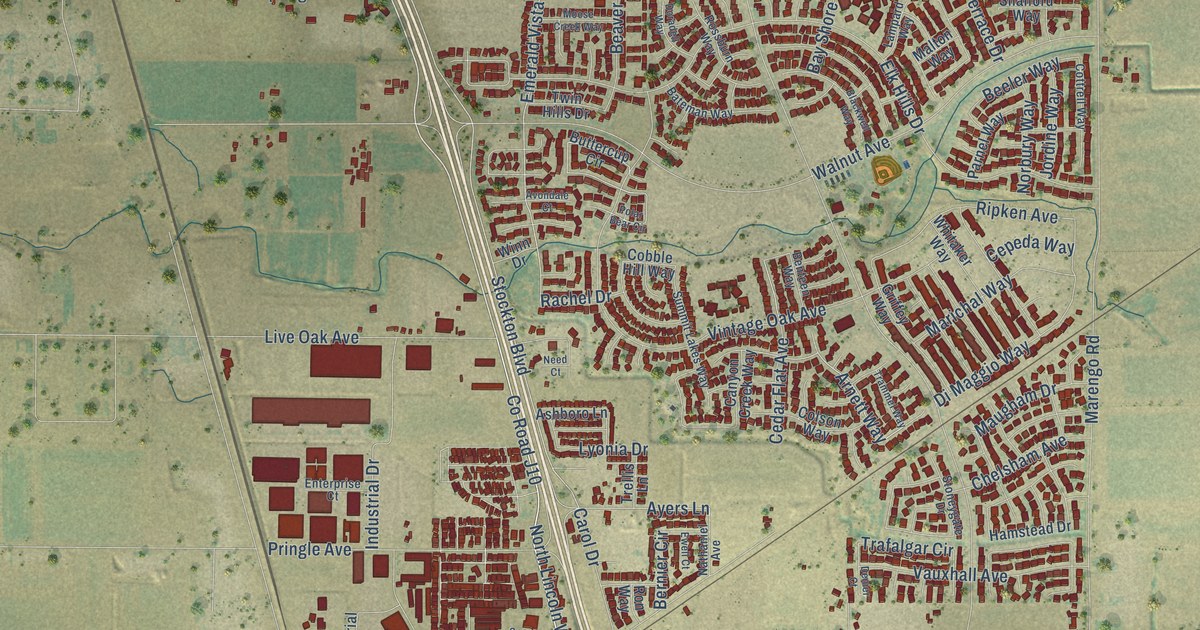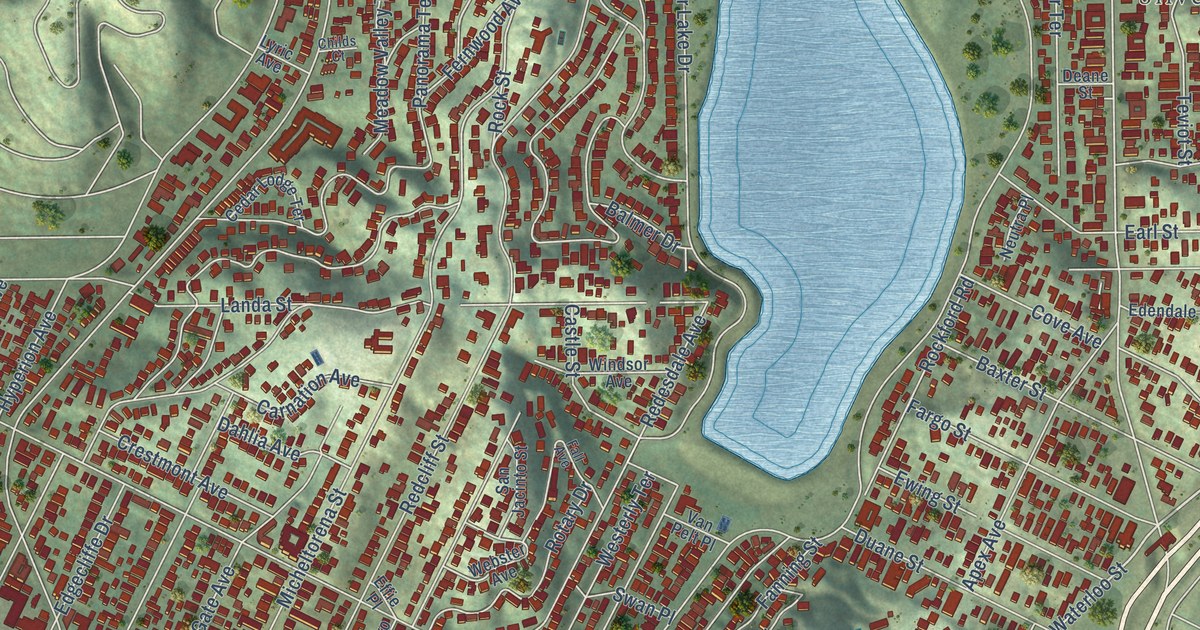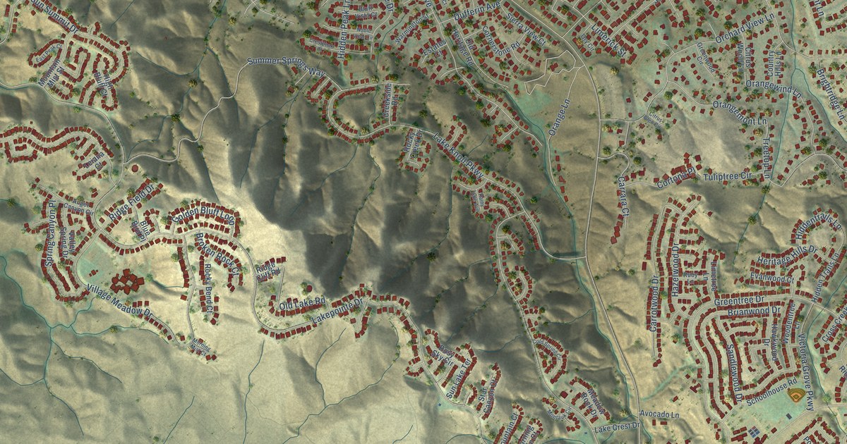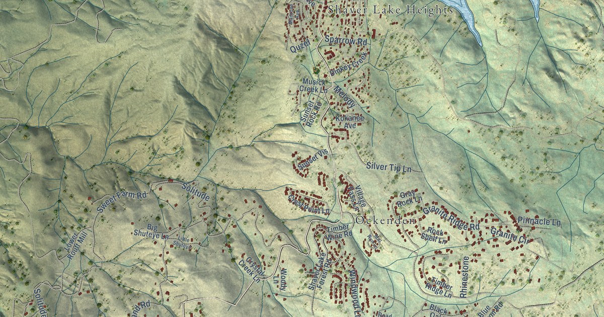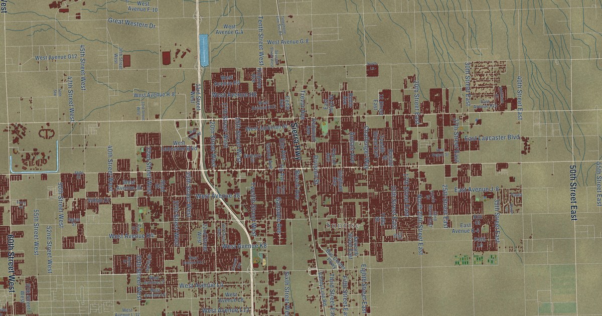
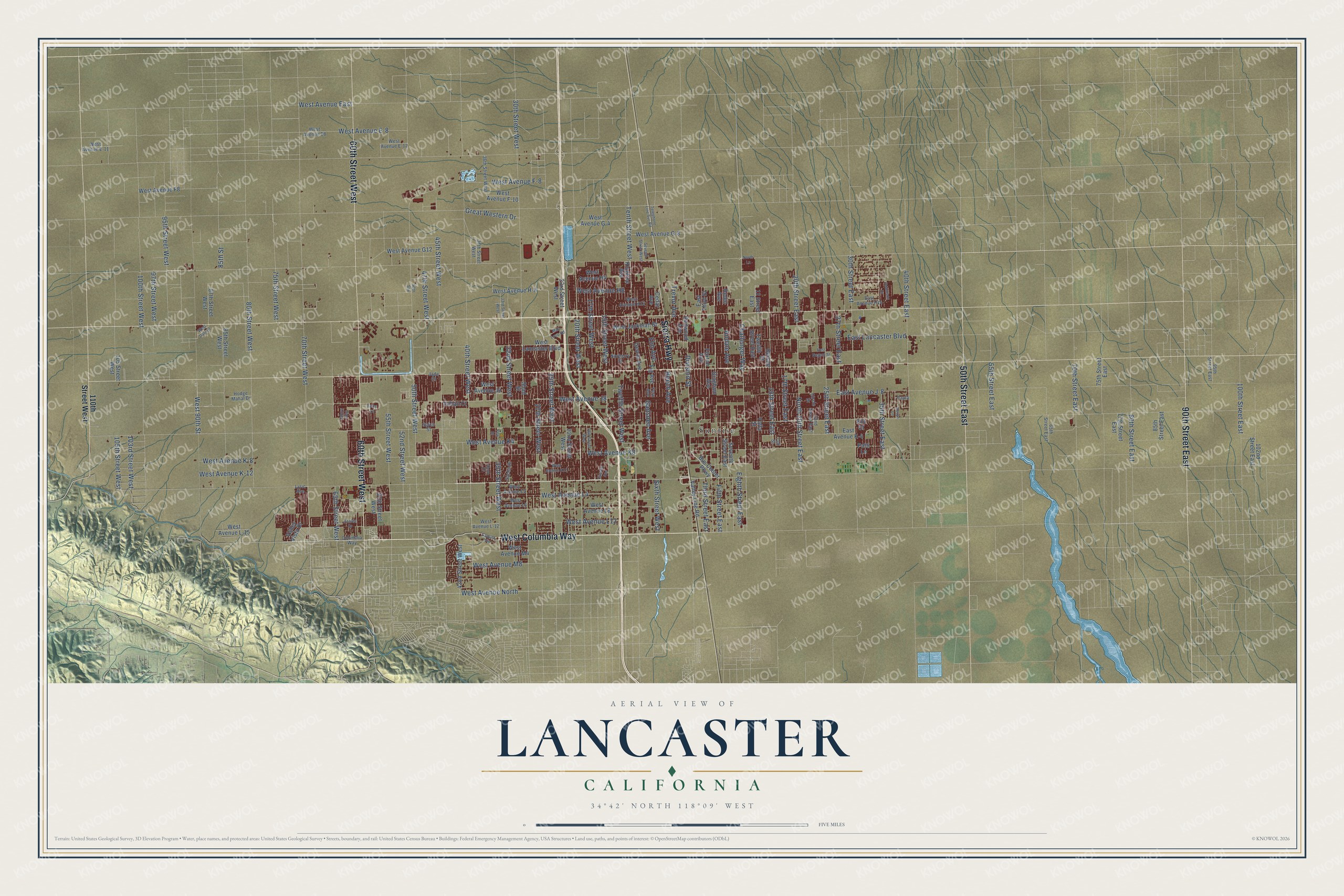
This beautifully detailed map of Lancaster, California was created in 2026 using aerial imagery combined with modern topographical, census, street and landmark data. It's a modern aerial view of Lancaster in Los Angeles County, California, that combines modern data with a vintage aesthetic. The roads feature printed names, and if you look closely you can find your exact house accurately shown in its correct location.
Explore an aerial view of Lancaster, California
On this map you'll find Sunrise, West Columbia Way, 60th Street West, Sierra Highway, 50th Street East, 90th Street East, West Avenue North, Fifth Street East, 20th Street West, West 90th Street, 40th Street West, 30th Street West, and more. Each red shape is a building, so zoom in on the preview and look for yours.
Here is a piece of Lancaster history, in the words of the record. The record at ohp.parks.ca.gov puts it this way: "Here, on October 7, 1858, the first Butterfield Overland Mail stage from the east arrived 21 days after leaving St."
Lancaster is a city in Los Angeles County. The Census Bureau counted 173,516 people here in 2020.
Take a closer look at the Lancaster map
Names on this map
These names are printed on this map.
Places: Sunrise.
Streets and roads: West Columbia Way, 60th Street West, Sierra Highway, 50th Street East, 90th Street East, West Avenue North, Fifth Street East, 20th Street West, West 90th Street, 40th Street West, 30th Street West, 70th Street West.
More street names, A to Z
12 Street East, 15th Street East, 15th Street West, 17th Street East, 17th Street West, 18th Street West, 20th Street East, 22nd Street East, 22nd Street West, 23rd Street West, 25th Street East, 25th Street West, 27th Street East, 27th Street West, 30th Street East, 32nd Street West, 33rd Street West, 35th Street East, 35th Street West, 36th Street West, 37th Street West, 40th Street East, 42nd Street West, 45th Street West, 47th Street West, 50th Street West, 50th Stw, 52nd Street West, 55th Street East, 55th Street West, 57th Street West, 65th Street East, 65th Street West, 70th Street East, 75th Street East, 75th Street West, 77th Street East, 80th Street East, 80th Street West, 85th Street, 85th Street East, 85th Street West, 87th Street West, 95th Street East, 95th Street West, 97th Street West, 100th Street East, 100th Street West, 102nd Street East, 103rd Street West, 105 Street West, 105th Street West, 110th Street West, Alexo Drive, Andale Avenue, Azalea Drive, Beech Avenue, Benald Street, Bus Center Parkway, Camino Vis, Cedar Avenue, Challenger Way, Cinema Avenue, Circle Drive, Columbia Way, Devyn Lane, Division Street, East Avenue H14, East Avenue J-8, East Avenue K-4, East Lancaster Boulevard, East Nugent Street, East Third Street, Eighth Street East, Elm Avenue, Fern Avenue, Fig Avenue, Forry Court, Foxton Avenue, Gadsden Avenue, Genoa Avenue, Gingham Avenue, Great Western Drive, Hodge Mahal Drive, Jade Court, Kilt Court, Kingtree Avenue, Lyric Avenue, Mall Loop Road, Norberry Street, North 20th Street East, North Lane, Patti Lane, Paula, Redwood Avenue, Robinson Drive, Rodin Avenue, Sachs Drive, Seventh Street East, Seventh Street West, Shad Street, Sixth Street West, Spice Street, Tahoe Way, Tali Street, Telephone Line Svc Road, Tenth Street West, Third Street East, Trevor Avenue, Twelfth Street East, Twelfth Street West, Vahan Court, Valley Line Road, Valley Vista Drive, West Avenue E-8, West Avenue E-11, West Avenue E-12, West Avenue E8, West Avenue East, West Avenue F-8, West Avenue F-10, West Avenue F8, West Avenue G-4, West Avenue G-8, West Avenue G12, West Avenue H-8, West Avenue H4, West Avenue H8, West Avenue H12, West Avenue J4, West Avenue J8, West Avenue K-8, West Avenue K-12, West Avenue K4, West Avenue K8, West Avenue K12, West Avenue L-12, West Avenue L-15, West Avenue L2, West Avenue L4, West Avenue L6, West Avenue L8, West Avenue L12, West Avenue M4, West Avenue M8, West Dale Drive, West Jackman Street, West Lancaster Boulevard, Yaffa Street, Yew Street.
Created by KNOWOL in 2026. The buildings are small red shapes, the roads carry their printed names, and shaded relief shows the shape of the land. The title panel reads "AERIAL VIEW OF LANCASTER CALIFORNIA" with 34°42' NORTH 118°09' WEST.
It suits a den, a classroom or a front hall, and it makes a gift for anyone with Lancaster roots. Open the preview and find the block you know. See sizes and frames for the Lancaster map.