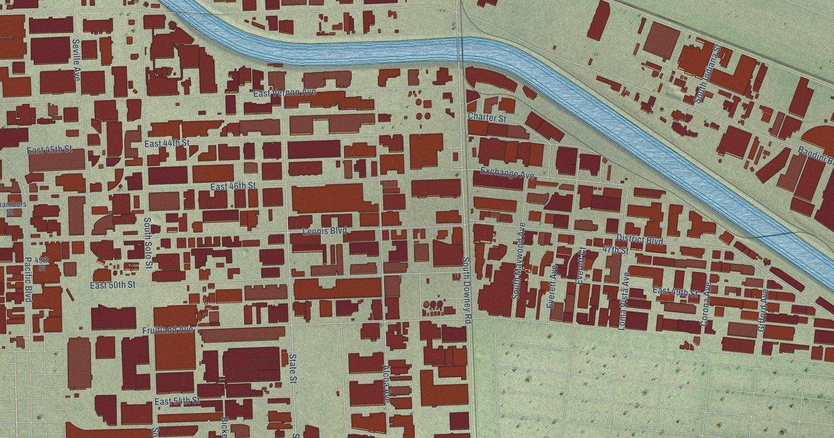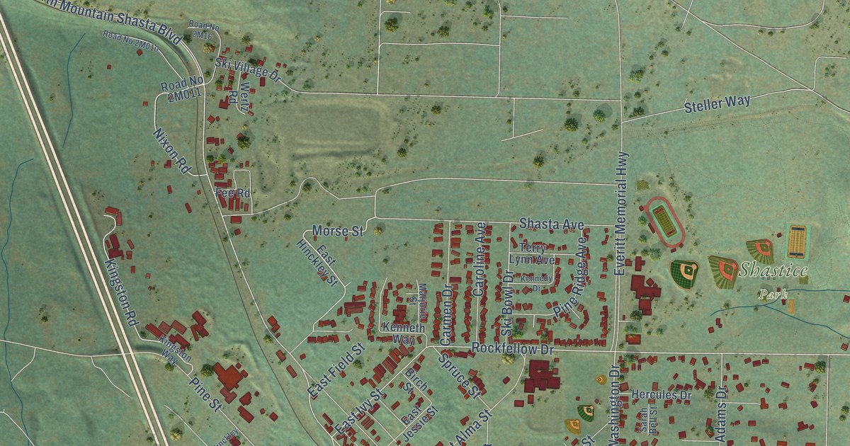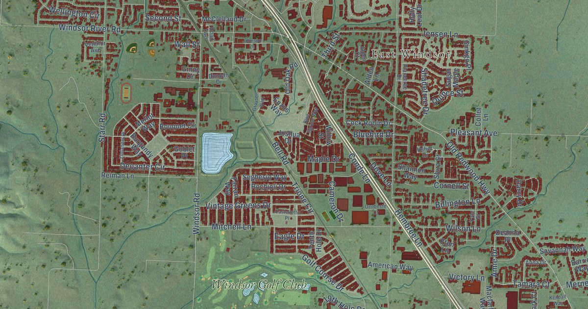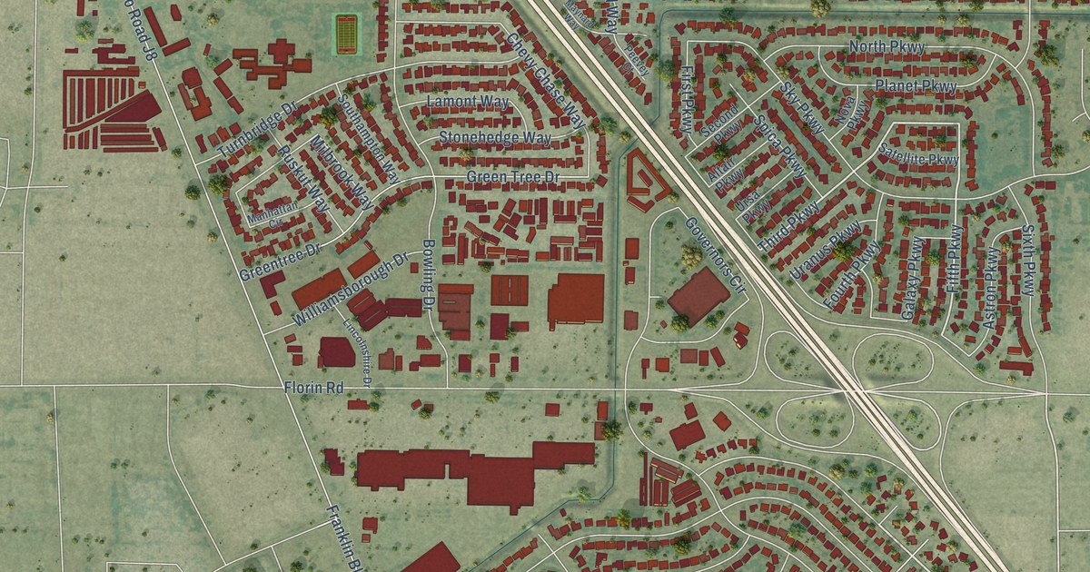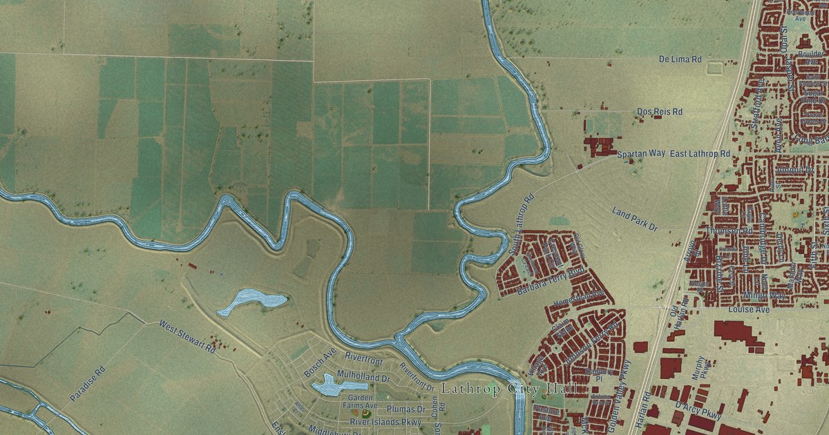
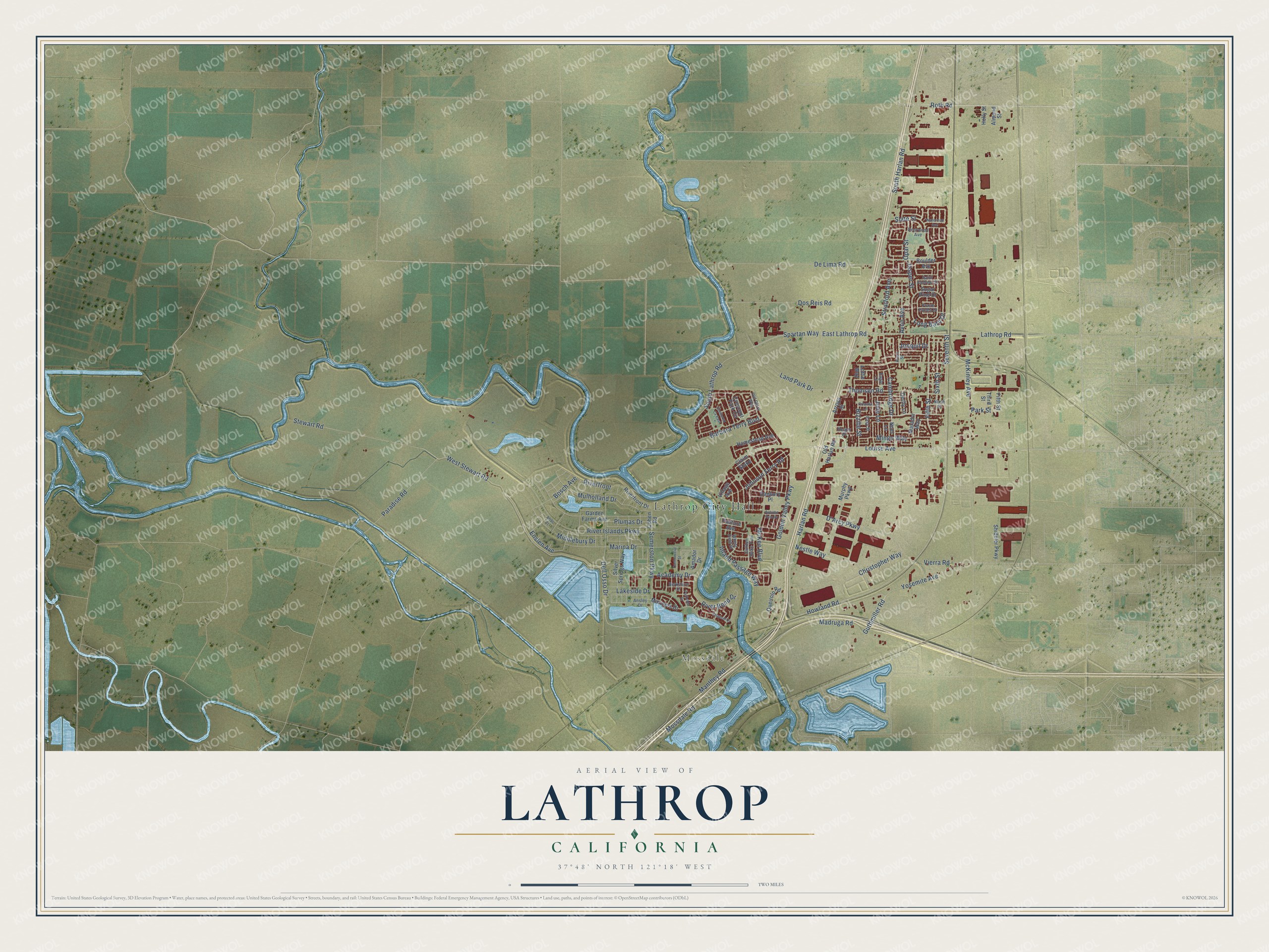
This beautifully detailed map of Lathrop, California was created in 2026 using aerial imagery combined with modern topographical, census, street and landmark data. It's a modern aerial view of Lathrop in San Joaquin County, California, that combines modern data with a vintage aesthetic. The roads feature printed names, and if you look closely you can find your exact house accurately shown in its correct location.
Explore an aerial view of Lathrop, California
On this map you'll find Lathrop City Hall, Mossdale, Harlan Road, Louise Avenue, South Harlan Road, Howland Road, Fifth Street, Lathrop Road, Seventh Street, East Lathrop Road, Spartan Way, Inland Passage Way, and more. Each red shape is a building, so zoom in on the preview and look for yours.
Every town has a first chapter, and Lathrop is no exception. The San Joaquin County History puts it this way: "The town was named after Charles Lathrop, the brother-in-law of Stanford, and the Central Pacific did everything possible to establish a town as a rival to Stockton."
Lathrop is a city in San Joaquin County. The Census Bureau counted 28,701 people here in 2020.
Take a closer look at the Lathrop map
Names on this map
These names are printed on this map.
Places: Lathrop City Hall and Mossdale.
Streets and roads: Harlan Road, Louise Avenue, South Harlan Road, Howland Road, Fifth Street, Lathrop Road, Seventh Street, East Lathrop Road, Spartan Way, Inland Passage Way, South Lathrop Road, Plumas Drive.
More street names, A to Z
Academy Drive, Almond Street, Amador Drive, Ansley Drive, Arroyo Street, Atlas Court, Autumn Rain Drive, Avon Avenue, Avon Street, Barbara Terry Boulevard, Berkshire Drive, Bizzibe Street, Bosch Avenue, Boulder Avenue, Cambridge Drive, Channel Drive, Christopher Way, Claim Stake, Cohen Road, Commercial Street, Crescent Park Circle, D'Arcy Parkway, Danbury Place, Deerwood Avenue, De Lima Road, Dell Osso Drive, Derby Lane, Dos Reis Road, Eagle Lane, Easy Street, Enslen Avenue, Garden Farms Avenue, Golden Spike Trail, Golden Valley Parkway, Guthmiller Road, Holly Street, Homestead Avenue, Jasper Street, Johnson Ferry Road, Jonquil Drive, Julie Lane, Lakeside Drive, Land Park Drive, Long Barn Drive, Lottie Way, Madruga Road, Manthey Road, Marina Drive, Mariners Drive, Matador Way, McKee Boulevard, McKinley Avenue, Middlebury Drive, Mingo Way, Mossdale Road, Mulholland Drive, Murphy Parkway, Nestle Way, Noel Lane, North Street, Old Glory Way, Old Harlan Road, Opal Street, Orlando Lane, Paradise Road, Parkside Drive, Park Street, Pasture Avenue, Praire Dunes Drive, Queirolo Road, Reiger Drive, River Bend Drive, Riverfront, Riverfront Drive, River Islands Parkway, Roth Road, Saint Andrew Street, Sheltered Cv East, Shideler Parkway, Silver Springs Way, Sixth Street, Slate Street, Somerston Parkway, Stewart Road, Stratford Avenue, Sugar Pine Drive, Third Street, Thomsen Road, Vierra Road, Village Avenue, Waterman Avenue, West Stewart Road, Wheat Field Street, Yosemite Avenue.
Created by KNOWOL in 2026. The buildings are small red shapes, the roads carry their printed names, and shaded relief shows the shape of the land. The title panel reads "AERIAL VIEW OF LATHROP CALIFORNIA" with 37°48' NORTH 121°18' WEST.
Hang it in the hallway, the office or the cabin, or give it to someone who left Lathrop and still calls it home. Open the preview and look for a street you know. See sizes and frames for the Lathrop map.