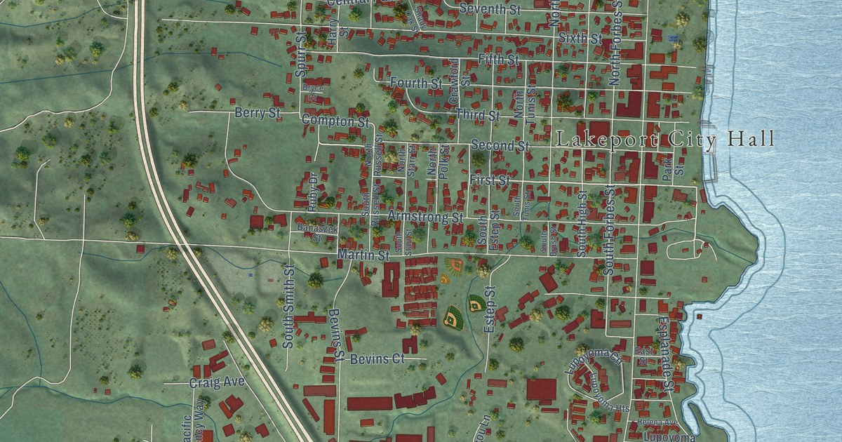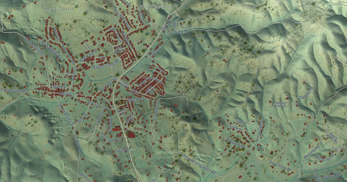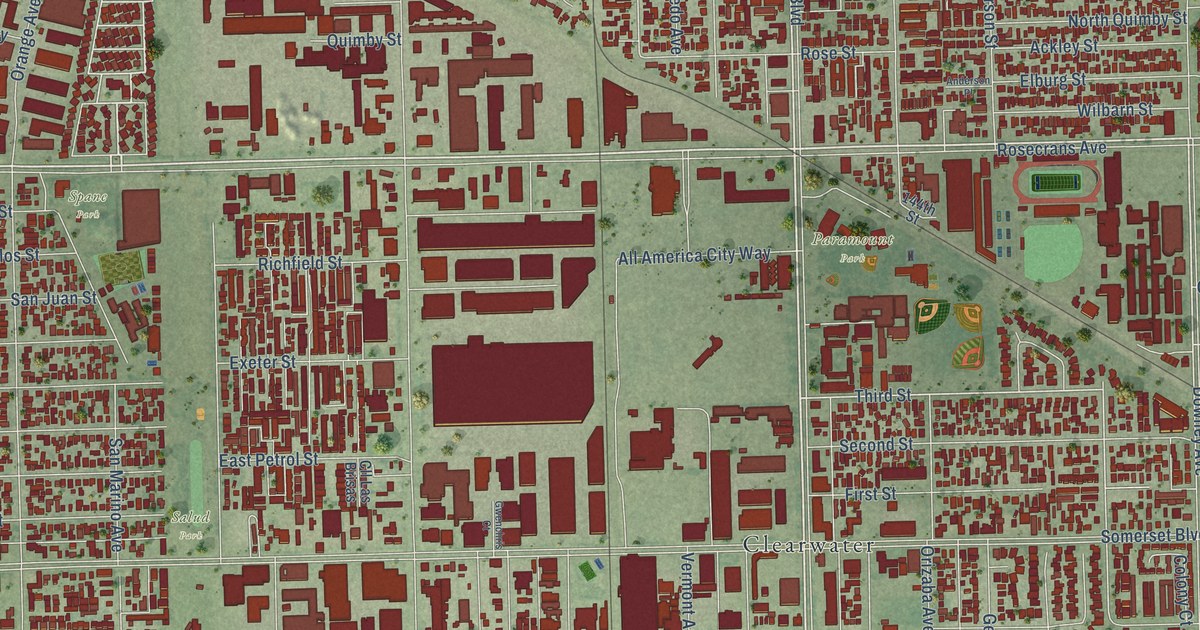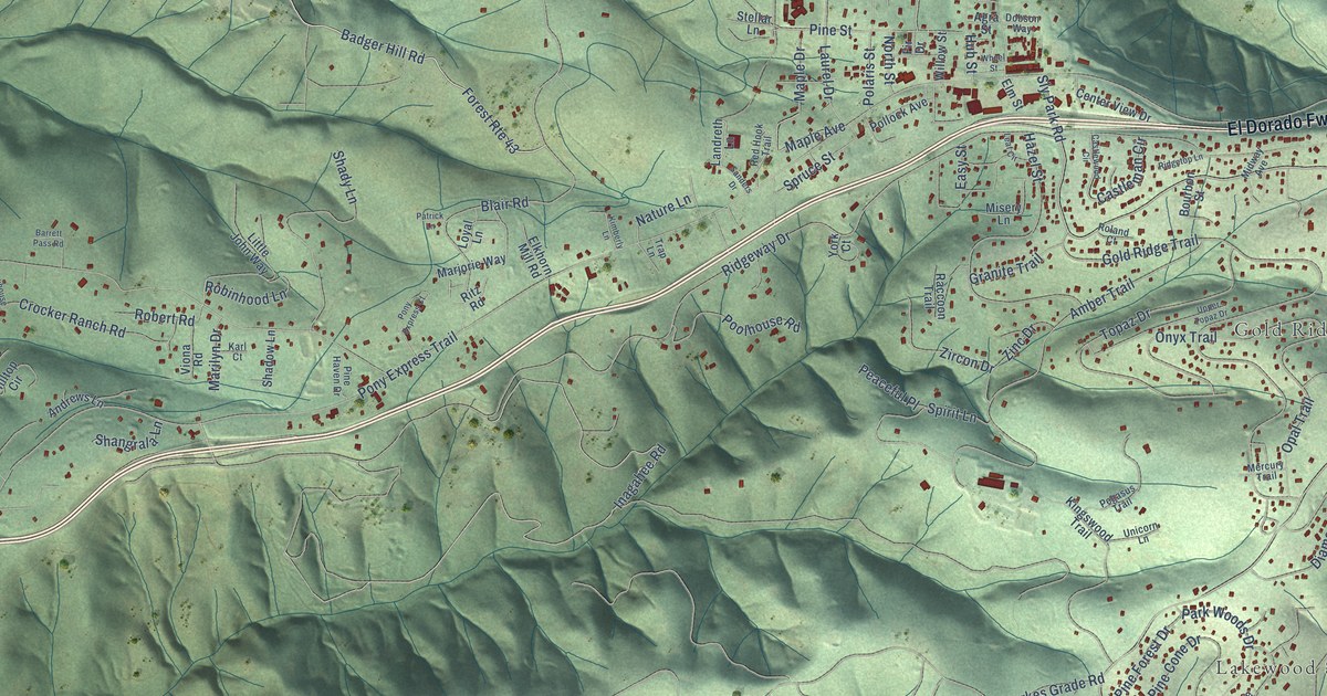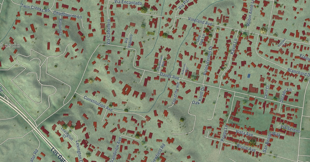
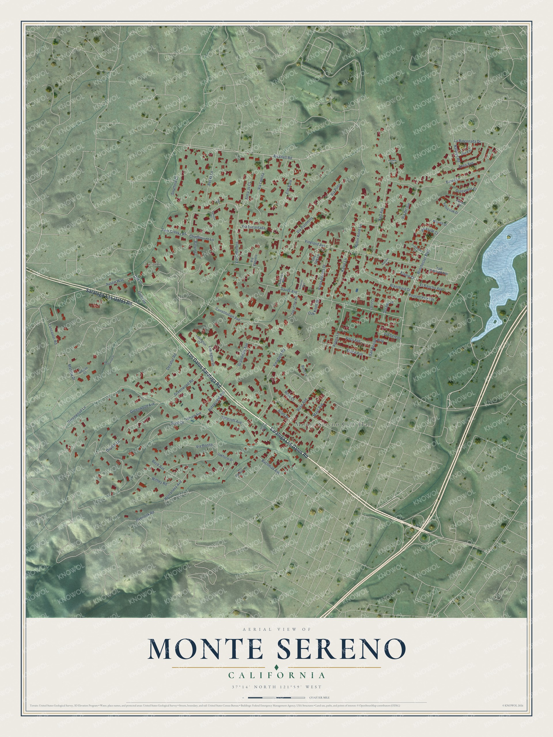
This beautifully detailed map of Monte Sereno, California was created in 2026 using aerial imagery combined with modern topographical, census, street and landmark data. It's a modern aerial view of Monte Sereno in Santa Clara County, California, that combines modern data with a vintage aesthetic. The roads feature printed names, and if you look closely you can find your exact house accurately shown in its correct location.
Explore an aerial view of Monte Sereno, California
On this map you'll find Monte Sereno City Hall, Austin, Los Gatos Saratoga Road, Saratoga Los Gatos Road, Saratoga-Los Gatos Road, Bicknell Road, Winchester Boulevard, Daves Avenue, Greenwood Lane, Withey Road, Ridgecrest Avenue, Karl Avenue, and more. Each red shape is a building, so zoom in on the preview and look for yours.
Monte Sereno has a story worth telling. The National Park Service puts it this way: "The John Steinbeck House, Greenwood Lane, Monte Sereno, is one of several places John Steinbeck lived in California."
Monte Sereno is a city in Santa Clara County. The Census Bureau counted 3,479 people here in 2020.
Take a closer look at the Monte Sereno map
Names on this map
These names are printed on this map.
Places: Monte Sereno City Hall, Austin and Elm Park.
Streets and roads: Los Gatos Saratoga Road, Saratoga Los Gatos Road, Saratoga-Los Gatos Road, Bicknell Road, Winchester Boulevard, Daves Avenue, Greenwood Lane, Withey Road, Ridgecrest Avenue, Karl Avenue, Vineland Avenue, Twin Creeks Road.
More street names, A to Z
Alma Jo Court, Arlee Drive, Austin Way, Bachman Avenue, Bancroft Avenue, Banyan Lane, Barry Lane, Beck Avenue, Becky Lane, Blanchard Drive, Blythswood Drive, Bruce Avenue, Carril Court, Chadbourne Lane, Clara Street, Constitution Avenue, Creekside Court, Decatur Road, Deodar Lane, Dorado Lane, East Vineland Avenue, Eaton Lane, Elaine Court, El Rancho Avenue, Equestrian Way, Fairway Circle, Grandview Avenue, Greenwood Avenue, Greenwood Road, Grosvenor Court, Hernandez Avenue, Hillvale Avenue, Janor Court, Kavin Lane, Kirkorian Way, Lancaster Road, La Rinconada Drive, Lexington Court, Lexington Drive, Matilija Drive, Mays Avenue, Millrich Drive, Natalye Road, Oak Drive, Oakhurst Drive, Oak Knoll Drive, One Oak Lane, Overlook Road, Palos Verdes Drive, Parkside Court, Pleasant View Avenue, Poppy Lane, Quito Road, Robin Anne Lane, Romita Court, Rose Avenue, Rose Court, San Benito Way, Scott Drive, Serena Vista Court, Sereno Court, Stratford Court, Tamson Court, Top of the Hill, Valley Oak Drive, Via Bonita, Via Caballero, Via del Sur, Via Encantada, Via Lomita, Via Palomino, Via Pinto, Via Sereno, Via Vaquero, Viewfield Road, Vineland Court, Vista Avenue, West Ellenwood Avenue, Zena Avenue.
Created by KNOWOL in 2026. The buildings are small red shapes, the roads carry their printed names, and shaded relief shows the shape of the land. The title panel reads "AERIAL VIEW OF MONTE SERENO CALIFORNIA" with 37°14' NORTH 121°59' WEST.
It looks right in a kitchen, an office or a den, and it's a gift for anyone who grew up in Monte Sereno or moved away. Open the preview and find your street. See sizes and frames for the Monte Sereno map.