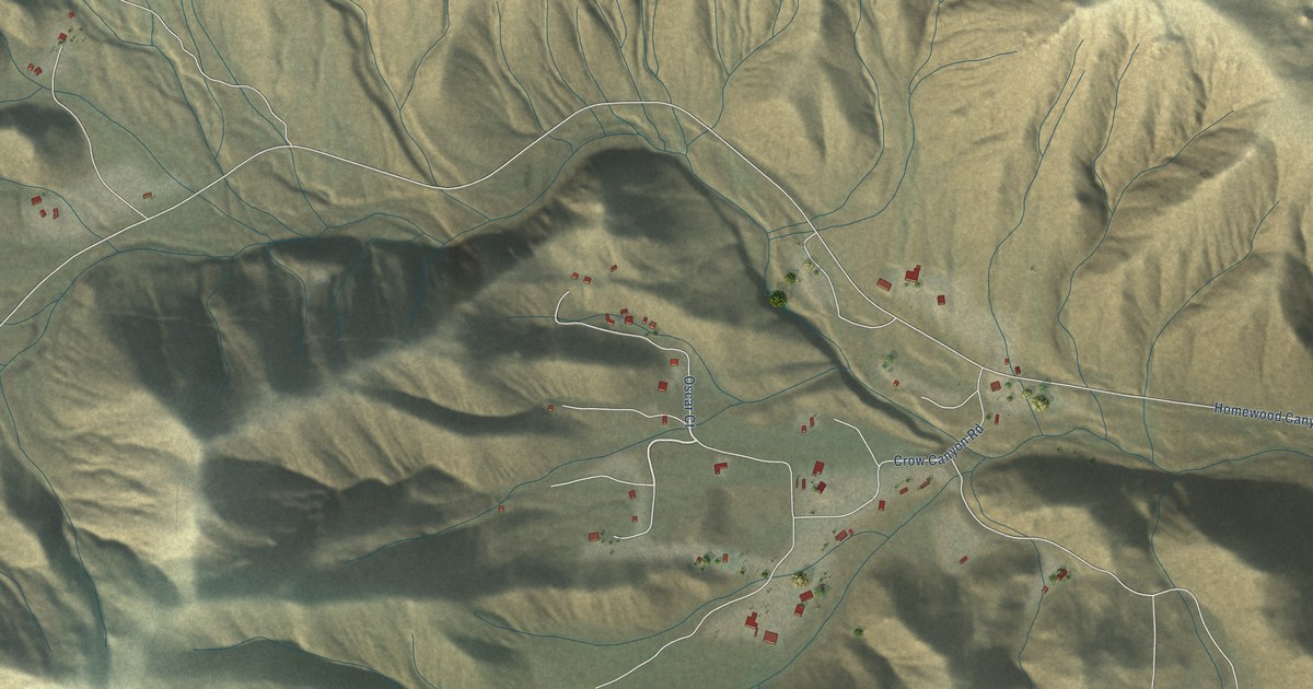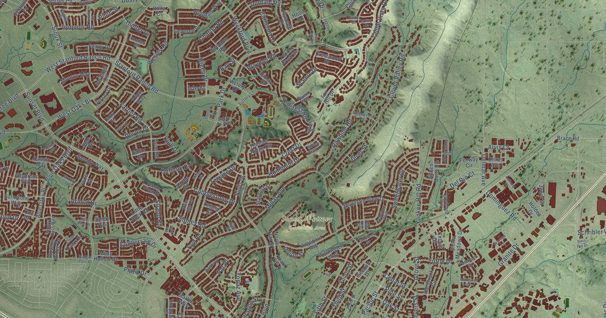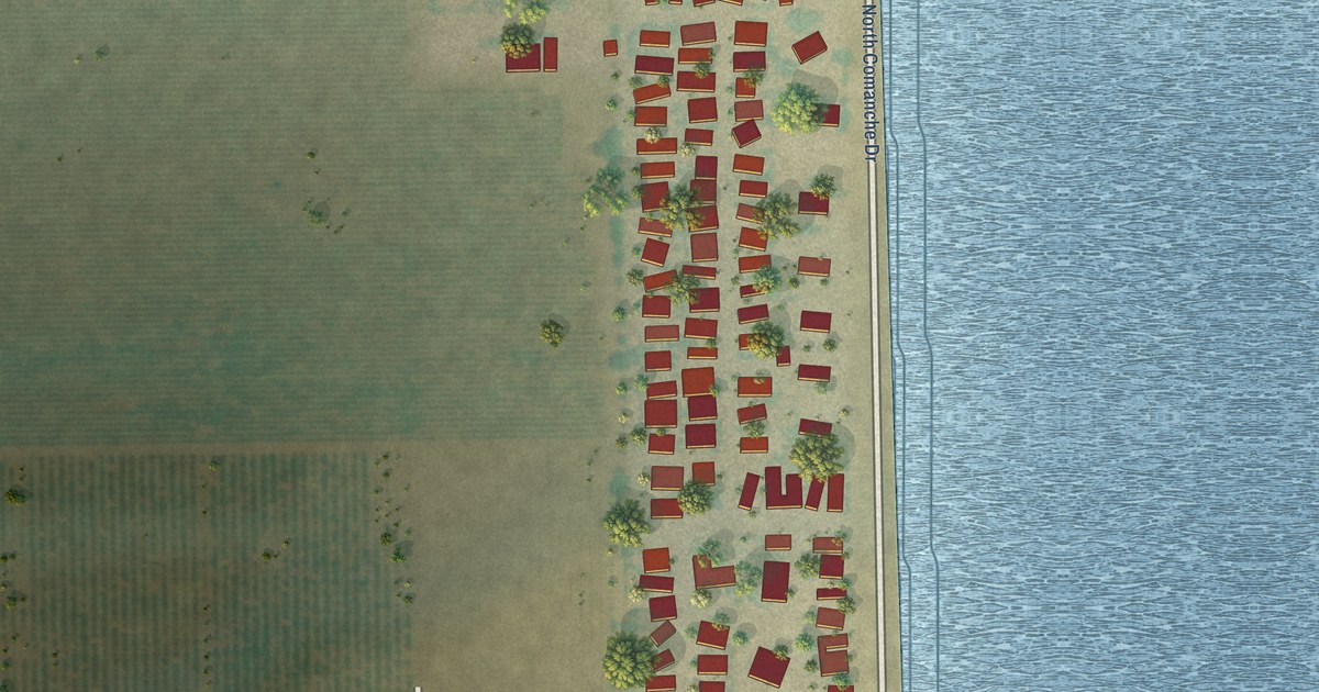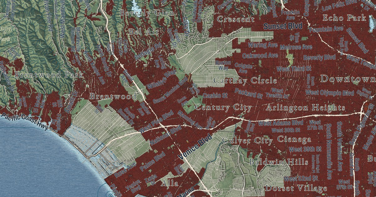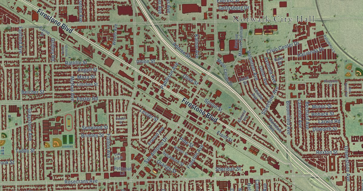
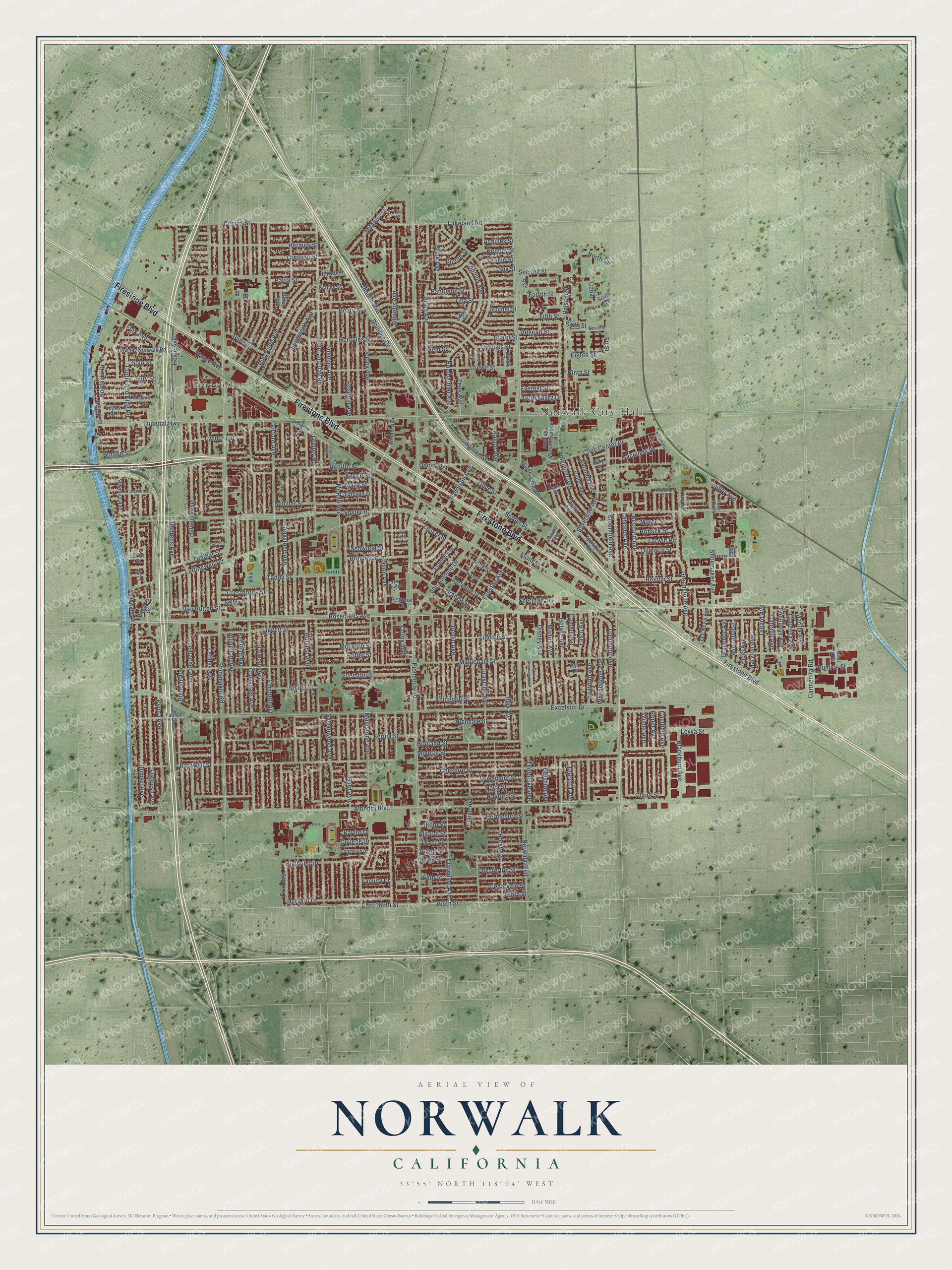
This beautifully detailed map of Norwalk, California was created in 2026 using aerial imagery combined with modern topographical, census, street and landmark data. It’s a one-of-a-kind view of Norwalk that combines accurate data with a vintage aesthetic. The map shows every building in its true location, many of the roads carry their names, and the shaded topographic relief shows the shape of the land.
Explore an aerial view of Norwalk, California
On the map you’ll find Norwalk City Hall and Studebaker, along with Firestone Boulevard, Dollison Drive, Orr and Day Road, Rosecrans Avenue, Bloomfield Avenue, Foster Road, Norwalk Boulevard, Leffingwell Road, Adoree Street, Orange Street, and more. If you look closely you can even find your house accurately drawn in its correct location. Zoom in on the preview to look for yours.
Did you know this piece of Norwalk, California history?
From the City of Norwalk: "By the early 1900's, Norwalk had become an established dairy center. Norwalk was also the home of some of the largest sugar beet farms in all of Southern California during this era."
Take a closer look at the Norwalk map
Street and place names on the Norwalk, California map
These names are printed on the map of Norwalk, California.
Places: Norwalk City Hall and Studebaker.
Streets and roads: Firestone Boulevard, Dollison Drive, Orr and Day Road, Rosecrans Avenue, Bloomfield Avenue, Foster Road, Norwalk Boulevard, Leffingwell Road, Adoree Street, Orange Street, Pioneer Boulevard, Alondra Boulevard.
More street names, A to Z
160th Street, 161st Street, 162nd Street, 163rd Street, 164th Street, 165th Street, 166th Street, Abingdon Street, Achilles Street, Adonis Avenue, Aegean Street, Alburtis Avenue, Algardi Street, Allard Street, Allingham Avenue, Angell Street, Arlee Avenue, Arrey Avenue, Ash, Avenue Manuel Salinas, Avonlea Avenue, Balsam Street, Barnwall Street, Bayla Street, Baylor Drive, Bayside Drive, Beaty Avenue, Bechard Avenue, Behrens Avenue, Belcher Street, Belfair Street, Belshire Avenue, Benfield Avenue, Ben Nevis Avenue, Best Avenue, Blackburn Avenue, Bombardier Avenue, Borson Street, Branscomb Street, Briar Street, Brimley Street, Brink Avenue, Buell Street, Busiris Avenue, Cabrillo Avenue, Cameo Avenue, Cardell Street, Carmenita Road, Carne Street, Caulfield Avenue, Cecilia Street, Cedar, Cedarvale Street, Cheshire Street, Chesterton Street, Circle, Civic Center Drive, Claressa Avenue, Claretta Avenue, Clarkdale Avenue, College Drive, Corby Avenue, Cresson Street, Crestbrook Street, Crewe Street, Crossdale Avenue, Curtis and King Road, Cyclops Street, Dace Street, Dalwood Avenue, Dartmoor Avenue, Dartmouth Drive, Del Rio Court, Devlin Avenue, Dilworth Street, Dinard Avenue, Disney Avenue, Domart Avenue, Downey Norwalk Road, Dumont Avenue, Dune Street, East 166th Street, Edgewater Drive, Eighth Street, Elaine Avenue, Elizabeth Street, Elmcroft Avenue, Elmhurst Drive, Eric Avenue, Erwood Avenue, Esmond Avenue, Esther Street, Everest Street, Everston Street, Excelsior Drive, Faculty Drive, Fairford Avenue, Fairton Street, Falco Avenue, Ferina Street, Fidel Avenue, Fifth Street, Fir Street, Flallon Avenue, Flatbush Avenue, Foix Avenue, Fourth Street, Front Street, Funston Avenue, Gard Avenue, Gem Street, Gettysburg Drive, Goller Avenue, Gracebee Avenue, Grayland Avenue, Graystone Avenue, Greenstone Avenue, Gridley Road, Gwynne Avenue, Hacienda Drive, Halcourt Avenue, Harvard Drive, Harvest Avenue, Hayford Street, Hebe Avenue, Helwig Avenue, Hercules Street, Hermes Street, Hermosura Street, Highdale Street, Hoback Street, Hopland Street, Horst Avenue, Hoxie Avenue, Ibex Avenue, Imperial Highway, Ivy Court, Jersey Avenue, Kalnor Avenue, Katy Street, Kenney Street, Lakeland Road, Lancelot Avenue, Larwin Road, Leeds Street, Lefloss Avenue, Leibacher Avenue, Lesser Street, Leyva Street, Liggett Street, Lindale Street, Littchen Street, Loch Nevis Avenue, Longworth Avenue, Lowemont Street, Lyndora Street, Madris Avenue, Maidstone Avenue, Mapledale Street, Marilla Avenue, Markdale Avenue, Maryton Avenue, Maza Street, McLaren Street, McRae Avenue, Meadow Road, Metro Center Drive, Milano Avenue, Miller Avenue, Molette Street, Mondon Avenue, Muroc Street, Nance Avenue, Nava Street, Newmire Avenue, Ninth Street, Nordesta Drive, North Circle, Offley Avenue, Oland Street, Olive Street, Oracle Street, Paddison Avenue, Painter Avenue, Paiz Place, Palomino Lane, Pantheon Street, Petticoat Lane, Pine Street, Piuma Avenue, Pluton Street, Pontlavoy Avenue, Potter Street, Priscilla Street, Pumice Street, Ratliffe Street, Rexton Street, Ringwood Avenue, Roper Avenue, Roseton Avenue, Ruchel Street, San Antonio Drive, Seaforth Avenue, Second Street, Senwood Street, Seventh Street, Sheridan Street, Shoemaker Avenue, Shy Street, Sibley Street, Silverbow Avenue, Sixth Street, Solo Street, South Circle, South Thornlake Avenue, Sproul Street, Spry Street, Studebaker Road, Summer Avenue, Sycamore Street, Sylvanwood Avenue, Taddy Street, The Plaza, Thistle Avenue, Thornlake Avenue, Tina Street, Tolly Street, Tonibar Street, Union Street, Van Ruiten Street, Vista Verde Drive, Volunteer Avenue, Walnut Street, Wheatstone Avenue, Wilder Avenue, Woods Avenue, Zeus Avenue.
See the Norwalk, California map on a wall
The Norwalk map as an 18 x 24 inch print in a black frame.

This beautifully detailed map of Norwalk makes an attractive addition to your office, library, or den, and it can even be used to teach children the geography and history of the area. It also makes a great gift for anyone who grew up in Norwalk or moved away. When you’re done exploring, click here to get your copy of the Norwalk map.