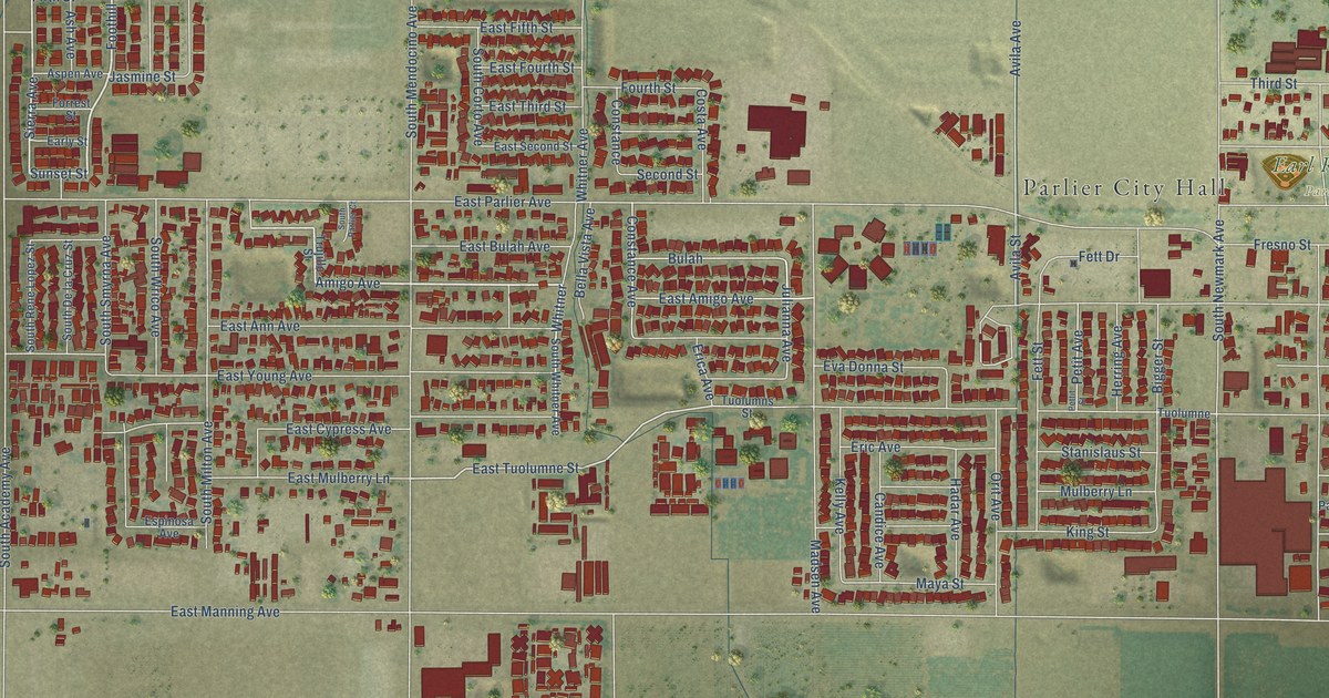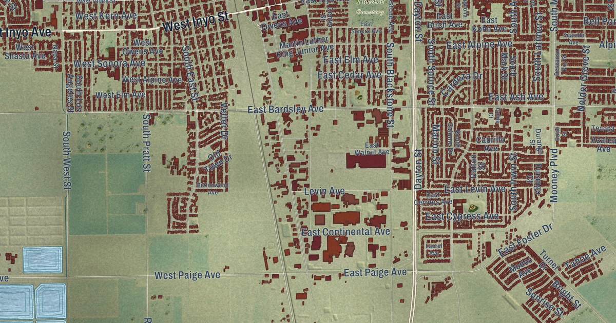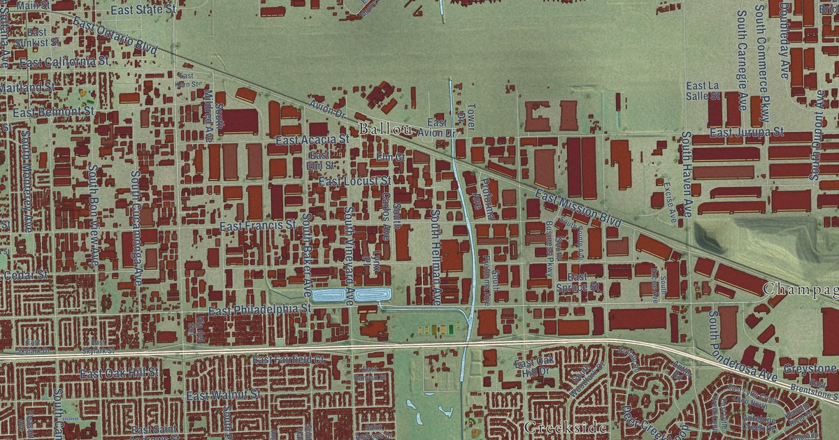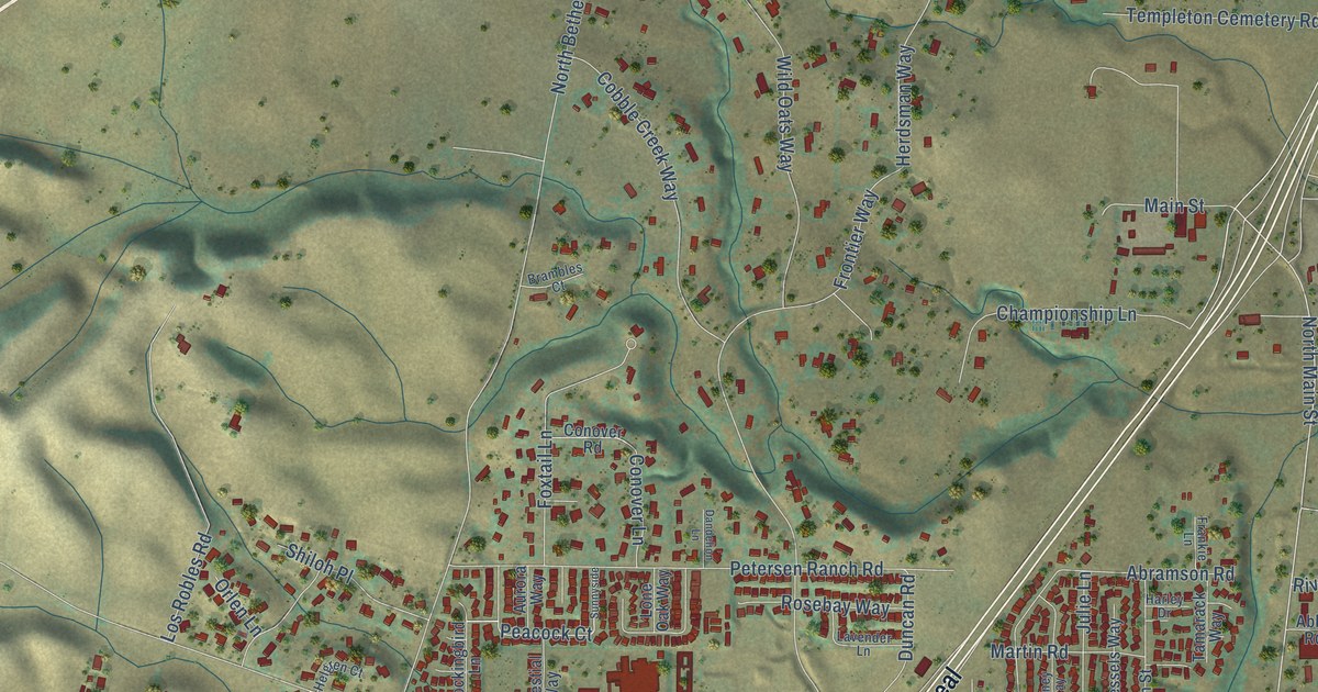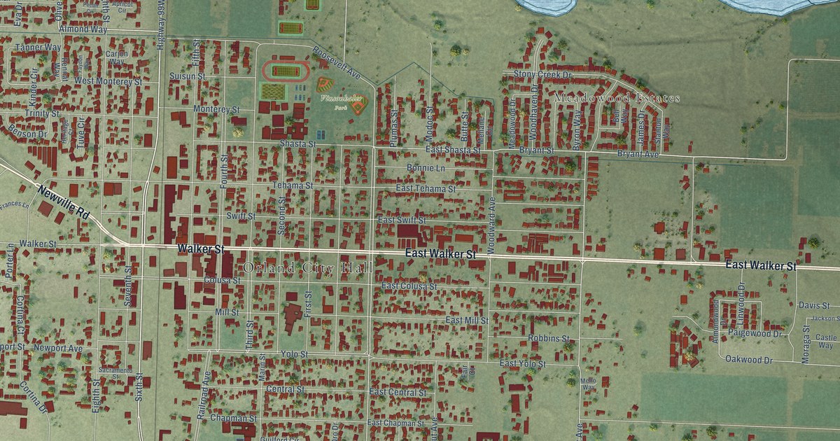
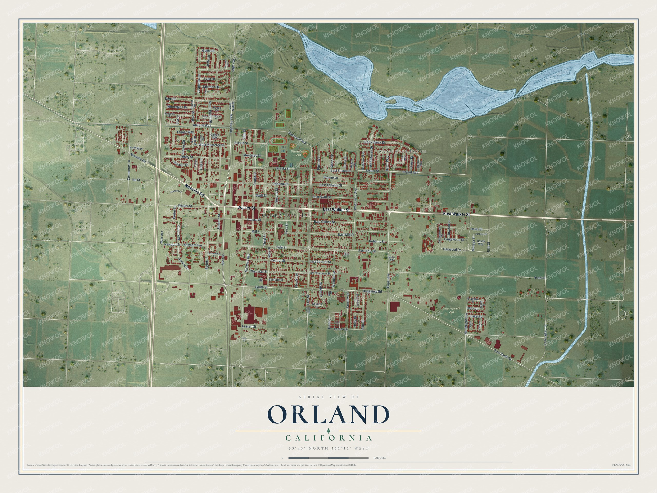
This beautifully detailed map of Orland, California was created in 2026 using aerial imagery combined with modern topographical, census, street and landmark data. It's a modern aerial view of Orland in Glenn County, California, that combines modern data with a vintage aesthetic. The roads feature printed names, and if you look closely you can find your exact house accurately shown in its correct location.
Explore an aerial view of Orland, California
On this map you'll find Orland City Hall, Meadowood Estates, Lely Aquatic Park, Vinsonhaler Park, Newville Road, Walker Street, East Walker Street, Highway 99W, Sixth Street, Bryant Avenue, Almond Way, Bryant Street, and more. Each red shape is a building, so zoom in on the preview and look for yours.
Orland is a city in Glenn County. The Census Bureau counted 8,298 people here in 2020. The map prints the town name in its title panel, with the coordinates below it.
Take a closer look at the Orland map
Names on this map
These names are printed on this map.
Places: Orland City Hall, Meadowood Estates, Lely Aquatic Park, Vinsonhaler Park and Alexandra Park.
Streets and roads: Newville Road, Walker Street, East Walker Street, Sixth Street, Bryant Avenue, Almond Way, Bryant Street, East Shasta Street, Olive Street, Papst Avenue, East Street, South Street.
More street names, A to Z
Almondwood Drive, Apricot Circle, Bell Way, Benson Drive, Blake Road, Bonnie Lane, Brookside Drive, Bungalow Road, Butte Street, Byron Way, Carjon Way, Carolyn Court, Castle Way, Central Street, Chapman Street, Coby Lane, Colusa Street, Commerce Lane, Cortina Court, Cortina Drive, Country Drive, County Road North, Date Street, Davis Street, East Central Street, East Chapman Street, East Colusa Street, East Mill Street, East South Street, East Swift Street, East Tehama Street, East Yolo Street, Edith Circle, Eighth Street, Ellis Street, Eva Drive, Fair Court, Fairview Street, Faydon Way, Fifth Street, First Street, Forbes Drive, Fourth Street, Frances Lane, Gable Drive, Glen Oro Drive, Gracelyn Street, Guilford Circle, Hambright Avenue, Harryman Street, Heritage Court, Hoff Way, Holly Drive, Ide Street, Jackson Street, Jacob Street, Jacquelyn Drive, Jaffe Lane, James Drive, Kaelyn Court, Kate Court, Kinder Circle, Kyle Court, Lassen Street, Linwood Drive, Lynn Drive, Marin Street, Meadowood Drive, Mellane Circle, Mello Way, Mill Street, Modoc Street, Monterey Street, Moraga Street, Newport Avenue, Newport Street, North Eighth Street, North Sixth Street, Oakwood Drive, Paigewood Drive, Peach Circle, Pecan Circle, Pine Street, Plumas Street, Porter Lane, Railroad Avenue, Rennat Way, Rennet Way, Road 15, Robbins Street, Roosevelt Avenue, Sacramento Street, Salomon Drive, Second Street, Seventh Street, Shasta Street, South East Street, Stanton Way, Stony Creek Drive, Suisun Street, Swift Street, Tanner Way, Tehama Street, Third Street, Trinity Street, Tuve Circle, Walnut Avenue, Walters Street, Watts Avenue, West Monterey Street, Winterpine Drive, Woodhaven Drive, Woodward Avenue, Yolo Street, Yuba Street.
Created by KNOWOL in 2026. The buildings are small red shapes, the roads carry their printed names, and shaded relief shows the shape of the land. The title panel reads "AERIAL VIEW OF ORLAND CALIFORNIA" with 39°45' NORTH 122°12' WEST.
It suits a den, a classroom or a front hall, and it makes a gift for anyone with Orland roots. Open the preview and find the block you know. See sizes and frames for the Orland map.