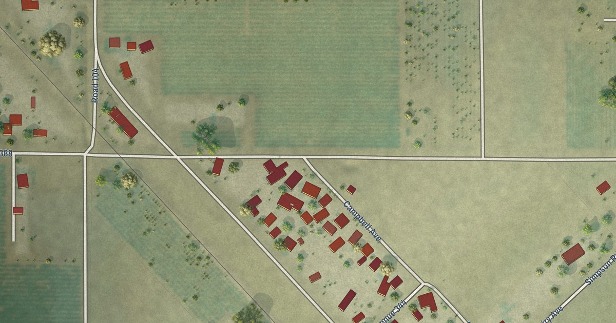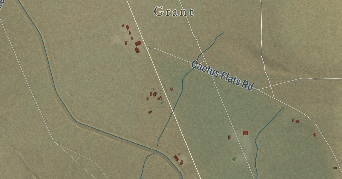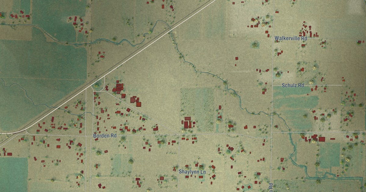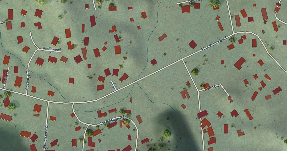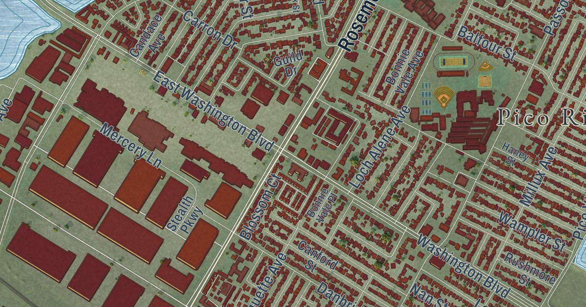
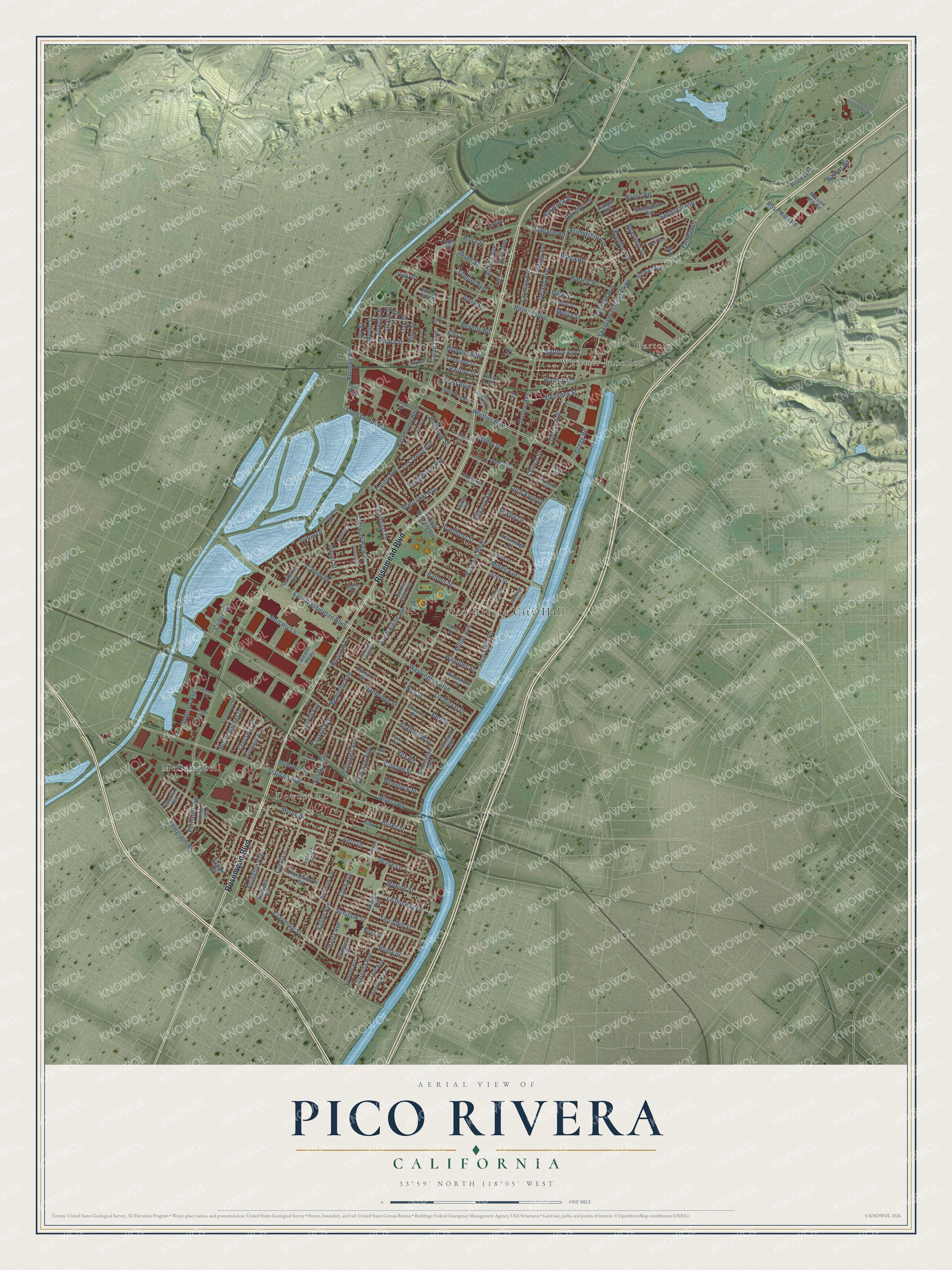
This beautifully detailed map of Pico Rivera, California was created in 2026 using aerial imagery combined with modern topographical, census, street and landmark data. It’s a one-of-a-kind view of Pico Rivera that combines accurate data with a vintage aesthetic. The map shows every building in its true location, many of the roads carry their names, and the shaded topographic relief shows the shape of the land.
Explore an aerial view of Pico Rivera, California
On the map you’ll find Pico Rivera City Hall, Bartolo, Pico Park, McCampbell, and Whittier Junction, along with Downey Road, Rosemead Boulevard, Whittier Boulevard, Rex Road, Crider Avenue, East Washington Boulevard, San Gabriel River Parkway, and more. If you look closely you can even find your house accurately drawn in its correct location. Zoom in on the preview to look for yours.
Did you know this piece of Pico Rivera, California history?
From the City of Pico Rivera: "Formed through the merging of two historic communities, Pico and Rivera, the City was officially incorporated in January 1958 as the 61st city in Los Angeles County."
Take a closer look at the Pico Rivera map
Street and place names on the Pico Rivera, California map
These names are printed on the map of Pico Rivera, California.
Places: Pico Rivera City Hall, Bartolo, Pico Park, McCampbell, Whittier Junction and Downey Road.
Streets and roads: Rosemead Boulevard, Rex Road, Whittier Boulevard, East Washington Boulevard, Crider Avenue, Rooks Road, Slauson Avenue, San Gabriel River Parkway, Kilgarry Avenue, Washington Boulevard, Manzanar Avenue, Norman Road.
More street names, A to Z
Acacia Avenue, Aero Drive, Aldrich Street, Aleman Avenue, Almo Street, Amistad Avenue, Ardell Road, Arma Street, Arrington Avenue, Balfour Street, Banta Road, Bartolo Avenue, Bascom Street, Baybar Road, Bennington Avenue, Bequette Avenue, Bermudez Street, Bert Street, Beverly Boulevard, Beverly Park Place, Beverly Road, Bexley Drive, Bicentennial Park Access Road, Birchbark Avenue, Birchleaf Avenue, Blossom Court, Bollenbacher Drive, Bonnie Vale Avenue, Bonnie Vale Place, Bradhurst Street, Brasher Street, Bridgeview Avenue, Brierfield Street, Buhman Avenue, Burke Street, Burma Road, Calada Avenue, Calico Avenue, Call Street, Candace Avenue, Canford Street, Carron Drive, Catherine Street, Chaney Avenue, Charlesworth Road, Church Street, Citronell Avenue, Clarinda Avenue, Claymore Street, Coffman Pico Road, Coolhurst Drive, Cope Drive, Coral Lane, Cord Avenue, Cravell Avenue, Creeland Street, Crossway Drive, Culp Drive, Dalewood Avenue, Danbridge Street, Deland Avenue, Dicky Street, Dork Street, Dowling Avenue, Dulin Avenue, Dunlap Crossing Road, Durfee Avenue, Eglise Avenue, Elba Street, Elnora Street, Fairway Drive, Farmland Avenue, Fernadel Avenue, Fir Street, Fishman Road, Foxbury Way, Friendship Avenue, Gallatin Road, Gangel Avenue, Garrick Avenue, Glencannon Drive, Grape Street, Greenglade Avenue, Gregg Road, Guild Drive, Hanan Way, Haney Street, Harrell Street, Hasty Avenue, Havenwood Drive, Hilton Head Way, Holbrook Street, Ibsen Street, Industry Avenue, Isora Street, Ivy Street, Kellam Lane, Klinedale Avenue, Kruse Road, La Docena Lane, Layman Avenue, Lemoran Avenue, Leona Joan Avenue, Lindell Avenue, Lindsey Avenue, Loch Alene Avenue, Loch Avon Drive, Lochinvar Drive, Loch Lomond Drive, Los Toros Avenue, Maris Avenue, Maxine Street, Melita Street, Mercery Lane, Millux Avenue, Mines Avenue, Mission Mill Road, Myron Street, Myrtle Street, Nan Street, Nova Street, Oaklawn Lane, Oak Street, Olympic Boulevard, Orange Avenue, Orange Street, Paramount Boulevard, Paramount Place, Par Place, Passons Boulevard, Perkins Street, Pico Court, Pico Vista Road, Pine Street, Planter Street, Powers Avenue, Pra Drive, Railton Street, Redbird Drive, Rimbank Avenue, Rivera Road, Roma Street, Rosehedge Drive, Rose Hills Road, Rushmore Street, Samoline Avenue, Sandlock Street, Sandoval Avenue, San Gabriel Place, Saratoga Street, Schooling Road, See Drive, Serapis Avenue, Shade Lane, Shenandoah Avenue, Sheridell Avenue, Sideview Drive, Silverette Drive, Songfest Drive, Speedway Alley, Spruce Street, Stealth Parkway, Stephens Street, Sunglow Street, Telegraph Road, Terradell Street, Tilmont Avenue, Tilmont Street, Tobias Avenue, Triton Drive, Trojan Street, True Avenue, Union Street, Unser Street, Verner Street, Victoria Lane, Walnut Avenue, Wampler Street, Warvale Street, West Boulevard, Wheelock Street, Woodford Street.
See the Pico Rivera, California map on a wall
The Pico Rivera map as an 18 x 24 inch print in a black frame.

This beautifully detailed map of Pico Rivera makes an attractive addition to your office, library, or den, and it can even be used to teach children the geography and history of the area. It also makes a great gift for anyone who grew up in Pico Rivera or moved away. When you’re done exploring, click here to get your copy of the Pico Rivera map.