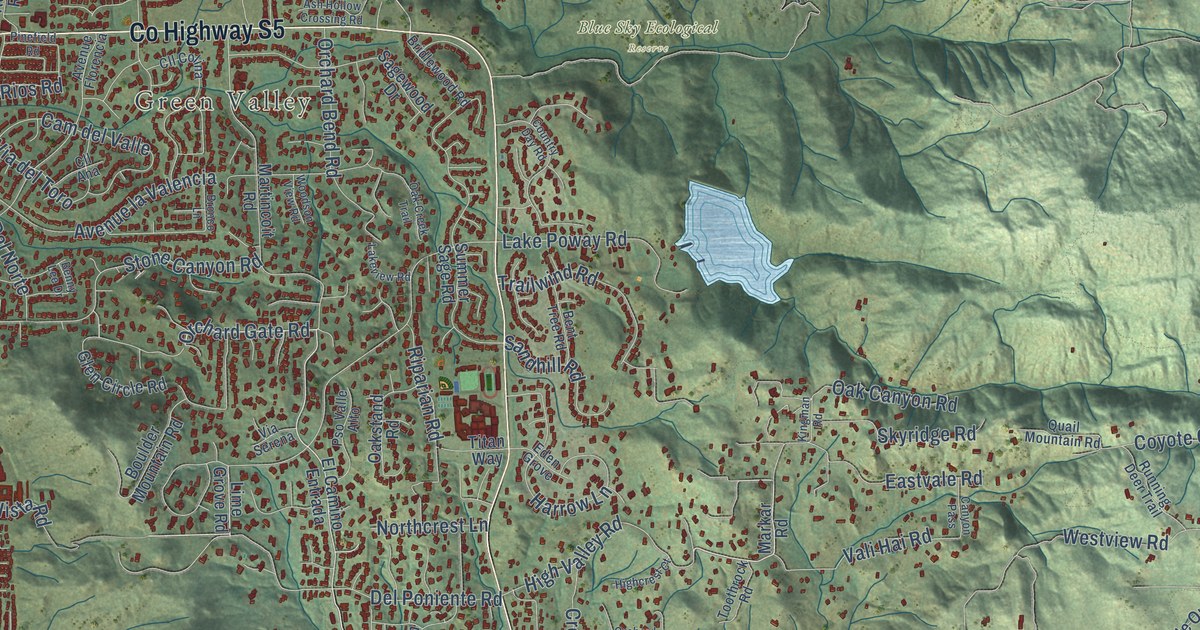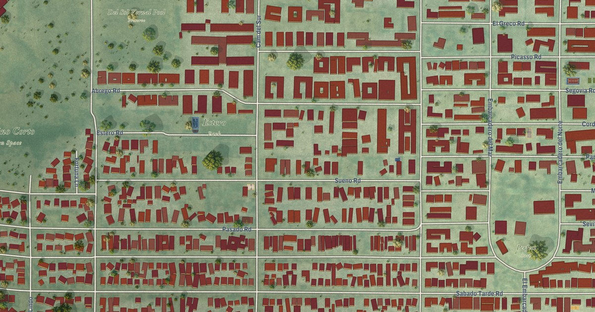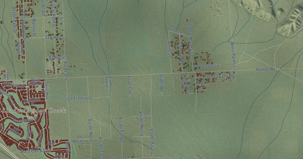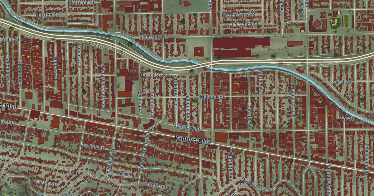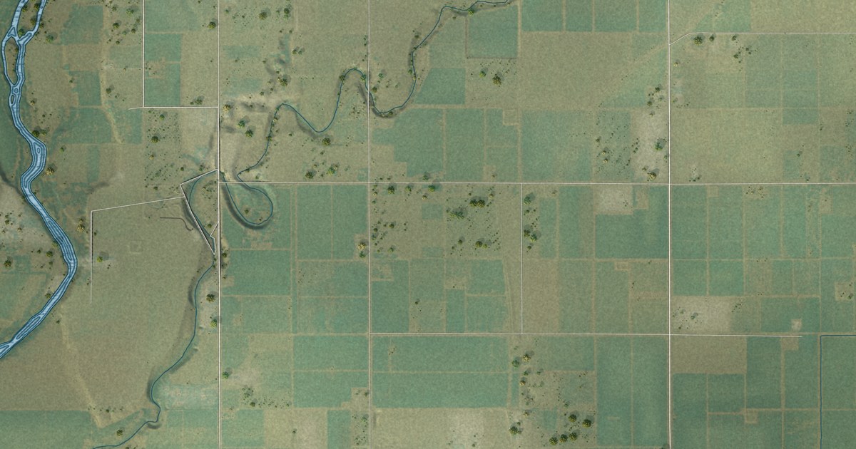
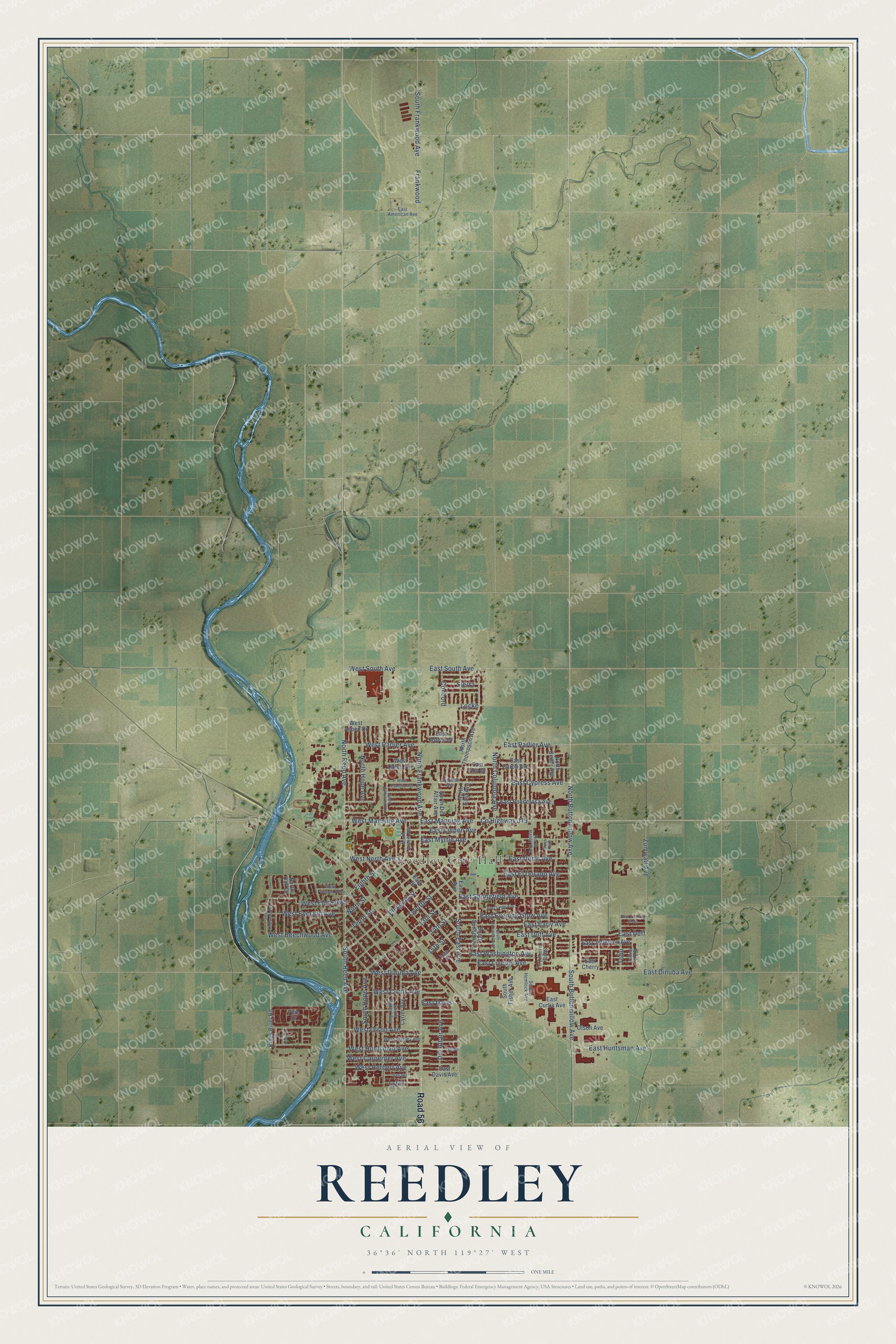
This beautifully detailed map of Reedley, California was created in 2026 using aerial imagery combined with modern topographical, census, street and landmark data. It's a modern aerial view of Reedley in Fresno County, California, that combines modern data with a vintage aesthetic. The roads feature printed names, and if you look closely you can find your exact house accurately shown in its correct location.
Explore an aerial view of Reedley, California
On this map you'll find Reedley City Hall, Road 56, South Buttonwillow Avenue, North Buttonwillow Avenue, East Springfield Avenue, North Reed Avenue, Del Altair Avenue, Frankwood, South Reed Avenue, West Flora Avenue, Co Highway J19, East Manning Avenue, and more. Each red shape is a building, so zoom in on the preview and look for yours.
Every town has a first chapter, and Reedley is no exception. The National Register of Historic Places puts it this way: "The building was
designed and built by an important local entrepreneur, Jesse Jansen, after a fire
destroyed downtown Reedley."
Reedley is a city in Fresno County. The Census Bureau counted 25,227 people here in 2020.
Take a closer look at the Reedley map
Names on this map
These names are printed on this map.
Places: Reedley City Hall.
Streets and roads: Road 56, South Buttonwillow Avenue, North Buttonwillow Avenue, East Springfield Avenue, North Reed Avenue, Del Altair Avenue, Frankwood, South Reed Avenue, West Flora Avenue, County Highway J19, East Manning Avenue, West Manning Avenue.
More street names, A to Z
13th Street, 14th Street, 15th Street, 16th Street, Concord, Cypress Avenue, Cyrier Avenue, East American Avenue, East Ann Drive, East Aspen Drive, East Avenue, East Carob Avenue, East Cherry, East Curtis Avenue, East Cypress Avenue, East Davis, East Davis Avenue, East Dinuba Avenue, East Duff, East Duff Avenue, East Early Avenue, East El Dorado Avenue, East Evening Glow, East Evening Glow Avenue, East Huntsman Avenue, East Jefferson Avenue, East Lincoln Avenue, East Linden Avenue, East Lingo Avenue, East Myrtle Avenue, East North Avenue, East Parlier Avenue, East Ponderosa Avenue, East South Avenue, East Street, East Washington Avenue, Eighth Street, Eleventh Street, Kings River Road, Locke, Lylac, Ninth Street, North Acacia Avenue, North Cedar Avenue, North Columbia Avenue, North Del Altair Avenue, North East Avenue, North Frankwood Avenue, North Haney Avenue, North Hollywood Drive, North Hope Avenue, North Kady, North Oak Drive, North Thompson Avenue, Olson, Olson Avenue, Orchard Lane, Pine Drive, Sasaki, Sierra, South Carolyn Lane, South Columbia Avenue, South East Avenue, South Fisher Avenue, South Frankwood Avenue, South Hemlock Avenue, South Hope Avenue, South Kingswood Parkway, South Peach, South Rupert Avenue, South Sunset Avenue, Tenth Street, Tobu, Twelfth Street, West Aspen Drive, West Beechwood Avenue, West Carob Avenue, West Carpenter Avenue, West Curtis Avenue, West Cypress Avenue, West Dinuba Avenue, West Eymann Avenue, West Friesen Avenue, West Herbert Avenue, West Huntsman Avenue, West North Avenue, West Olson Avenue, West Parlier Avenue, West South Avenue, West Stanley Avenue, Zumwalt Avenue.
Created by KNOWOL in 2026. The buildings are small red shapes, the roads carry their printed names, and shaded relief shows the shape of the land. The title panel reads "AERIAL VIEW OF REEDLEY CALIFORNIA" with 36°36' NORTH 119°27' WEST.
Hang it in the hallway, the office or the cabin, or give it to someone who left Reedley and still calls it home. Open the preview and look for a street you know. See sizes and frames for the Reedley map.