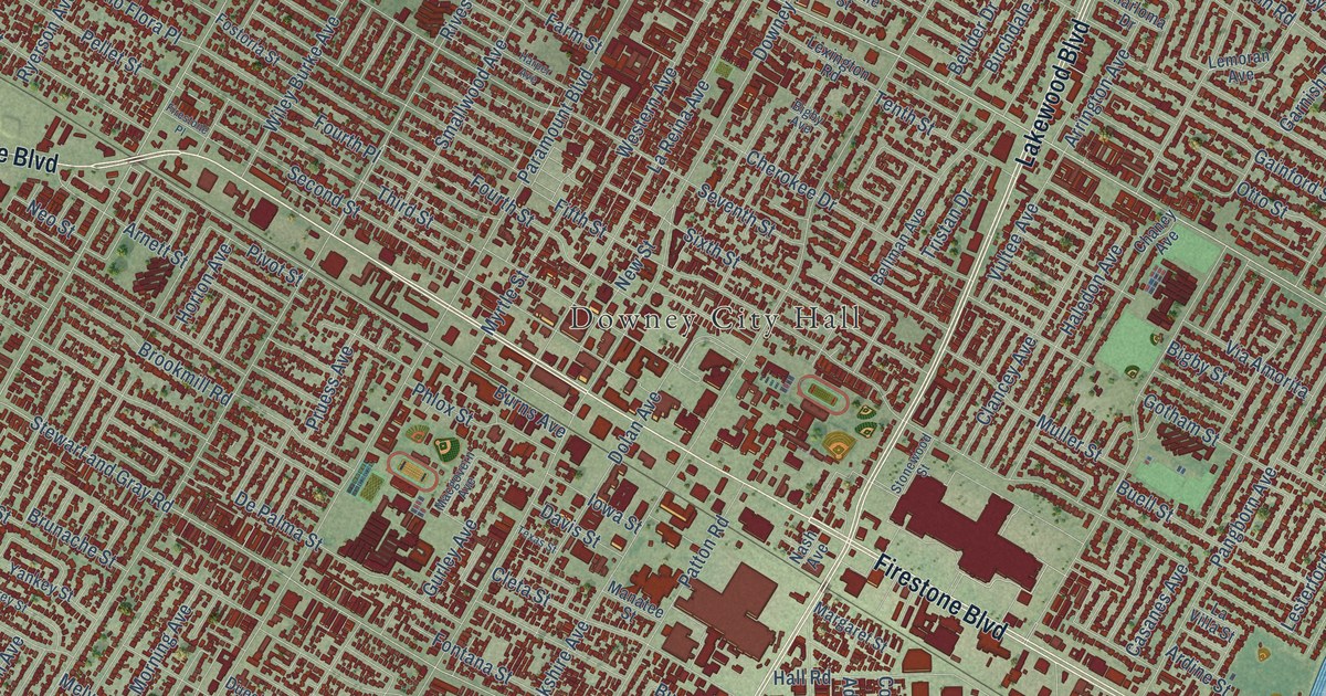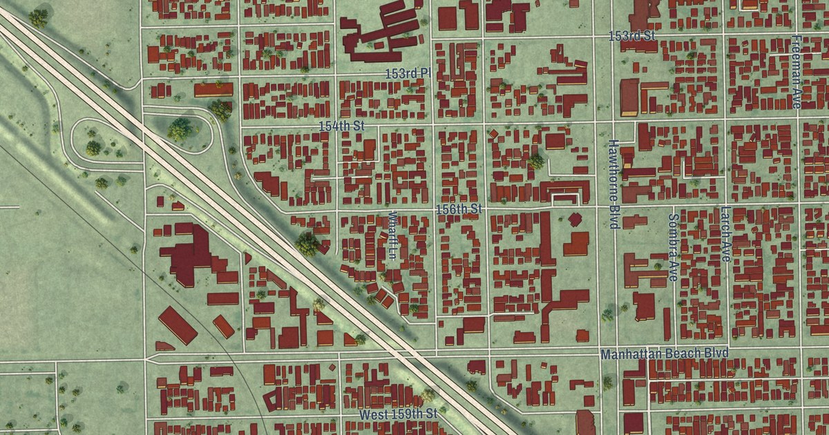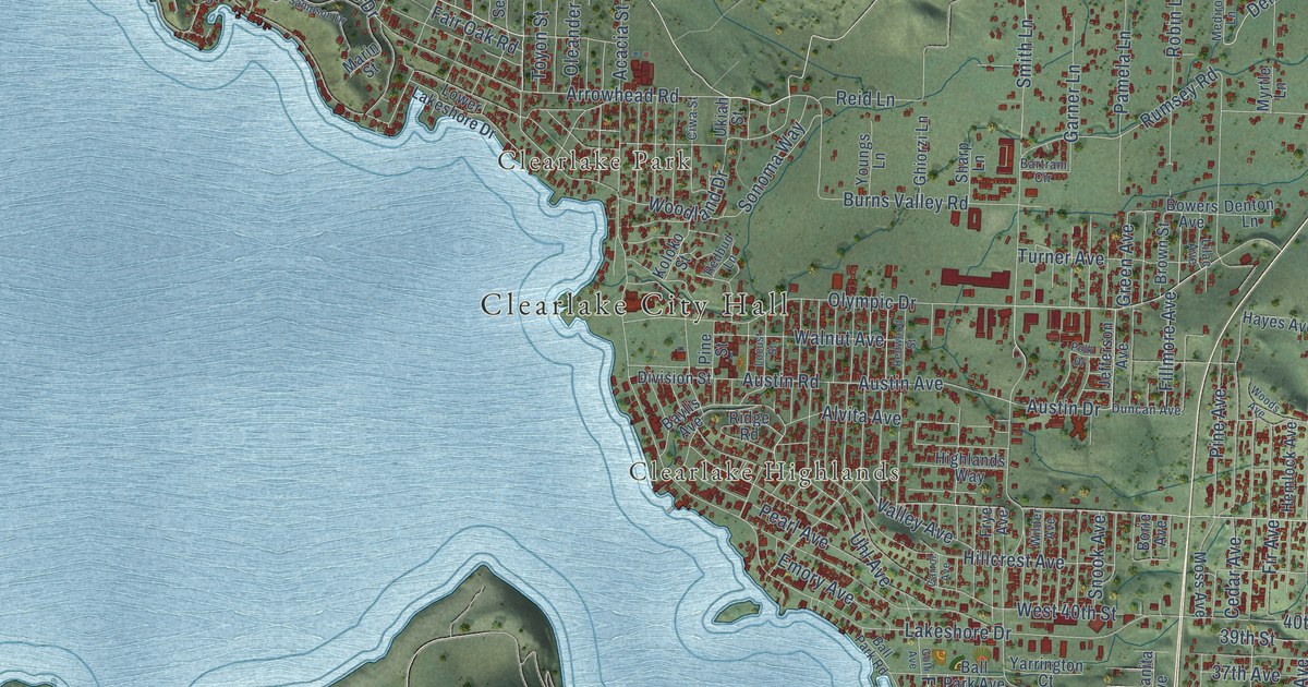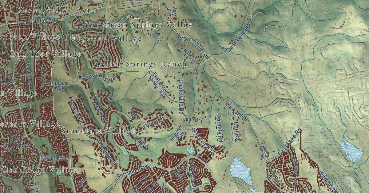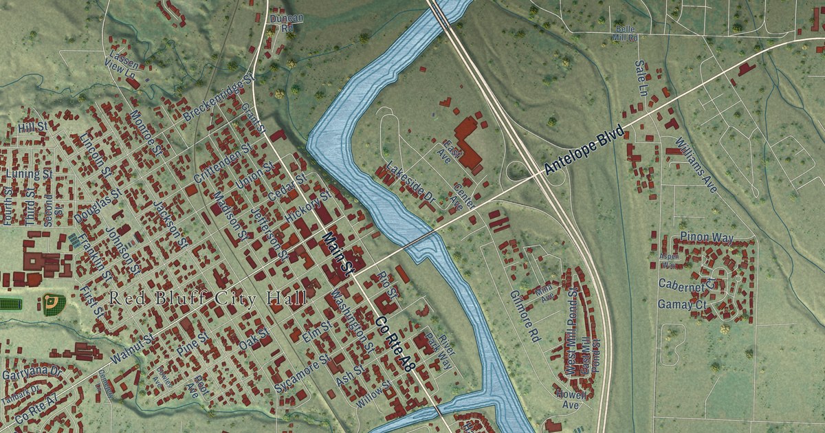
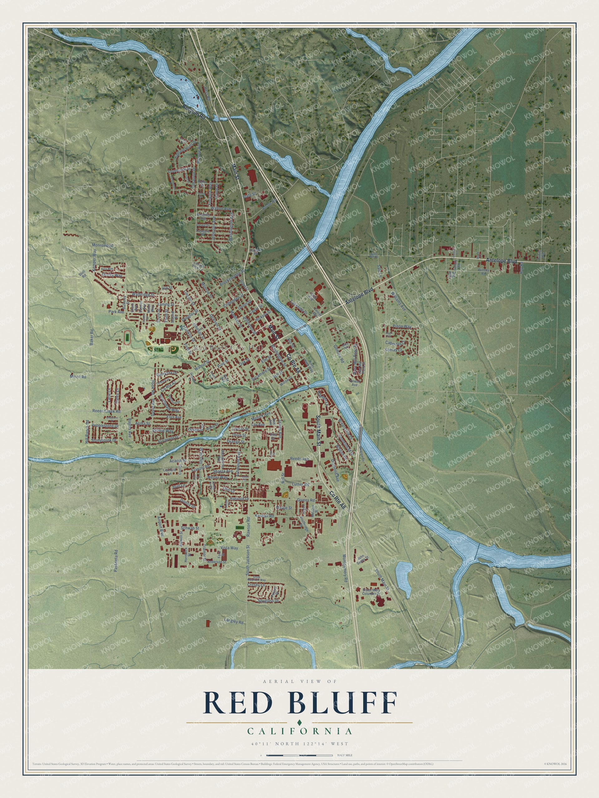
This beautifully detailed map of Red Bluff, California was created in 2026 using aerial imagery combined with modern topographical, census, street and landmark data. It's a modern aerial view of Red Bluff in Tehama County, California, that combines modern data with a vintage aesthetic. The roads feature printed names, and if you look closely you can find your exact house accurately shown in its correct location.
Explore an aerial view of Red Bluff, California
On this map you'll find Red Bluff City Hall, Trainor Park, Main Street, Antelope Boulevard, South Main Street, Beegum Road, Reeds Creek Road, Hook Road, Walnut Street, Gamay Court, Rawson Road, South Jackson Street, and more. Each red shape is a building, so zoom in on the preview and look for yours.
Every town has a first chapter, and Red Bluff is no exception. The National Register of Historic Places puts it this way: "Cook, Sacramento
STATEMENT OF SIGNIFICANCE
The Cone and Kimball Building built in 1886 and located on Main Street has long
been a visual landmark in the city of Red Bluff."
Red Bluff is a city in Tehama County. The Census Bureau counted 14,710 people here in 2020.
Take a closer look at the Red Bluff map
Names on this map
These names are printed on this map.
Places: Red Bluff City Hall and Trainor Park.
Streets and roads: Main Street, Antelope Boulevard, County Route A8, South Main Street, Beegum Road, Reeds Creek Road, Hook Road, County Route A7, Walnut Street, Gamay Court, Rawson Road, South Jackson Street.
More street names, A to Z
Acacia Street, Adobe Road, Airport Boulevard, Alder Street, Aloha Court, Aloha Street, Anderson Street, Ashmount Avenue, Ash Street, Aspen Way, Baker Road, Bayles Avenue, Belle Mill Road, Beverley Avenue, Bidwell Street, Block Lane, Brearcliffe Drive, Breckenridge Street, Britt Lane, Bulkeley Street, Cabernet Court, Carl Court, Cedar Street, Cemetery Lane, Center Avenue, Chestnut Avenue, Cimarron Drive, Colony Road, Corona Avenue, Countryside Drive, Cowles Avenue, Crittenden Street, Crosby Lane, Dale Avenue, David Avenue, Deborah Drive, Diamond Avenue, Donita Drive, Douglas Street, Duncan Avenue, Duncan Road, East Avenue, East Mill Pond Street, Ehorn Avenue, El Cerrito Drive, Elm Street, Elva Avenue, Encinal Drive, First Street, Ford Street, Forward Way, Fourth Street, Franklin Street, Franzel Road, Garden Avenue, Garryana Drive, Gentry Way, Gilmore Road, Givens Road, Grant Street, Greystone Court, Haley Lane, Hasvold Drive, Hayden Lane, Hess Road, Hickory Street, Highland Bluffs Drive, Hill Ranch Road, Hill Street, Hinkle Street, Homestead Drive, Hornbeck Street, Howard Court, Howell Avenue, Hoy Road, Jackson Street, James Avenue, Jefferson Avenue, Jefferson Street, Jennifer Lynn Drive, Johnson Street, John Sutter Street, Kay Avenue, Kemper Way, Kimball Road, Lakeside Drive, Langley Road, Larie Lane, Lassen Avenue, Lassen View Lane, Lay Avenue, Leonard Lane, Lincoln Street, Locust Street, Luning Street, Luther Road, Madison Street, Meadowview Drive, Messer Drive, Metzger Street, Miller Way, Mill Street, Mina Avenue, Minch Road, Monroe Avenue, Monroe Street, Monrovia Street, Montgomery Road, Musick Avenue, Nelson Drive, Oak Street, Olive Street, Orange Street, Oriole Drive, Otis Court, Palmer Drive, Park Avenue, Paskenta Road, Pebblestone Drive, Pine Street, Pinon Way, Reeds Avenue, Reeds Road, Reta Way, Rio Street, River Park Way, Robinson Drive, Robin Street, Root Avenue, Sacramento Avenue, Sale Lane, Schwab Street, Scottsdale Way, Second Street, Shasta Avenue, Sister Mary Columba Drive, Snow Mountain Way, Southridge Drive, Spyglass Drive, State Street, Stoll Road, Stonybrook Drive, Sycamore Street, Tanbark Drive, Terrace Drive, Third Street, Thistle Street, Trainor Street, Treasure Drive, Trinity Avenue, Union Street, Valerie Way, Villa Drive, Village Drive, Vista Way, Walbridge Street, Walton Avenue, Walton Drive, Washington Avenue, Washington Street, West Mill Pond Street, Wetter Way, Williams Avenue, Willow Street, Wiltsey Road.
Created by KNOWOL in 2026. The buildings are small red shapes, the roads carry their printed names, and shaded relief shows the shape of the land. The title panel reads "AERIAL VIEW OF RED BLUFF CALIFORNIA" with 40°11' NORTH 122°14' WEST.
Hang it in the hallway, the office or the cabin, or give it to someone who left Red Bluff and still calls it home. Open the preview and look for a street you know. See sizes and frames for the Red Bluff map.