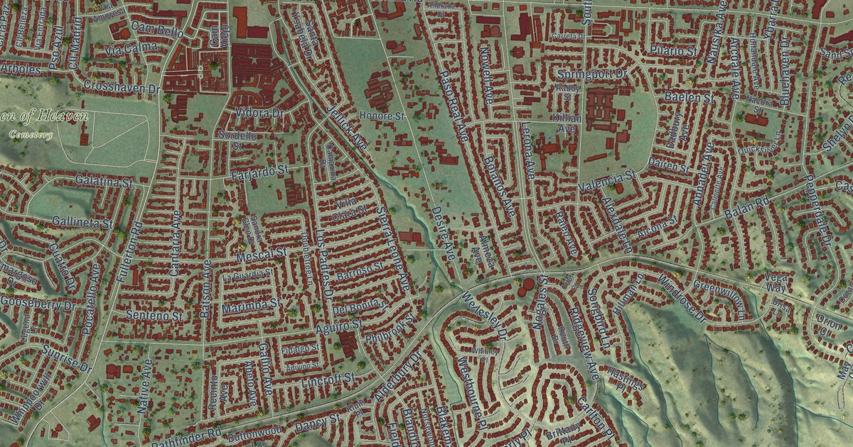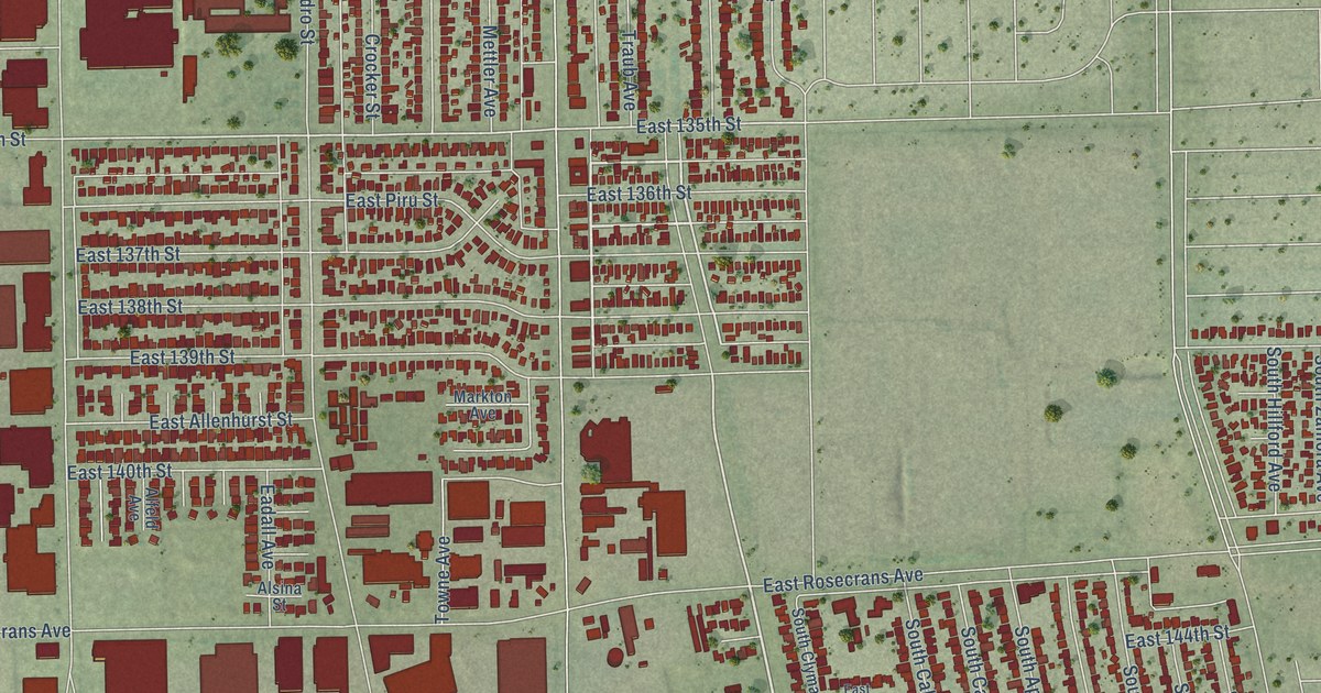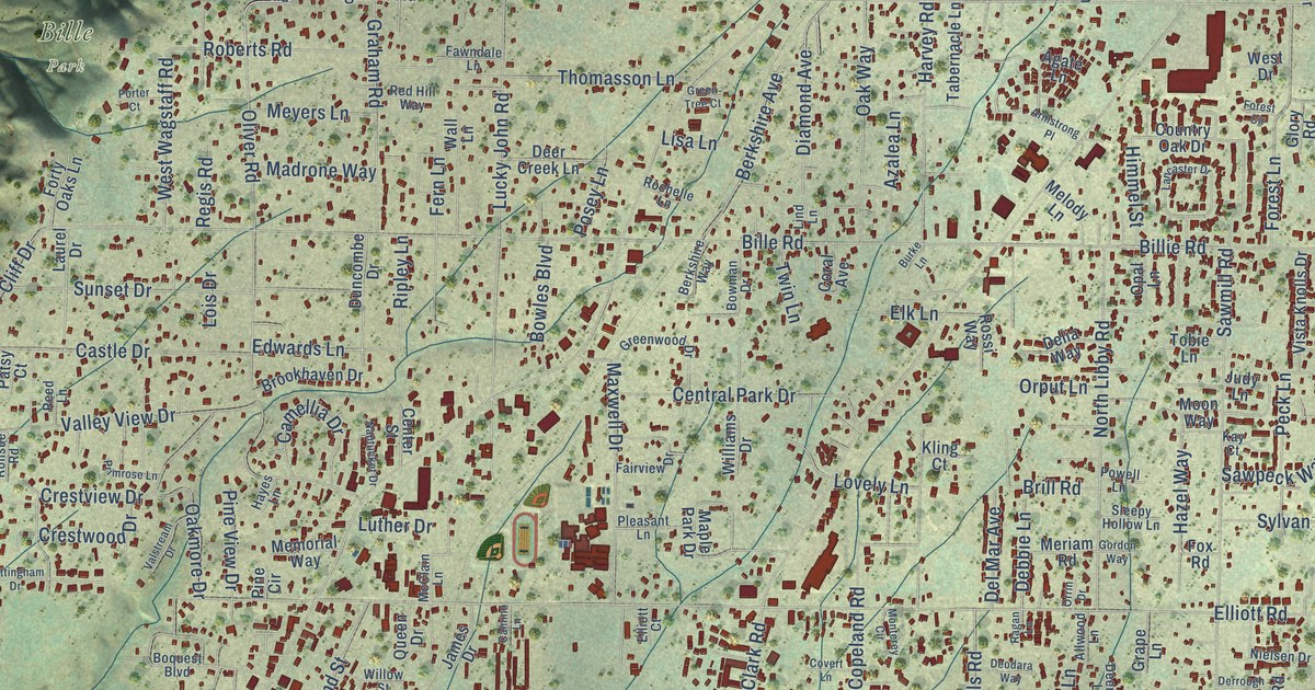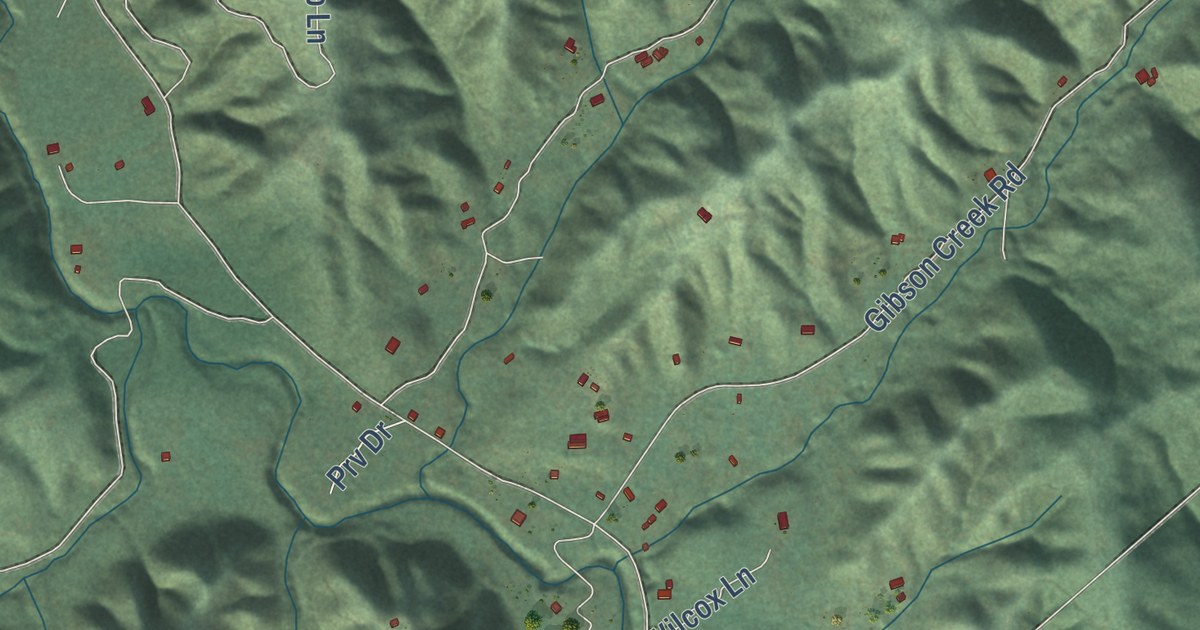
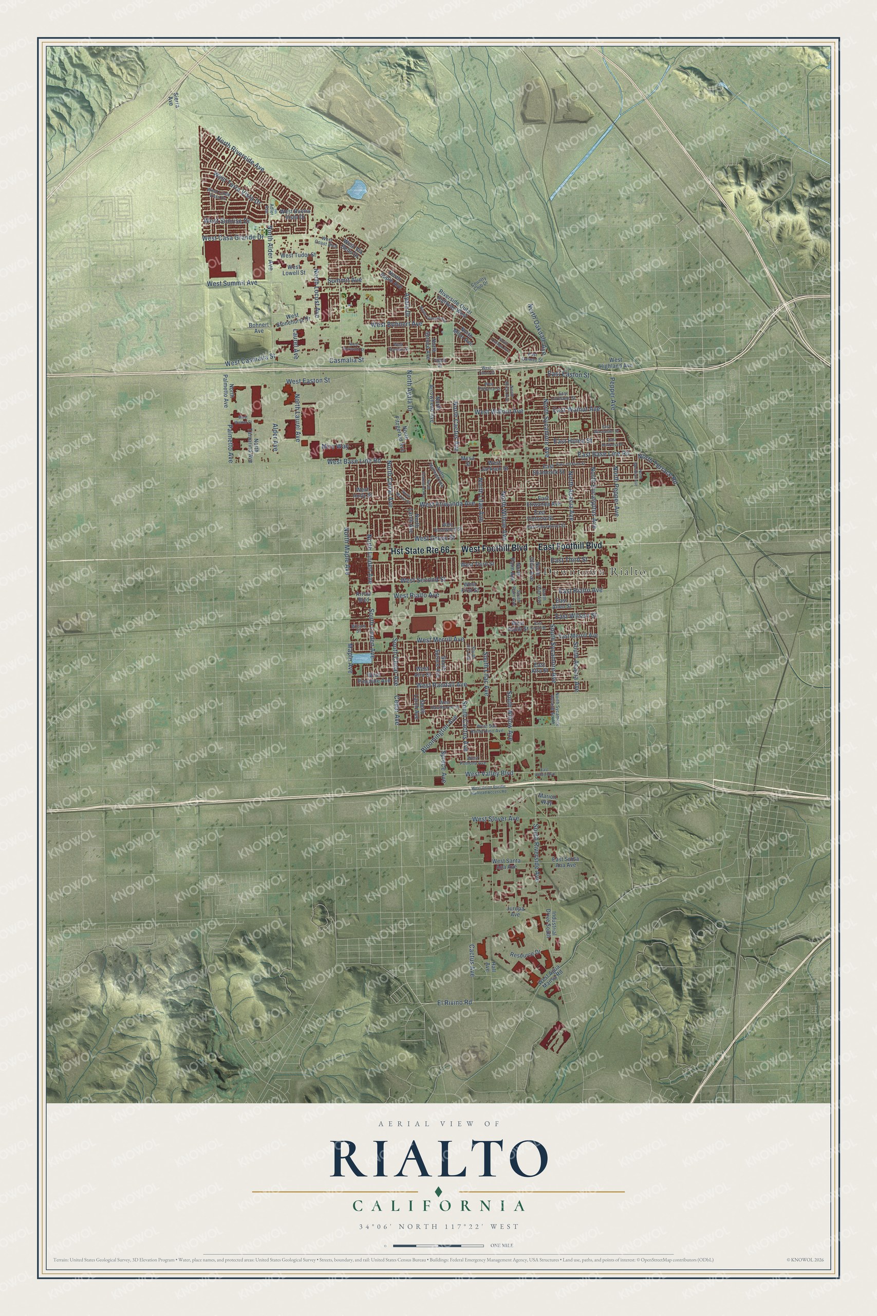
This beautifully detailed map of Rialto, California was created in 2026 using aerial imagery combined with modern topographical, census, street and landmark data. It’s a one-of-a-kind view of Rialto that combines accurate data with a vintage aesthetic. The map shows every building in its true location, many of the roads carry their names, and the shaded topographic relief shows the shape of the land.
Explore an aerial view of Rialto, California
On the map you’ll find Downtown Rialto, along with West Foothill Boulevard, East Foothill Boulevard, West Easton Street, North Eucalyptus Avenue, North Pepper Avenue, West Summit Avenue, East Rialto Avenue, East Easton Street, West San Bernardino Avenue, East Walnut Avenue, Pepper Avenue, and more. If you look closely you can even find your house accurately drawn in its correct location. Zoom in on the preview to look for yours.
Did you know this piece of Rialto, California history?
From the San Bernardino County Planning: "The Semi-Tropic Land and Water Company laid out the town sites of Bloomington, Rialto, Fontana, and Sansevaine."
Take a closer look at the Rialto map
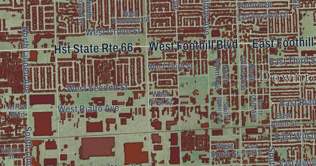
Street and place names on the Rialto, California map
These names are printed on the map of Rialto, California.
Places: Downtown Rialto.
Streets and roads: Hst State Route 66, West Foothill Boulevard, East Foothill Boulevard, West Casmalia Street, North Cedar Avenue, North Cactus Avenue, North Alder Avenue, Alder Avenue, Cactus Avenue, Ayala Drive, North Ayala Drive, South Cedar Avenue.
More street names, A to Z
Adler Avenue, Arrow Boulevard, Bloomington Avenue, Bohnert Avenue, Casmalia Street, Cedar Avenue, Country Club Drive, East Allen Street, East Alru Street, East Base Line Road, East Easton Street, East Etiwanda Avenue, East Galway Street, East Home Street, East Jackson Street, East Lurelane Street, East Mariposa Drive, East Merrill Avenue, East Rialto Avenue, East Rosewood Street, East Santa Ana Avenue, East Shamrock Street, East South Street, East Third Street, East Valley Boulevard, East Victoria Street, East Walnut Avenue, East Wilson Street, East Winchester Drive, El Rivino Road, Hall Avenue, Industrial Drive South, Jurupa Avenue, Laurel Avenue, Maple Avenue, Marion Way, Mesa Street, Miro Way, North Acacia Avenue, North Alice Avenue, North Apple Avenue, North Arrowhead Avenue, North Eucalyptus Avenue, North Fillmore Avenue, North Fitzgerald Avenue, North Idyllwild Avenue, North Larch Avenue, North Laurel Avenue, North Lilac Avenue, North Linden Avenue, North Locust Avenue, North Maple Avenue, North Martin Street, North Meridian Avenue, North Milor Avenue, North Oakdale Avenue, North Olive Avenue, North Orange Avenue, North Palm Avenue, North Palmetto Avenue, North Pepper Avenue, North Riverside Avenue, North Spruce Avenue, North Sycamore Avenue, North Sycamore Avenue South, North Tamarind Avenue, North Teakwood Avenue, North Terrace Road, North Willow Avenue, Palmetto Avenue, Pepper Avenue, Resource Drive, Riverside Outer Highway West, Sierra Avenue, South Acacia Avenue, South Cactus Avenue, South Date Avenue, South Iris Avenue, South Larch Avenue, South Lilac Avenue, South Linden Avenue, South Palm Avenue, South Riverside Avenue, South Spruce Avenue, South Sycamore Avenue, South Willow Avenue, Spruce Avenue, Summit Avenue, Tibbot Street, West Agua Mansa Road, West Alru Street, West Base Line Road, West Bohnert Avenue, West Buena Vista Drive, West Casa Grande Drive, West Chaparral Street, West Cheshire Street, West Coast Boulevard, West Easton Street, West Etiwanda Avenue, West First Street, West Grove Street, West Hawthorne Street, West Highland Avenue, West Holly Street, West Jackson Street, West Linde Vista Drive, West Lowell Street, West Merrill Avenue, West Norwood Street, West Pinedale Avenue, West Pomona Avenue, West Randall Avenue, West Rialto Avenue, West Rosewood Street, West San Bernardino Avenue, West Santa Ana Avenue, West Second Street, West Slover Avenue, West South Street, West Stonehurst Drive, West Summit Avenue, West Sunrise Drive, West Tahoe Street, West Terra Vista Drive, West Third Street, West Tudor Street, West Union Pacific Railroad Access Road, West Valley Boulevard, West Via Bello Drive, West Walnut Avenue, West Walnut Street, Wilson Street.
See the Rialto, California map on a wall
The Rialto map as an 18 x 24 inch print in a black frame.

This beautifully detailed map of Rialto makes an attractive addition to your office, library, or den, and it can even be used to teach children the geography and history of the area. It also makes a great gift for anyone who grew up in Rialto or moved away. When you’re done exploring, click here to get your copy of the Rialto map.