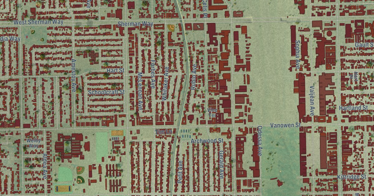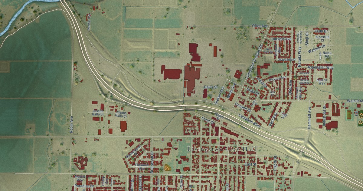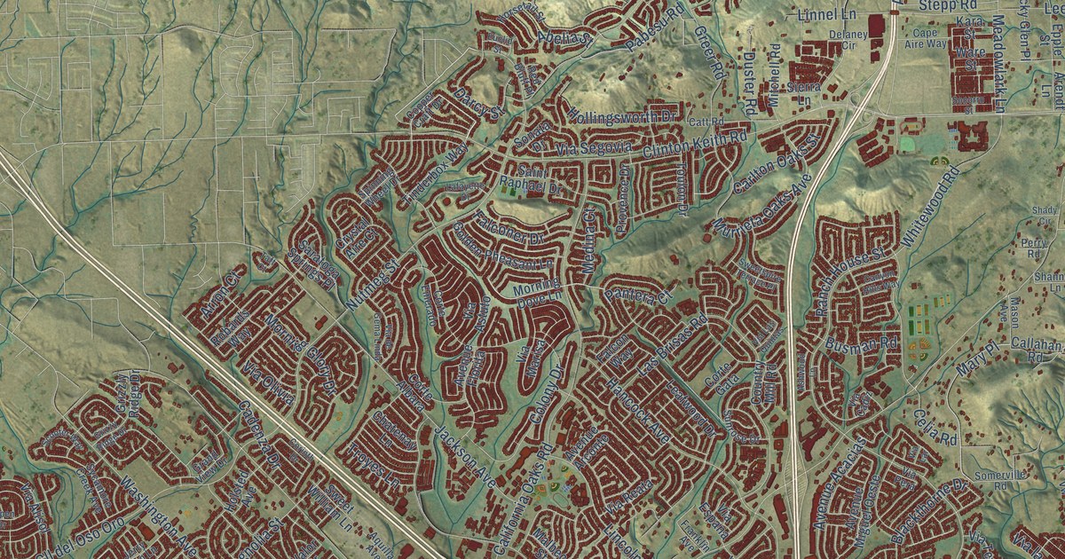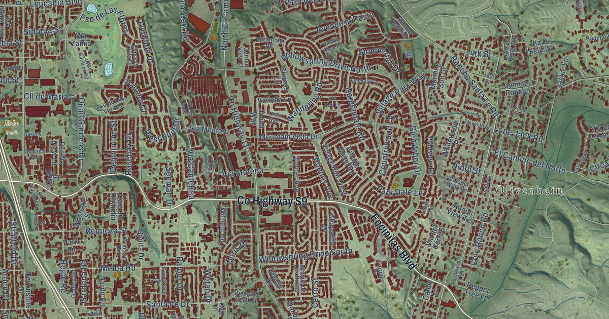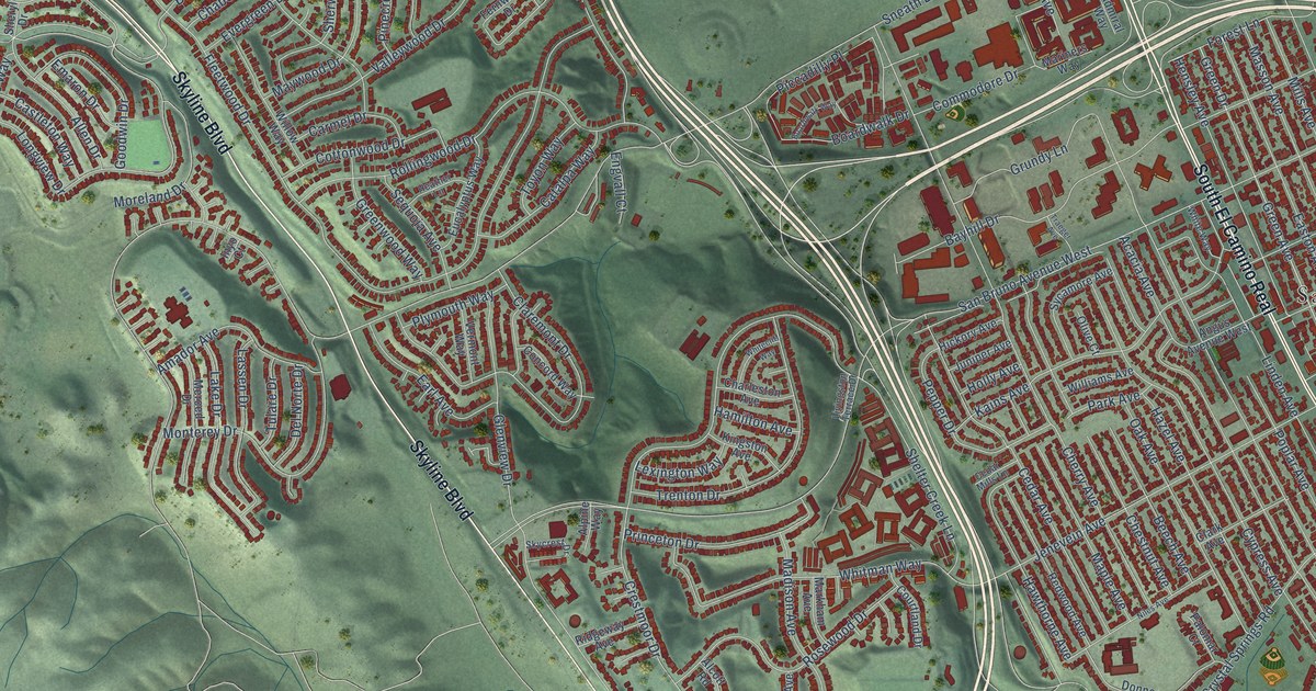
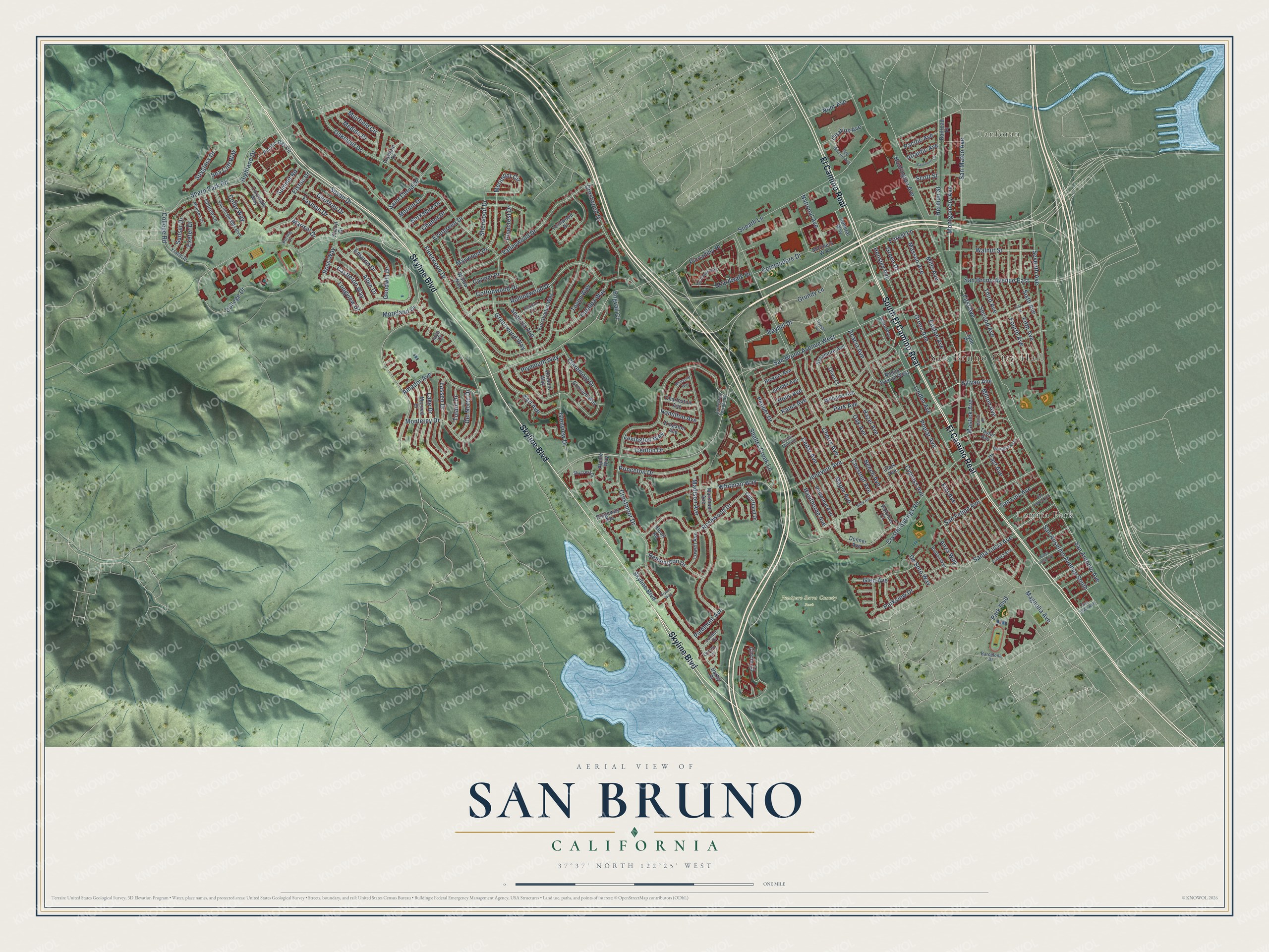
This beautifully detailed map of San Bruno, California was created in 2026 using aerial imagery combined with modern topographical, census, street and landmark data. It’s a one-of-a-kind view of San Bruno that combines accurate data with a vintage aesthetic. The map shows every building in its true location, many of the roads carry their names, and the shaded topographic relief shows the shape of the land.
Explore an aerial view of San Bruno, California
On the map you’ll find San Bruno City Hall, Tanforan, Junipero Serra County Park, Lomita Park, South El Camino Real, El Camino Real, and Piccadilly Place, along with Skyline Boulevard, College Road, College Drive, Longview Drive, Ross Way, and more. If you look closely you can even find your house accurately drawn in its correct location. Zoom in on the preview to look for yours.
Did you know this piece of San Bruno, California history?
From California Place Names: "San Bruno, a village near San Francisco, was named for St. Bruno, the founder and first abbot of the Carthusian Order."
Take a closer look at the San Bruno map
Street and place names on the San Bruno, California map
These names are printed on the map of San Bruno, California.
Places: San Bruno City Hall, Tanforan, Junipero Serra County Park and Lomita Park.
Streets and roads: Skyline Boulevard, South El Camino Real, El Camino Real, College Road, College Drive, Longview Drive, Piccadilly Place, Ross Way, Green Avenue, San Antonio Avenue, Pepper Drive, Sylvan Avenue.
More street names, A to Z
Acacia Avenue, Admiral Way, Alcott Road, Allen Drive, Alpine Way, Amador Avenue, Angus Avenue West, Anza Way, Atlantic Avenue, Balboa Way, Barcelona Drive, Bayhill Drive, Bayshore Circle, Beech Avenue, Bennington Drive, Bering Drive, Berkshire Drive, Boardwalk Drive, Boardwalk Way, Bryant Way, Carmel Drive, Castleton Way, Catalpa Way, Cedar Avenue, Cedar Mills Lane, Chabot Drive, Charleston Avenue, Cherry Avenue, Chestnut Avenue, Chilton Lane, Circle Court, Citation Avenue, Claremont Drive, Clark Avenue, Colby Way, Commodore Drive, Concord Way, Coronado Way, Cottonwood Drive, Courtland Drive, Crestmoor Drive, Crestwood Drive, Crystal Springs Road, Cypress Avenue, Darby Place, Del Norte Drive, De Soto Way, Donner Avenue, Earl Avenue, East Avenue, Easton Avenue, Elm Avenue, Elston Drive, Emaron Drive, Engvall Court, Eucalyptus Way, Evergreen Drive, Exeter Drive, Fasman Drive, Fernwood Drive, Fifth Avenue, First Avenue, Fleetwood Drive, Forest Lane, Fourth Avenue, Geoffrey Drive, Georgia Avenue, Glen Avenue, Glenview Drive, Goodwin Drive, Green Drive, Greenwood Way, Grundy Lane, Hamilton Avenue, Hawthorne Avenue, Hazel Avenue, Heather Lane, Hensley Avenue, Herman Street, Hickory Avenue, Highland Drive, Holly Avenue, Huntington Avenue, Inyo Court, Jenevein Avenue, Juniper Avenue, Kains Avenue, Kingston Avenue, Lake Drive, Lassen Drive, Layne Place, Lexington Way, Linden Avenue, Livingston Terrace Drive, Lomita Avenue, London Court, Lowell Avenue, Madison Avenue, Magnolia Avenue, Maple Avenue, Mariners Way, Marisol Drive, Markham Avenue, Martin Place, Masson Avenue, Mastick Avenue, Maywood Drive, Medina Drive, Merced Drive, Merimont Circle, Merion Drive, Mills Avenue, Milton Avenue, Monterey Drive, Montgomery Avenue, Moreland Drive, Moulton Drive, Muirfield Circle, National Avenue, Niles Avenue, Noor Avenue, Oak Avenue, Oakmont Drive, Olive Court, Olympic Drive, Oxford Lane, Pacific Avenue, Pacific Bay Circle, Pacific Heights Boulevard, Palomar Court, Park Avenue, Park Boulevard, Parkview Drive, Piedmont Avenue, Pinecrest Drive, Pine Street, Plymouth Way, Poplar Avenue, Princeton Drive, Railroad Place, Redwood Avenue, Ridgeway Avenue, Rollingwood Drive, Rosewood Drive, Saint Cloud Drive, San Anselmo Avenue South, San Bruno Avenue East, San Bruno Avenue West, San Felipe Avenue, San Juan Avenue, San Luis Avenue, San Marco Avenue, San Mateo Avenue, Santa Inez Avenue, Santa Lucia Avenue, Scott Street, Sea Biscuit Avenue, Sea Cliff Way, Second Avenue, Sequoia Avenue, Seventh Avenue, Sharp Park Road, Shelter Creek Lane, Sherwood Drive, Sheryl Drive, Sixth Avenue, Skycrest Drive, Sneath Lane, Spyglass Drive, Summit Road, Sunset Drive, Susan Drive, Sycamore Avenue, Taylor Avenue, Third Avenue, Toyon Way, Traeger Avenue, Trenton Drive, Tulare Drive, Valleywood Drive, Vermont Way, Walnut Street, Whitecliff Way, White Way, Whitman Way, Williams Avenue, Willow Way, Ysabel Drive.
See the San Bruno, California map on a wall
The San Bruno map as an 18 x 24 inch print in a black frame.

This beautifully detailed map of San Bruno makes an attractive addition to your office, library, or den, and it can even be used to teach children the geography and history of the area. It also makes a great gift for anyone who grew up in San Bruno or moved away. When you’re done exploring, click here to get your copy of the San Bruno map.