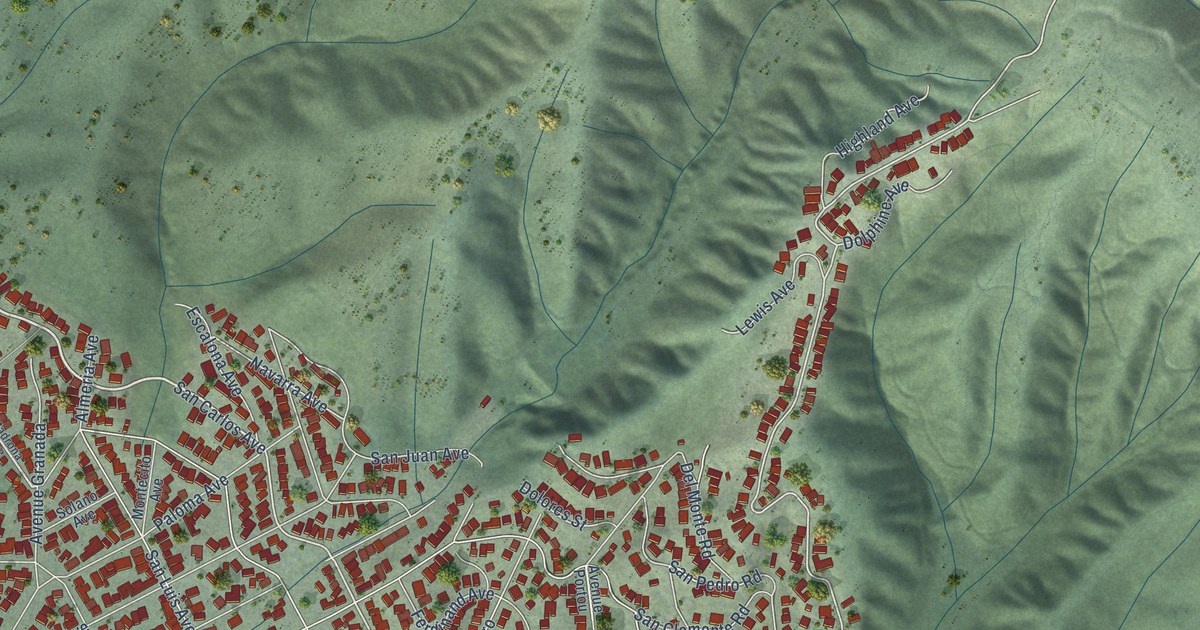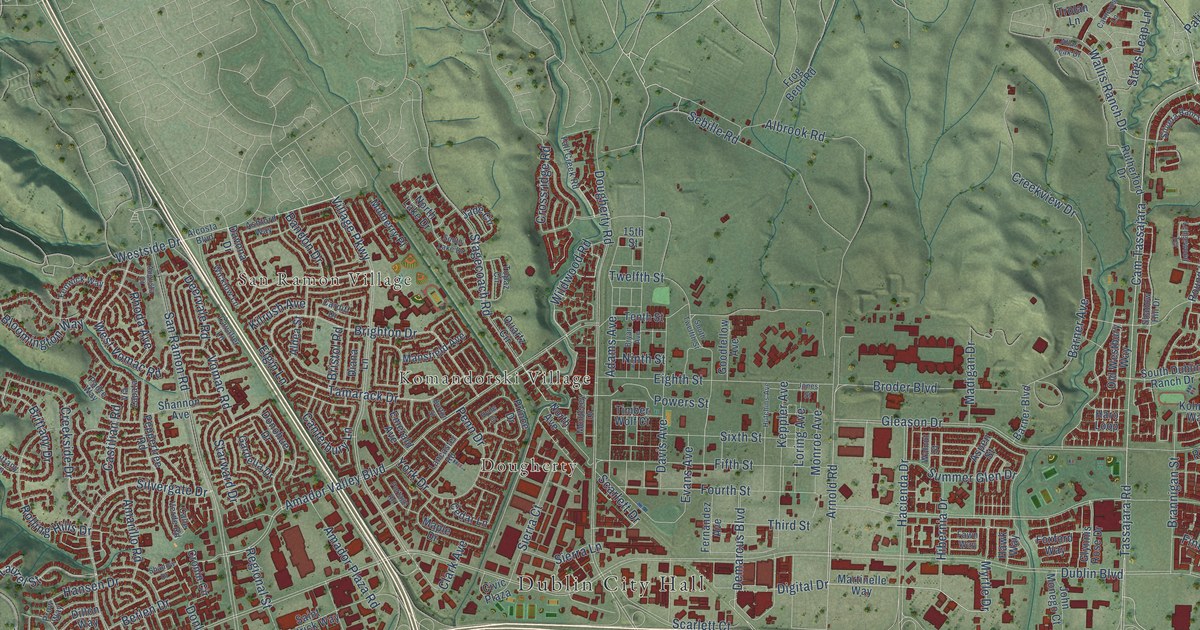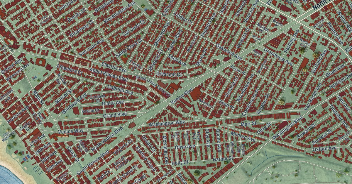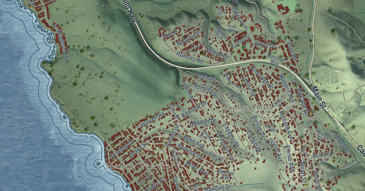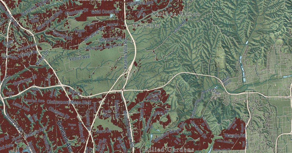
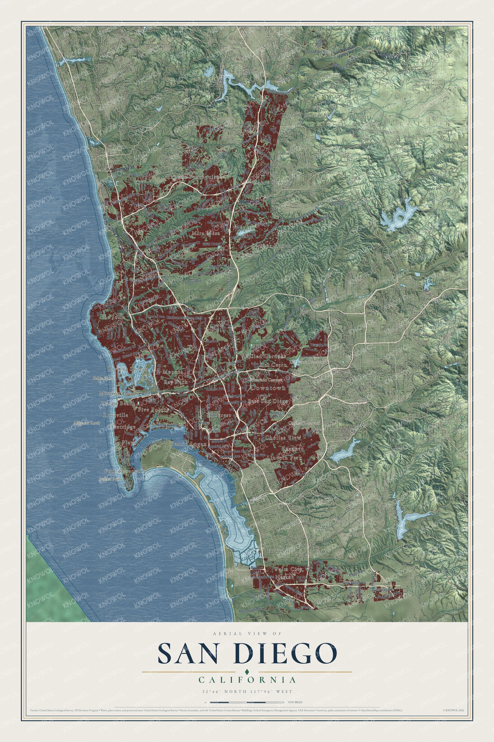
This beautifully detailed map of San Diego, California was created in 2026 using aerial imagery combined with modern topographical, census, street and landmark data. It's a modern aerial view of San Diego in San Diego County, California, that combines modern data with a vintage aesthetic. The roads feature printed names, and if you look closely you can find your exact house accurately shown in its correct location.
Explore an aerial view of San Diego, California
On this map you'll find Downtown, San Pasqual, San Ysidro, Alligator Rock, Alvarado Canyon, Bahia Point, Ballast Point, Chollas Reservoir, Del Cerro Reservoir, Allied Gardens, Barrio Logan, Bay Park, and more. Each red shape is a building, so zoom in on the preview and look for yours.
Here is a piece of San Diego history, in the words of the record. The record at ohp.parks.ca.gov puts it this way: "This lighthouse, built in 1854, was one of the first eight lighthouses on the Pacific Coast."
San Diego is a city in San Diego County. The Census Bureau counted 1,386,932 people here in 2020.
Take a closer look at the San Diego map
Names on this map
These names are printed on this map.
Places: Downtown, San Pasqual, San Ysidro, Alligator Rock, Alvarado Canyon, Bahia Point, Ballast Point, Chollas Reservoir, Del Cerro Reservoir, Allied Gardens, Barrio Logan, Bay Park, Chollas View, Del Cerro, Del Dios, East San Diego, Encanto, Five Points, Fleetridge, Fort Rosecrans, Fruitdale, Hillcrest, La Jolla, La Playa, Lincoln Park, Mira Mesa, Miramar, Mission Beach, Morena, Nestor, Ocean Beach, Palm City, Rancho Bernardo, Rancho Penasquitos, Riviera Shores, Roseville, Sabre Springs and Scripps Ranch.
Streets and roads: Genesee Avenue, North Torrey Pines Road, La Jolla Boulevard, Highway 78, Poway Road, Otay Mesa Road, Carmel Valley Road, Pomerado Road, Clairemont Mesa Boulevard, Kearny Villa Road, Spring Canyon Road, Friars Road.
More street names, A to Z
16th Street, 26th Street, 31st Street, 33rd Street, 35th Street, 36th Street, 41st Street, 42nd Street, 46th Street, 47th Street, 54th Street, 55th Street, 60th Street, 67th Street, 69th Street, 70th Street, Abra Drive, Aceituno Street, Adams Avenue, Aero Drive, Airway Road, Alta View Drive, Alvarado Road, Antares Drive, Antigua Boulevard, Ardath Road, Arjons Drive, Ashford Street, Ashley Falls Drive, Ash Street, Avenue de Las Vistas, Aviary Drive, Azuaga Street, Balboa Avenue, Ballinger Avenue, Bandy Canyon Road, Bayside Lane, Beeler Canyon Road, Bernardo Center Drive, Beyer Boulevard, Blue Lake Drive, Boundary Street, Britannia Boulevard, Cabrillo Memorial Drive, Cabrillo Road, Cactus Road, Cam de la Reina, Cam del Norte, Cam del Rio North, Cam del Sur, Camino de la Plaza, Camto Lazanja, Capricorn Way, Cardeno Drive, Carmel Country Road, Carmel Mountain Road, Carmel Ridge Road, Carroll Road, Cass Street, Chalcedony Street, Chateau Drive, Cll Cristobal, Coast Boulevard, College Grove Drive, Conrad Avenue, Convoy Street, Copley Drive, Coronado Avenue, County Highway S6, Cowley Way, Creek Road, Cuca Street, Curie Place, Del Mar Heights Road, Del Mar Mesa Road, Del Sol Boulevard, Delta Street, Dennery Road, Diane Avenue, Doug Hill, Eastgate Mall, East Lake Drive, El Cajon Boulevard, El Prado, Elsa Road, Erie Street, Escala Drive, Euclid Avenue, Father Junipero Serra Trail, Fenton Parkway, Fiesta Island Road, Fifth Avenue, Fire Lane, Flanders Drive, Forum Street, Frondoso Drive, Fulton Street, Gala Avenue, Garnet Avenue, Gila Avenue, Gilman Drive, Gold Coast Drive, Golfcrest Drive, Goode Street, Governor Drive, Grand Avenue, Gullstrand Street, Harbor Drive, Harvest Run Drive, High Avenue, Highland Valley Road, Hilldale Road, Hollister Street, Home Avenue, Hotel Circle South, Ibis Street, Imperial Avenue, India Street, Ingraham Street, Iris Avenue, Ivy Street, Jackson Drive, Jamacha Road, Juan Street, Kelton Road, Kettner Boulevard, Kurtz Street, La Jolla Colony Drive, La Jolla Mesa Drive, La Jolla Shores Drive, La Jolla Village Drive, Lake Adlon Drive, Lake Drive, La Media Road, Lodi Street, Logan Avenue, Luna Avenue, Lusk Boulevard, Main Street, Marathon Drive, Market Street, Mast Boulevard, Meadow Lark Drive, Menkar Road, Mercury Street, Mercy Road, Mewall Drive, Miramar Court, Miramar Road, Mira Mesa Boulevard, Miro Circle, Mission Center Road, Mission Gorge Road, Mission Road, Moffett Road, Monument Road, Morena Boulevard, Munda Road, Murphy Canyon Road, Murray Ridge Road, National Avenue, Navajo Road, Nile Street, Ninth Avenue, Nob Avenue, Nobel Drive, North Harbor Drive, Ocean View Boulevard, Ocean View Hills Parkway, Old Milky Way, Pacific Highway, Palm Avenue, Park Boulevard, Parkside Avenue, Park Village Road, Pless Avenue, Poblado Road, Poe Street, Pogo Row, Polk Avenue, Portofino Drive, Pso del Sur, Pso Lucido, Radio Drive, Reed Avenue, Regulus Road, Reo Drive, Rios Road, Rosecrans Street, Rueda Drive, Ruffin Road, Sabre Springs Parkway, Salmon River Road, San Dieguito Road, San Pasqual Road, San Pasqual Valley Road, Santa Fe Street, Santo Road, Saturn Boulevard, Scripps Lake Drive, Scripps Poway Parkway, Sea World Drive, Siempre Viva Road, Skyline Drive, Soledad Road, Sorrento Valley Boulevard, Sorrento Valley Road, Sports Arena Boulevard, Stonebridge Parkway, Sunset Avenue, Sword Way, Sycamore Canyon Road, Talbot Street, Tech Way, Third Avenue, Thorn Street, Torrey Pines Road, Tower Drive, Trade Street, Trojan Avenue, Ulric Street, University Avenue, Upas Street, Venus Avenue, Viacha Drive, Via del Campo, Villa Terrace, Voight Drive, Wardlow Avenue, Ward Road, Westview Parkway, West Zoo Road.
Created by KNOWOL in 2026. The buildings are small red shapes, the roads carry their printed names, and shaded relief shows the shape of the land. The title panel reads "AERIAL VIEW OF SAN DIEGO CALIFORNIA" with 32°46' NORTH 117°06' WEST • INCORPORATED 1769.
It suits a den, a classroom or a front hall, and it makes a gift for anyone with San Diego roots. Open the preview and find the block you know. See sizes and frames for the San Diego map.