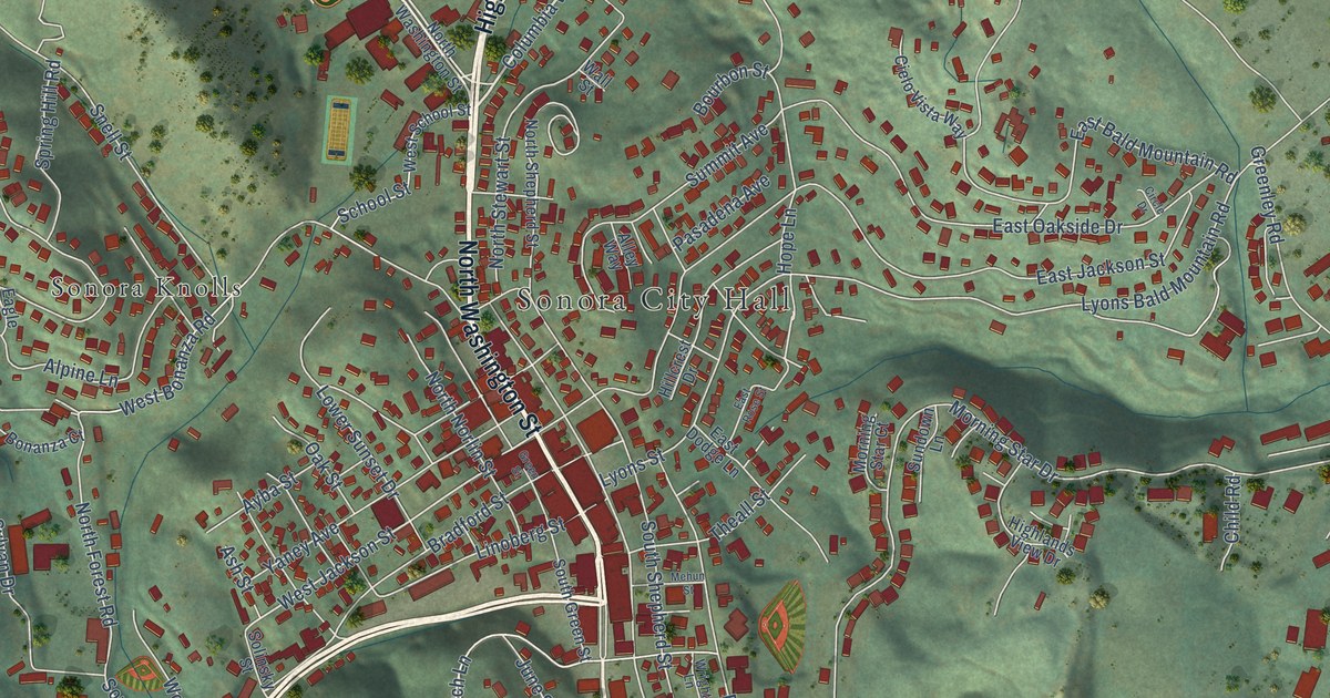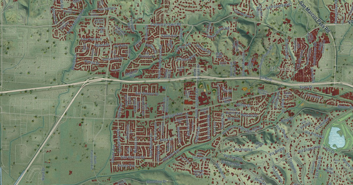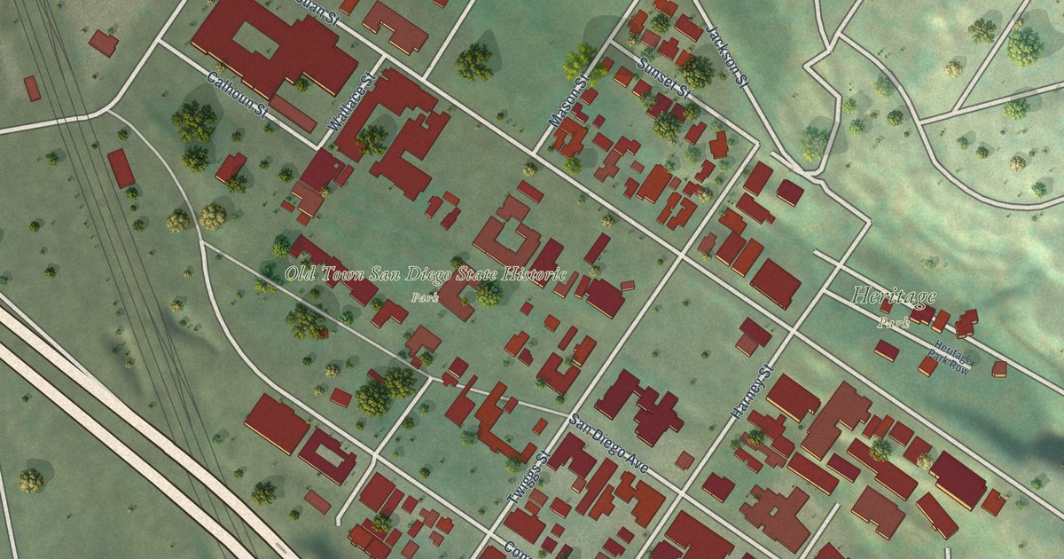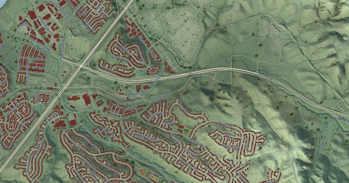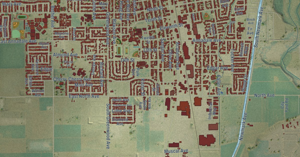
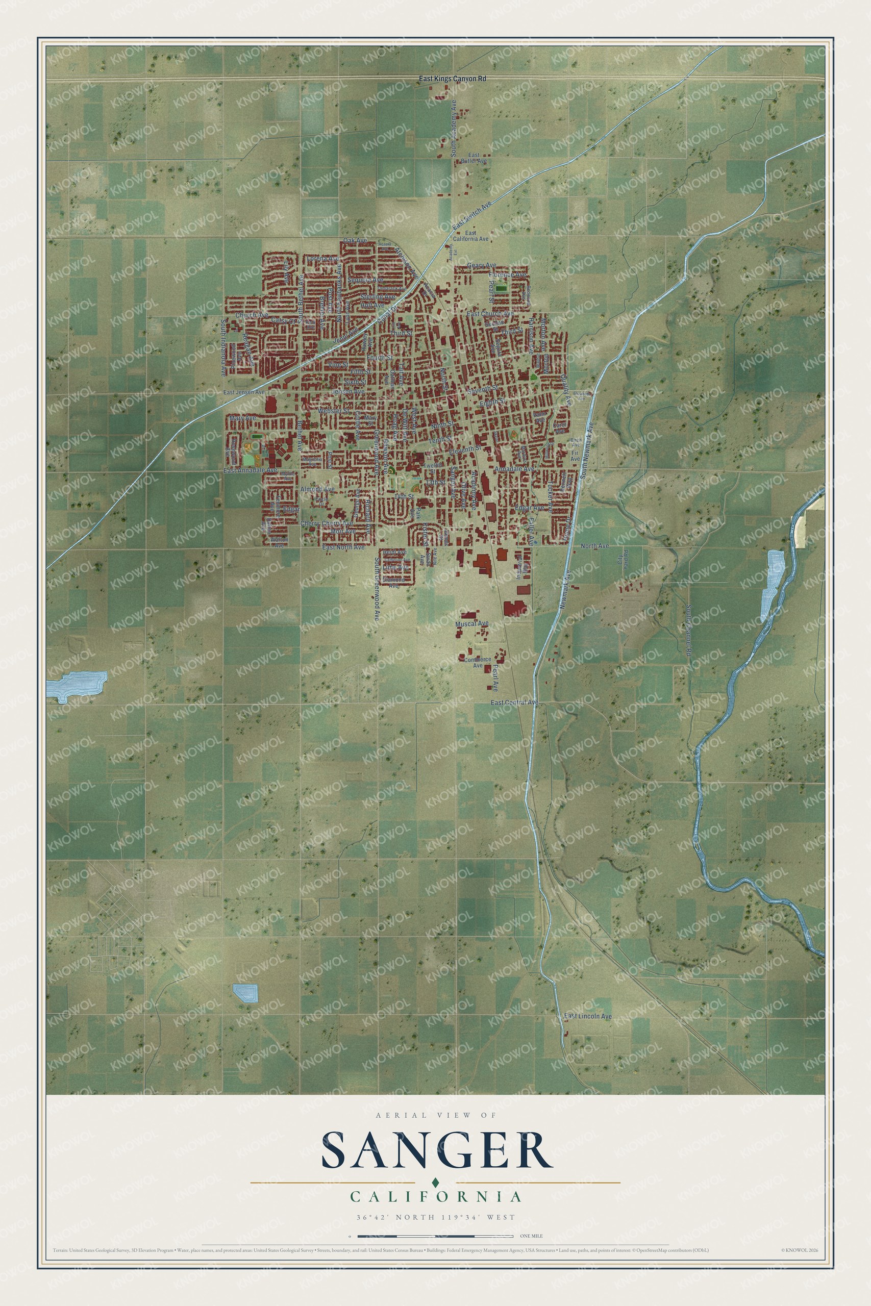
This beautifully detailed map of Sanger, California was created in 2026 using aerial imagery combined with modern topographical, census, street and landmark data. It's a modern aerial view of Sanger in Fresno County, California, that combines modern data with a vintage aesthetic. The roads feature printed names, and if you look closely you can find your exact house accurately shown in its correct location.
Explore an aerial view of Sanger, California
On this map you'll find Newmark Avenue, Sterling Avenue, South Newmark Avenue, Eighth Street, Atchison Avenue, Lorena Avenue, East Central Avenue, Greenwood Avenue, Florence Avenue, Rawson Avenue, Bethel Avenue, Fourth Street, and more. Each red shape is a building, so zoom in on the preview and look for yours.
Every town has a first chapter, and Sanger is no exception. The Fresno County History puts it this way: "J. T. Walton is a member of the Baptist Church, he and his wife being two of the eight charter members of the Baptist Church at Sanger, the first church organized in the town."
Sanger is a city in Fresno County. The Census Bureau counted 26,617 people here in 2020.
Take a closer look at the Sanger map
Names on this map
These names are printed on this map.
Streets and roads: Newmark Avenue, Sterling Avenue, South Newmark Avenue, Eighth Street, Atchison Avenue, Lorena Avenue, East Central Avenue, Greenwood Avenue, Florence Avenue, Rawson Avenue, Bethel Avenue, Fourth Street.
More street names, A to Z
13th Street, 14th Street, Acacia Avenue, Acacia Drive, Academy Avenue, Academy Extension, Almond Avenue, Annadale Avenue, Bennett Way, Birch Avenue, Brehler Avenue, Canal Drive, Carol Avenue, Catherine Avenue, Catsy Court, Cherry, Cherry Avenue, Church Avenue, Circle Drive, City Yard Road, Commerce Avenue, Cottle Avenue, Dalton Avenue, De Witt Avenue, Diamond Avenue, East Annadale Avenue, East Butler Avenue, East California Avenue, East Church Avenue, East Jensen Avenue, East Kings Canyon Road, East Lincoln Avenue, East North Avenue, East Switch Avenue, Edgar, Edgar Avenue, Eleventh Street, Elizabeth Avenue, Faller Avenue, Fenmore Avenue, Fifth Street, Fir Avenue, Geary Avenue, George Avenue, Harrison Avenue, Hawley Avenue, Heidi Avenue, Hill Avenue, Hoag Avenue, Holt Avenue, Hume Drive, Industrial Way, James Street, Jenni Avenue, Jensen Avenue, Kelli Avenue, Kister Street, Lily Avenue, Lime Avenue, Lyon Avenue, Magnolia Avenue, Mardros Avenue, Mary Avenue, Mary Street, Millwood Drive, Moir Avenue, Morton, Morton Avenue, Muscat Avenue, Myrtle Avenue, Nile Avenue, Ninth Street, North Avenue, North Fairbanks Avenue, North Street, Oak Avenue, Oatman Avenue, Olive Avenue, Palm Avenue, Park Avenue, Pearl Avenue, Pearl Street, Pinewood Avenue, Post Avenue, Post Street, Quality Avenue, Reagan Avenue, Redwood Avenue, Richard Avenue, Rosewood Avenue, Sanger Avenue, Second Street, Segura Avenue, Sequoia Avenue, Seventh Street, Sixth Street, Skylar, South Academy Avenue, South Bethel Avenue, South Channel Road, South Greenwood Avenue, South Indianola Avenue, Swan Avenue, Tait Avenue, Tamarack Avenue, Tenth Street, Third Street, Tucker Avenue, Twelfth Street, Vine Street, Walnut, Walton Avenue, Webster Street, West Avenue.
Created by KNOWOL in 2026. The buildings are small red shapes, the roads carry their printed names, and shaded relief shows the shape of the land. The title panel reads "AERIAL VIEW OF SANGER CALIFORNIA" with 36°42' NORTH 119°34' WEST.
Hang it in the hallway, the office or the cabin, or give it to someone who left Sanger and still calls it home. Open the preview and look for a street you know. See sizes and frames for the Sanger map.