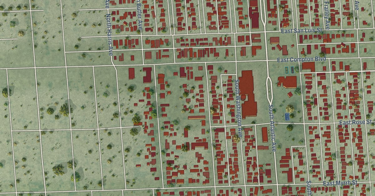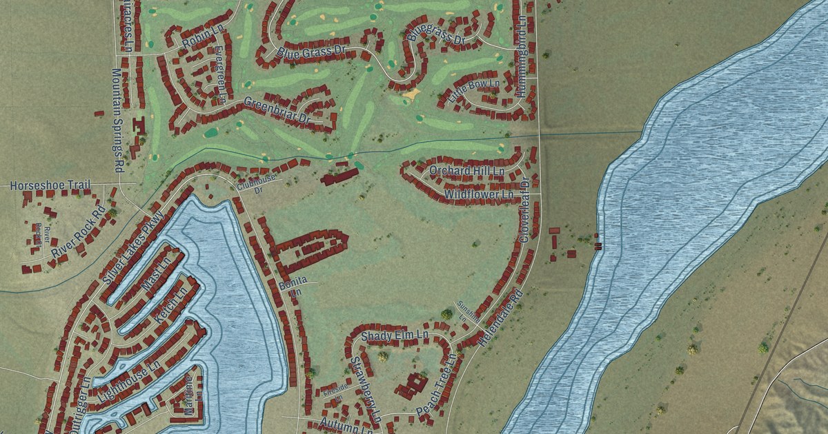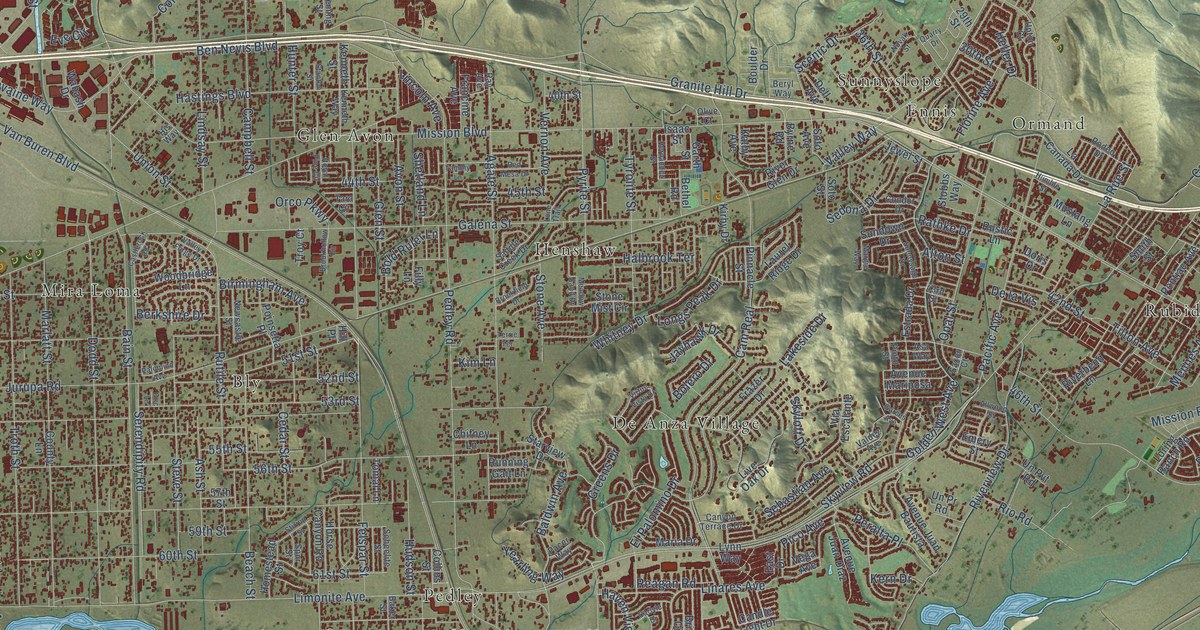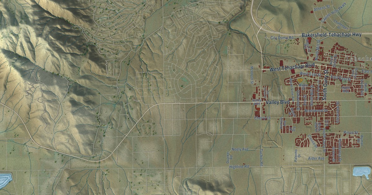
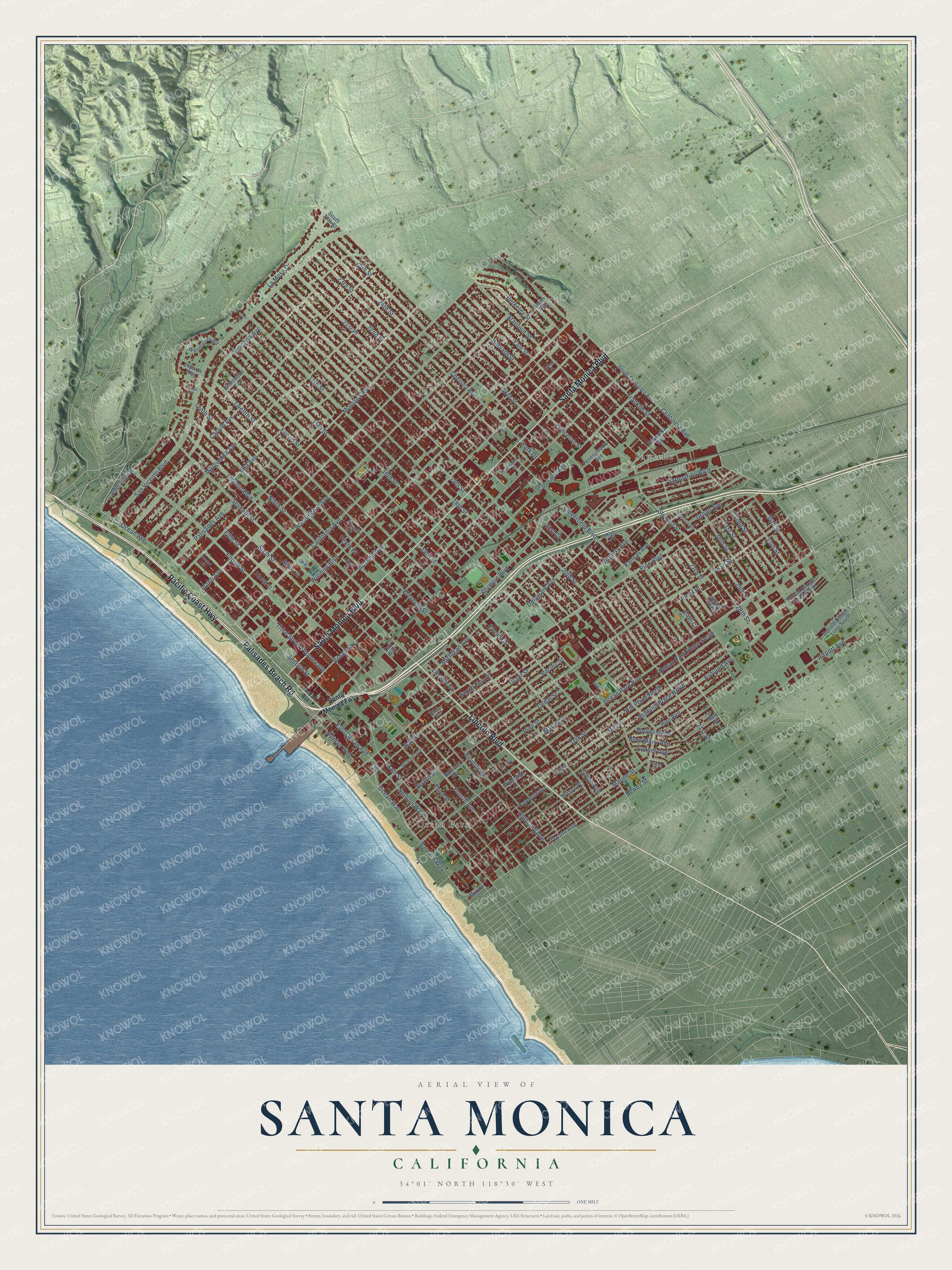
This beautifully detailed map of Santa Monica, California was created in 2026 using aerial imagery combined with modern topographical, census, street and landmark data. It's a modern aerial view of Santa Monica in Los Angeles County, California, that combines modern data with a vintage aesthetic. The roads feature printed names, and if you look closely you can find your exact house accurately shown in its correct location.
Explore an aerial view of Santa Monica, California
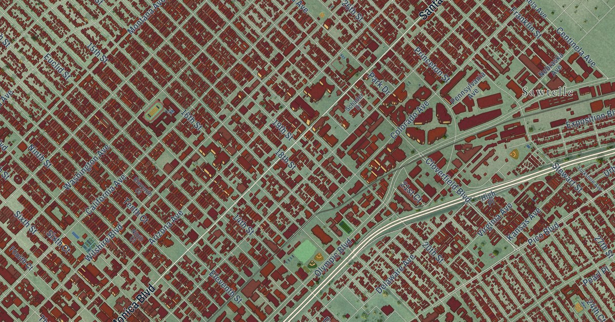
On this map you'll find Ocean Park, Sawtelle, Lincoln Boulevard, Pacific Coast Highway, Palisades Beach Road, Santa Monica Boulevard, Olympic Boulevard, Ocean Avenue, East Ocean Avenue, Neilson Way, Michigan Avenue, Eleventh Street, and more. Each red shape is a building, so zoom in on the preview and look for yours.
Santa Monica has a story worth telling. The National Register of Historic Places puts it this way: "Clinton Gorden Parkhurst, a prominent realtor in the Santa Monica Bay area
and Mayor of Venice, built the Parkhurst Building for retail shops and medical
offices."
Santa Monica is a city in Los Angeles County. The Census Bureau counted 93,076 people here in 2020.
Take a closer look at the Santa Monica map
Names on this map
These names are printed on this map.
Places: Ocean Park and Sawtelle.
Streets and roads: Lincoln Boulevard, Pacific Coast Highway, Palisades Beach Road, Santa Monica Boulevard, Olympic Boulevard, Ocean Avenue, East Ocean Avenue, Neilson Way, Michigan Avenue, Eleventh Street, Main Street, San Vicente Boulevard.
More street names, A to Z
14th Street, 15th Street, 16th Street, 17th Street, 18th Street, 19th Street, 20th Street, 21st Court, 21st Place, 21st Street, 22nd Street, 23rd Street, 24th Court, 24th Street, 25th Street, 26th Street, 27th Street, 28th Street, 29th Street, 30th Street, 31st Street, 32nd Street, 33rd Street, 34th Street, Adelaide Drive, Airport Avenue, Alta Avenue, Appian Way, Arizona Avenue, Arizona Place, Ashland Avenue, Ashland Place, Ashland Place North, Barnard Way, Bay Street, Berkeley Street, Beverly Avenue, Bicknell Avenue, Brentwood Terrace, Broadway, Bryn Mawr Avenue, California Avenue, Carlyle Avenue, Cedar Street, Centinela Avenue, Chelsea Avenue, Cloverfield Boulevard, Colorado Avenue, Copeland Court, Delaware Avenue, Dewey Place, Dewey Street, Donald Douglas Loop North, Donald Douglas Loop South, Eleventh Court, Esparta Way, Euclid Court, Euclid Street, Exposition Boulevard, Fifth Street, Fourth Avenue, Fourth Court, Fourth Street, Foxtail Drive, Franklin Street, Gale Place, Georgina Avenue, Glenn Avenue, Grant Street, Harvard Street, Highland Avenue, High Place, Hill Place North, Hill Street, Hollister Avenue, Idaho Avenue, Kansas Avenue, La Mesa Drive, Lincoln Court, Lipton Avenue, Maple Street, Marguerita Avenue, Marine Court, Marine Street, Montana Avenue, Navy Street, Nebraska Avenue, Ninth Court, Ninth Street, Oak Street, Ocean Park Boulevard, Ocean Park Place South, Ocean Way, Ozone Avenue, Pacific Street, Palisades Avenue, Park Drive, Pearl Place, Pearl Street, Pennsylvania Avenue, Pico Boulevard, Pico Place, Pier Avenue, Pine Street, Princeton Street, Raymond Avenue, Santa Monica Fwy, Schader Drive, Second Court, Second Street, Seventh Street, Sixth Court, Sixth Street, South 26th Street, South Centinela Avenue, South Pico Place, Split Road, Stanford Street, Stewart Street, Strand Street, Sunset Avenue, Taft Way, Tenth Court, Tenth Street, Third Street, Third Street Promenade, Twelfth Street, Urban Avenue, Village Parkway, Virginia Avenue, Washington Avenue, Wellesley Drive, Wilshire Boulevard, Wilson Place, Woodacres Road, Yale Street, Yorkshire Avenue.
Created by KNOWOL in 2026. The buildings are small red shapes, the roads carry their printed names, and shaded relief shows the shape of the land. The title panel reads "AERIAL VIEW OF SANTA MONICA CALIFORNIA" with 34°01' NORTH 118°30' WEST.
It looks right in a kitchen, an office or a den, and it's a gift for anyone who grew up in Santa Monica or moved away. Open the preview and find your street. See sizes and frames for the Santa Monica map.