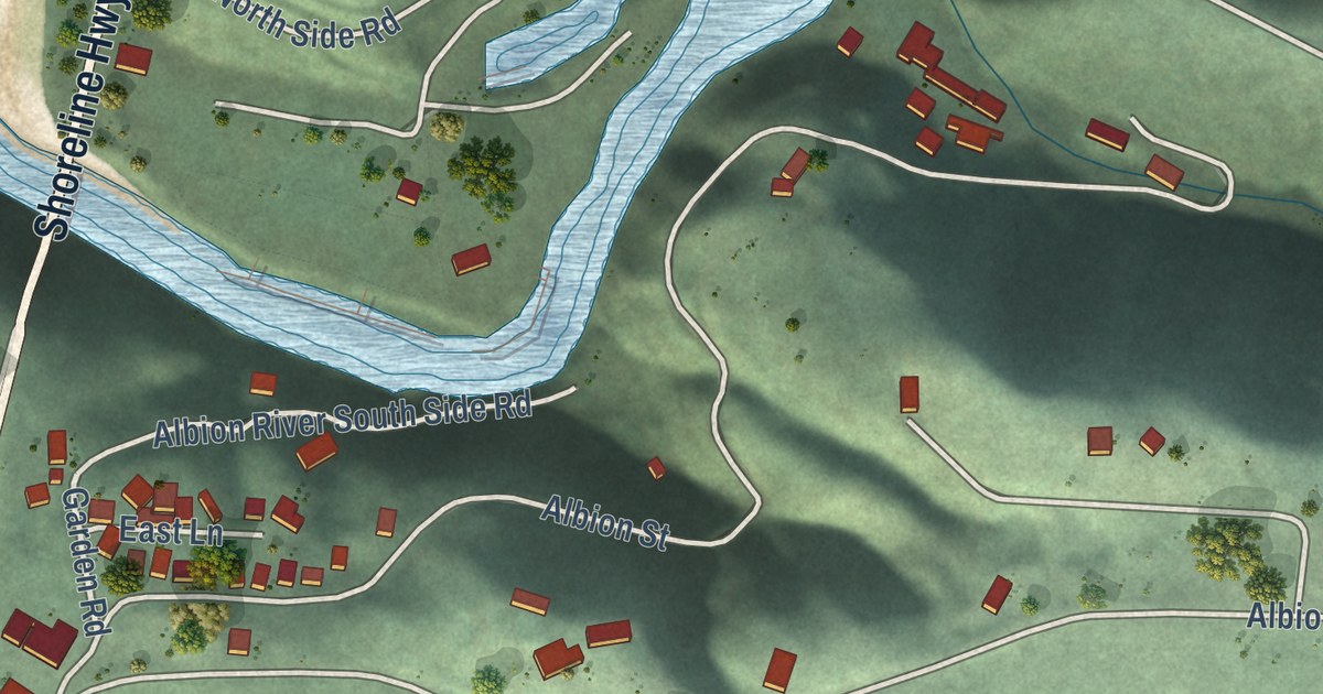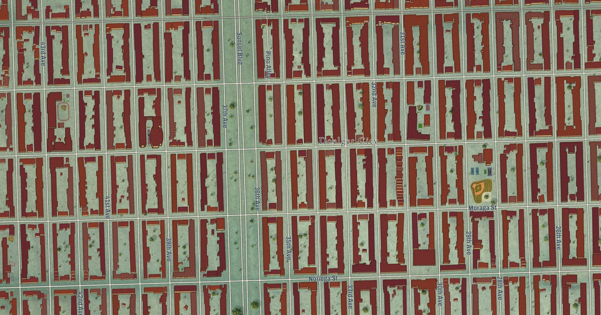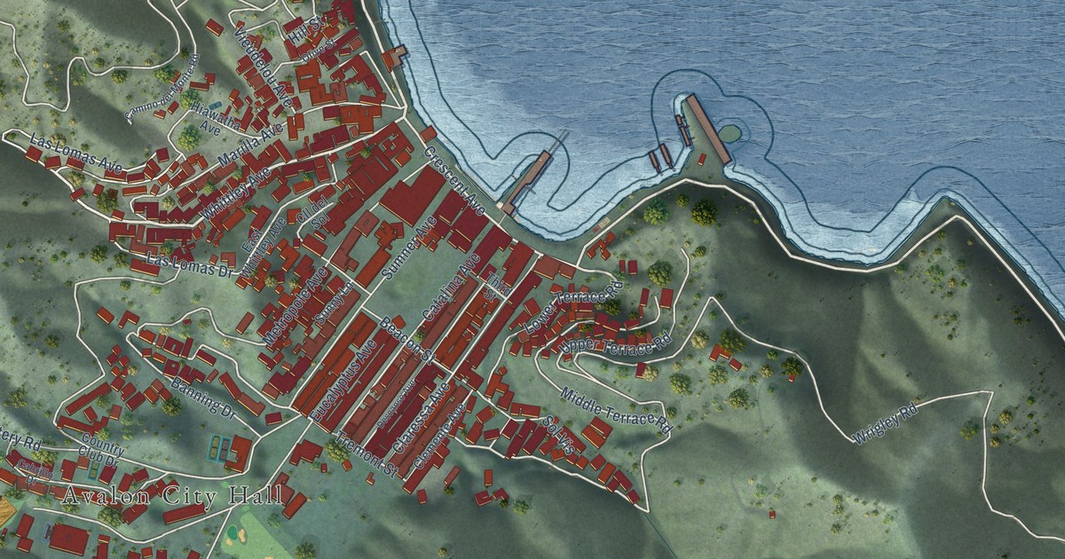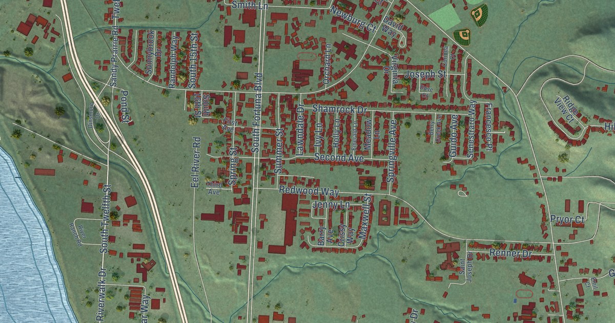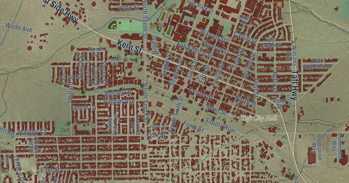
This beautifully detailed map of Taft, California was created in 2026 using aerial imagery combined with modern topographical, census, street and landmark data. It’s a one-of-a-kind view of Taft that combines accurate data with a vintage aesthetic. The map shows every building in its true location, many of the roads carry their names, and the shaded topographic relief shows the shape of the land.
Explore an aerial view of Taft, California
On the map you’ll find Taft City Hall, along with Kern Street, West Side Highway, Taft Highway, South Sixth Street, South Tenth Street, North Tenth Street, Main Street, Sixth Street, 25 Hill Road, First Street, Sierra Street, and more. If you look closely you can even find your house accurately drawn in its correct location. Zoom in on the preview to look for yours.
Did you know this piece of Taft, California history?
From the California A Guide to the Golden State: "Moron was chosen as the site of the post office, its name changed to honor President Taft."
Take a closer look at the Taft map
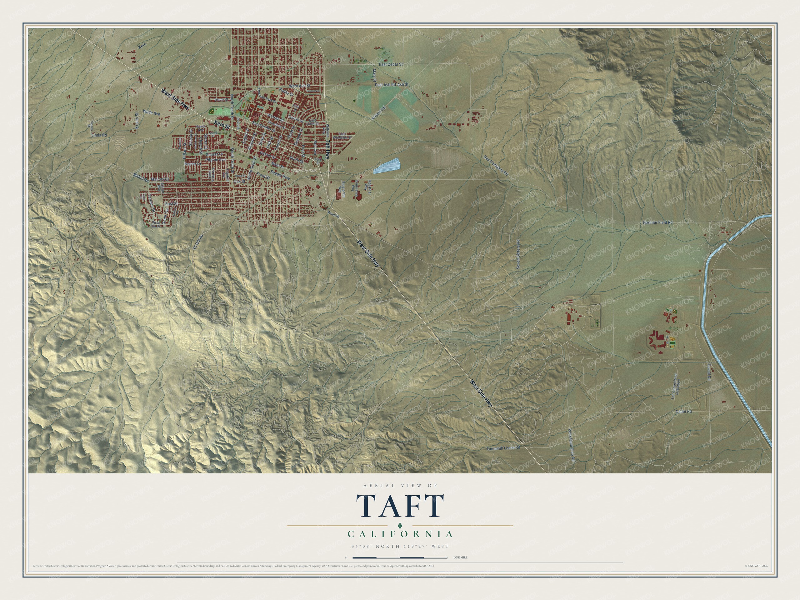
Street and place names on the Taft, California map
These names are printed on the map of Taft, California.
Places: Taft City Hall.
Streets and roads: Kern Street, West Side Highway, Taft Highway, South Sixth Street, South Tenth Street, Main Street, North Tenth Street, Sixth Street, Airport Road, 25 Hill Road, Oak Street, Fourth Street.
More street names, A to Z
Arroyo Way, Ash Street, Bell Avenue, Cadet Road, Calvin Street, Center Street, Church Street, Commerce Way, Duvall Road, East Ash Road, East Calvin Street, East Cedar Street, East Street, East Woodrow Street, Eighth Street, Emmons Park Drive, Enterprise Way, Fifth Street, Finley Drive, First Street, Ford Street, Franklin Avenue, Front Street, Gardner Field Road, Gas Company Road, Grant Terrace, Harding Avenue, Hillard Street, Hope Street, Industrial Way, Irene Street, Keene Lane, Kern, Kristin Street, Lassen Street, Linda Road, Loma Vista Avenue, Mallory Court, Mary Street, McKinley Street, Midoil Road, Ninth Street, North Street, Palm Street, Petroleum Club Road, Pilgrim Avenue, Pine Drive, Quail Court, Ranier Avenue, San Emidio Street, Second Street, Seven Sisters Road, Seventh Street, Shasta Street, Sierra Street, Sunset Lane, Supply Row, Suzanne Lane, Taft Correctional Institution, Tannehill Lease Road, Terrace Drive, Third Street, Thomas Street, Vista Via Drive, Wade Avenue, Warren Street, West Ash Street, Williams Way, Woodrow Street, Wood Street.
See the Taft, California map on a wall
The Taft map as an 18 x 24 inch print in a black frame.

This beautifully detailed map of Taft makes an attractive addition to your office, library, or den, and it can even be used to teach children the geography and history of the area. It also makes a great gift for anyone with Taft roots. When you’re done exploring, click here to get your copy of the Taft map.