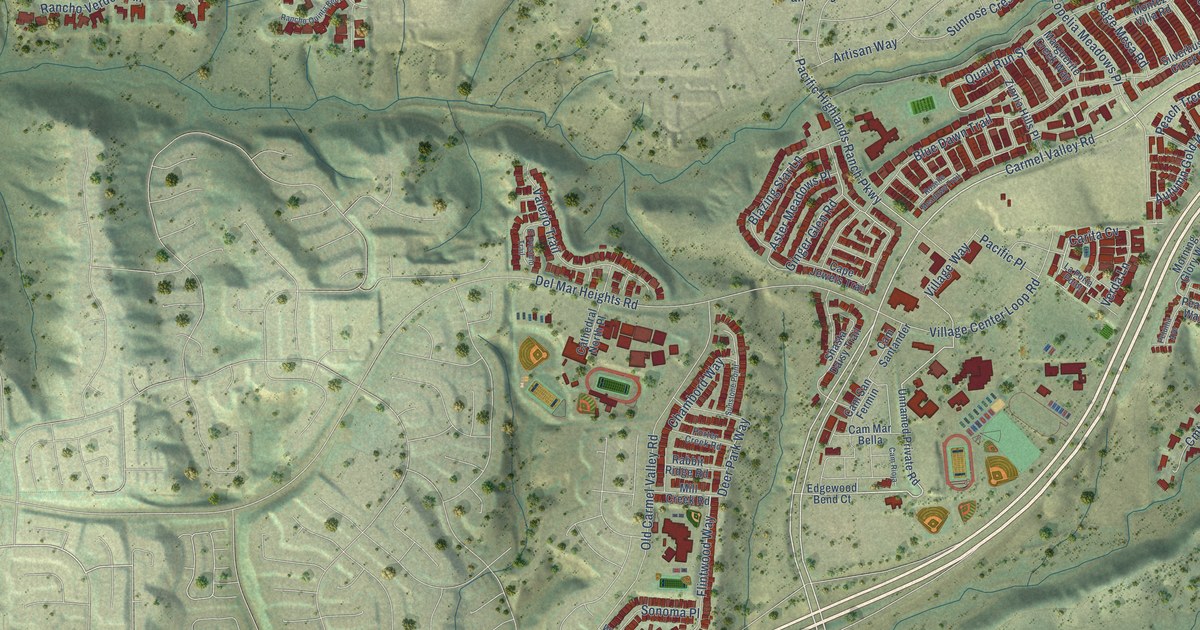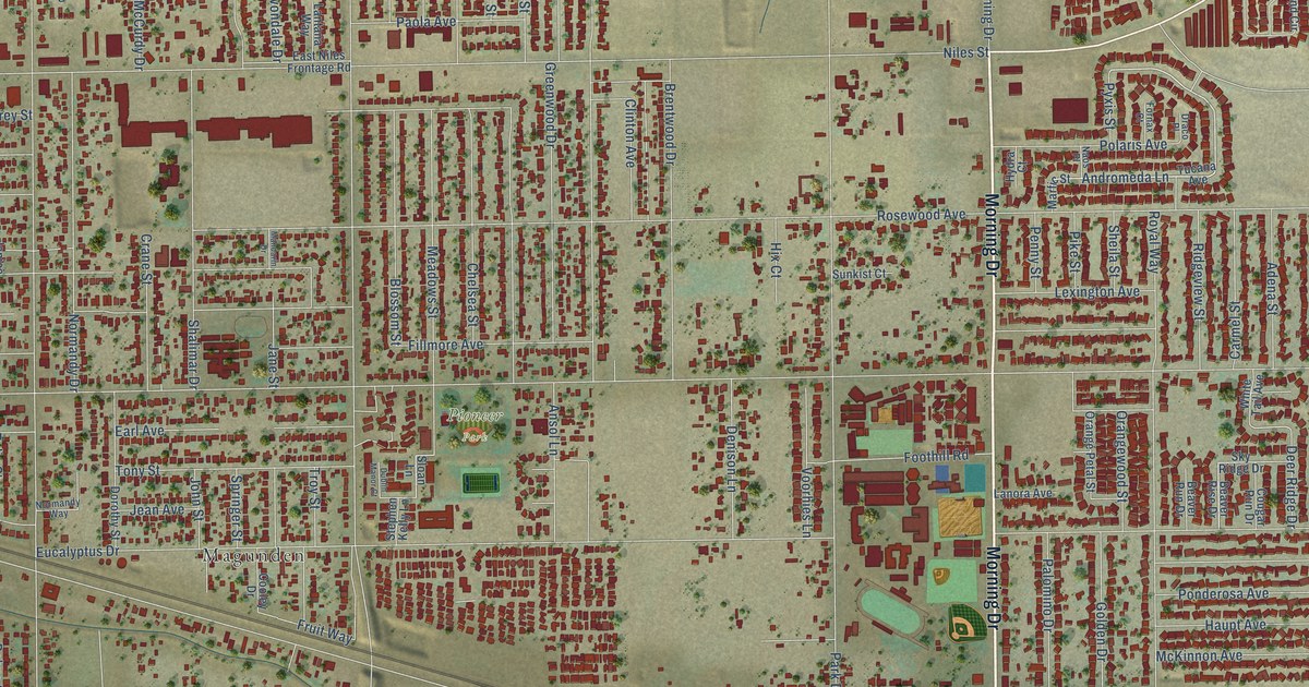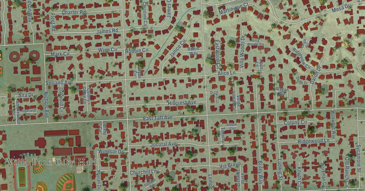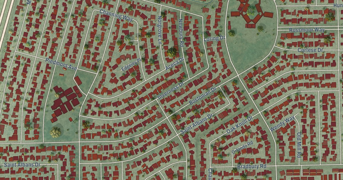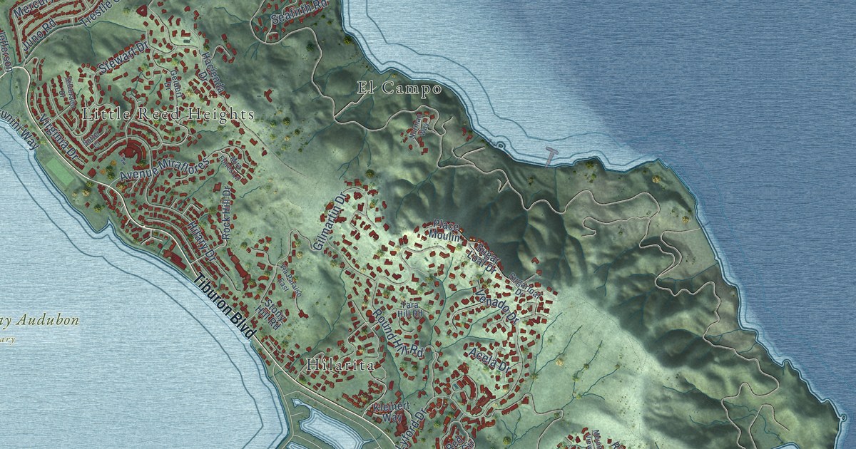
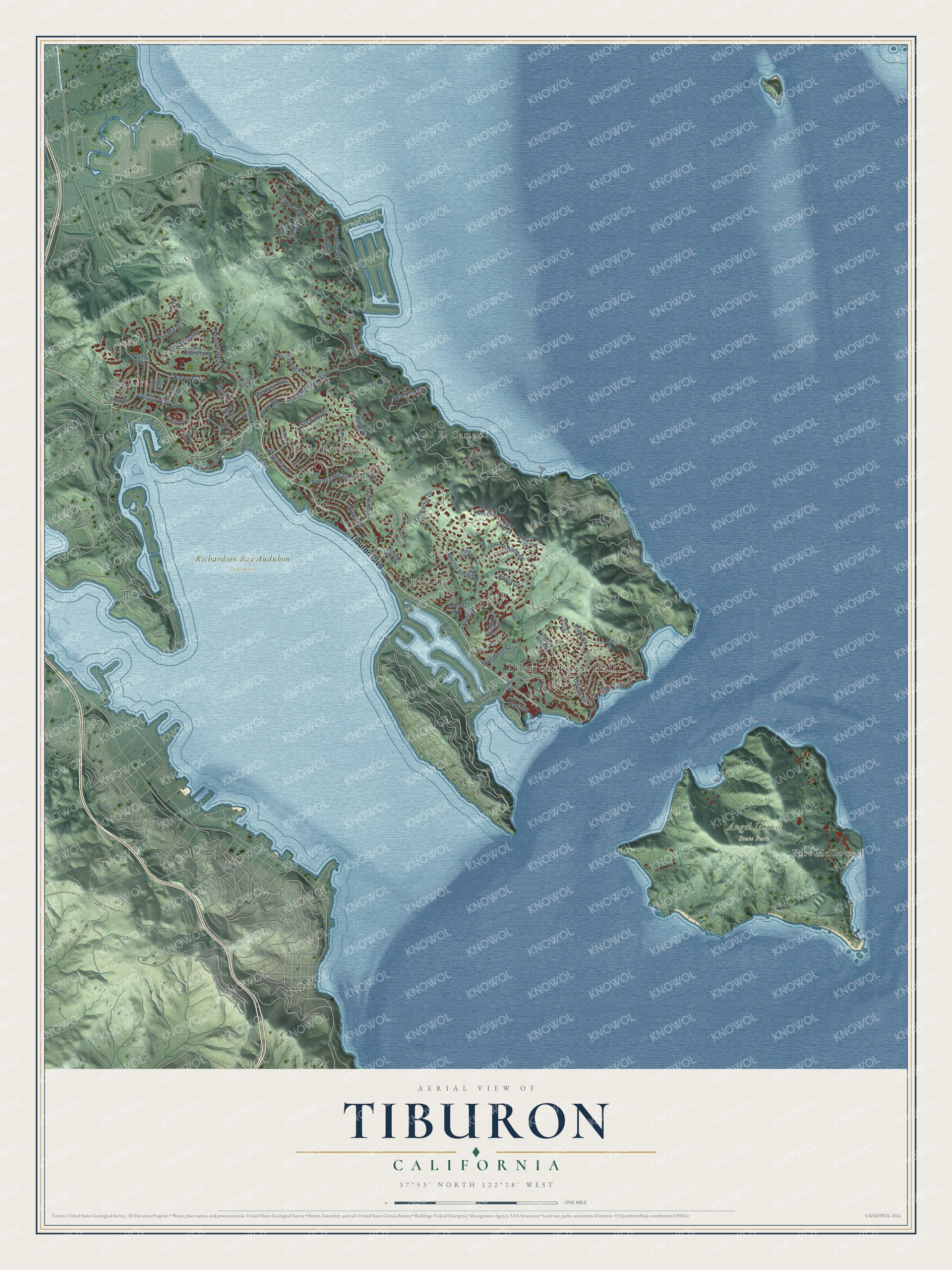
This beautifully detailed map of Tiburon, California was created in 2026 using aerial imagery combined with modern topographical, census, street and landmark data. It's a modern aerial view of Tiburon in Marin County, California, that combines modern data with a vintage aesthetic. The roads feature printed names, and if you look closely you can find your exact house accurately shown in its correct location.
Explore an aerial view of Tiburon, California
On this map you'll find Tiburon Town Hall, Reed, Bel Aire, Angel Island State Park, Richardson Bay Audubon Sanctuary, El Campo, Fort McDowell, Hilarita, Little Reed Heights, Tiburon Boulevard, Juno Road, Paradise Drive, and more. Each red shape is a building, so zoom in on the preview and look for yours.
Every town has a first chapter, and Tiburon is no exception. The National Register of Historic Places puts it this way: "Benjamin Lyford about 1889 as a
gatehouse and office at the entrance to the southern portion of his development
(first subdivision on the Tiburon Peninsula), Lyford's Hygeia or Goddess of Health."
Tiburon is a town in Marin County. The Census Bureau counted 9,146 people here in 2020.
Take a closer look at the Tiburon map
Names on this map
These names are printed on this map.
Places: Tiburon Town Hall, Reed, Bel Aire, Angel Island State Park, Richardson Bay Audubon Sanctuary, El Campo, Fort McDowell, Hilarita and Little Reed Heights.
Streets and roads: Tiburon Boulevard, Juno Road, Paradise Drive, Reed Ranch Road, Mar West Street, Gilmartin Drive, Lyford Drive, Blackfield Drive, Hilary Drive, Round Hill Road, Trestle Glen Boulevard, Stewart Drive.
More street names, A to Z
Acela Drive, Antonette Drive, Avenue Miraflores, Beach Road, Bond Lane, Brunini Way, Cecilia Way, Cibrian Drive, Circle Drive, Claire Way, Diviso Street, East Terrace, Geldert Drive, Greenwood Beach Road, Hacienda Drive, Harbor Oak Drive, Indian Rock Court, Janet Way, Jefferson Drive, Karen Way, Kleinert Way, Lagoon Vis, Leland Way, Main Street, Mar East Street, Mateo Drive, Mercury Avenue, Midden Lane, Mira Flores Lane, Mountain View Drive, Norman Way, North Terrace, Old Landing Road, Place Moulin, Pso Mirasol, Rancho Drive, Red Hill Circle, Ridge Road, Rock Hill Drive, Seafirth Road, Silverado Drive, Stony Hill Road, Sugar Loaf Drive, Sugarloaf Drive, Sutter Court, Tara Hill Road, Taylor Road, Turtle Rock Court, Venado Drive, Via Capistrano, Via Los Altos, Via Paraiso East, Virginia Drive, Vistazo West Street, Warrens Way.
Created by KNOWOL in 2026. The buildings are small red shapes, the roads carry their printed names, and shaded relief shows the shape of the land. The title panel reads "AERIAL VIEW OF TIBURON CALIFORNIA" with 37°53' NORTH 122°28' WEST.
Hang it in the hallway, the office or the cabin, or give it to someone who left Tiburon and still calls it home. Open the preview and look for a street you know. See sizes and frames for the Tiburon map.