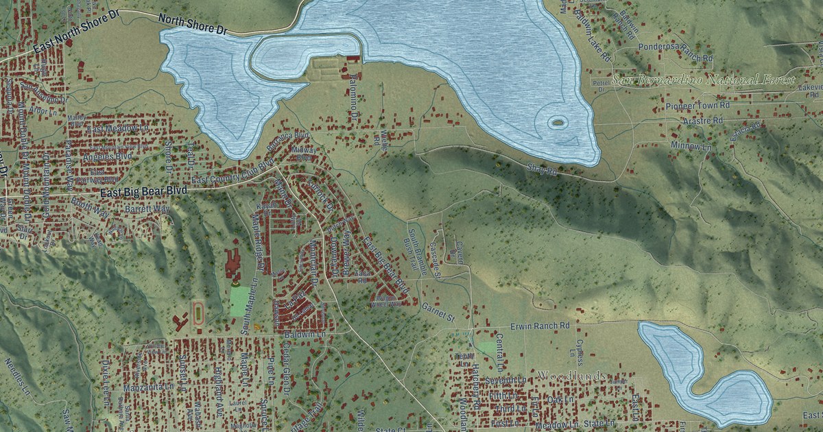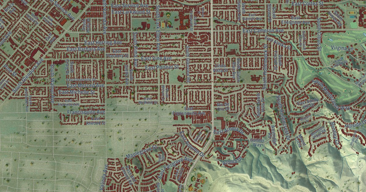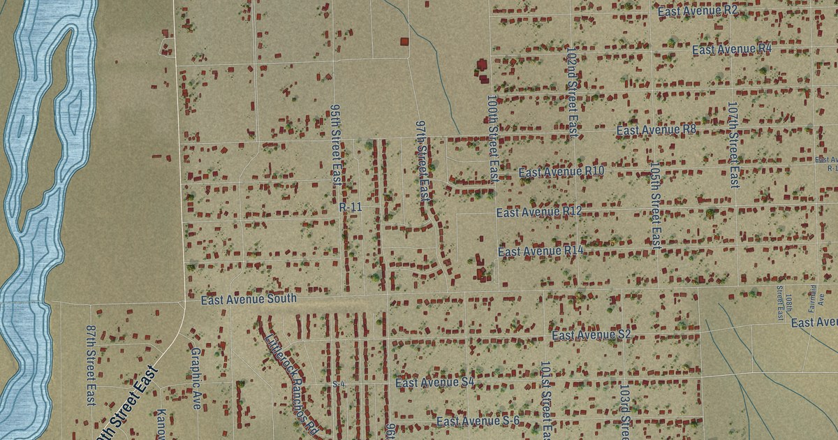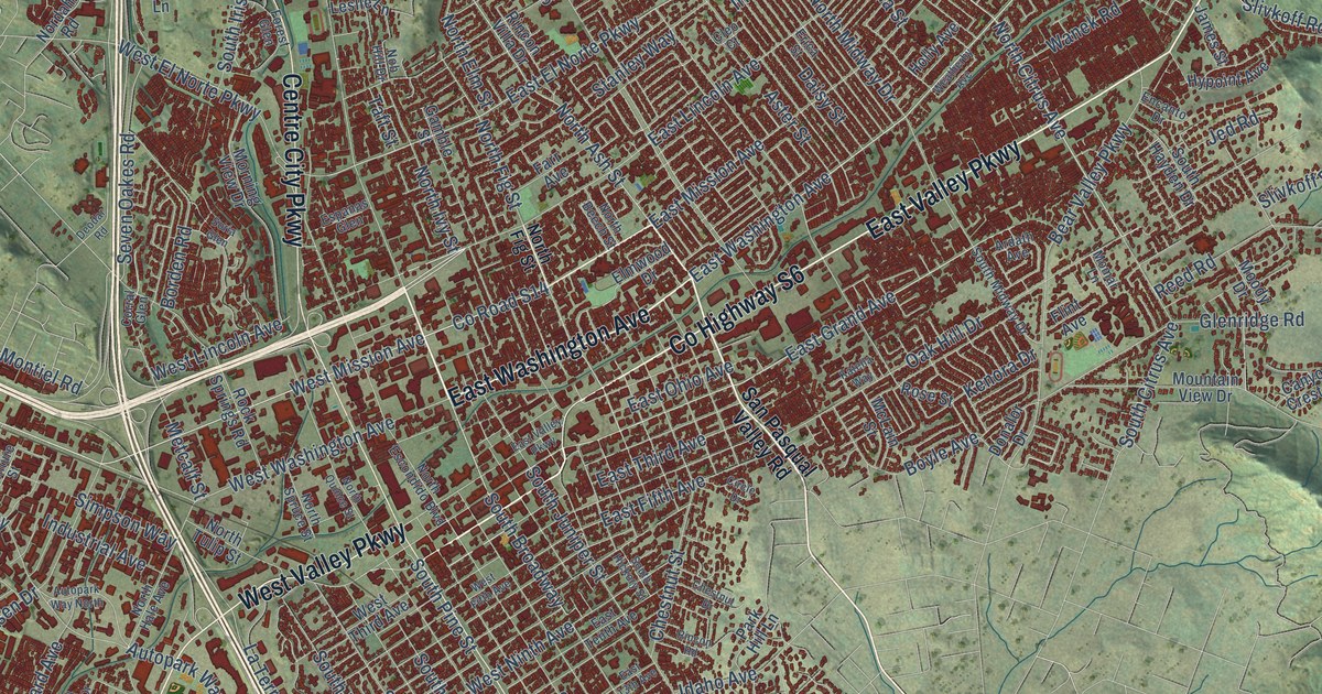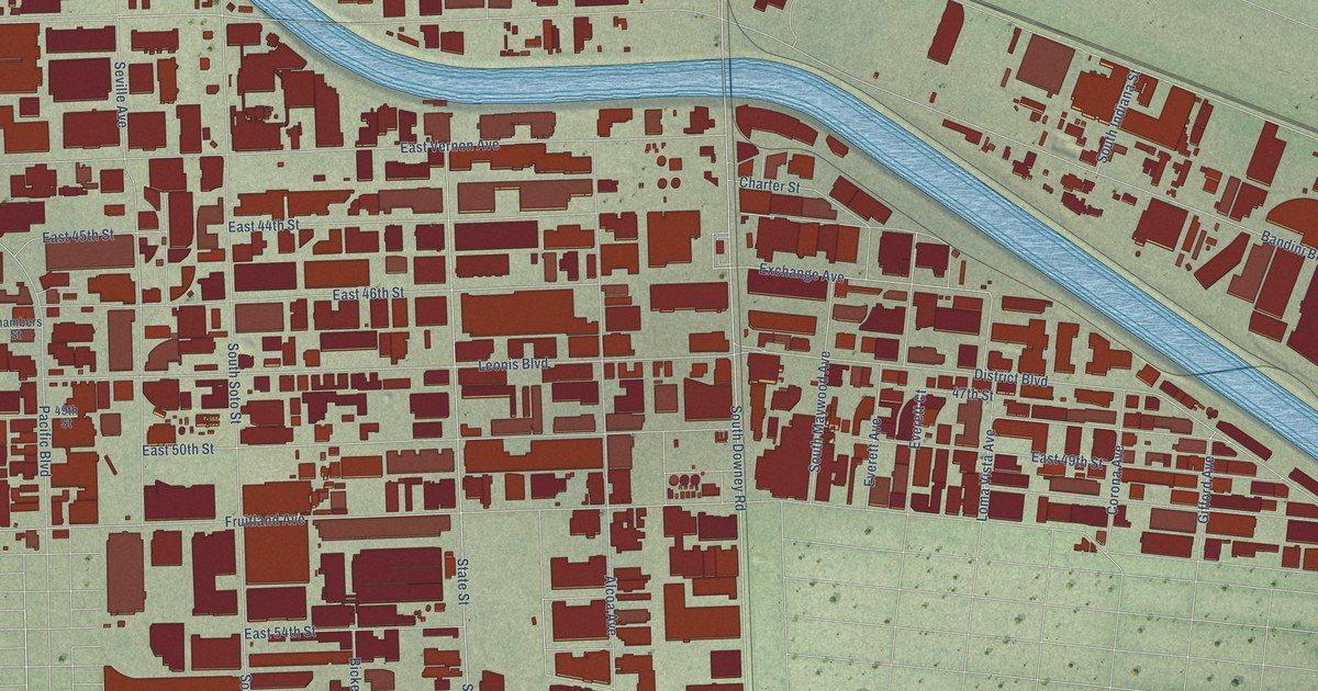
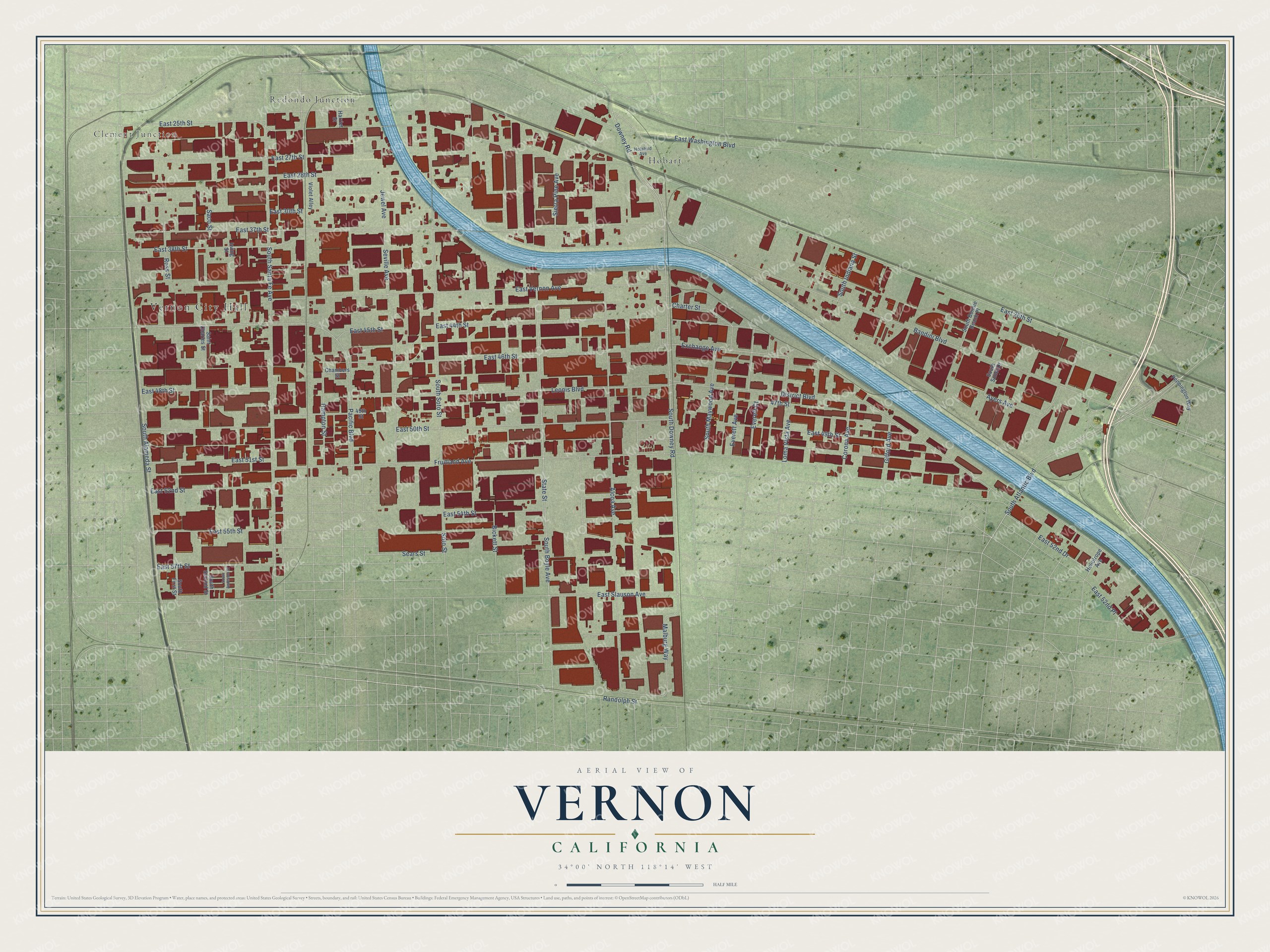
This beautifully detailed map of Vernon, California was created in 2026 using aerial imagery combined with modern topographical, census, street and landmark data. It's a modern aerial view of Vernon in Los Angeles County, California, that combines modern data with a vintage aesthetic. The roads feature printed names, and if you look closely you can find your exact house accurately shown in its correct location.
Explore an aerial view of Vernon, California
On this map you'll find Vernon City Hall, Clement Junction, Hobart, Redondo Junction, South Downey Road, East 25th Street, East Vernon Avenue, East 37th Street, East 38th Street, Exchange Avenue, Downey Road, Malburg Way, and more. Each red shape is a building, so zoom in on the preview and look for yours.
Vernon has a story worth telling. The record at ohp.parks.ca.gov puts it this way: "The battle of La Mesa, last military encounter of the war on the California front, was fought here January 9, 1847."
Vernon is a city in Los Angeles County. The Census Bureau counted 222 people here in 2020.
Take a closer look at the Vernon map
Names on this map
These names are printed on this map.
Places: Vernon City Hall, Clement Junction, Hobart and Redondo Junction.
Streets and roads: South Downey Road, East 25th Street, East Vernon Avenue, East 37th Street, East 38th Street, Exchange Avenue, Downey Road, Malburg Way, East 26th Street, South Alameda Street, Bandini Boulevard, Fruitland Avenue.
More street names, A to Z
47th Street, 49th Street, Alcoa Avenue, Ayers Avenue, Bickett Street, Chambers Street, Charter Street, Corona Avenue, District Boulevard, East 27th Street, East 28th Street, East 30th Street, East 44th Street, East 45th Street, East 46th Street, East 48th Street, East 49th Street, East 50th Street, East 51st Street, East 52nd Drive, East 52nd Place, East 52nd Street, East 54th Street, East 55th Street, East 57th Street, East Slauson Avenue, East Washington Boulevard, Everett Avenue, Everett Court, Gifford Avenue, Hampton Street, Harriet Street, Heliotrope Avenue, Holabird Avenue, Irving Street, Jewel Avenue, Leonis Boulevard, Loma Vista Avenue, Pacific Boulevard, Pennington Way, Randolph Street, Ross Street, Saco Street, Saint Charles Street, Sears Street, Seville Avenue, Sierra Pine Avenue, Soto Street, South Anderson Street, South Atlantic Boulevard, South Bonnie Beach Place, South Boyle Avenue, South First Street, South Indiana Street, South Maywood Avenue, South Santa Fe Avenue, South Second Street, South Soto Street, South Sunol Drive, State Street, Violet Alley.
Created by KNOWOL in 2026. The buildings are small red shapes, the roads carry their printed names, and shaded relief shows the shape of the land. The title panel reads "AERIAL VIEW OF VERNON CALIFORNIA" with 34°00' NORTH 118°14' WEST.
It looks right in a kitchen, an office or a den, and it's a gift for anyone who grew up in Vernon or moved away. Open the preview and find your street. See sizes and frames for the Vernon map.