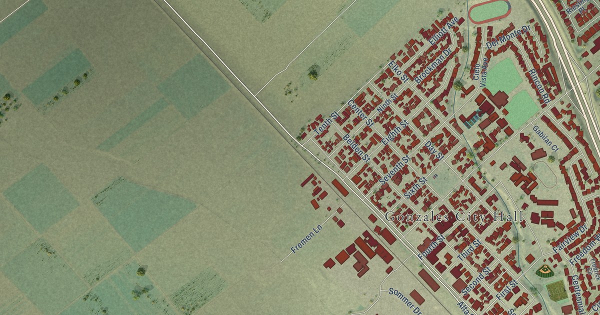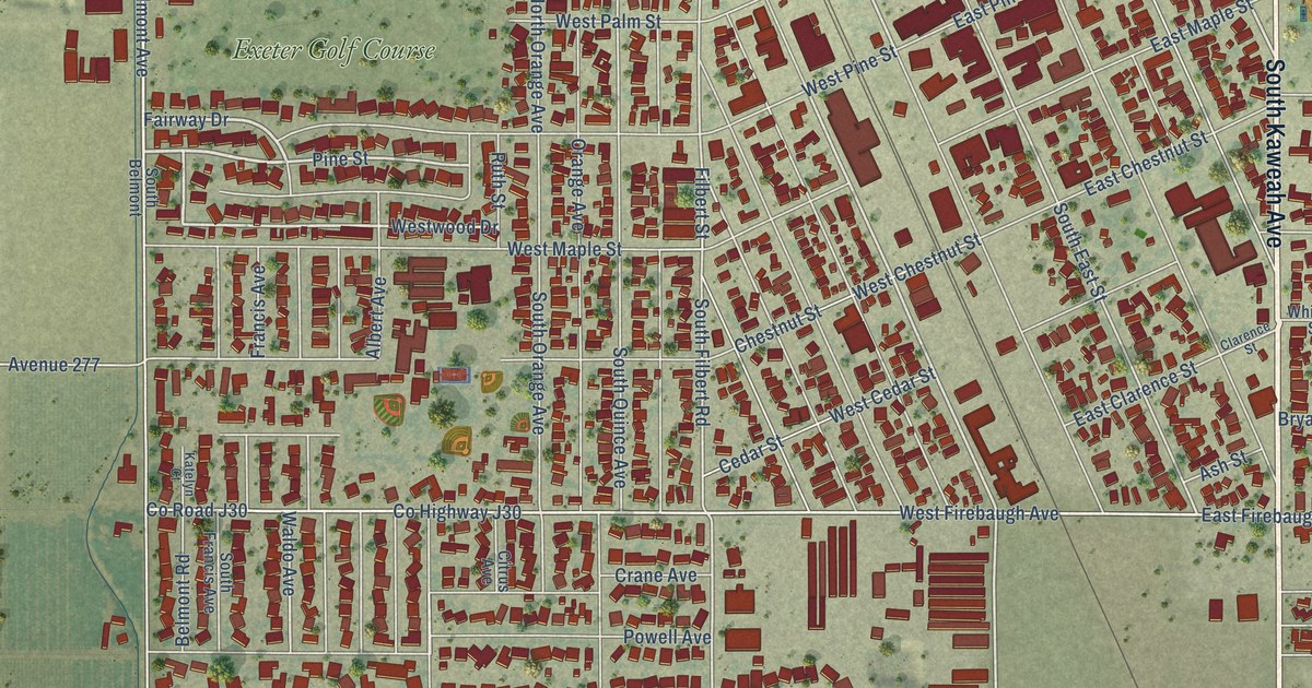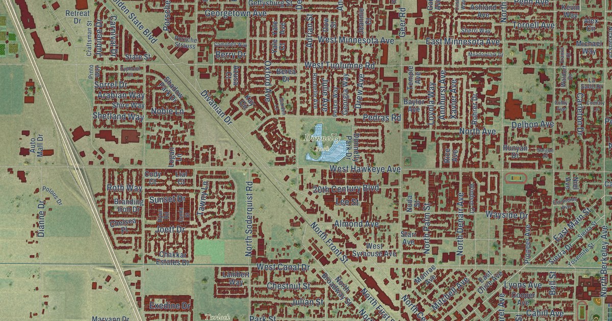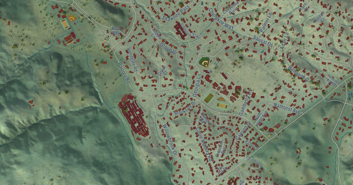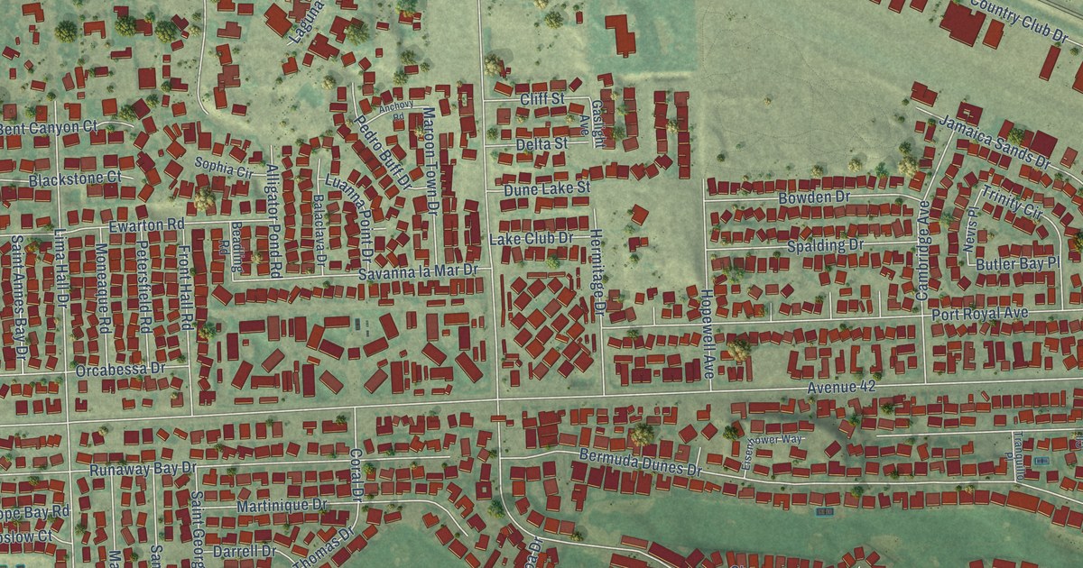
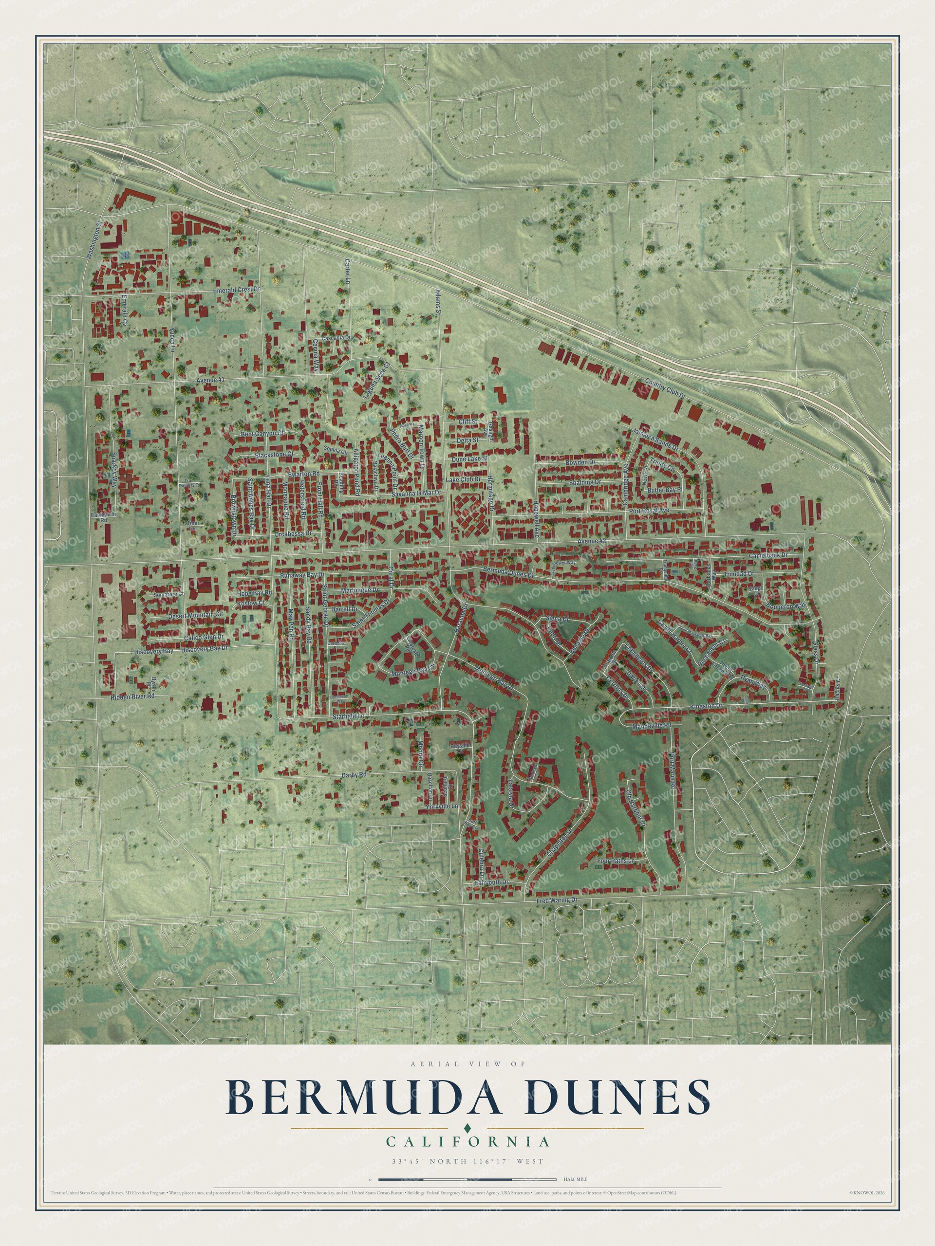
This beautifully detailed map of Bermuda Dunes, California was created in 2026 using aerial imagery combined with modern topographical, census, street and landmark data. It's a modern aerial view of Bermuda Dunes in Riverside County, California, that combines modern data with a vintage aesthetic. The roads feature printed names, and if you look closely you can find your exact house accurately shown in its correct location.
Explore an aerial view of Bermuda Dunes, California
On this map you'll find Kingston Drive, Brownstown Drive, Country Club Drive, Avenue 42, Adams Street, Washington Street, Starlight Lane, Yucca Lane, Avenue 41, Bermuda Dunes Drive, Lima Hall Drive, Montego Bay Drive, and more. Each red shape is a building, so zoom in on the preview and look for yours.
Bermuda Dunes is a community in Riverside County. The Census Bureau counted 8,244 people here in 2020. The map prints the town name in its title panel, with the coordinates below it.
Take a closer look at the Bermuda Dunes map
Names on this map
These names are printed on this map.
Streets and roads: Kingston Drive, Brownstown Drive, Country Club Drive, Avenue 42, Adams Street, Washington Street, Starlight Lane, Yucca Lane, Avenue 41, Bermuda Dunes Drive, Lima Hall Drive, Montego Bay Drive.
More street names, A to Z
Alligator Pond Road, Anchovy Road, Balaclava Drive, Baracoa Drive, Barbados Way, Bayside Court, Beadling Road, Bellagio Drive, Bent Canyon Court, Blackstone Court, Boqueron Way, Bowden Drive, Buccaneer Court, Buff Bay Court, Butler Bay Place, Byron Place, Caballeros Drive, Calico Glen Drive, Cambridge Avenue, Camelback Drive, Capri Drive, Caracas Place, Carter Lane, Cascadia Drive, Castle Harbor Court, Cecina Way, Cerritos Drive, Chapelton Drive, Ciego Drive, Cliff Street, Cll Grant, Coral Drive, Criner Terrace, Culebra Lane, Darby Road, Darien Drive, Darrell Drive, Delta Street, Desert Mountain Circle, Discovery Bay, Discovery Bay Drive, Dune Lake Street, Easthaven Road, Eisenhower Way, Emerald Crest Drive, Emerald Cv, Ewarton Road, Falmouth Drive, Four Paths Lane, Fred Waring Drive, Front Hall Road, Gaslight Avenue, Glass Drive, Granada Drive, Hazelton Lane, Hermitage Drive, Hidden River Road, Hope Bay Road, Hopewell Avenue, Jamaica Sands Drive, Koslow Court, Lacovia Drive, Laguna Seca Court, Lake Club Drive, Linstead Road, Luanna Point Drive, Mandeville Road, Maroon Town Drive, Martinique Drive, May Pen Road, Moneaque Road, Montego Bay Circle, Montego Court, Moore Circle, Nevis Place, Old Harbour Drive, Orcabessa Drive, Pedro Buff Drive, Petersfield Road, Port Maria Road, Port Royal Avenue, Rachel Court, Runaway Bay Drive, Ryan Way, Saint Annes Bay Drive, Saint George Drive, Saint Margarets Bay, Saint Thomas Drive, Sandy Bay Road, Santiago Place, Savanna la Mar Drive, Scollard Court, Siena Drive, Sombrero Court, Somerset Way, Sophia Circle, Spalding Drive, Sparkey Way, Spur Place, Taylor Green Way, Tranquillo Place, Trinidad Drive, Trinity Circle, True Country Court, Yorkville Lane.
Created by KNOWOL in 2026. The buildings are small red shapes, the roads carry their printed names, and shaded relief shows the shape of the land. The title panel reads "AERIAL VIEW OF BERMUDA DUNES CALIFORNIA" with 33°45' NORTH 116°17' WEST.
Hang it in the hallway, the office or the cabin, or give it to someone who left Bermuda Dunes and still calls it home. Open the preview and look for a street you know. See sizes and frames for the Bermuda Dunes map.