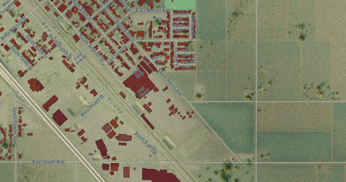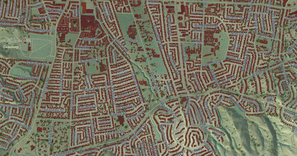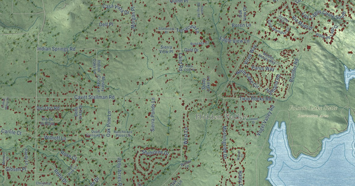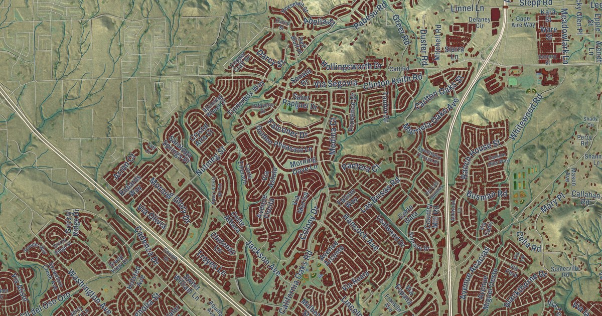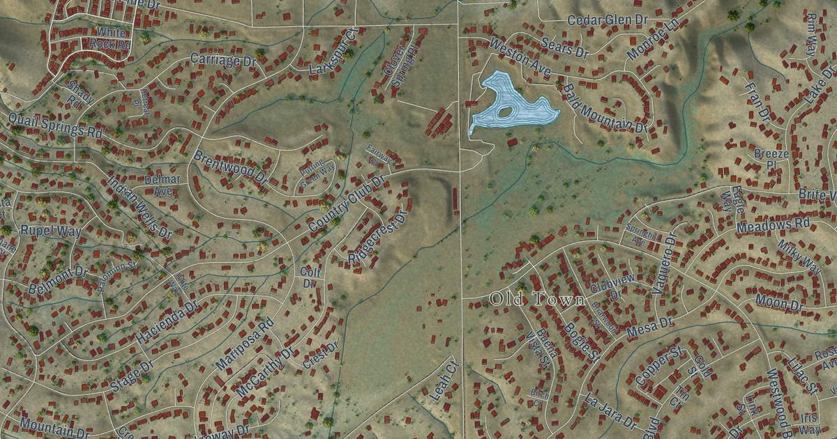
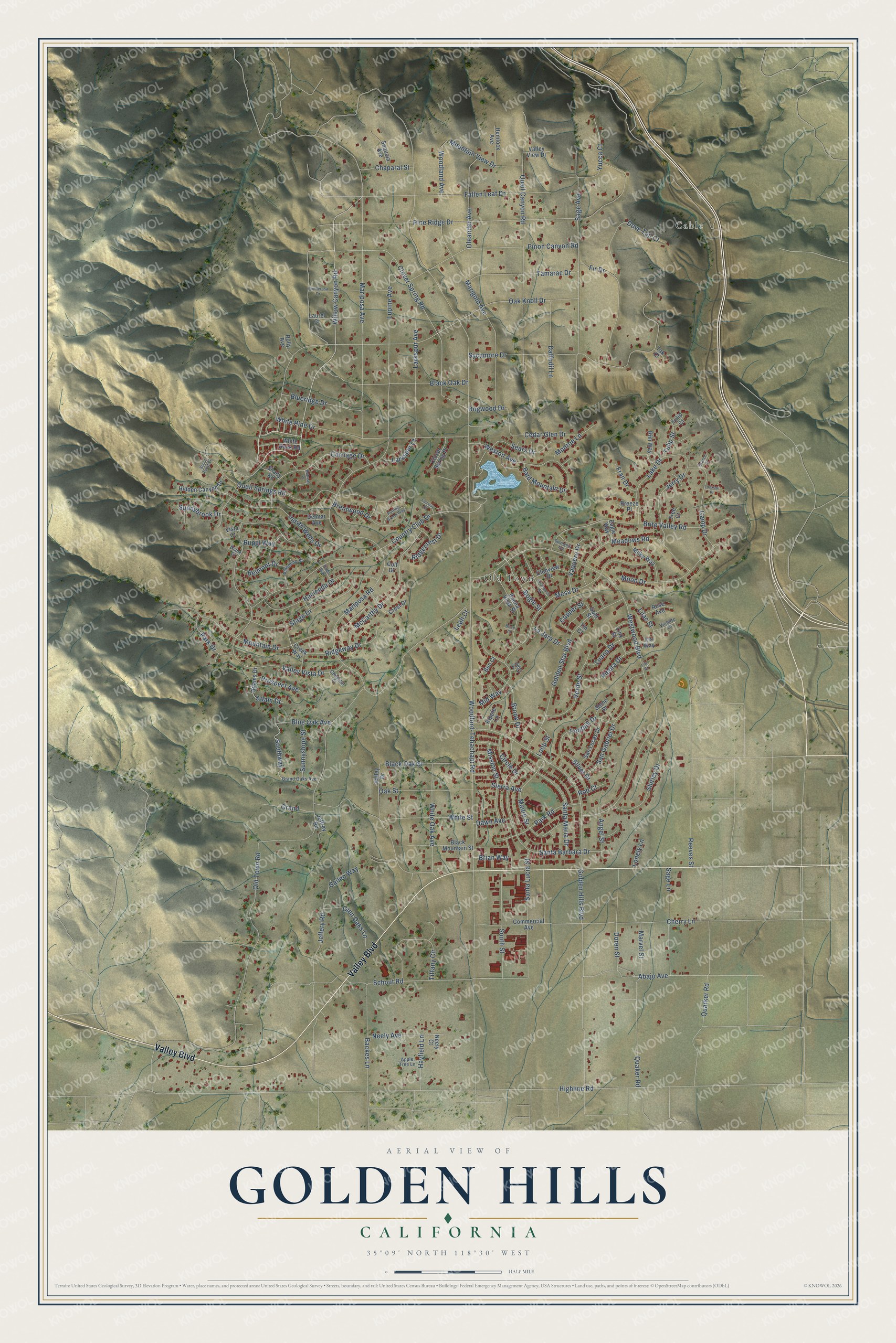
This beautifully detailed map of Golden Hills, California was created in 2026 using aerial imagery combined with modern topographical, census, street and landmark data. It's a modern aerial view of Golden Hills in Kern County, California, that combines modern data with a vintage aesthetic. The roads feature printed names, and if you look closely you can find your exact house accurately shown in its correct location.
Explore an aerial view of Golden Hills, California
On this map you'll find Old Town, Cable, Valley Boulevard, Willow Canyon Road, Clover Spring Road, Dogwood Drive, Doren Street, Southway, Woodford-Tehachapi Road, Old Town Road, Highline Road, Westwood Boulevard, and more. Each red shape is a building, so zoom in on the preview and look for yours.
Golden Hills is a community in Kern County. The Census Bureau counted 9,578 people here in 2020. The map prints the town name in its title panel, with the coordinates below it.
Take a closer look at the Golden Hills map
Names on this map
These names are printed on this map.
Places: Old Town and Cable.
Streets and roads: Valley Boulevard, Willow Canyon Road, Clover Spring Road, Dogwood Drive, Doren Street, Southway, Woodford-Tehachapi Road, Old Town Road, Highline Road, Westwood Boulevard, Golden Hills Boulevard, Jeffery Road.
More street names, A to Z
Abajo Avenue, Adam Drive, Adams Drive, Angel Street, Apple Tree Lane, Backes Lane, Bald Mountain Drive, Belmont Drive, Ben Court, Birch Court, Black Mountain Street, Black Oak Drive, Black Oak Street, Blue Oak Avenue, Blueridge Drive, Bogie Street, Branch Court, Breeze Place, Brentwood Drive, Brian Way, Briarwood Street, Brite Valley Road, Brook Drive, Buena Vista Street, Camp Drive, Carriage Drive, Cedar Glen Drive, Chaparal Street, Cherry Lane, Chestnut Court, Circle Drive, Clover Spring Place, Clubview Drive, Colt Drive, Commercial Avenue, Copper Street, Country Club Drive, Creek Way, Crest Drive, Daffodil Lane, Dawn Avenue, Delmar Avenue, Diane Court, Dove Tail Court, Eagle Way, Fairway Court, Fallen Leaf Drive, Fig Court, Fir Drive, Foothill Drive, Fran Drive, Gailen Way, Glen Oaks Lane, Golden Star Boulevard, Gold Street, Grand, Grand Oaks Avenue, Hacienda Drive, Hayfield Lane, Hemlock Avenue, Hidden Canyon Drive, Indian Wells Drive, Iris Way, Jeffrey Road, Jerry Drive, La Jara Drive, Lake Drive, Larkspur Avenue, Larkspur Court, Laurel Court, Leah Court, Lilac Street, Lily Court, Link Street, Lonely Lane, Lookout Place, Loop Street, Luana Drive, Lupine Avenue, Madre Street, Marigold Avenue, Mariposa Avenue, Mariposa Road, Marvel Street, McCarthy Drive, Meadows Road, Mesa Drive, Mid Way, Milky Way, Mission Street, Monroe Lane, Moon Drive, Mountain Drive, Mountain View Drive, Neely Avenue, Neely Court, Oak Knoll Drive, Oak Street, Oleander Avenue, Palomino Street, Park Drive, Park Road, Piedra Drive, Pine Ridge Drive, Pinon Canyon Road, Pinto Way, Ponderosa Drive, Prospect Avenue, Putting Green Way, Quail Canyon Road, Quail Springs Road, Quaker Road, Quarker Road, Reeves Street, Retreat Place, Ridgecrest Drive, Ridgeway Drive, Rim Way, Ripple Lane, Rod Court, Rolly Avenue, Rose Avenue, Rupel Way, Sage Avenue, Sage Lane, San Gabriel Drive, San Lucas Drive, Santa Barbara Drive, Santa Lucia Street, Santa Maria Drive, Schout Road, Scout Point Court, Sears Drive, Sequoia Avenue, Shady Road, Shirley Drive, Sierra Avenue, Silver Drive, South Street, Springhill Avenue, Stage Drive, Stone Place, Sunnybrook Drive, Sunnyslope Street, Sycamore Drive, Tak Court, Tamarac Drive, Tiffany Circle, Tin Court, Tree Court, Tulip Court, Tulip Street, Valley Drive, Valley View Drive, Valley Vista Drive, Vaquero Drive, Verde Street, Violette Court, Vista Court, Weston Avenue, White Oak Avenue, White Pine Drive, White Rock Road, White Street, Woodland Avenue, Yucca Court.
Created by KNOWOL in 2026. The buildings are small red shapes, the roads carry their printed names, and shaded relief shows the shape of the land. The title panel reads "AERIAL VIEW OF GOLDEN HILLS CALIFORNIA" with 35°09' NORTH 118°30' WEST.
It looks right in a kitchen, an office or a den, and it's a gift for anyone who grew up in Golden Hills or moved away. Open the preview and find your street. See sizes and frames for the Golden Hills map.