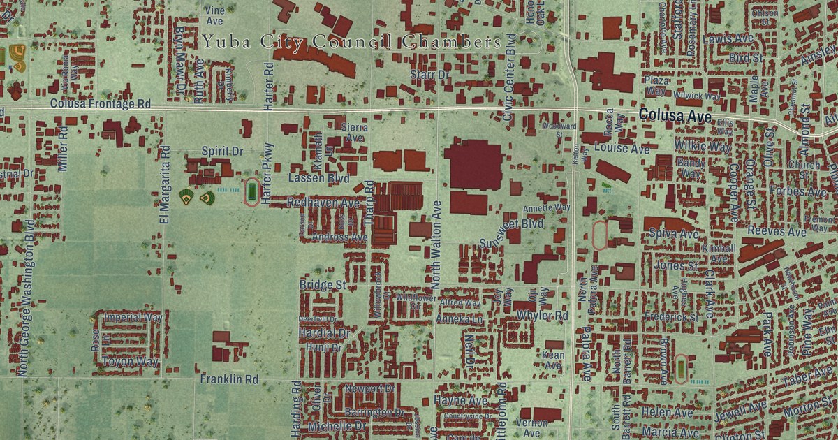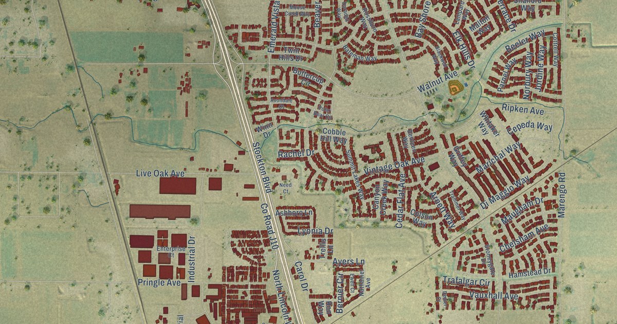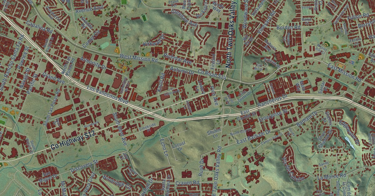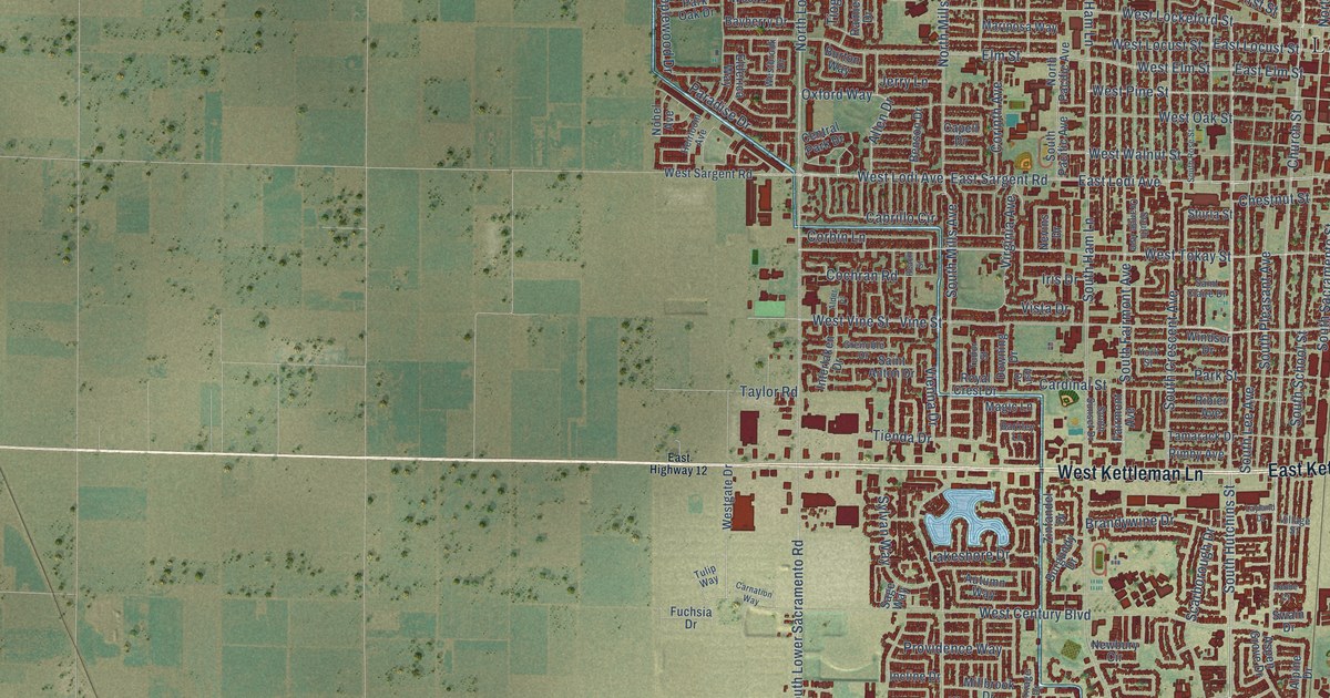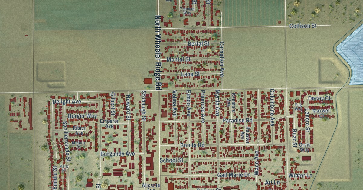
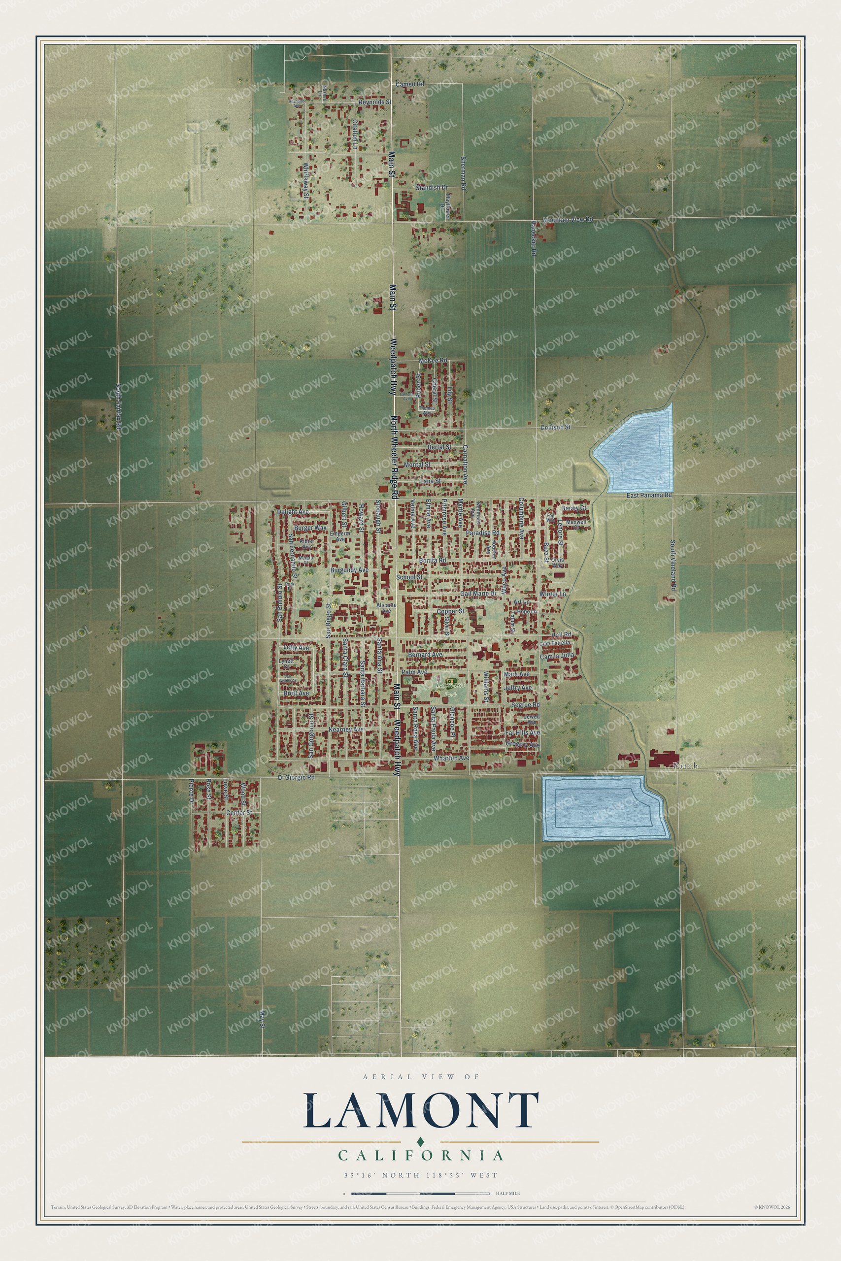
This beautifully detailed map of Lamont, California was created in 2026 using aerial imagery combined with modern topographical, census, street and landmark data. It's a modern aerial view of Lamont in Kern County, California, that combines modern data with a vintage aesthetic. The roads feature printed names, and if you look closely you can find your exact house accurately shown in its correct location.
Explore an aerial view of Lamont, California
On this map you'll find Lamont Park, Patch, Main Street, Weedpatch Highway, North Wheeler Ridge Road, Far Hills Avenue, San Gorgonio Street, Delight Avenue, Buzz Street, South Fairfax Road, Di Giorgio Road, East Panama Road, and more. Each red shape is a building, so zoom in on the preview and look for yours.
Lamont is a community in Kern County. The Census Bureau counted 14,049 people here in 2020. The map prints the town name in its title panel, with the coordinates below it.
Take a closer look at the Lamont map
Names on this map
These names are printed on this map.
Places: Lamont Park and Patch.
Streets and roads: Main Street, Weedpatch Highway, North Wheeler Ridge Road, Far Hills Avenue, San Gorgonio Street, Delight Avenue, Buzz Street, South Fairfax Road, Di Giorgio Road, East Panama Road, Habecker Road, Mountain View Road.
More street names, A to Z
Alicante Avenue, Art Lane, Bernard Avenue, Bertal Street, Bonita Road, Brett Avenue, Burger Way, Burgundy Avenue, Cameo Road, Cam Estrella, Cam la Jolla, Carnation Avenue, Center Street, Cheryl Street, Citation Lane, Collison Street, Columbine Avenue, Copper Street, Decoy Court, Elmco Avenue, Emperor Avenue, Fog Way, Gail Marie Drive, Gilbert Street, Glencoe Place, Gregory Avenue, Hall Road, Hope Lane, Houston Avenue, Howard Street, Jeffry Avenue, Jewell Avenue, Kearney Avenue, Kenmore Avenue, Lamont Avenue, Lana Street, Lenore Street, Letty Avenue, Lily Street, Lowe Street, Lynett Court, Mark Avenue, Mataro Court, Maxwell Court, Mayflower Drive, May Street, McKee Road, Montal Street, Myrtle Avenue, Nashua Lane, Orvis Way, Palm Avenue, Paradise Road, Park Place, Pierce Drive, Primrose Avenue, Reynolds Avenue, Reynolds Street, Ribier Avenue, Rose Street, Ruben Street, San Diego Street, San Emidio Court, San Emidio Street, San Fernando Street, Santa Ana Street, Santa Barbara Street, Santa Clara Street, Santa Paula Avenue, Santa Rosa Avenue, School Street, Segrue Road, Sherman Road, Silver Street, South Vineland Road, Standish Drive, Stobaugh Street, Tatum Street, Thomas Way, Velma Avenue, Waco Avenue, Wharton Avenue, Whirlaway Street, Williams Street, Winter Lane, Wood Street.
Created by KNOWOL in 2026. The buildings are small red shapes, the roads carry their printed names, and shaded relief shows the shape of the land. The title panel reads "AERIAL VIEW OF LAMONT CALIFORNIA" with 35°16' NORTH 118°55' WEST.
It suits a den, a classroom or a front hall, and it makes a gift for anyone with Lamont roots. Open the preview and find the block you know. See sizes and frames for the Lamont map.