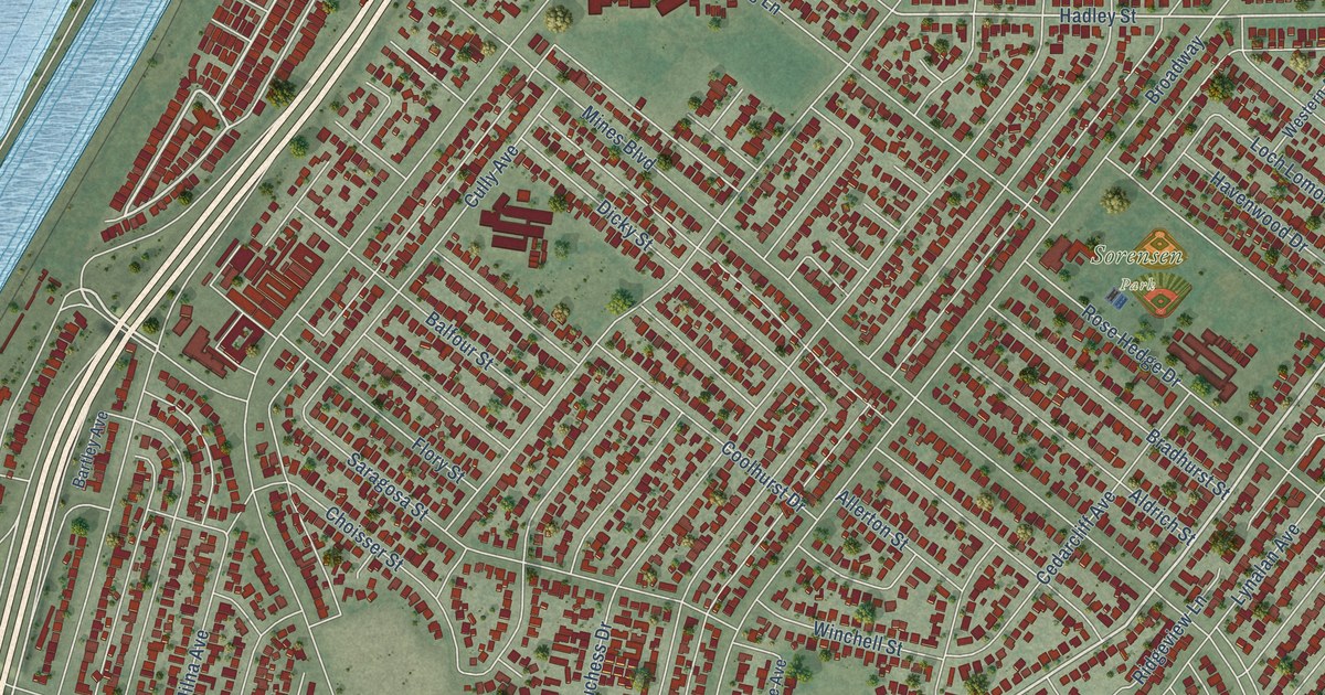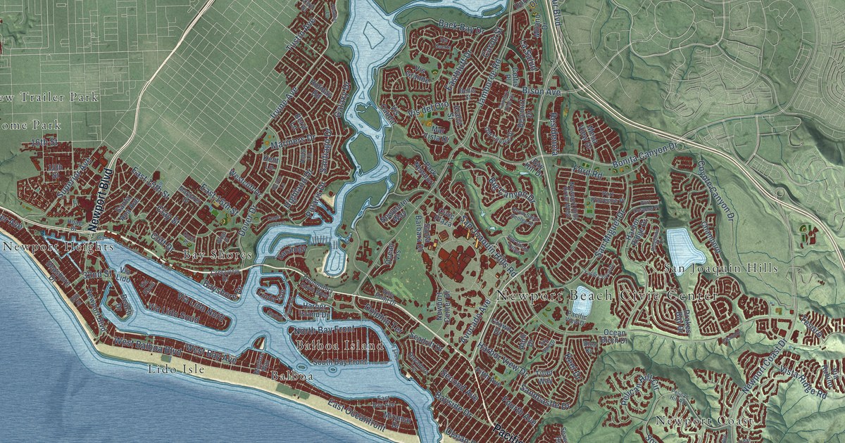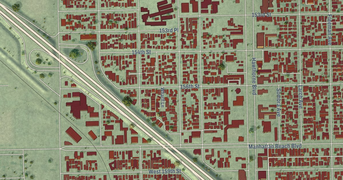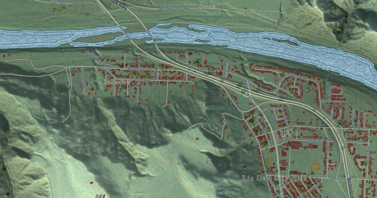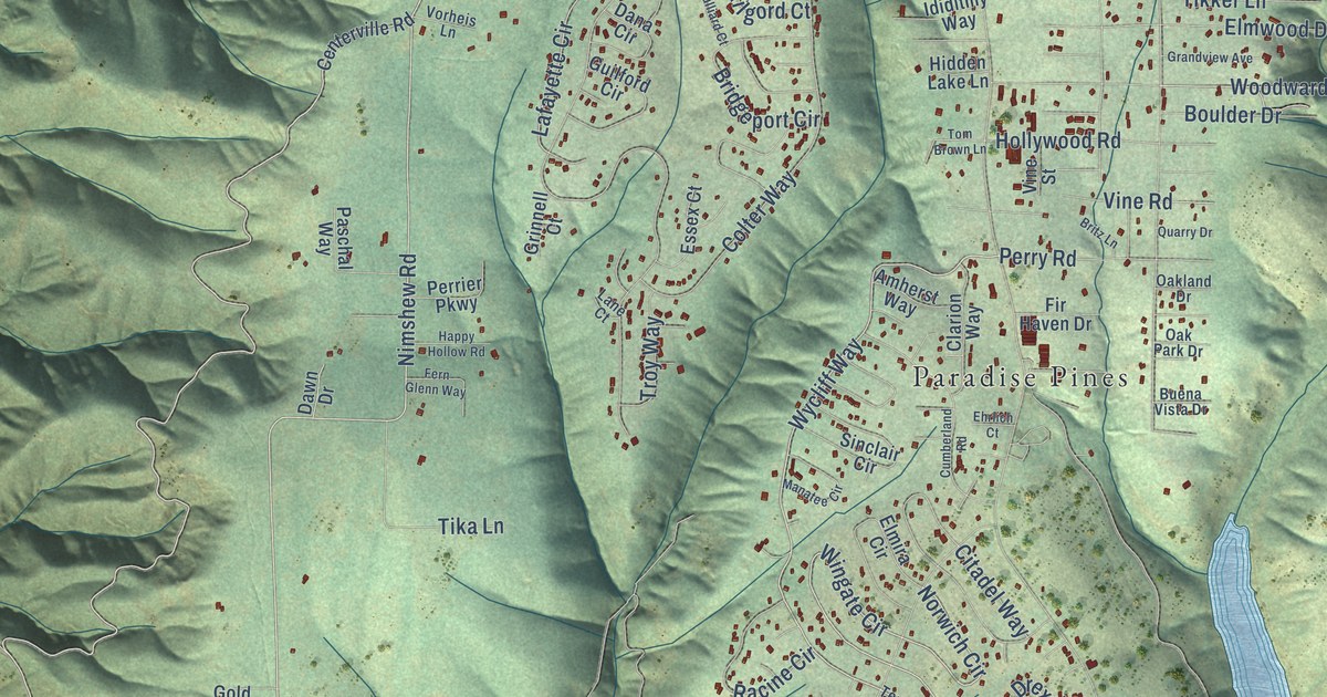
This beautifully detailed map of Magalia, California was created in 2026 using aerial imagery combined with modern topographical, census, street and landmark data. It's a modern aerial view of Magalia in Butte County, California, that combines modern data with a vintage aesthetic. The roads feature printed names, and if you look closely you can find your exact house accurately shown in its correct location.
Explore an aerial view of Magalia, California
On this map you'll find DeSabla, Mineral Slide, Nimshew, Irish Town, Paradise Pines, Nimshew Road, Wycliff Way, Wingate Circle, Dayton Hupp Mill Road, Norwich Circle, Lafayette Circle, Skyway, and more. Each red shape is a building, so zoom in on the preview and look for yours.
Here is a piece of Magalia history, in the words of the record. The record at ohp.parks.ca.gov puts it this way: "The Dogtown nugget was discovered April 12, 1859 at the Willard Claim, a hydraulic mine in the Feather River Canyon northeast of the town."
Magalia is a community in Butte County. The Census Bureau counted 7,795 people here in 2020.
Take a closer look at the Magalia map
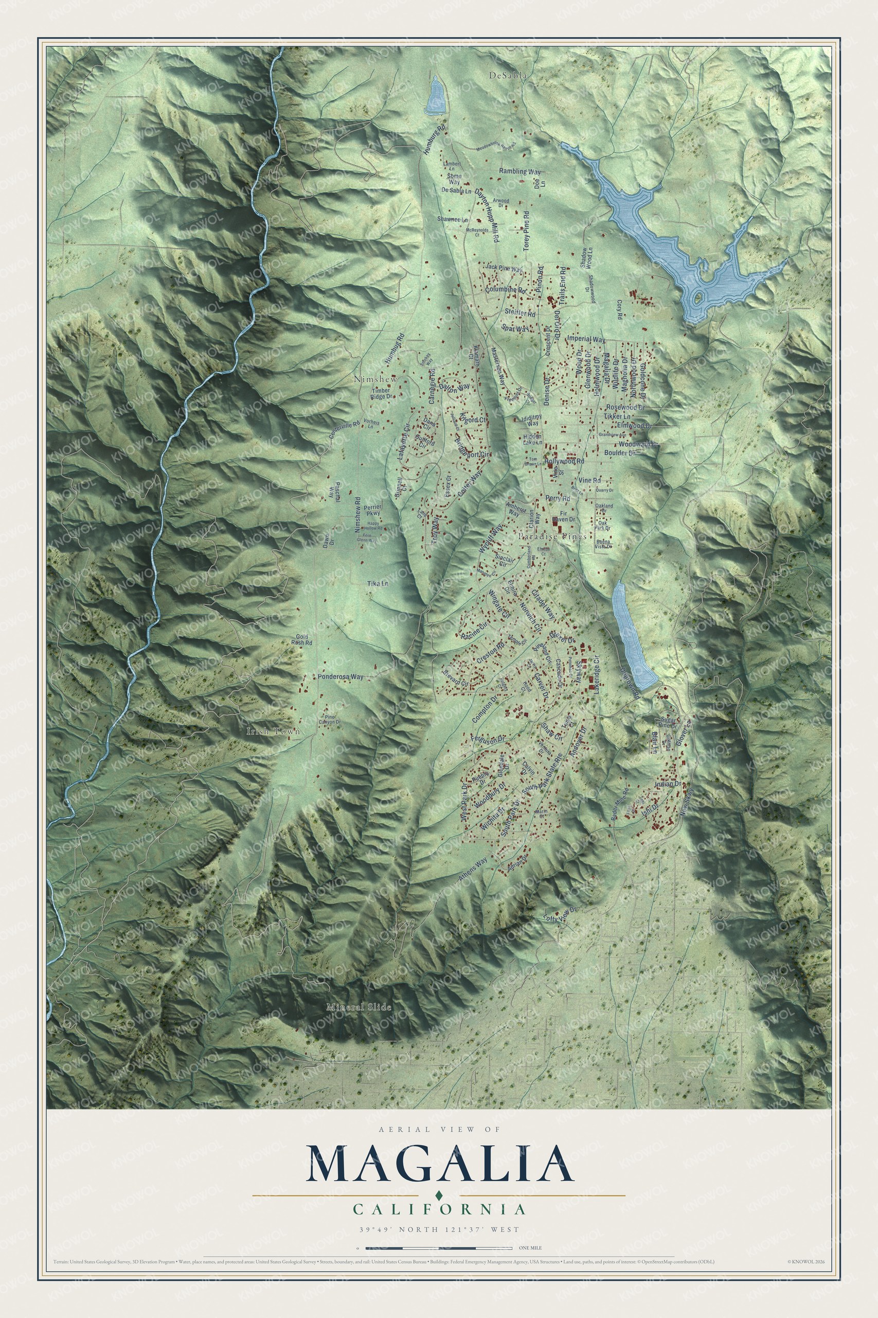
Names on this map
These names are printed on this map.
Places: DeSabla, Mineral Slide, Nimshew, Irish Town and Paradise Pines.
Streets and roads: Nimshew Road, Wycliff Way, Wingate Circle, Dayton Hupp Mill Road, Norwich Circle, Lafayette Circle, Skyway, Ponderosa Way, Steiffer Road, Carnegie Road, Athens Way, Andover Drive.
More street names, A to Z
Adrian Drive, Amherst Way, Arwood Drive, Bader Mine Road, Blair Lane, Boulder Drive, Brevard Circle, Bridgeport Circle, Bridger Court, Britz Lane, Buena Vista Drive, Calvin Drive, Carver Drive, Cascade Drive, Centerville Road, Citadel Way, Clarion Way, Colter Way, Columbine Road, Compton Drive, Cory Road, Crescent Drive, Creston Road, Cumberland Road, Dalton Way, Dana Circle, Dawn Drive, Del Oro Drive, Denise Drive, De Sabla Lane, Doe Lane, Dogtown Road, Drexel Drive, Ehrlich Court, Elmira Circle, Elmwood Drive, Essex Court, Ferguson Drive, Fern Glenn Way, Fir Haven Drive, Fremont Drive, Gilfillan Drive, Glendale Drive, Glenwood Drive, Glover Lane, Goldcone Drive, Gold Rush Road, Grandview Avenue, Grinnell Court, Guilford Circle, Happy Hollow Road, Hidden Lake Lane, Hollywood Road, Holmwood Drive, Hood Court, Humbug Road, Humburg Road, Ididitmy Way, Imperial Way, Indian Drive, Ishi Drive, Jack Pine Way, Jarvis Circle, Julliard Court, Kilgord Court, Klamath Court, Lakeridge Circle, Lambert Lane, Lane Court, Lofty View Drive, Magalia Drive, Magnolia Drive, Manatee Circle, Marin Court, Masterson Way, McReynolds Court, Meadowbrook Ranch Road, New Skwy, Northwood Drive, Oakland Drive, Oak Park Drive, Paschal Way, Perrier Parkway, Perry Road, Pine Canyon Drive, Pineland Circle, Pinon Road, Potomac Drive, Pueblo Drive, Quarry Drive, Racine Circle, Rambling Way, Rosewood Drive, Rutgers Court, Shadowwood Drive, Shadow Wood Lane, Shaw Circle, Shawnee Lane, Sinclair Circle, Smokey Way, Some Way, South Park Drive, South Park State Route, Spar Way, Sugar Pine Drive, Temple Circle, Tika Lane, Tikker Lane, Timber Ridge Drive, Tom Brown Lane, Torey Pine Road, Trails End Road, Troy Way, Tulsa Court, Ventura Drive, Vine Road, Vine Street, Vorheis Lane, West Park Drive, Wichita Drive, Wildlife Drive, Woodbury Drive, Wood Drive, Woodward Drive, Yahi Court, Yana Court.
Created by KNOWOL in 2026. The buildings are small red shapes, the roads carry their printed names, and shaded relief shows the shape of the land. The title panel reads "AERIAL VIEW OF MAGALIA CALIFORNIA" with 39°49' NORTH 121°37' WEST.
It suits a den, a classroom or a front hall, and it makes a gift for anyone with Magalia roots. Open the preview and find the block you know. See sizes and frames for the Magalia map.